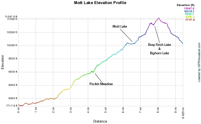
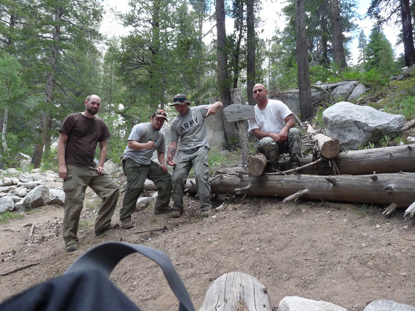
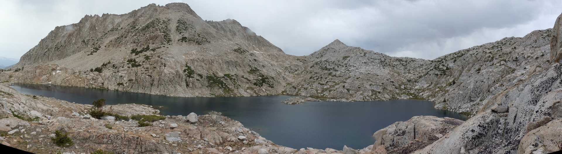
Mott Lake 2009
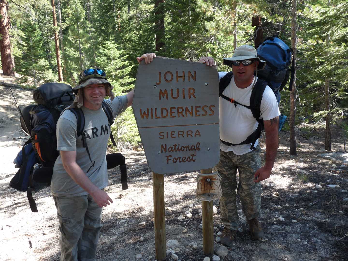
Wilderness: John Muir Wilderness
Trail System: John Muir Trail
Latitude: 37.2715
Longitude: 118.5257
Elevation: 10,061 feet
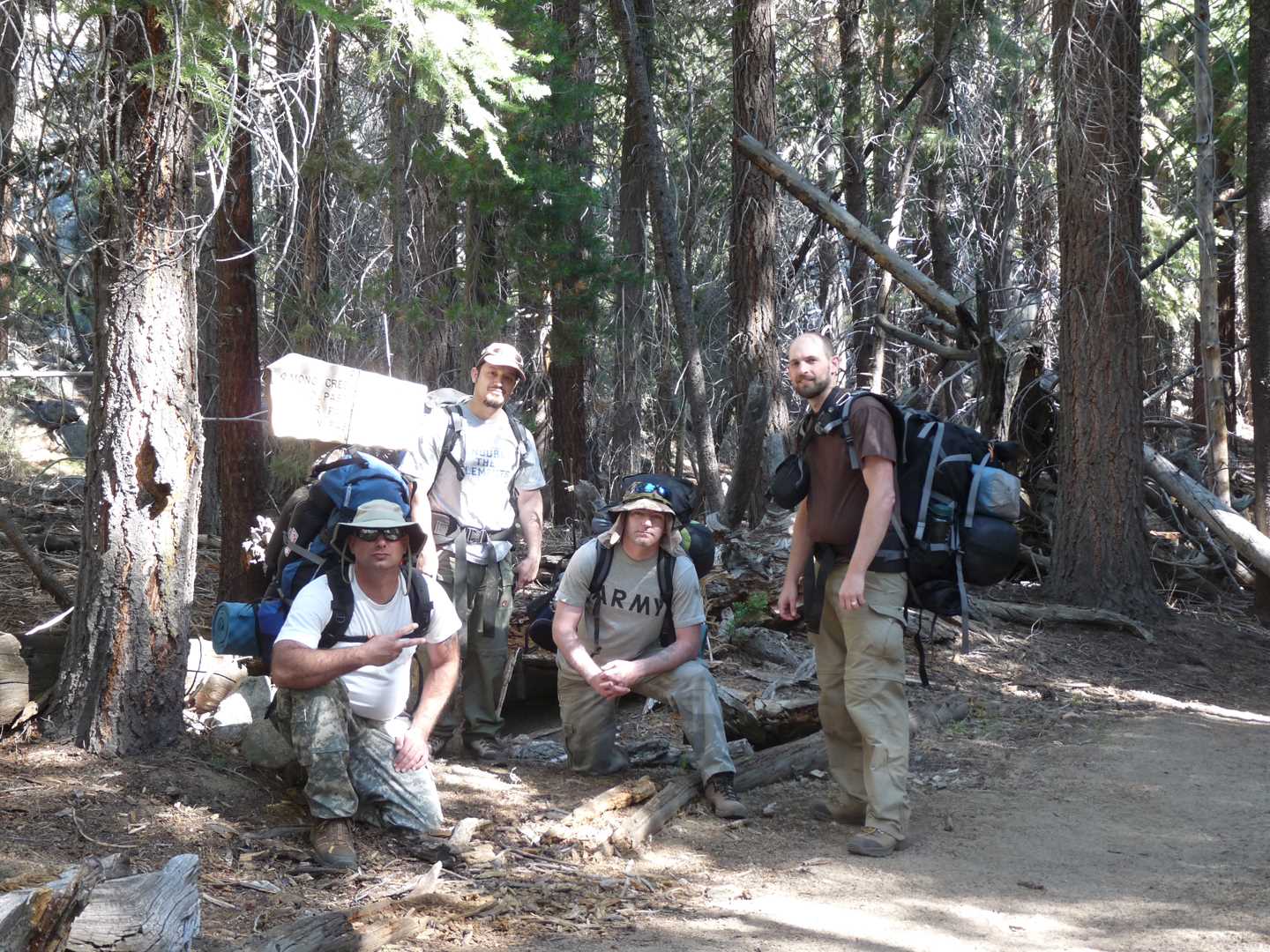
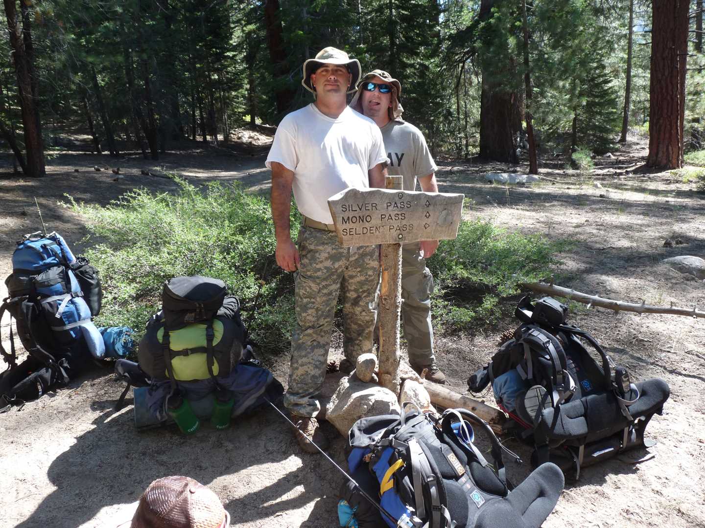
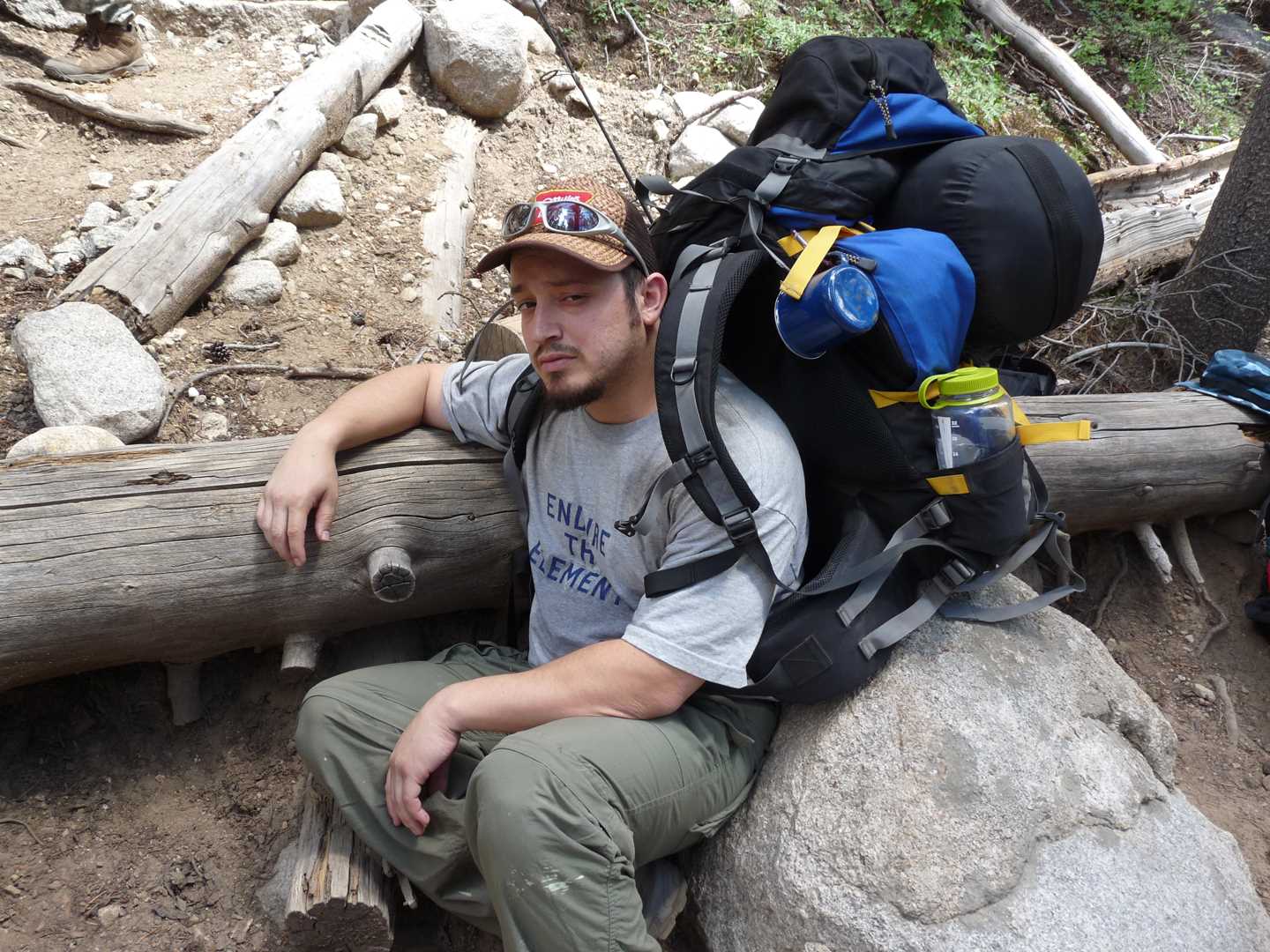
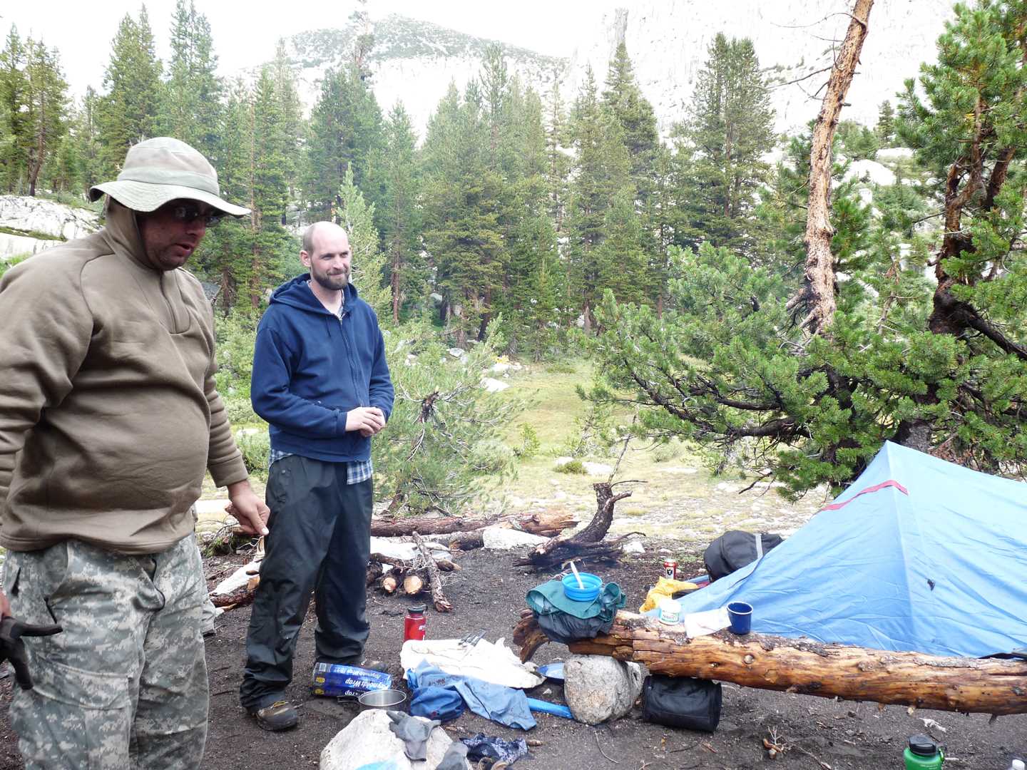
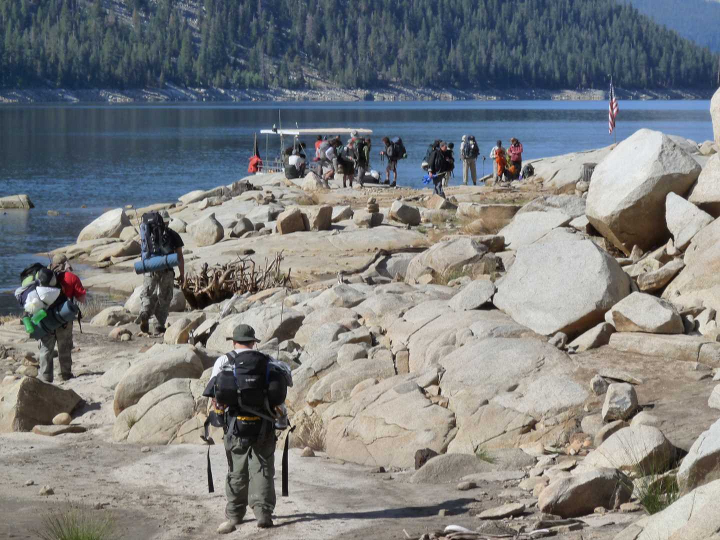
The hike this year begins at Lake Thomas A. Edison located off of Kaiser Pass Road in the Sierra National Forest. Three trails are used to get to Mott lake which include Mono Creek Trail and the Pacific Crest Trail/John Muir Trail (PCT/JMT). To access the this trail, we took the Edison Ferry across the lake which then ties in to the trail system. Most of our gear weighs anywhere from 40 lbs to 55 lbs and because our trips are not high-mileage trips, we are able to pack more items like beer and fresh food. The group consists of three main core people; Chris, Chris and Erik as well as an added first time packer named Chris also. The trip begins on August 21nd and ends on August 24th
Day 1 – Hike in
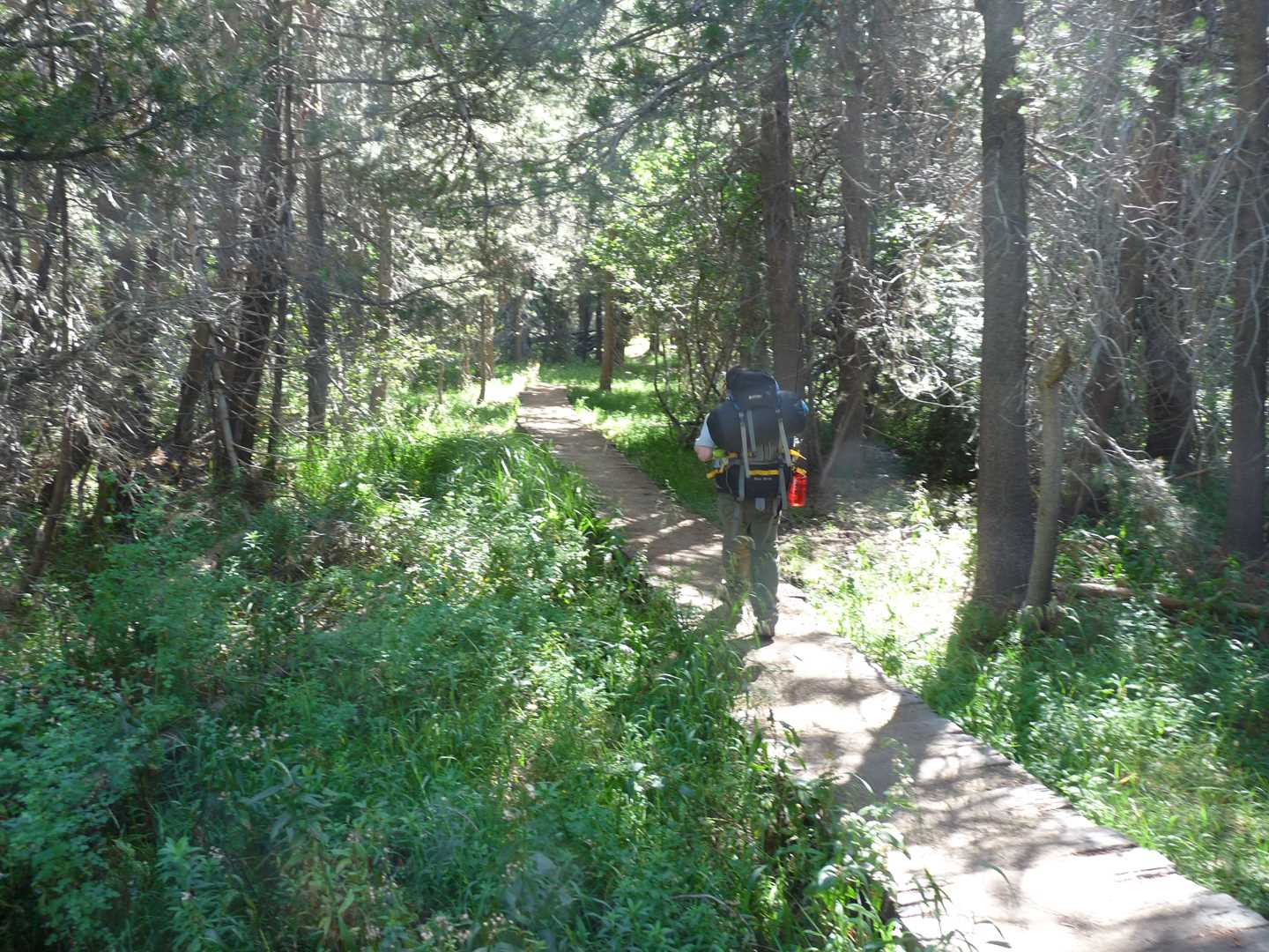
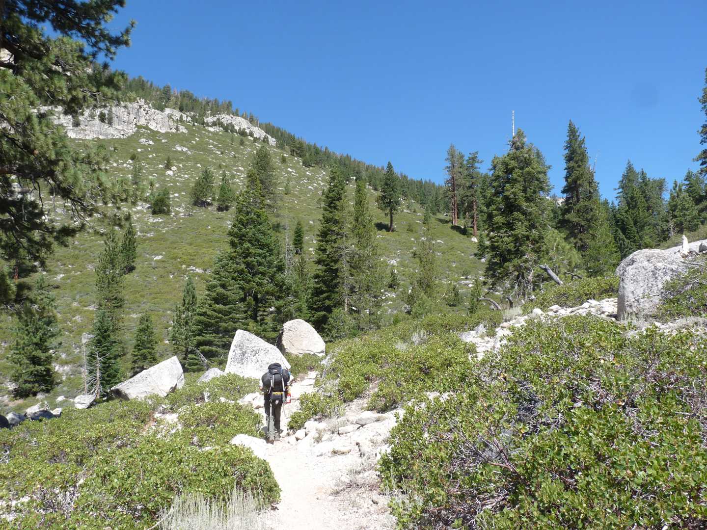
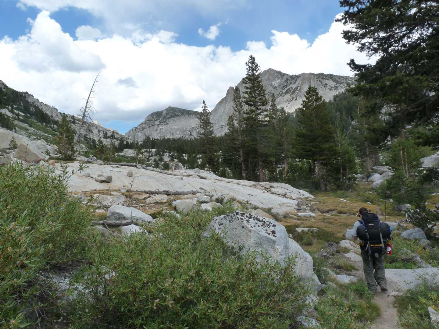
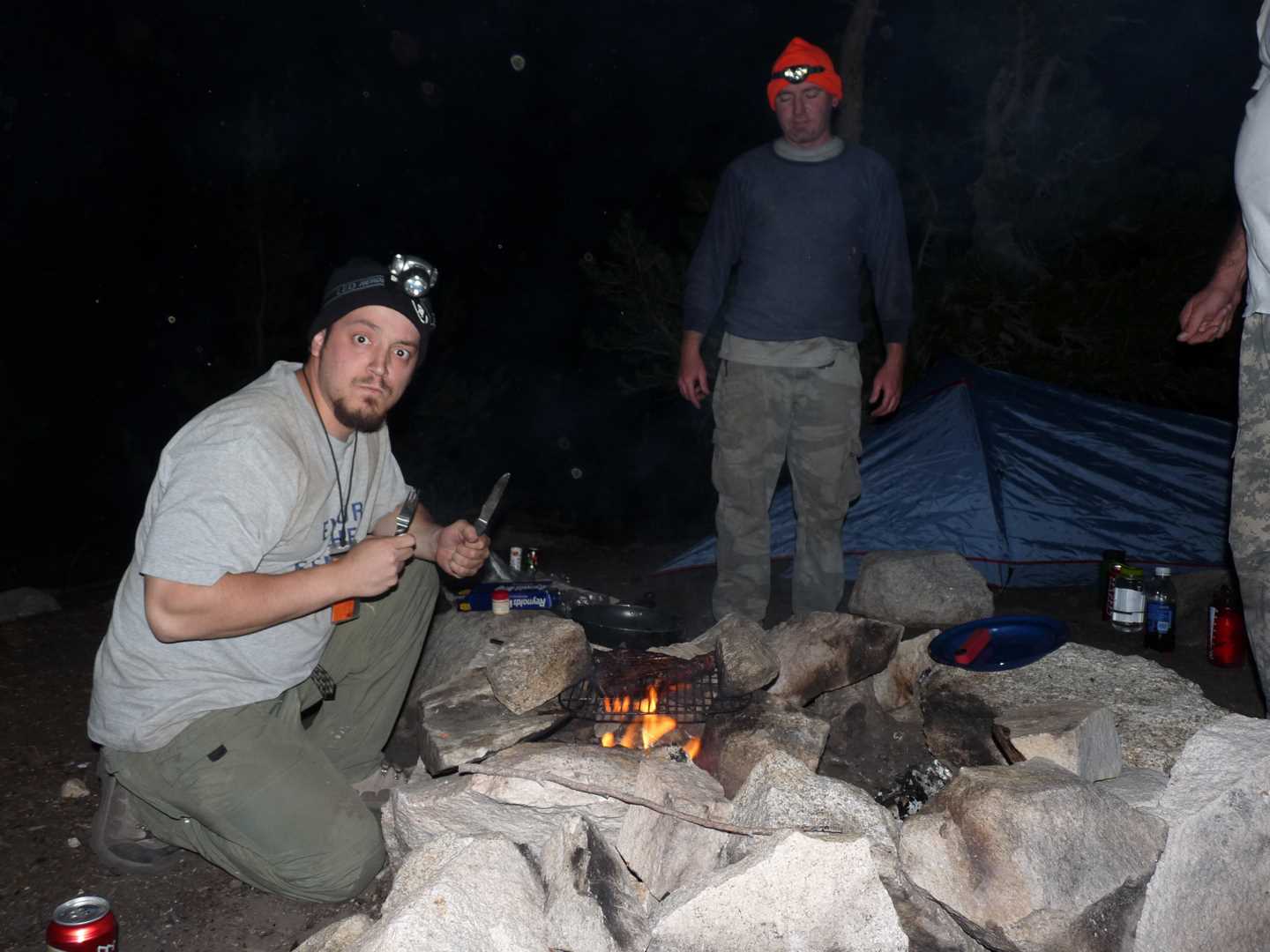
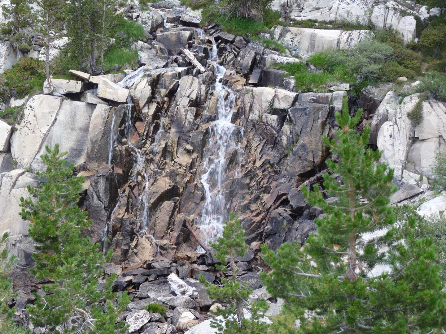
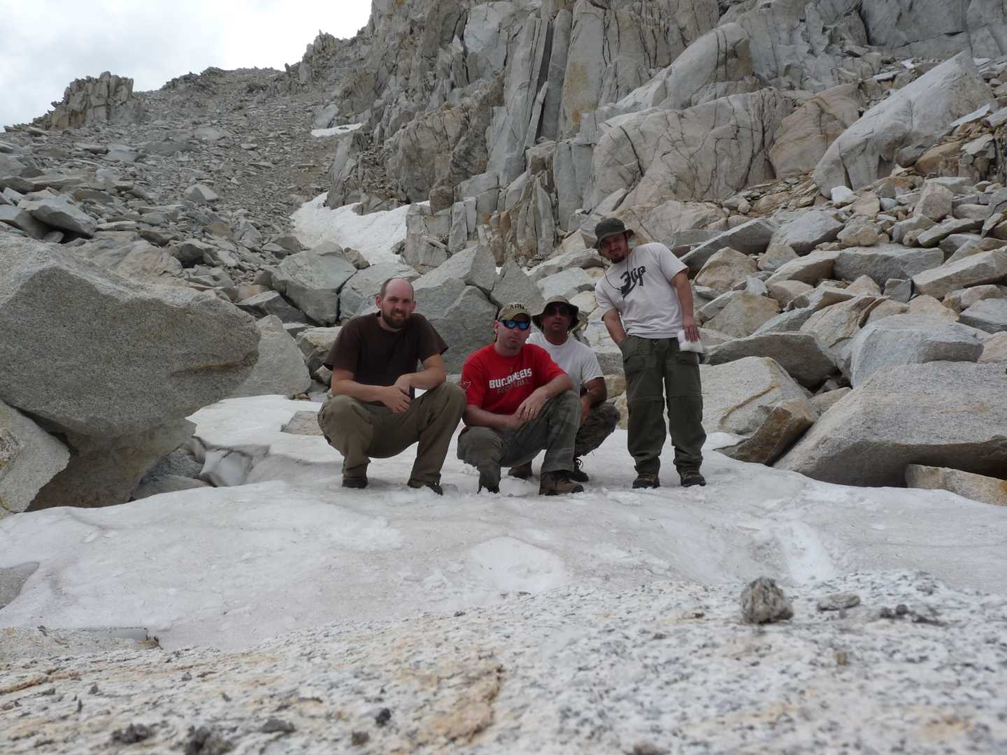
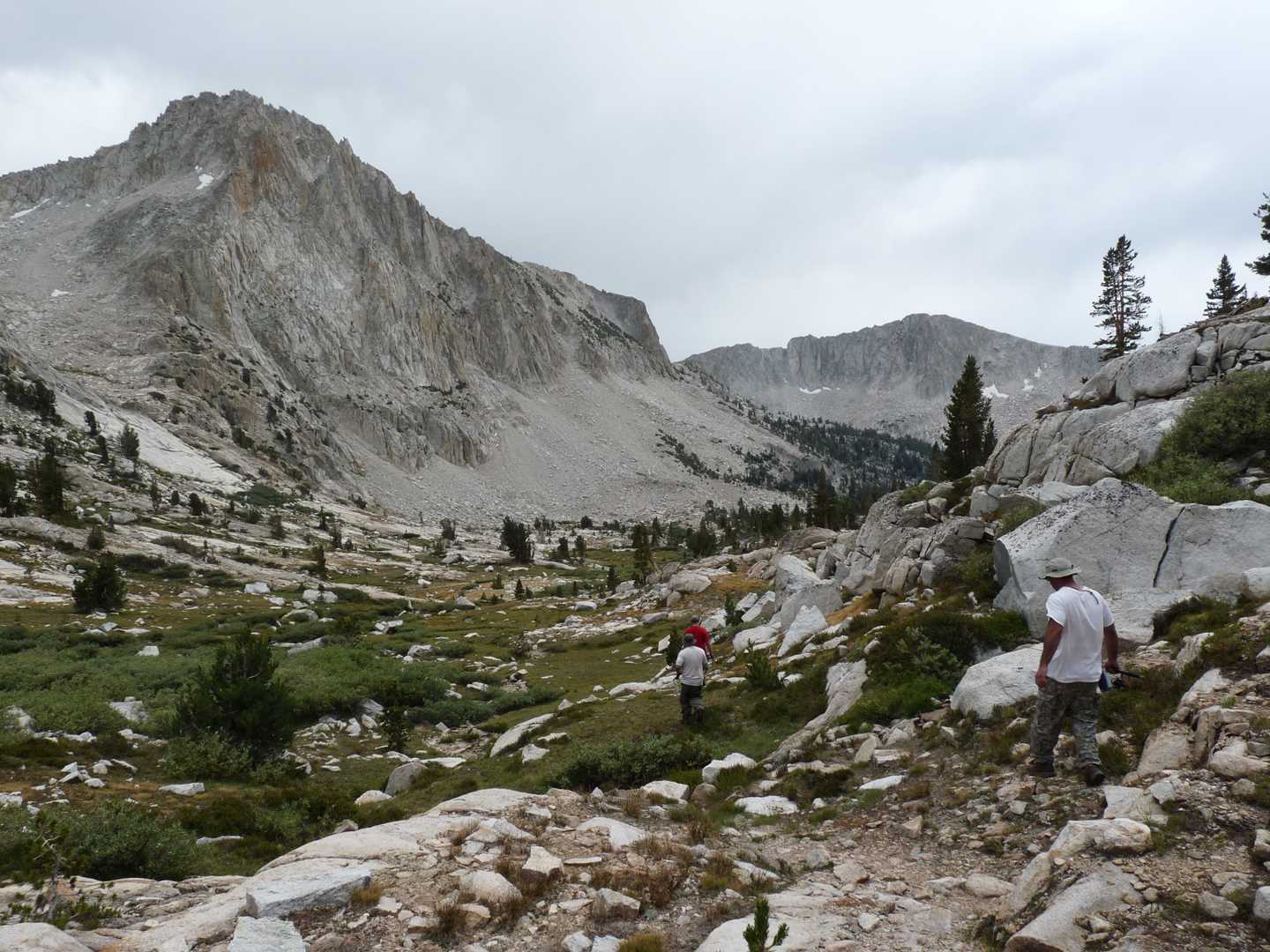
Day one is pretty much travel day. We all meet at Chris M’s house, pile in the car and start driving. The ferry that we will meet at 9:30 a.m. takes us across the lake ($18 round trip) where we meet the trail. The first part of the trail is called the Mono Creek Trail. It is 1.4 mile to the first junction located within the green landscape called Quail Meadow (although I never saw one). At this point, we tie in with the JMT/PCT and follow it for another 1.4 miles. Here is where the PCT/JMT continues on or you can continue down the Mono Creek Trail system. From here, we head towards the Mott Lake Trail junction located another 1.4 miles. The climb from Edison to the Mott Lake junction isn’t too bad, but really takes its toll for someone who is out of shape. After reaching the Mott Lake Trail junction, we take a break and then continue on. The last section of trail is steep at first, then a steady climb and then steep the last section. After doing this for the next 2.2 miles, we finally reach Mott Lake. Mott Lake sits at 10,040 feet and you can really feel the lack of oxygen in your lungs. For the rest of the night, we set up camp, cook food and then hit the sack early.
Day 2 – Fish the lakes
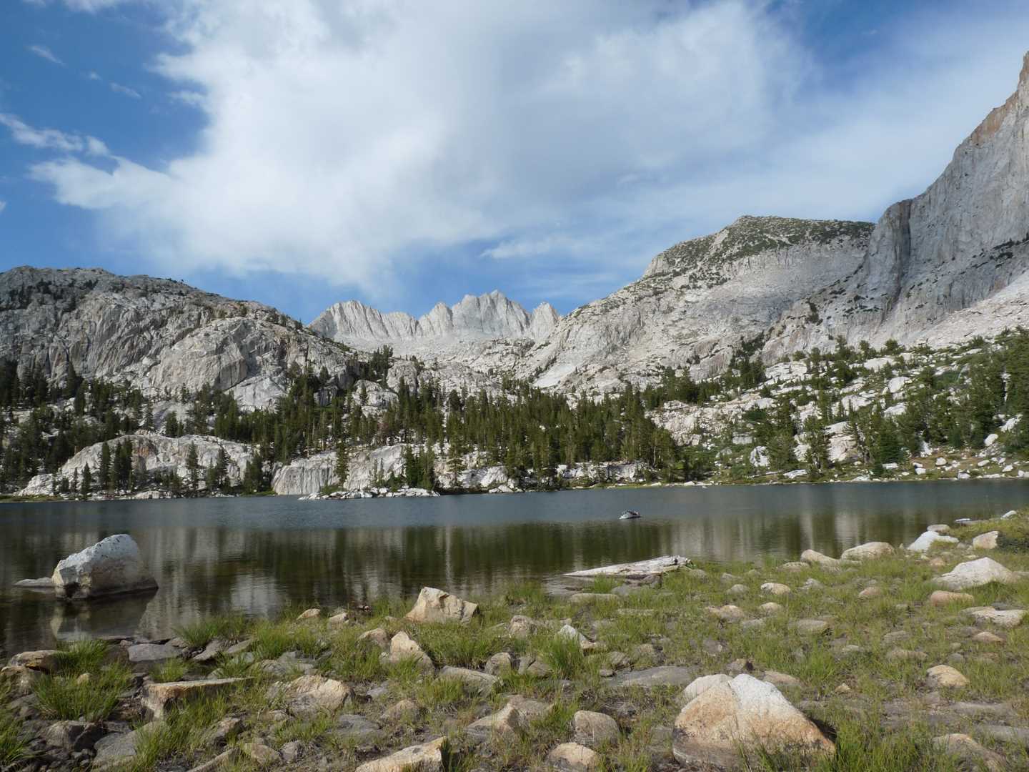
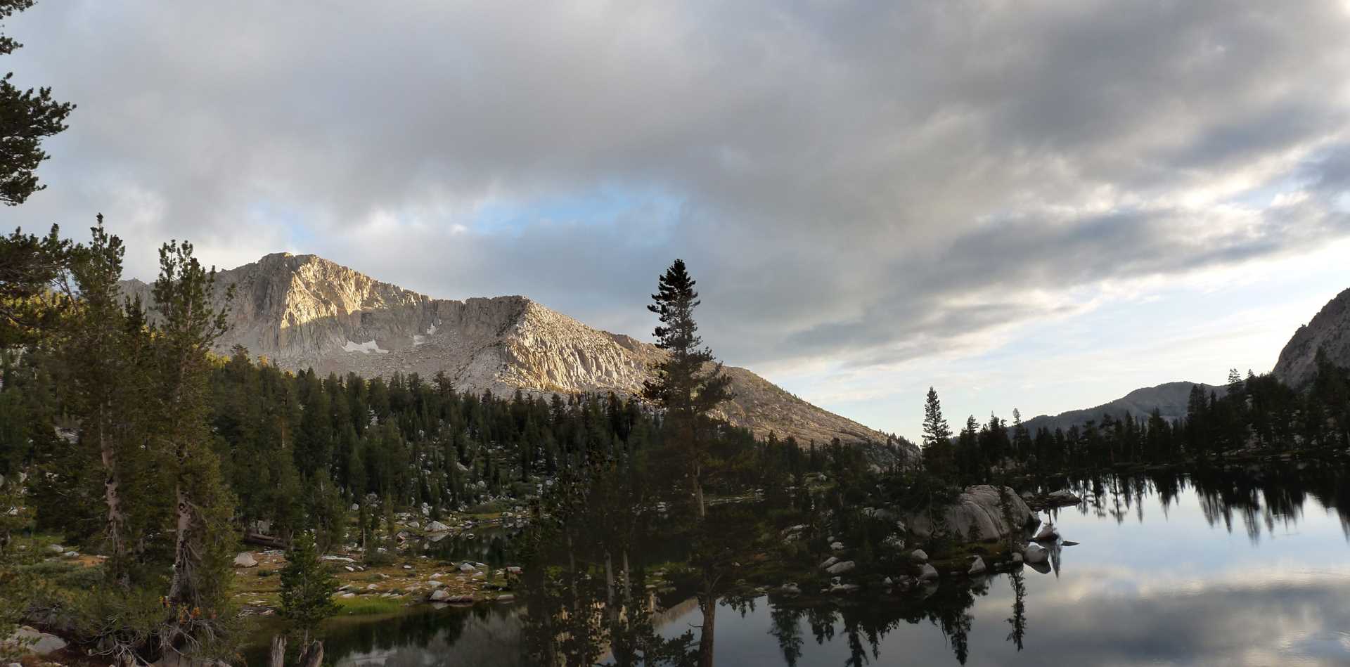
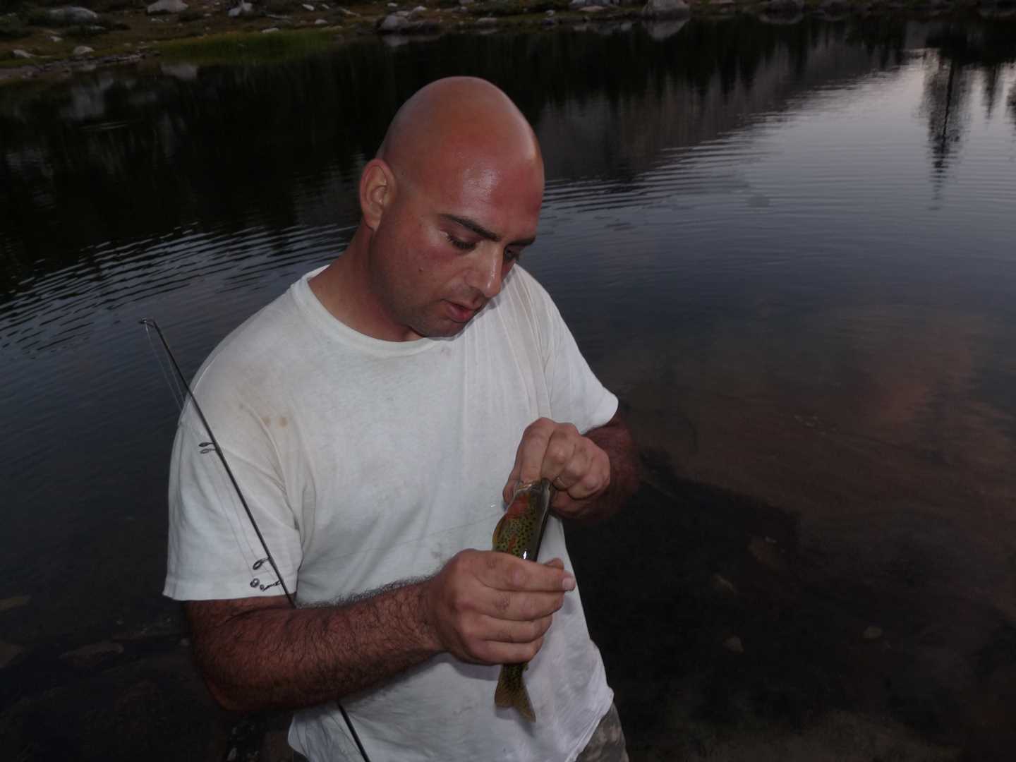
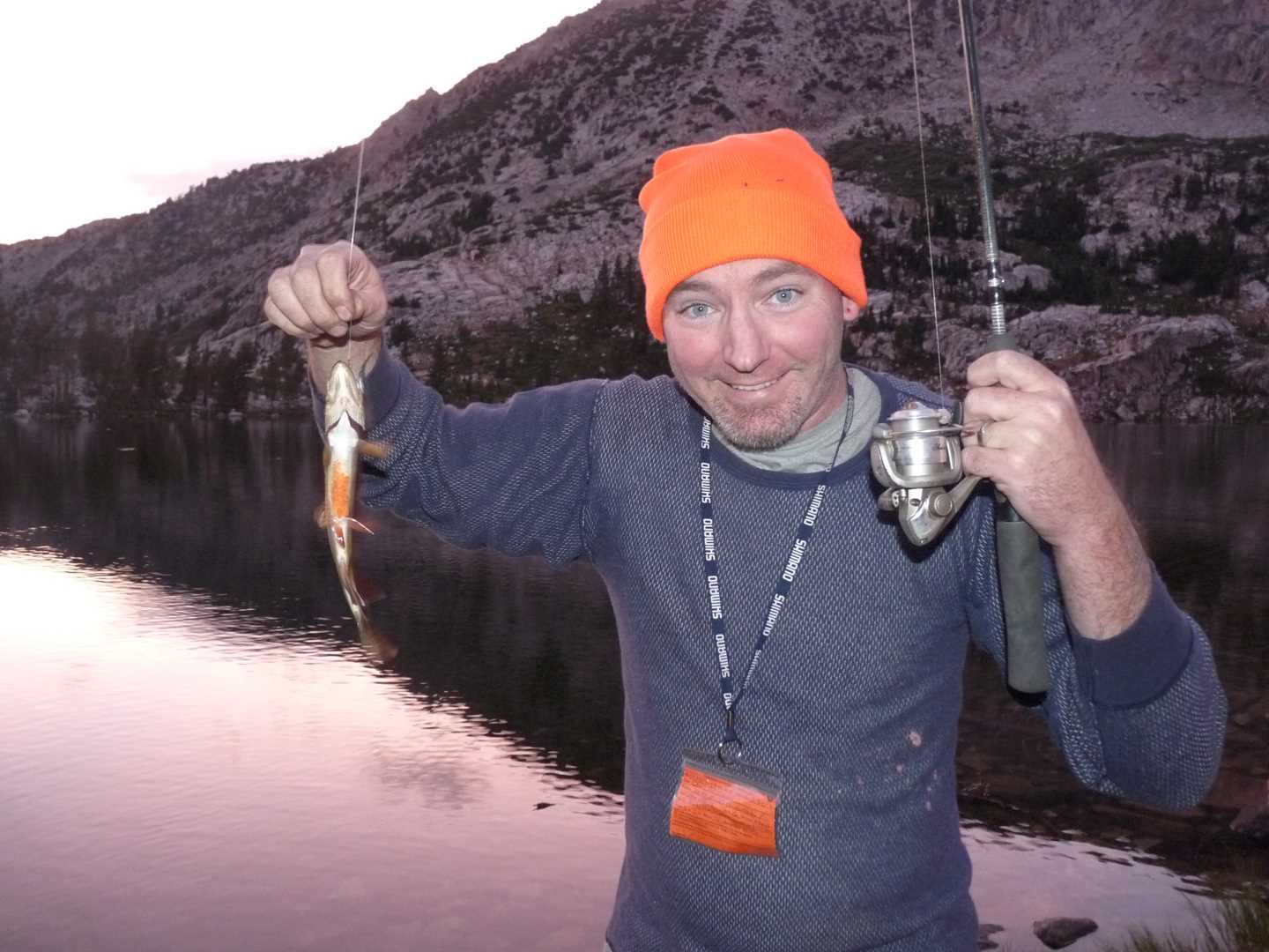
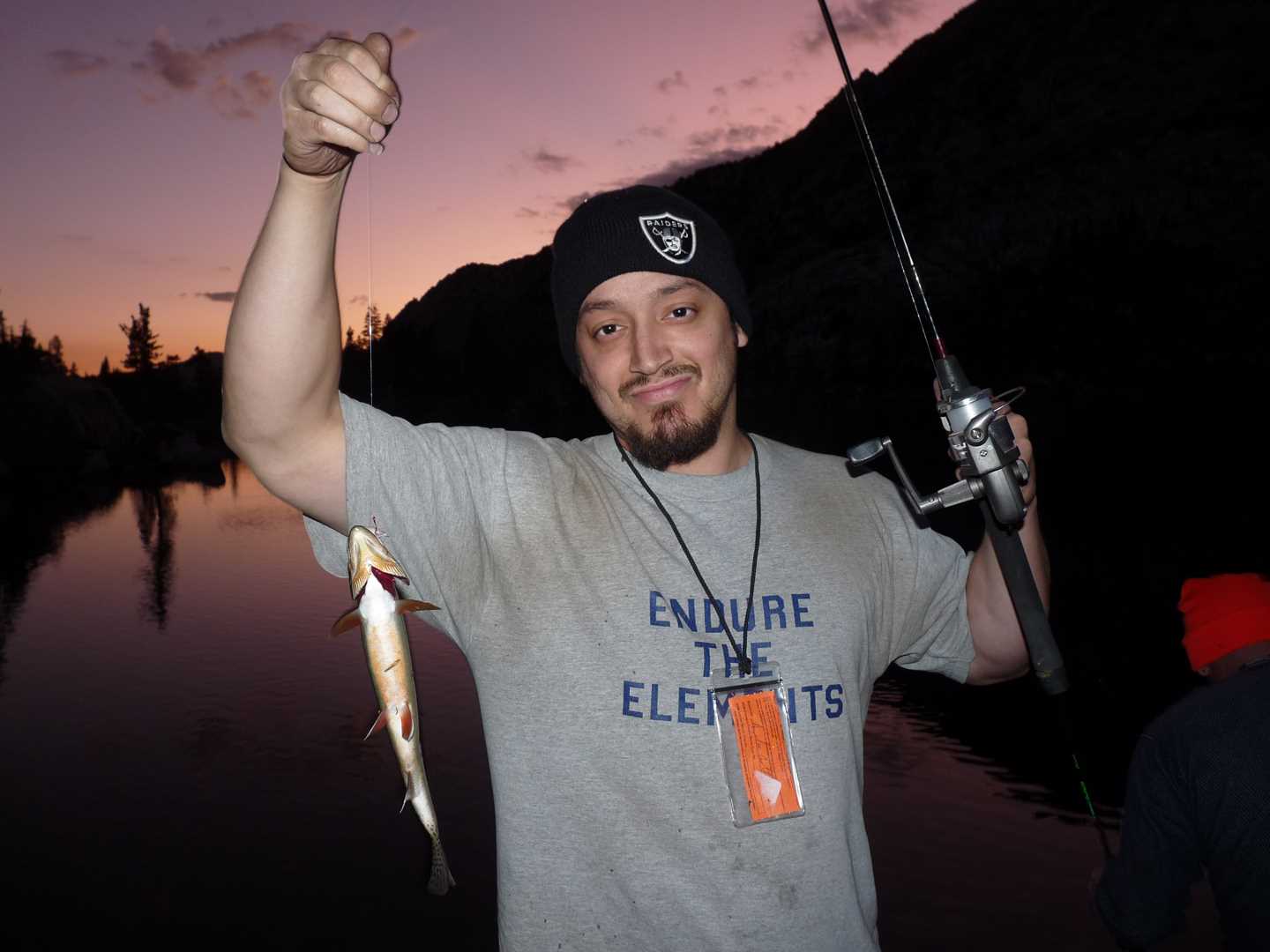
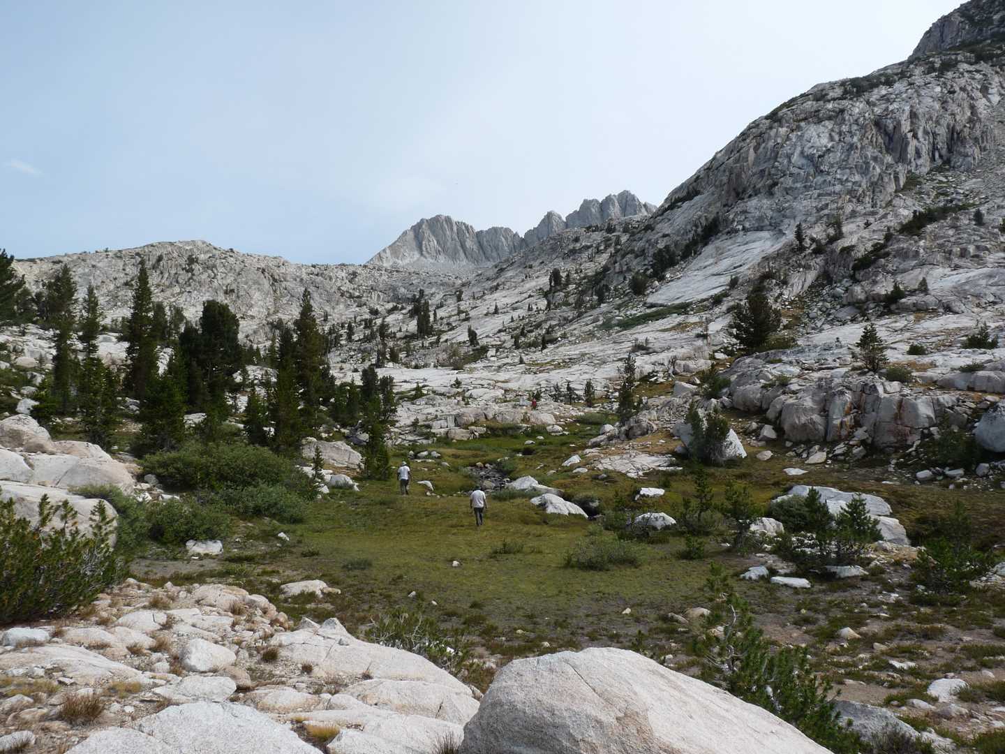
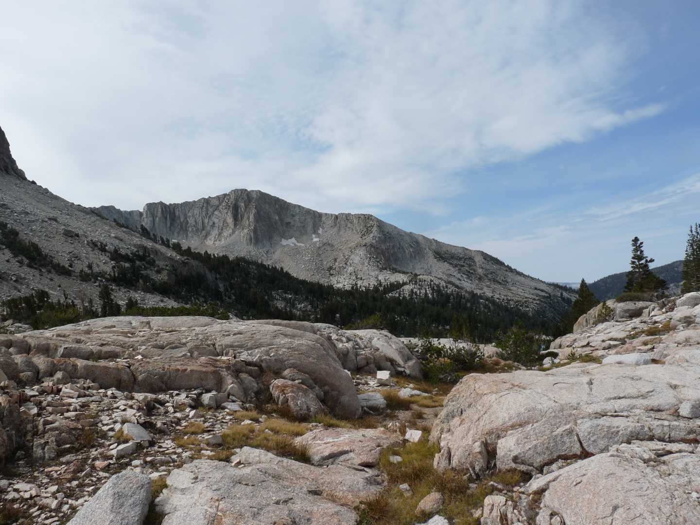
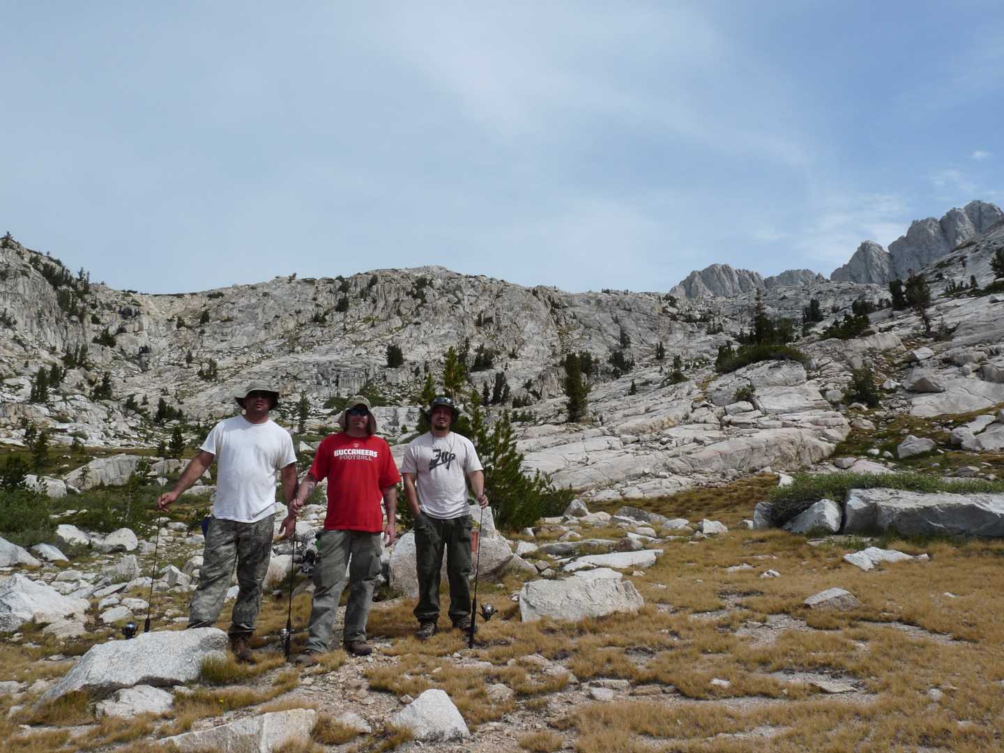
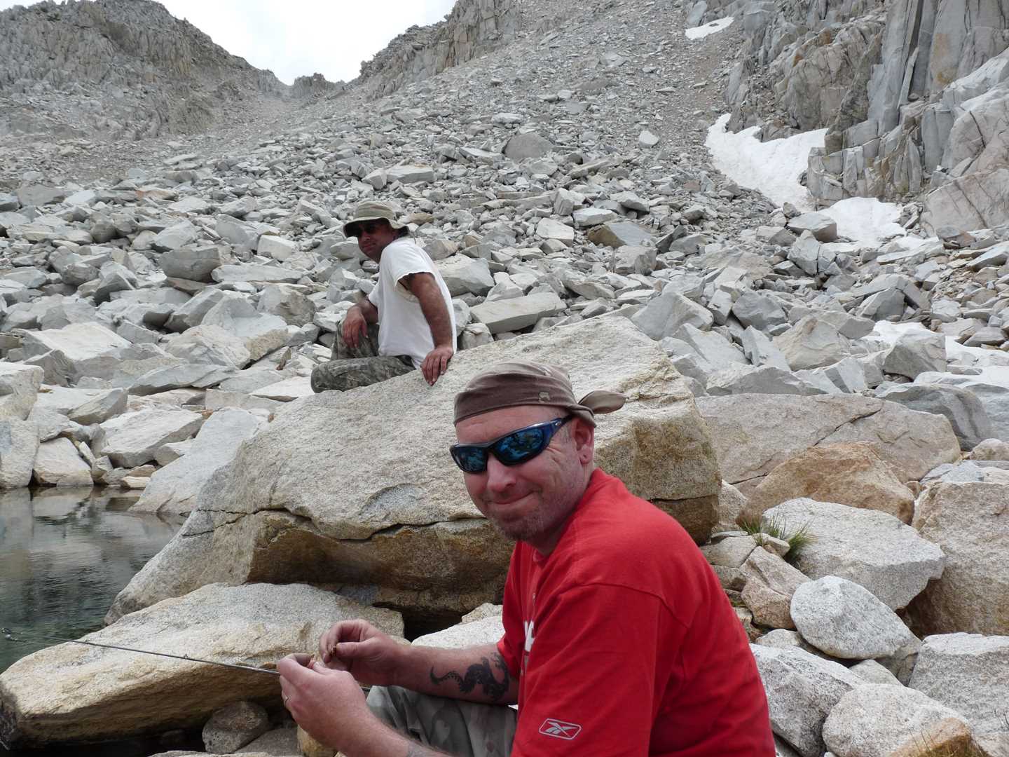
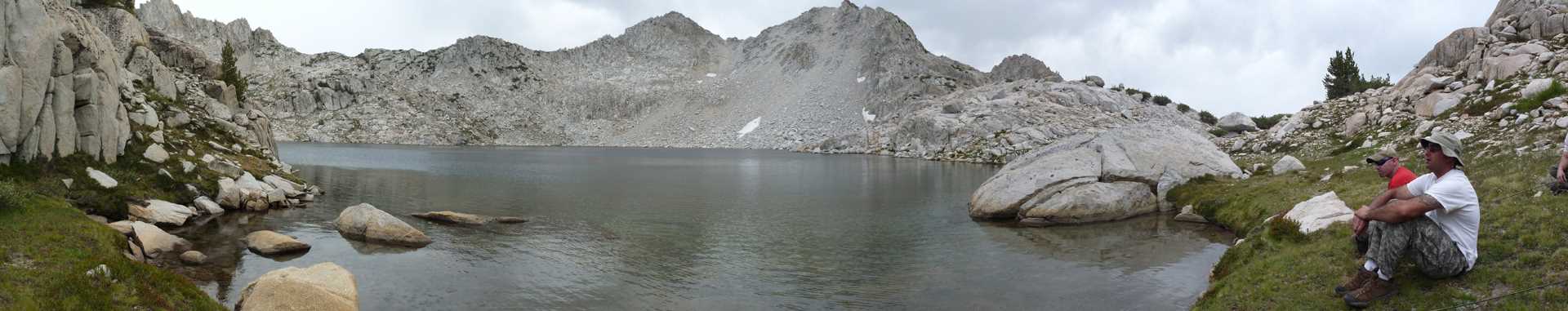
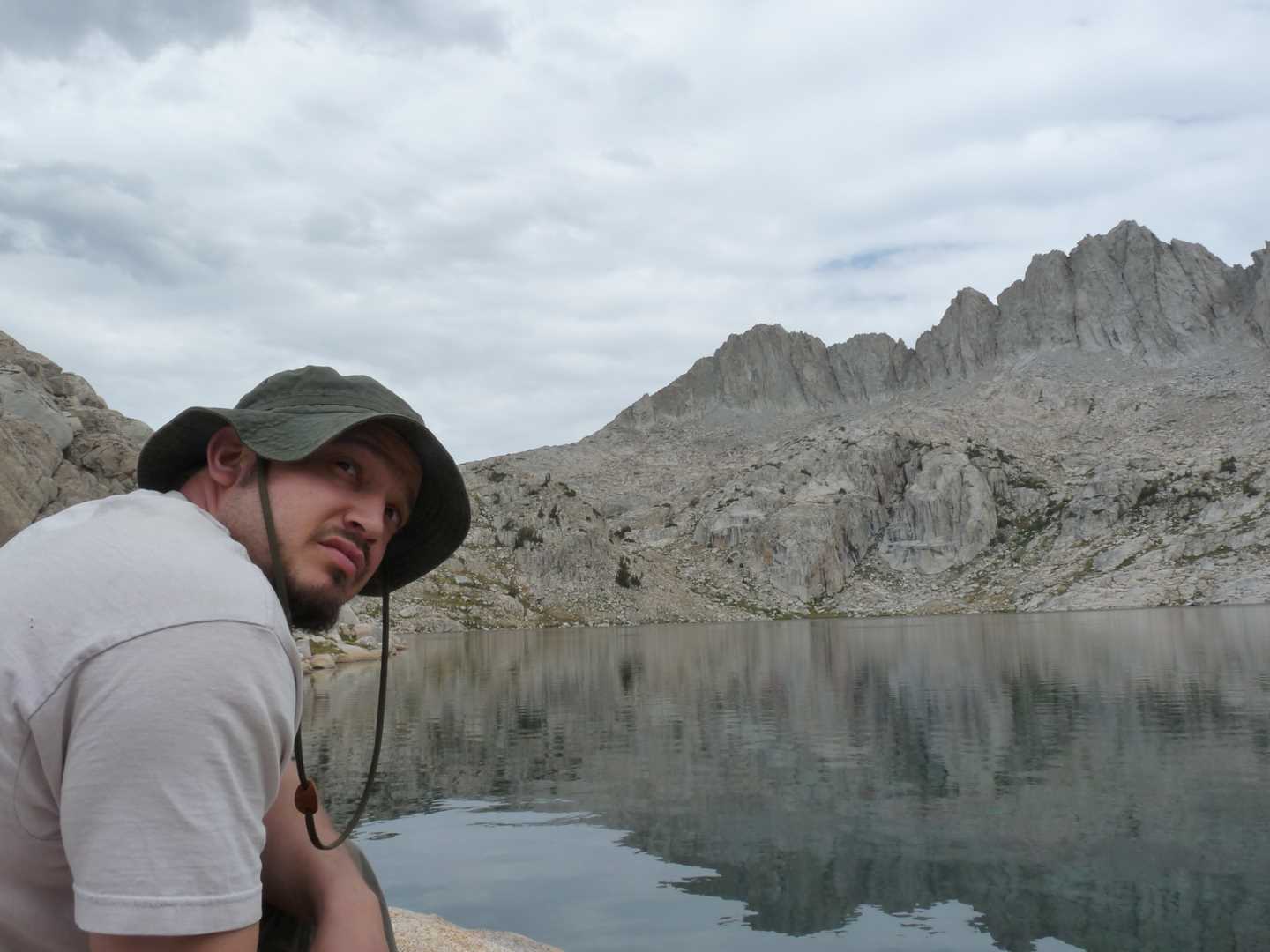
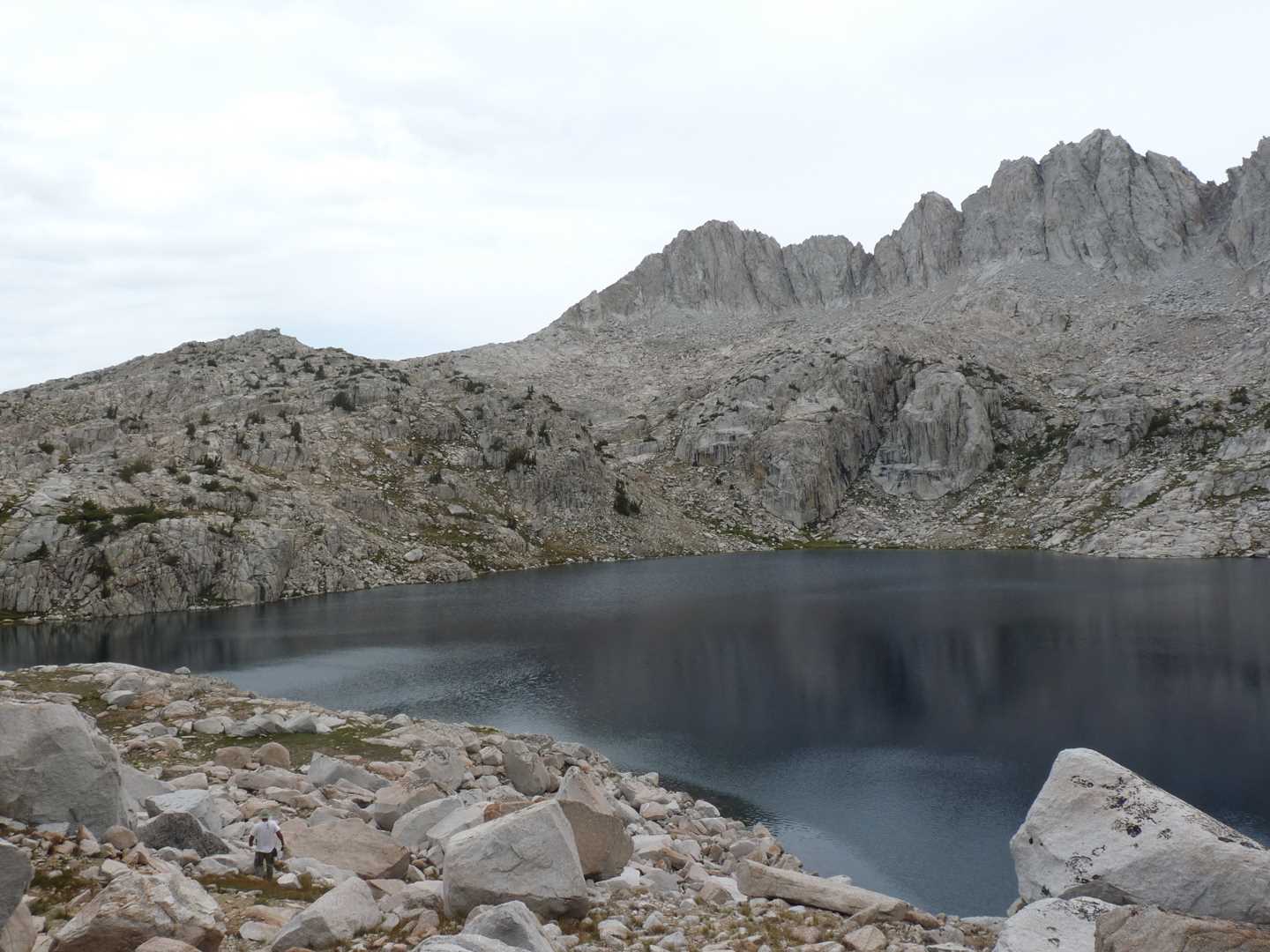
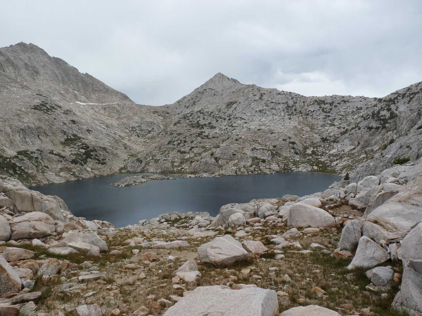
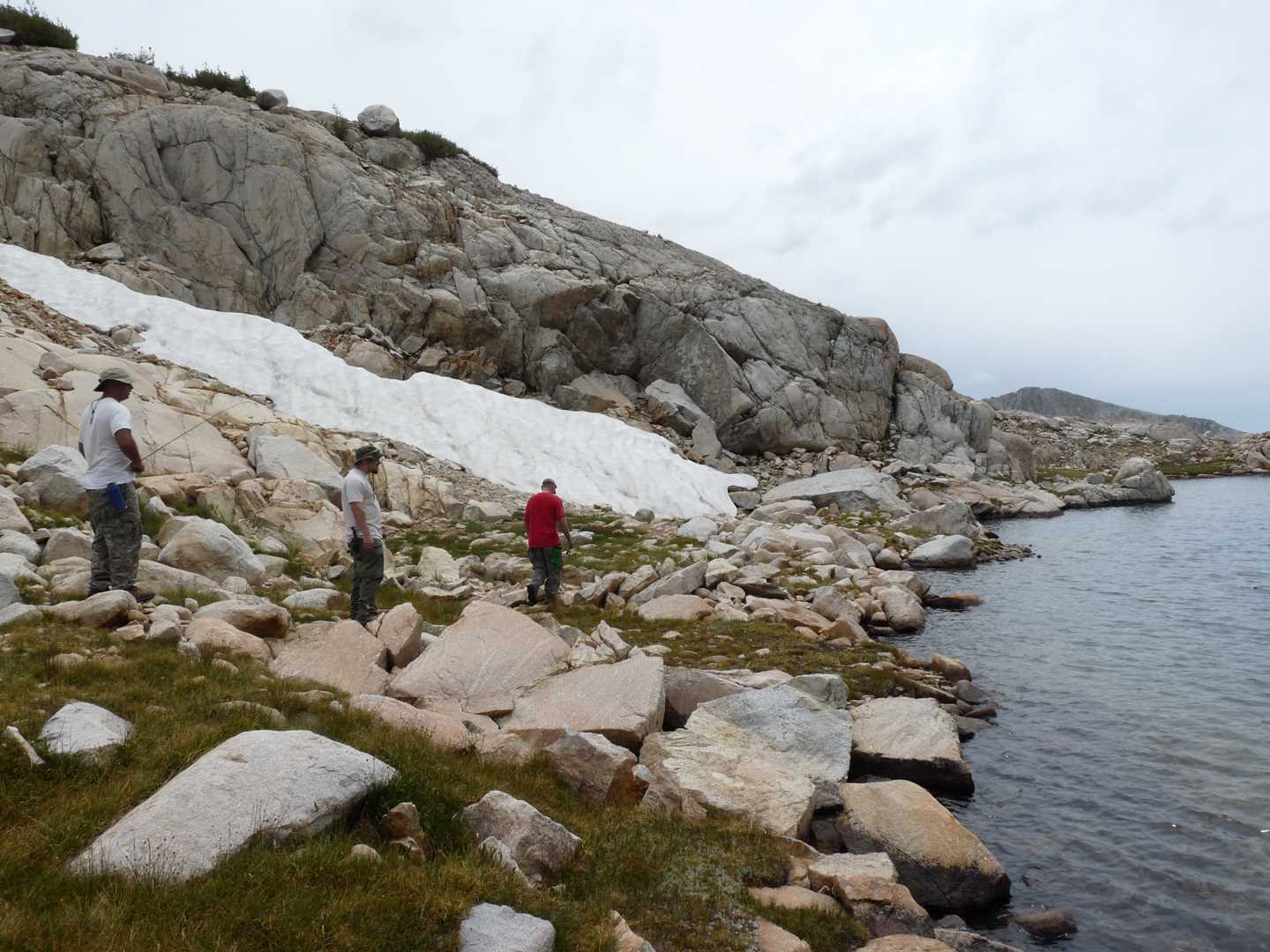
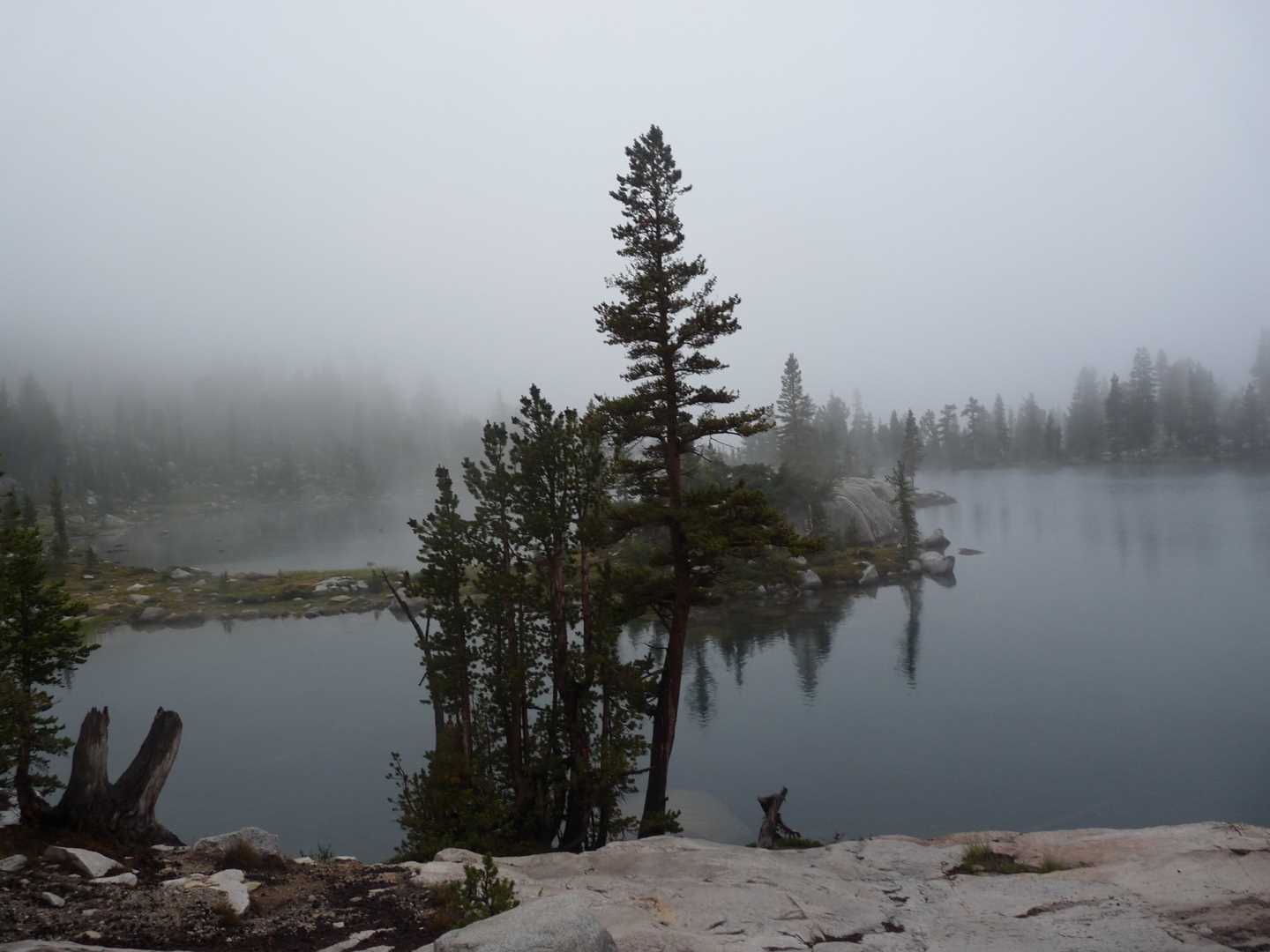
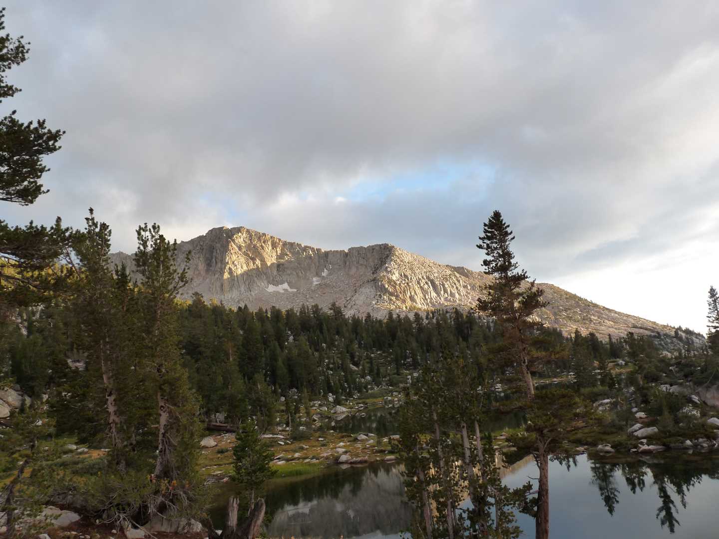
The morning comes quick and brings with it lots of clouds. Fortunately enough, they are not thunder heads and just mute the sun most of the day. Today we will visit Rosy Finch Lake and Bighorn Lake approximately 1 mile away. After getting a quick meal, we filter water and then head cross-country up the North Fork creek. As sore as we are, it takes awhile, but we finally reach Rosy Finch lake. It is 100% granite in all directions and the water is as blue as the sky. We hang out at this lake for a while and give fishing a try. It pays off when Chris lands us a nice rainbow trout to take back to camp. It was also nice to see a little bit of the remaining winter and gather a little snow to keep our fish cool until we reached camp again. After fishing, we cross-country about a half-mile to Bighorn Lake. At this point, it start raining very lightly of and on. For fear of getting caught in a storm, we didn’t stay very long and headed back to camp. After reaching camp, the following chores resumed and we made dinner. Shortly towards the end of the night, it began raining pretty steady. I had chosen to sleep in the tent and when it really started coming down, Chris M joined me.
Day 3 – Climb the peak
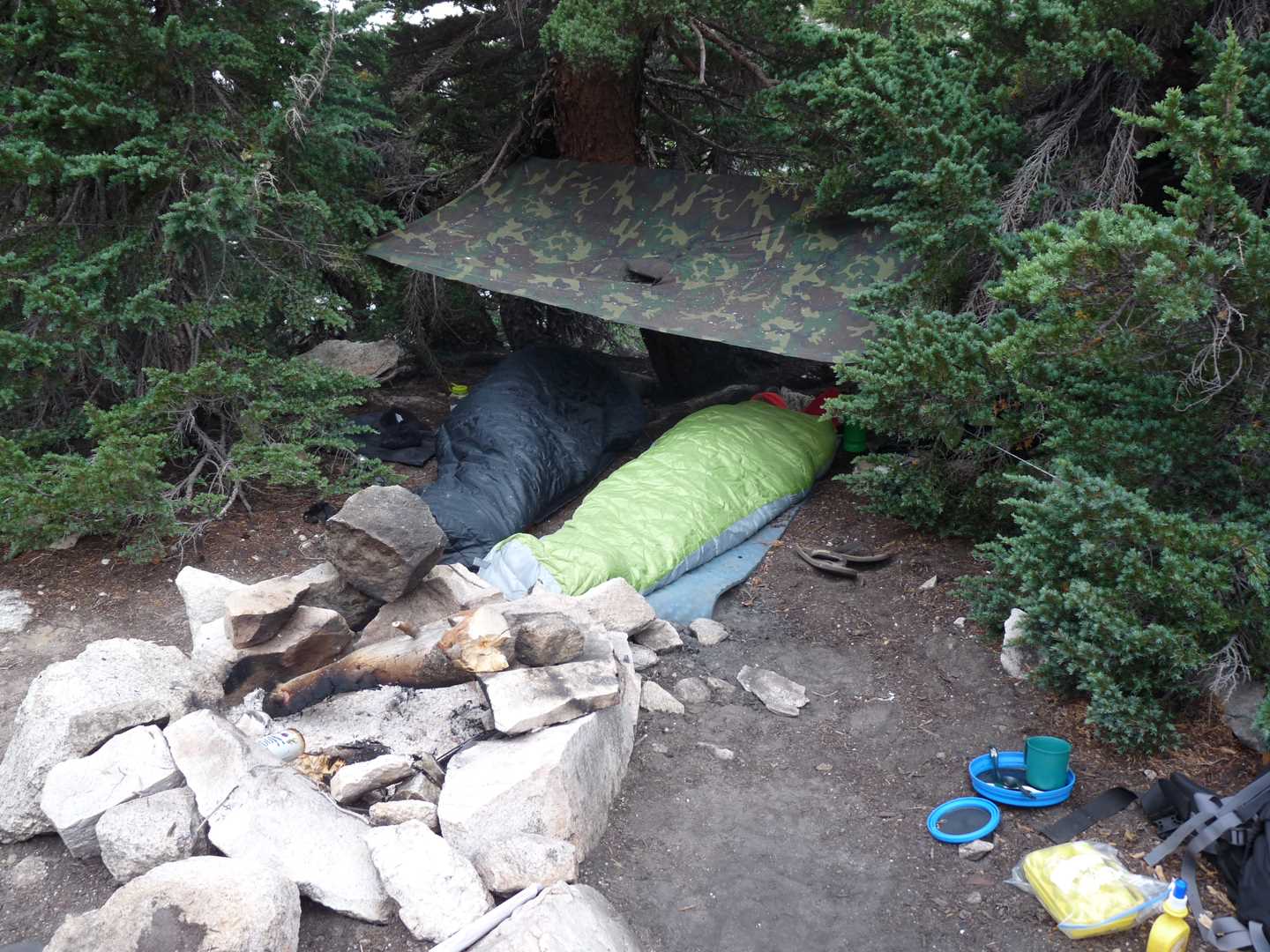
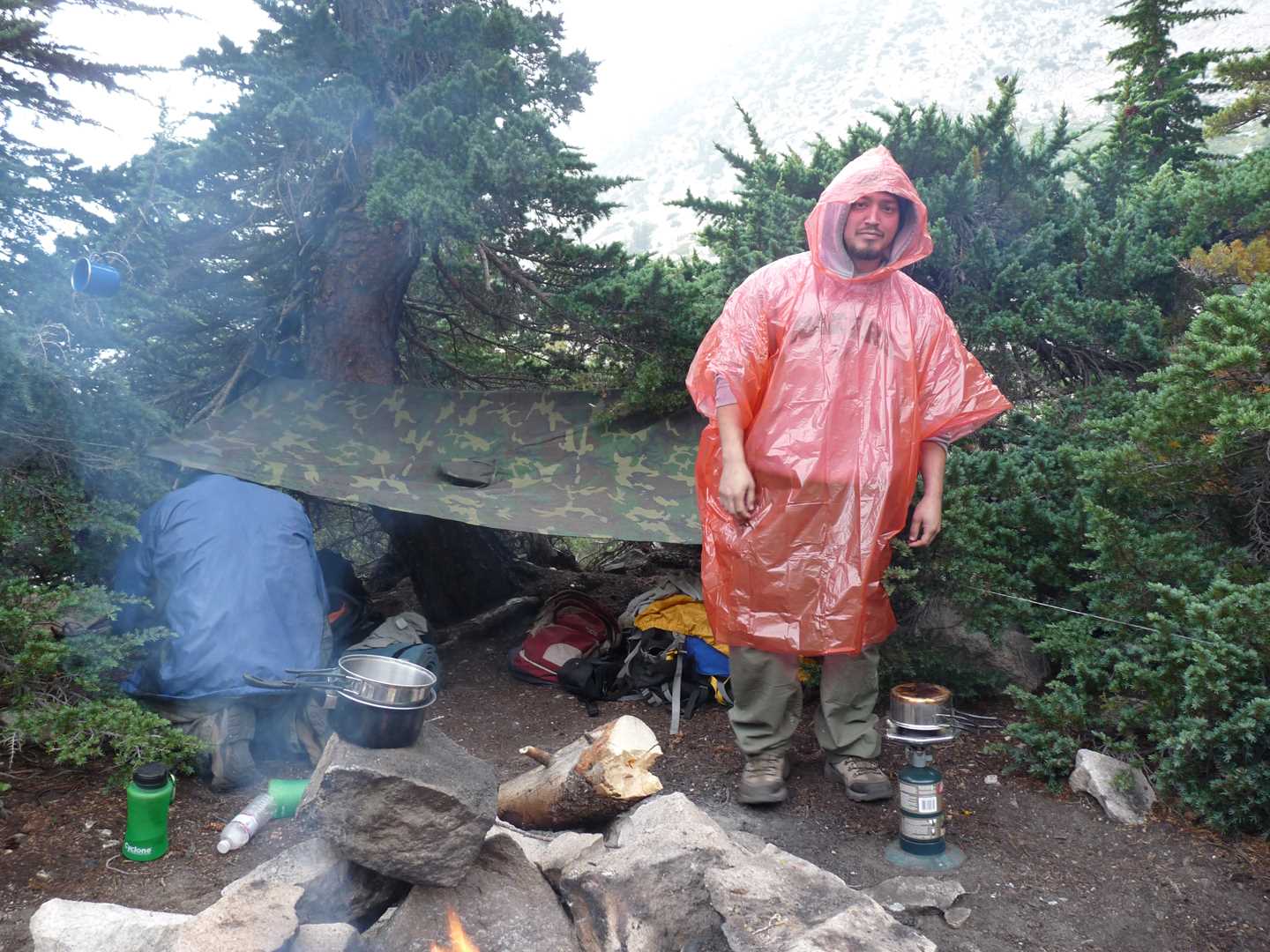
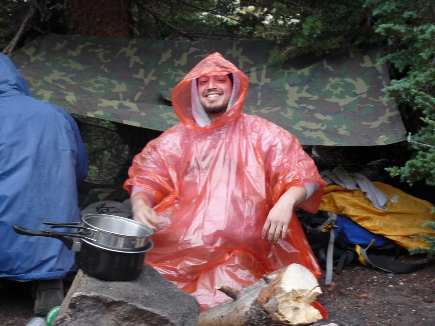
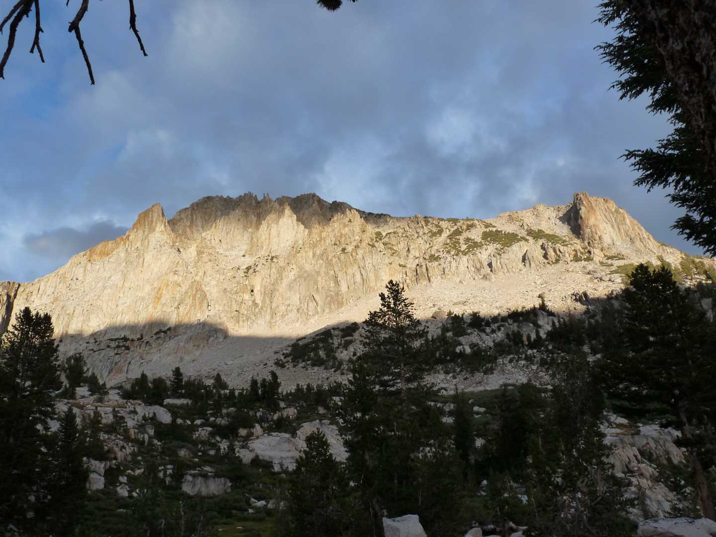
I have one word for day three… wet. It had rained on us all night long and let up shortly in the morning to let us make a fire and eat some food. For the rest of the day, we were held up in camp… wet…. and bored. Day three is the day we climb a peak, but no peak were visible so we decided to stay at camp and wait out the storm. Around 3:00 pm the rain finally quit and the sun came out. Just enough time to let us dry out and get some food
Day 4 – Hike out
The last day is always hard. Even when it has been raining most of the trip, you forget that you can leave everything behind and really enjoy yourself and friends. We had gotten up early this morning to take down camp. The sky was clear and there was ice in the meadow and all over Chris’s sleeping bag. After everything was packed up, we headed out to catch the 9:45 am ferry.
This is a 360 degree panorama image. Just click on the image and drag your mouse. Shift and Ctrl to zoom in and out.