Hell for Sure 2007
Wilderness: John Muir Wilderness
Latitude: 37.1391
Longitude: -118.7998
Elevation: 10,768 feet
Day 1 – Hike in
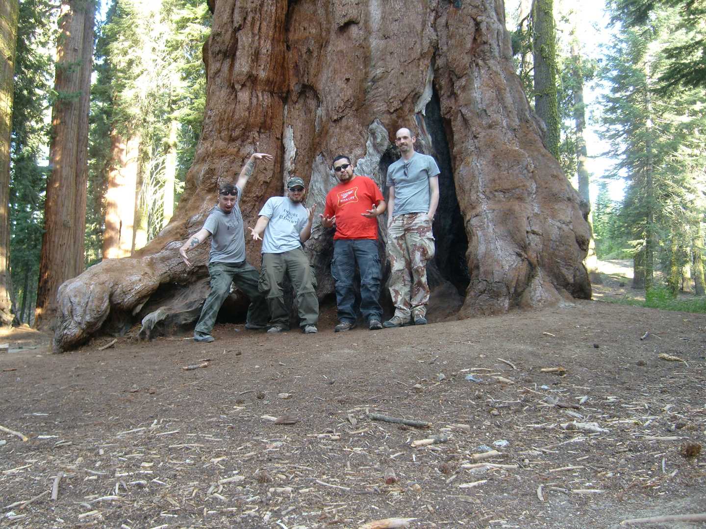
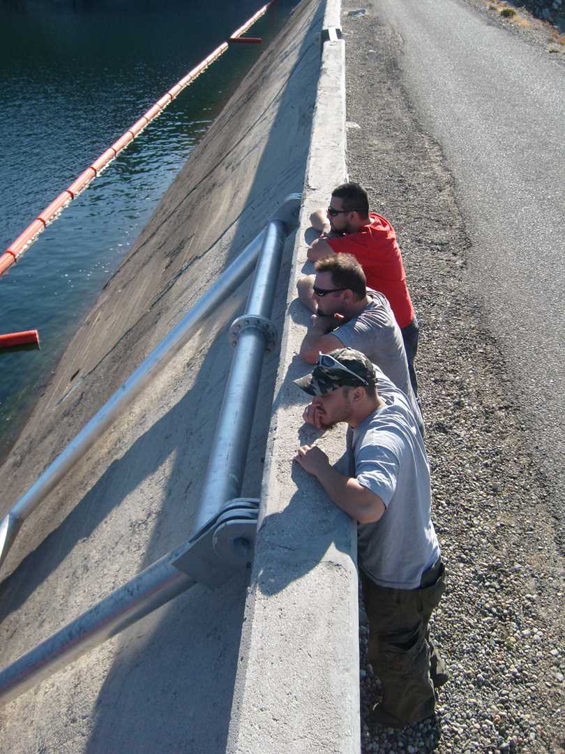
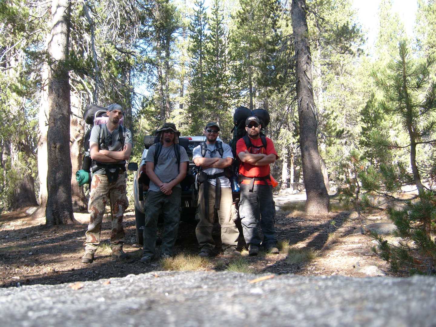
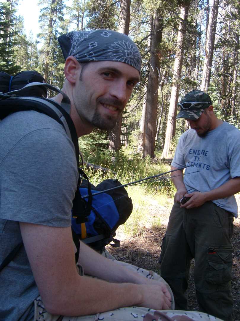
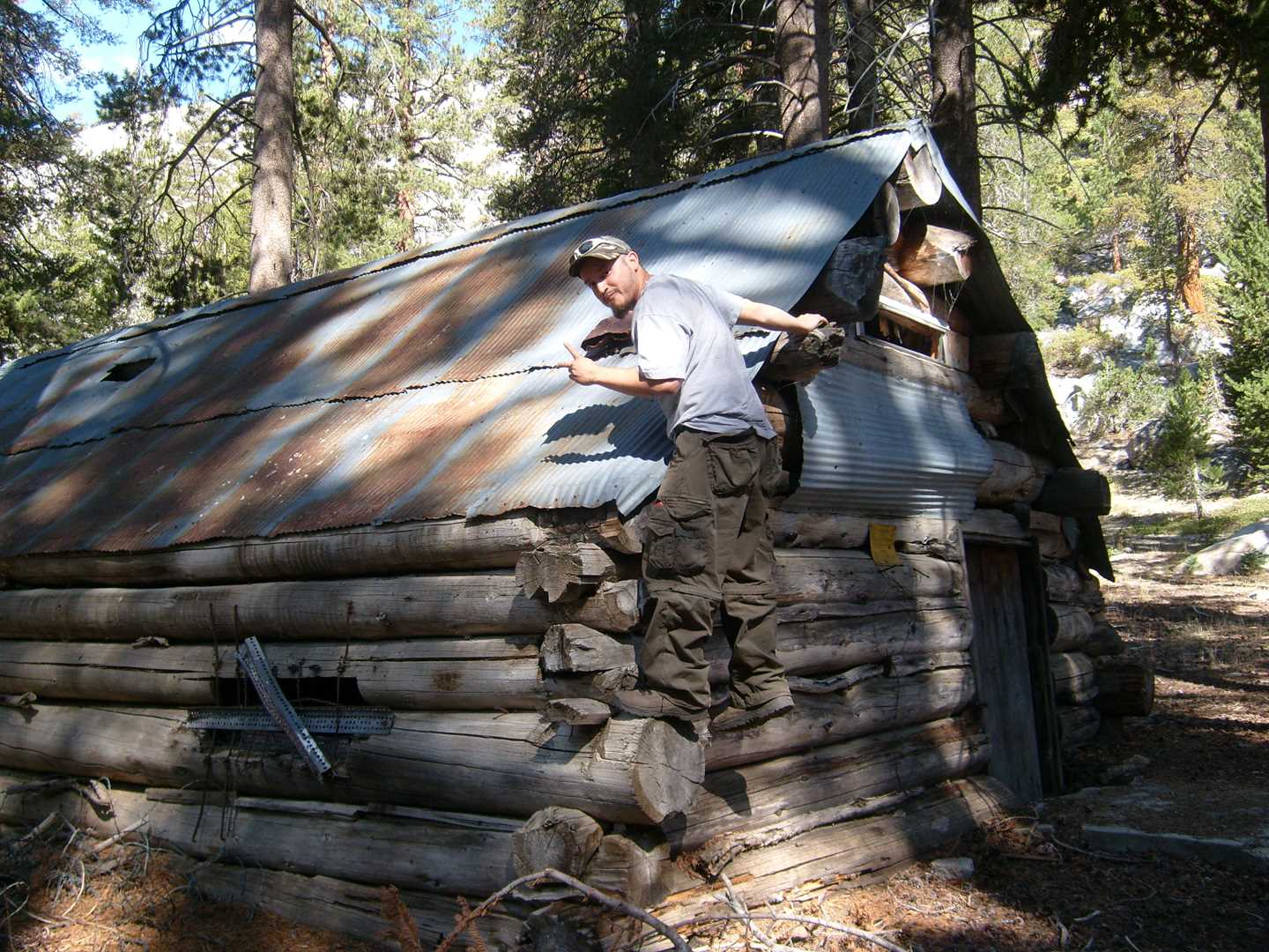
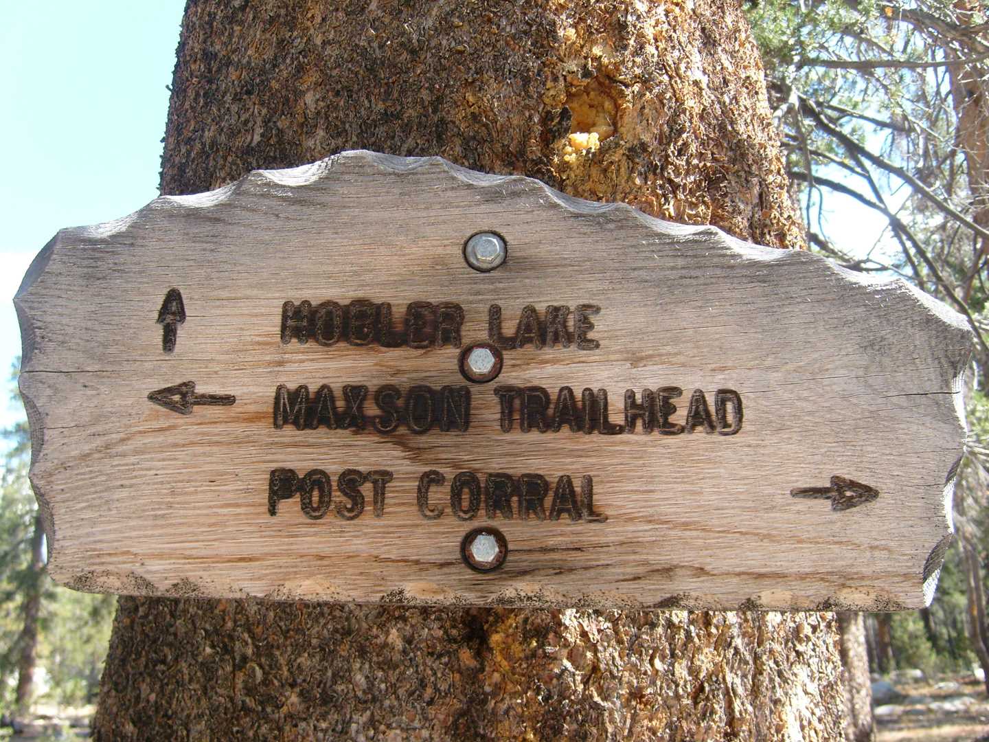
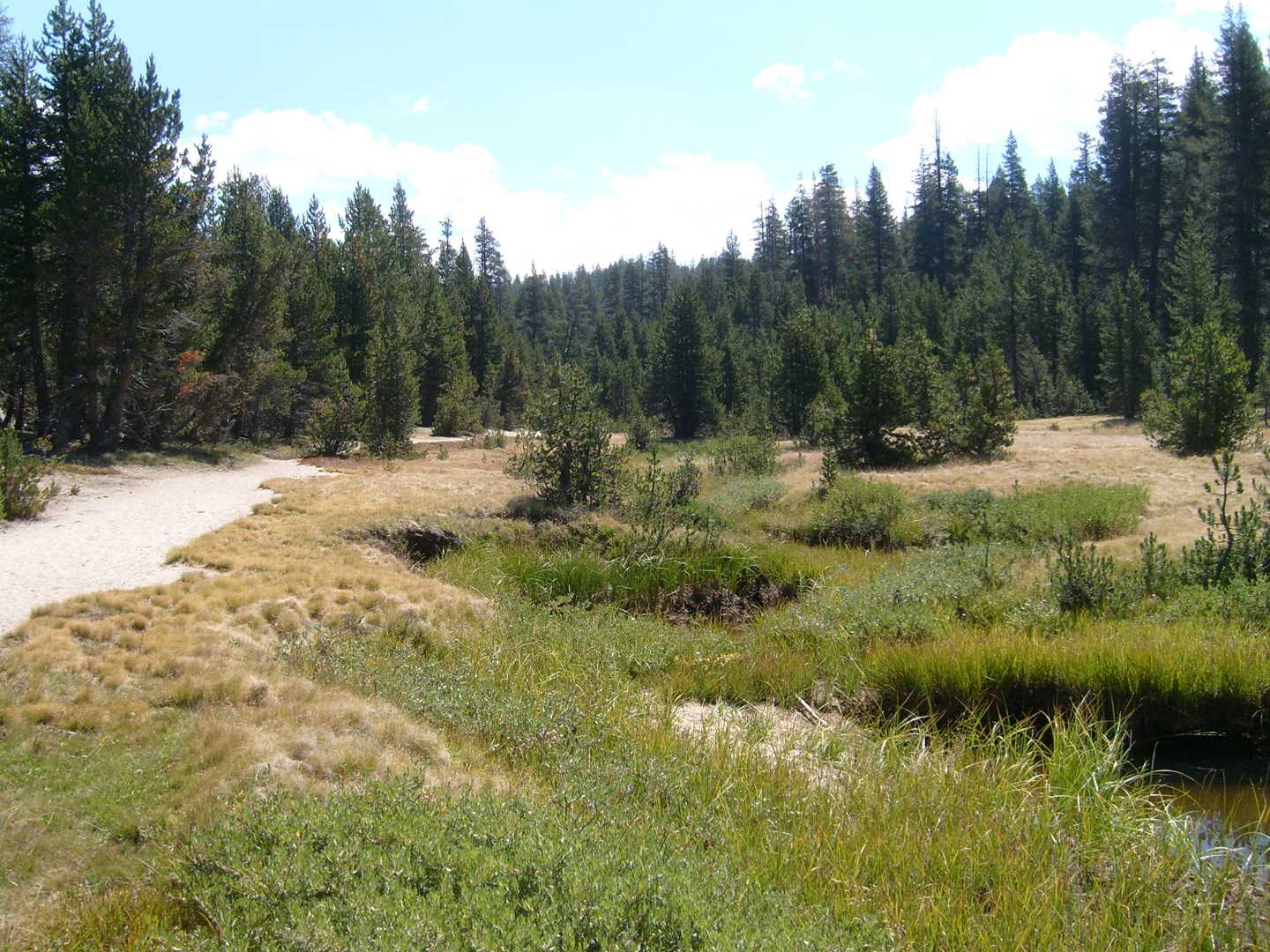
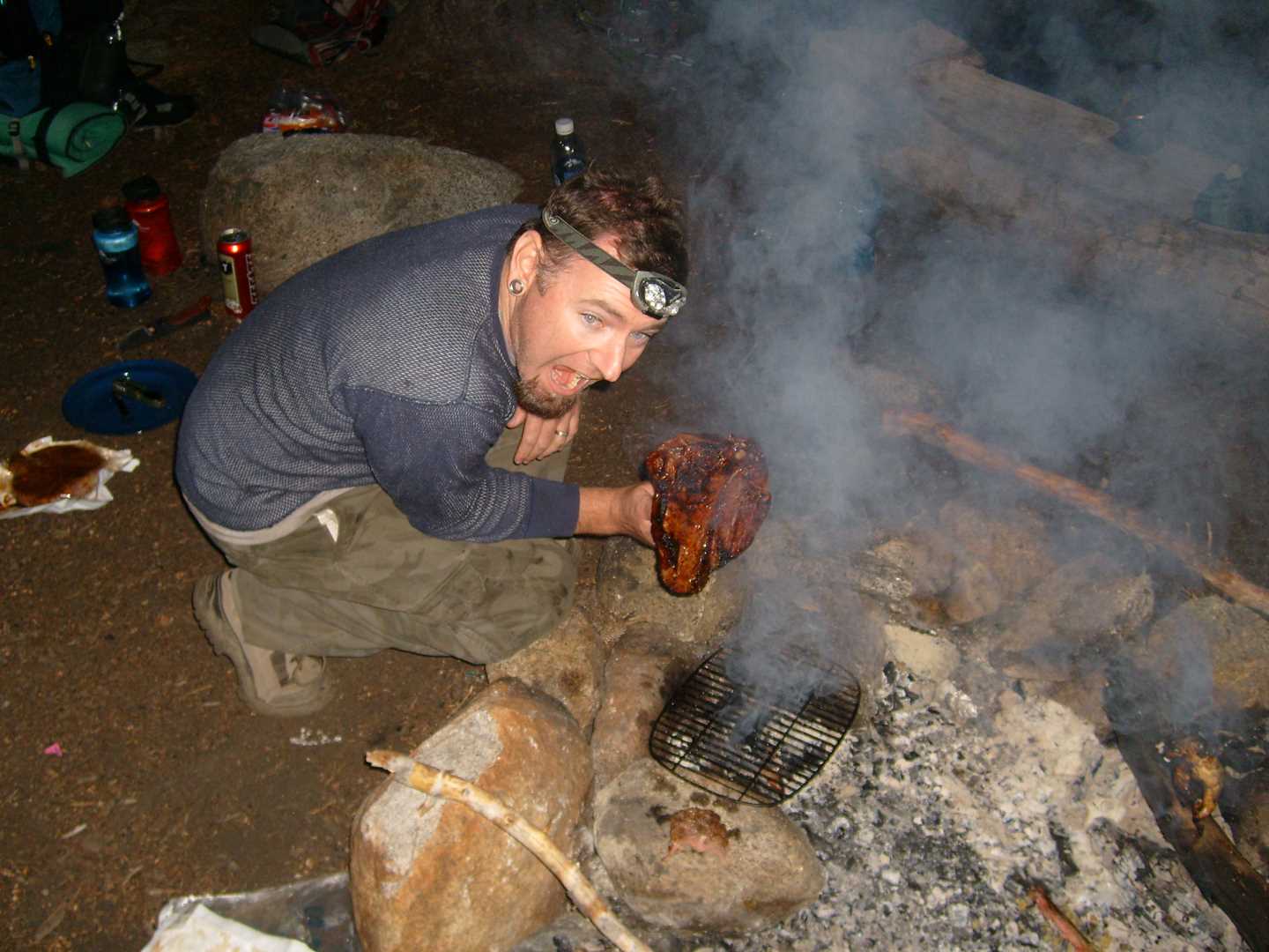
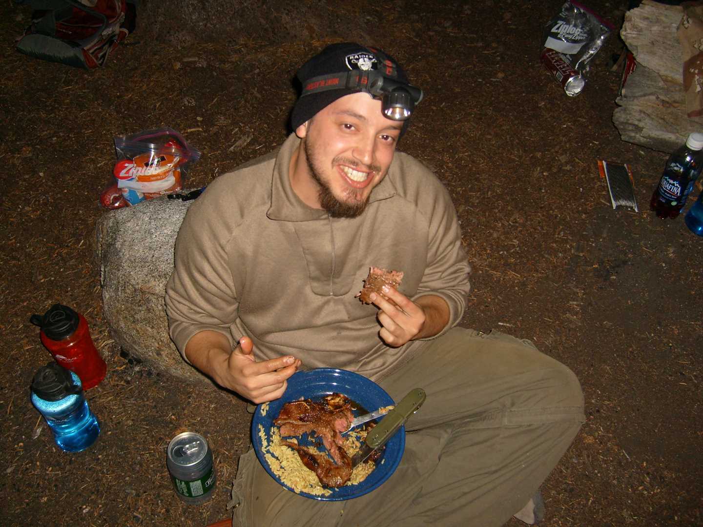
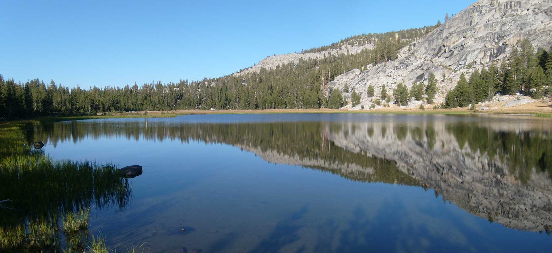
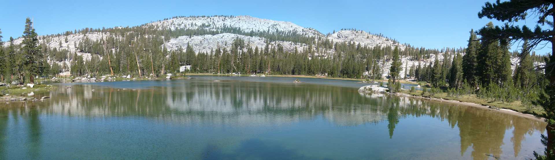
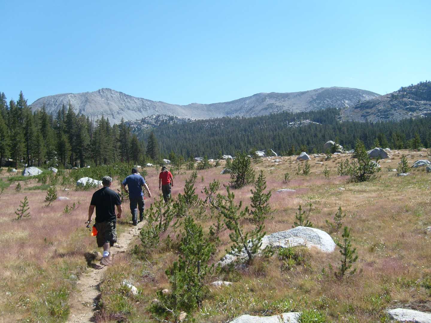
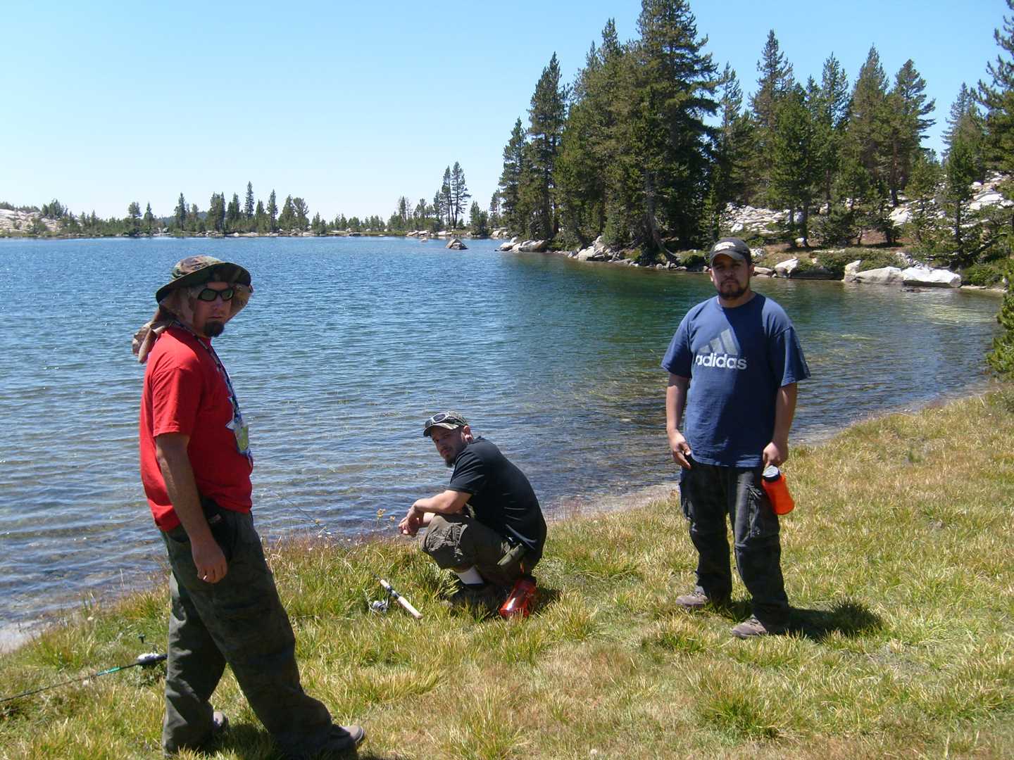
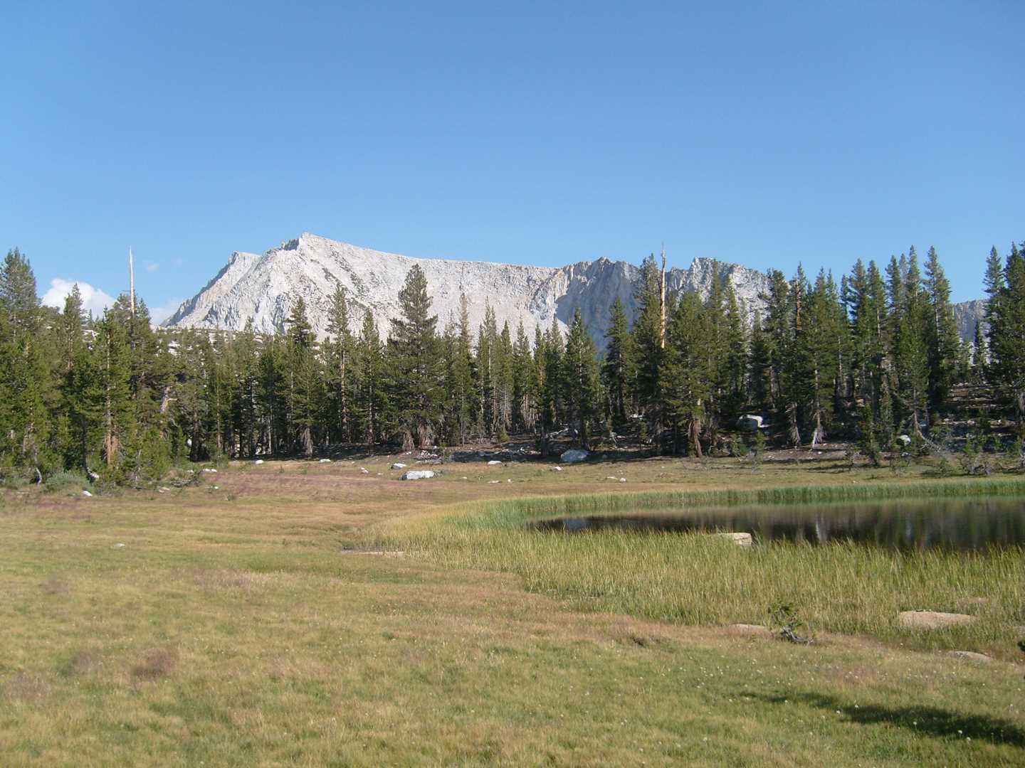
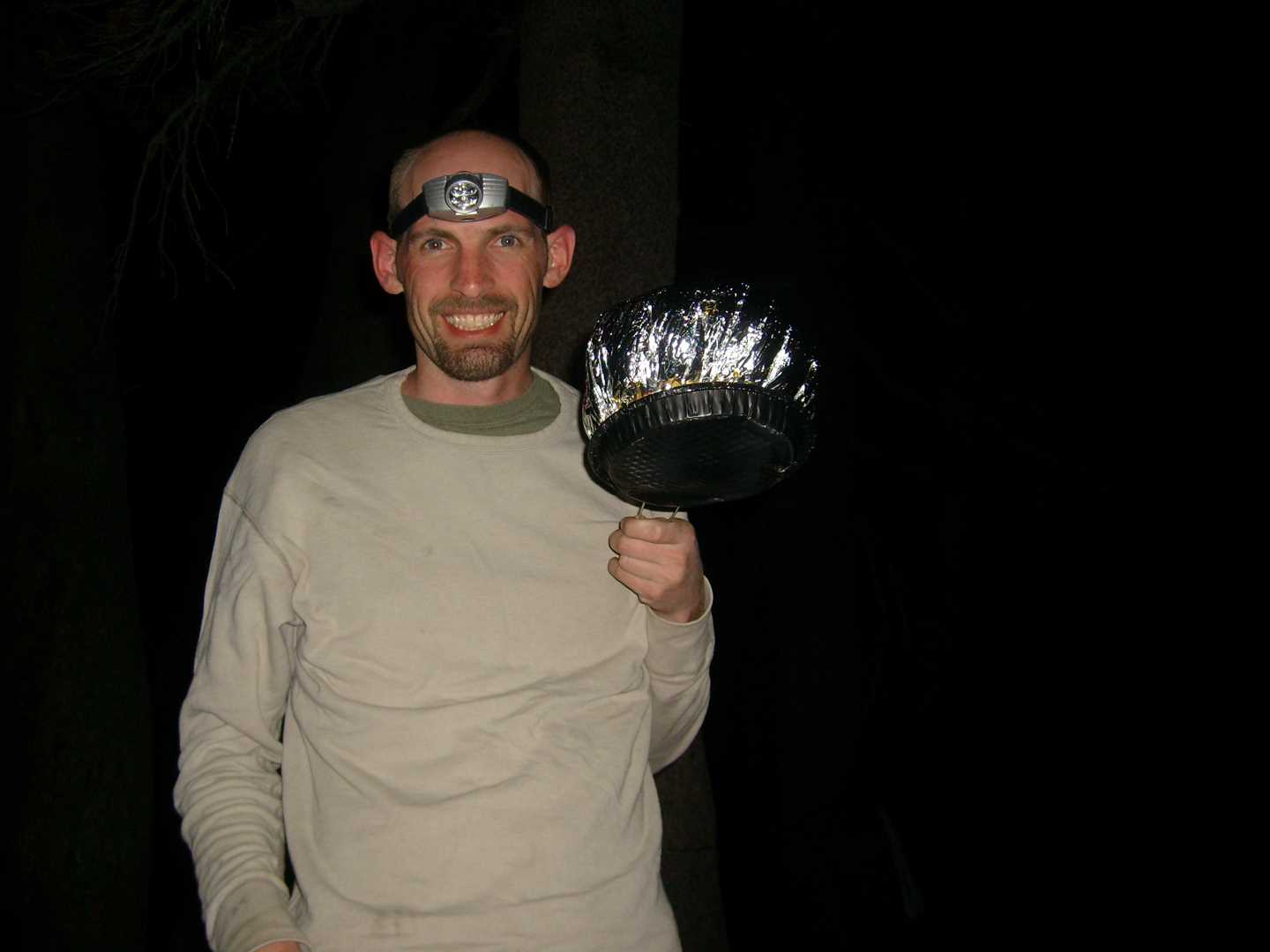
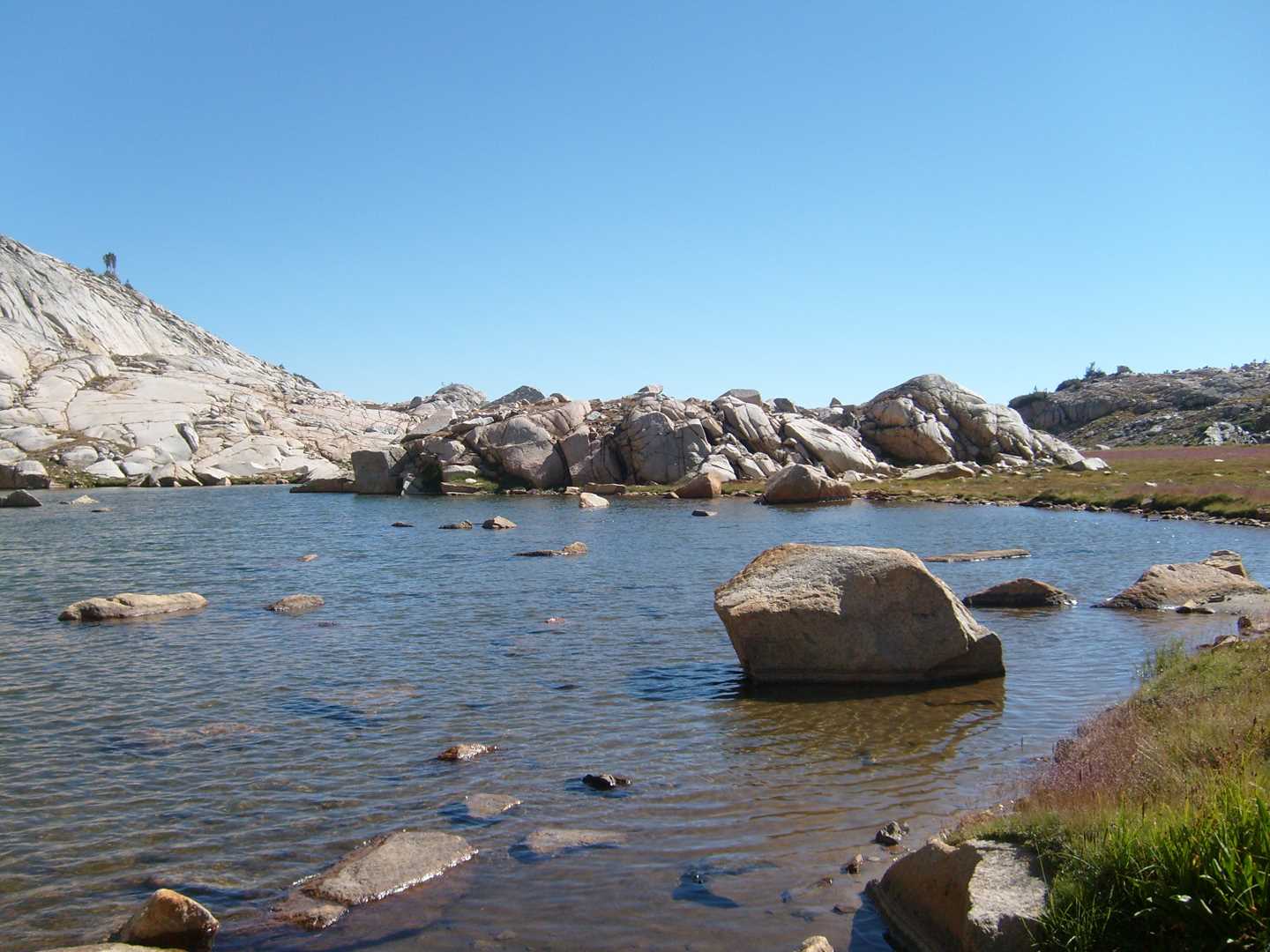
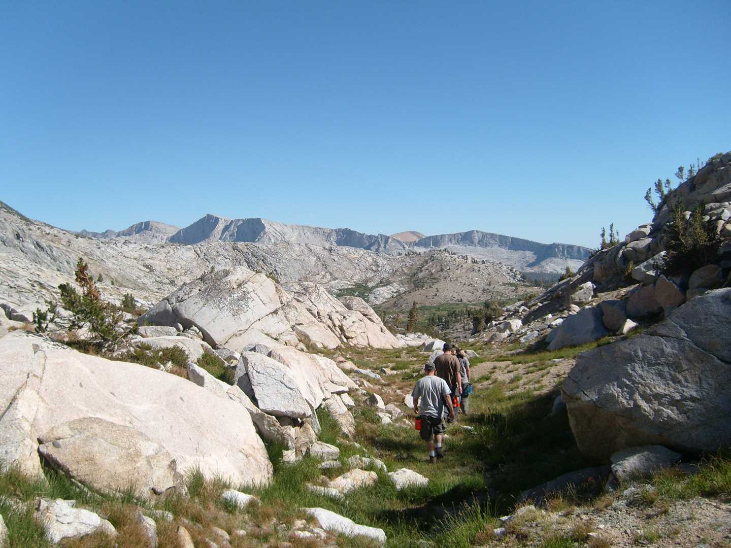
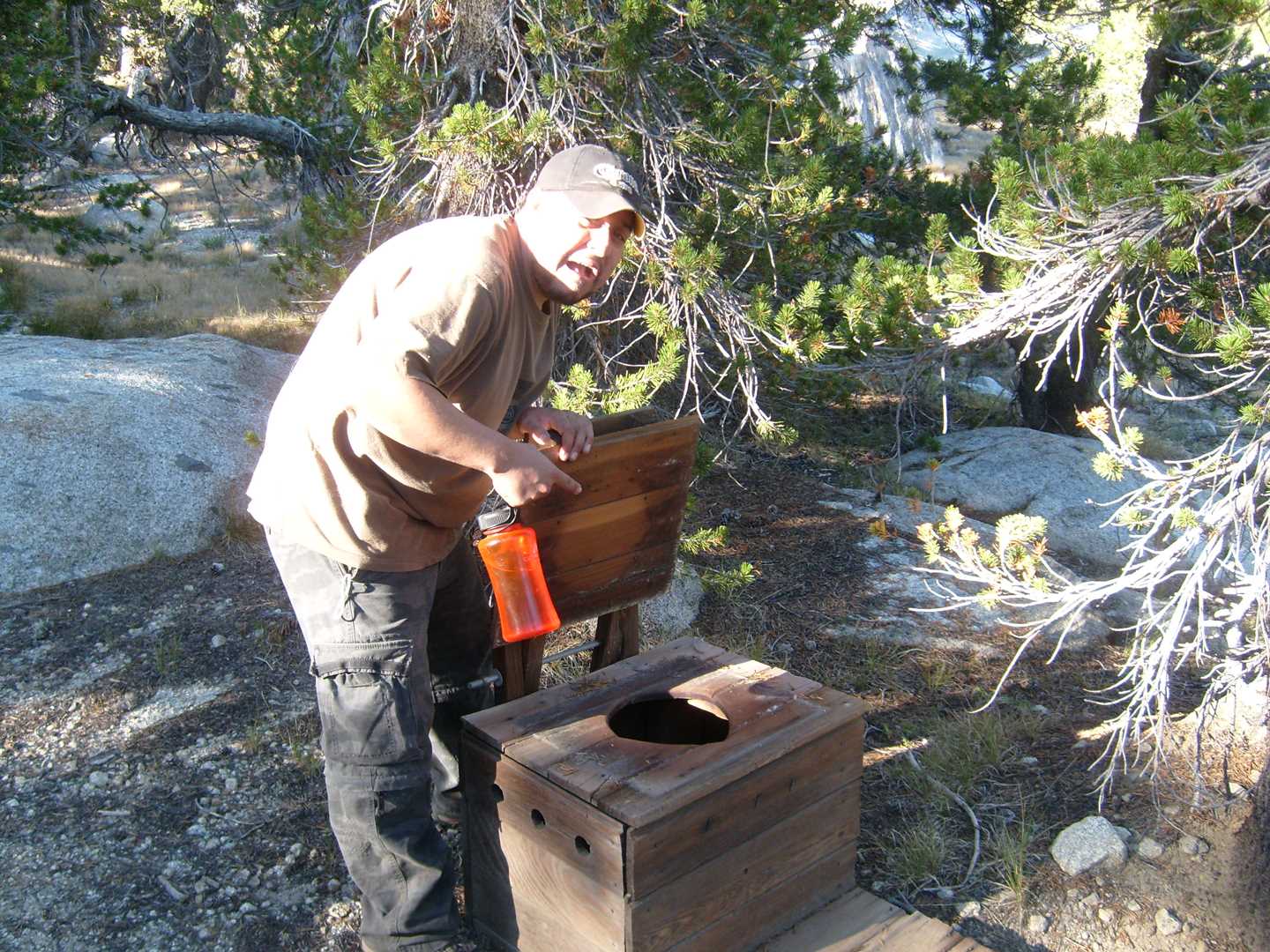
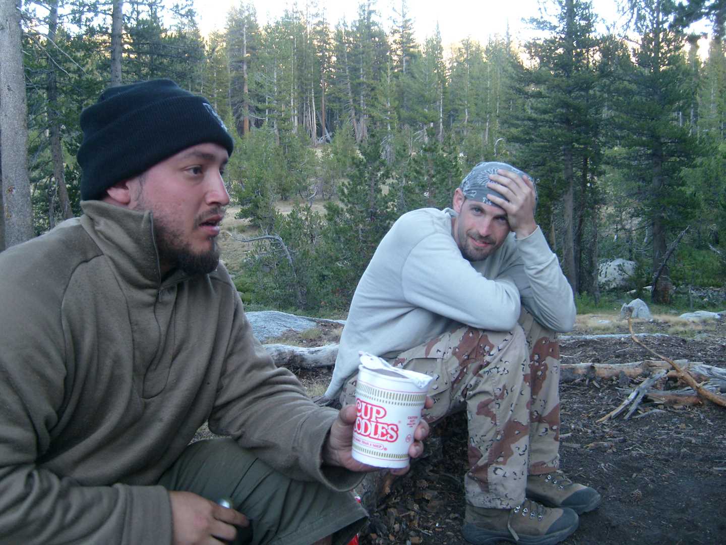
We start our trip at the back end of Courtright Lake which can be reached by a 4×4 trail named Dusy-Ershim. The actual hiking trail starts off of the road and then up the hill to our first break spot called Chamberlains Camp. This is an old Forest Service cabin and begin the boundary into wilderness territory. After taking a quick break, We head up the trail 3.1 miles until we reach the Hobler Lake junction. We head north-east towards Post Corral Meadow and then another 2.0 miles and then east at the next junction which takes you through Post Corral meadow. After traveling 2.4 miles through the meadow, we then head north at the Fleming Lake junction and travel finally another 5.2 miles to end at our Base camp at Fleming Lake. Fleming Lake will be the base camp for the remainder of the trip. The camp spot we are located at has a creek on one side and the lake on the other. The fishing is good with an average size of 10-12 inches; mostly brook trout. The first day ends with a few shots of whiskey and a steak and potatoes.
Day 2 – Finish the lakes
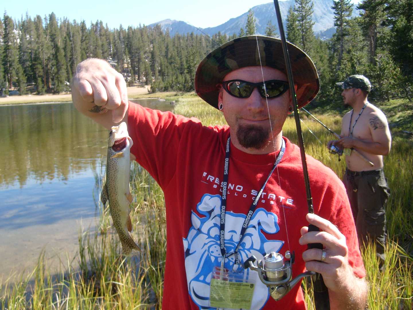
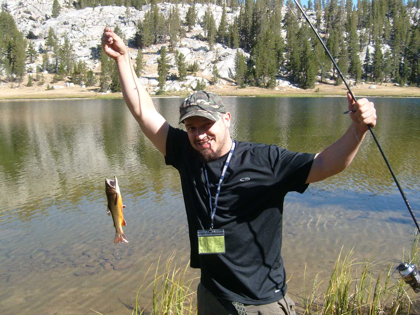
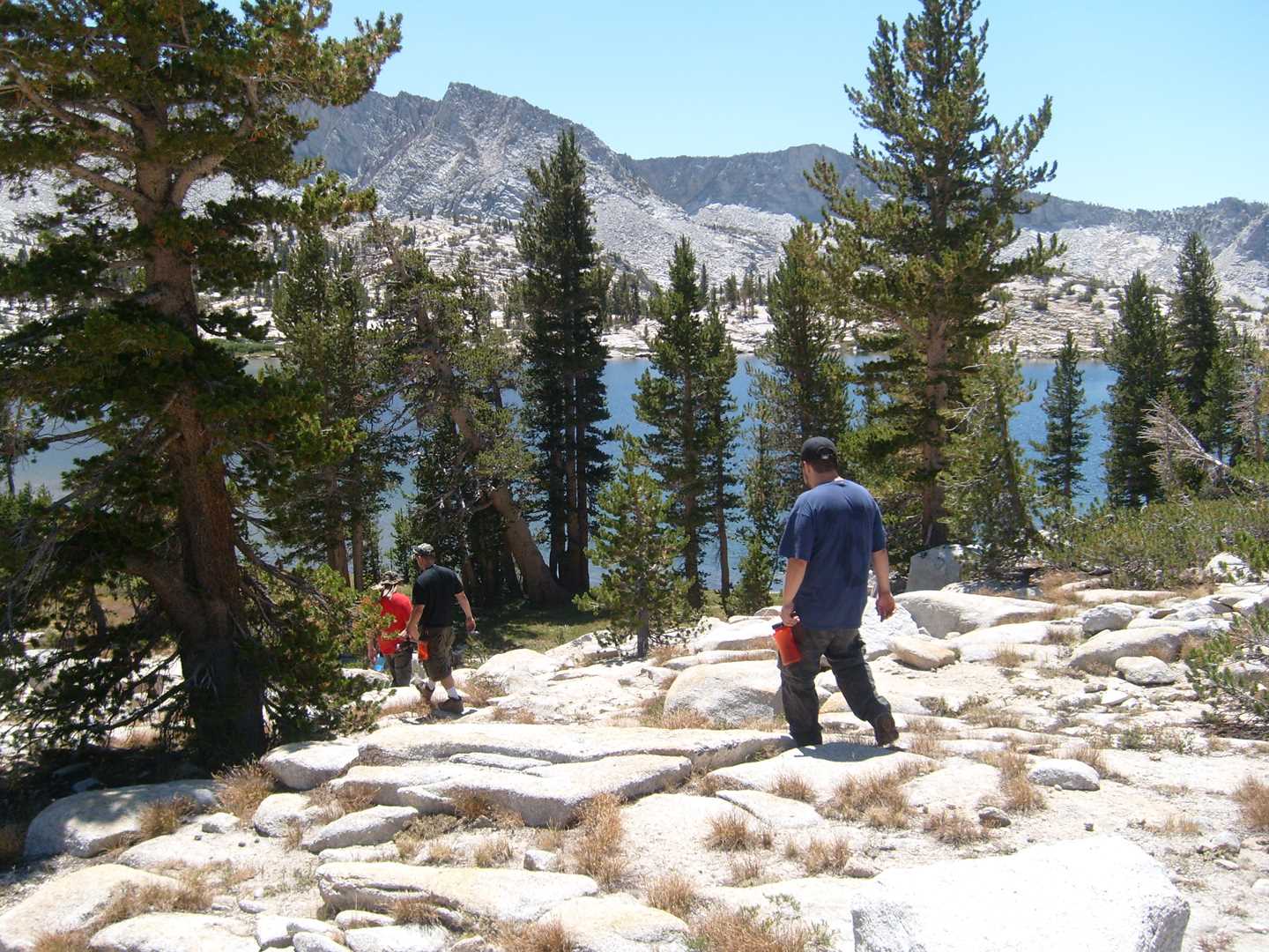
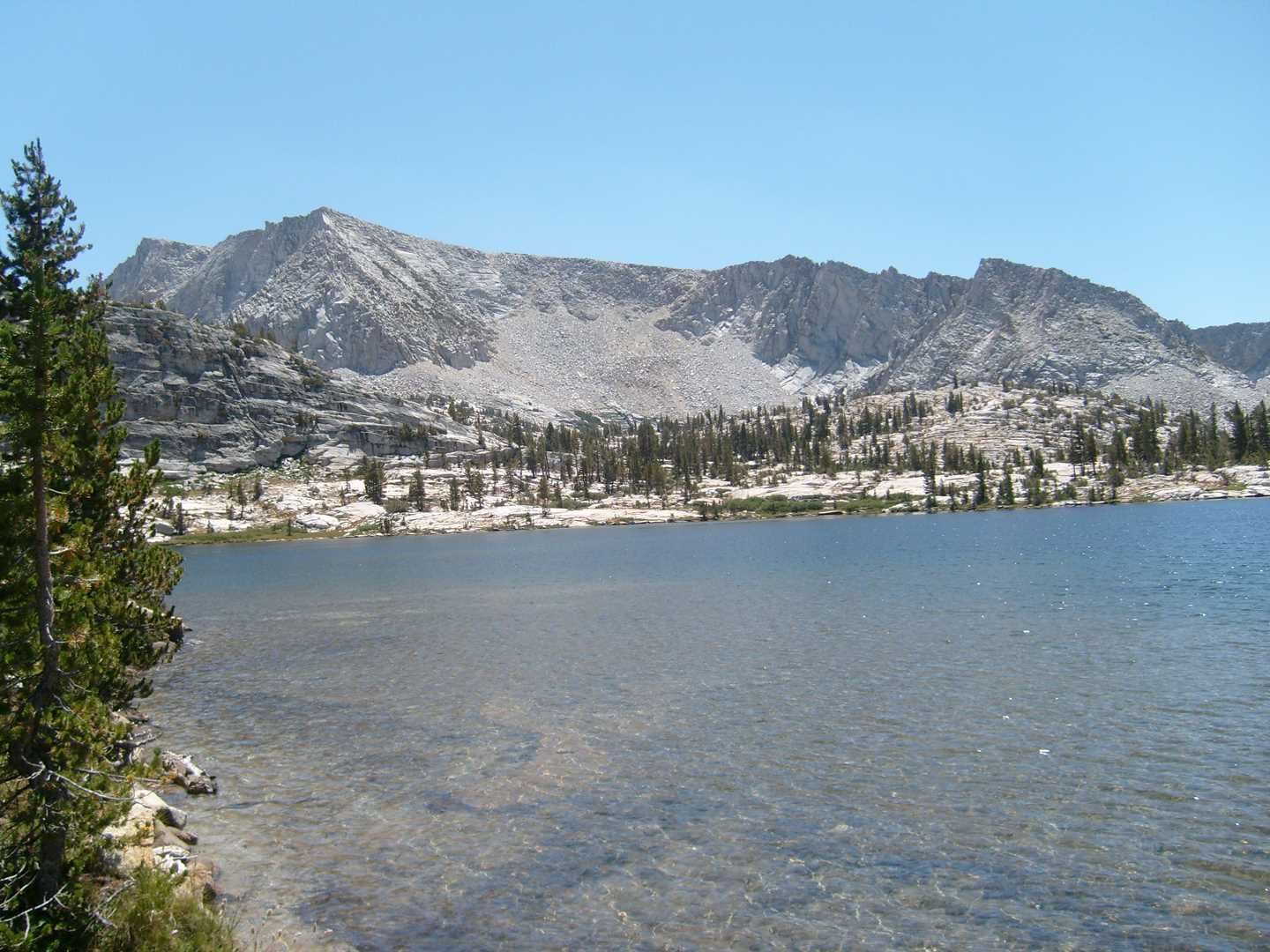
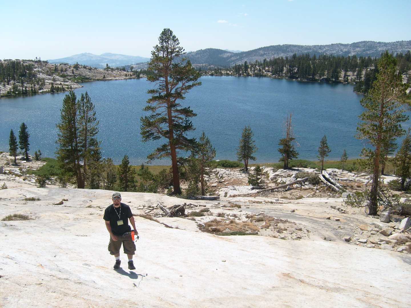
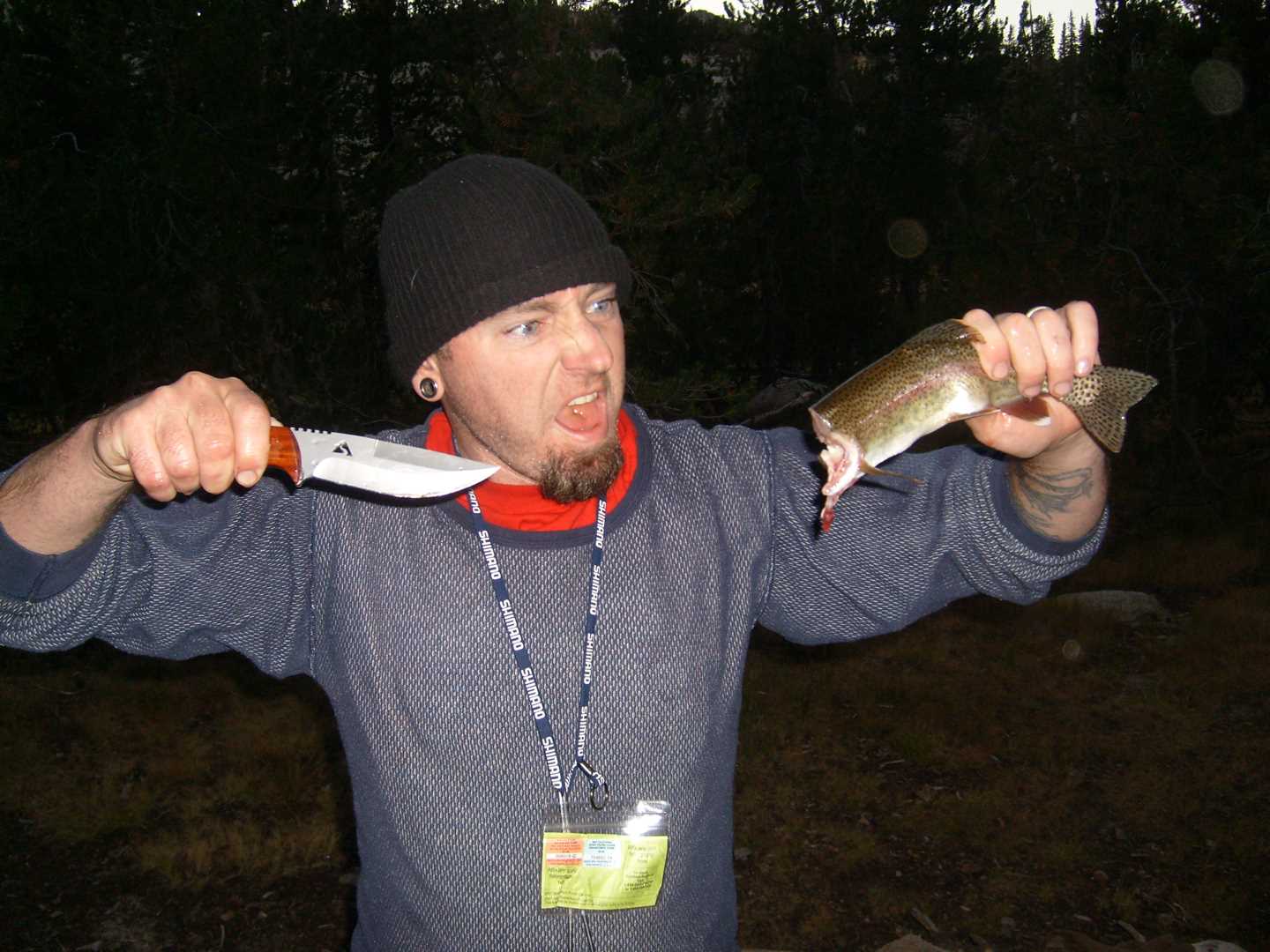
Day two is fishing day. The guys managed to fish Disappointment Lake and Hell for Sure Lake both with success. That night we had trout for dinner.
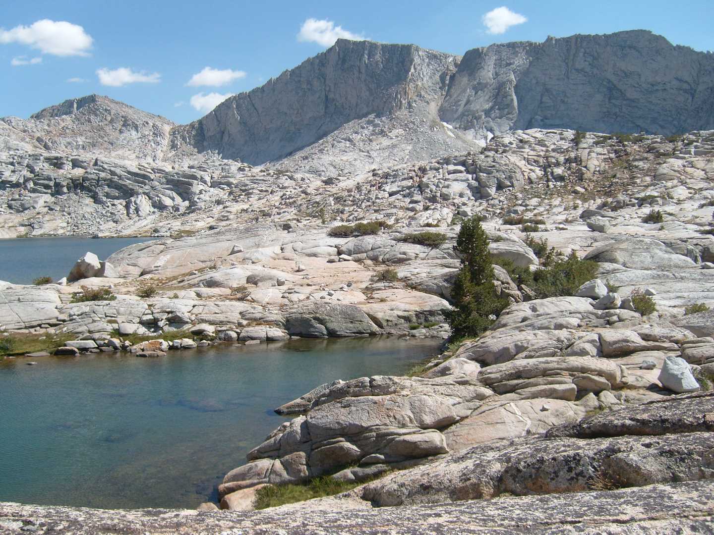
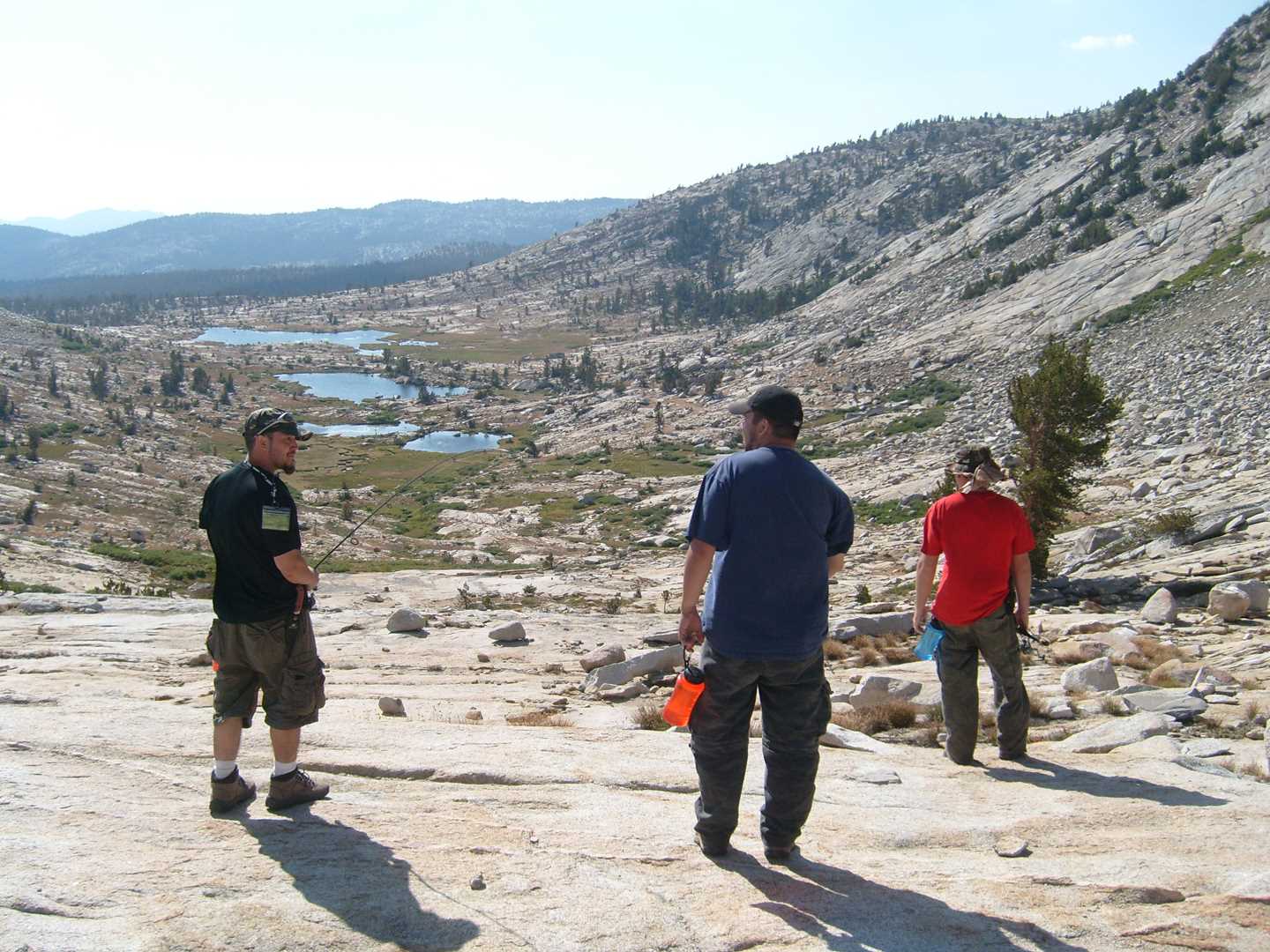
Day 3 – Climb the peak
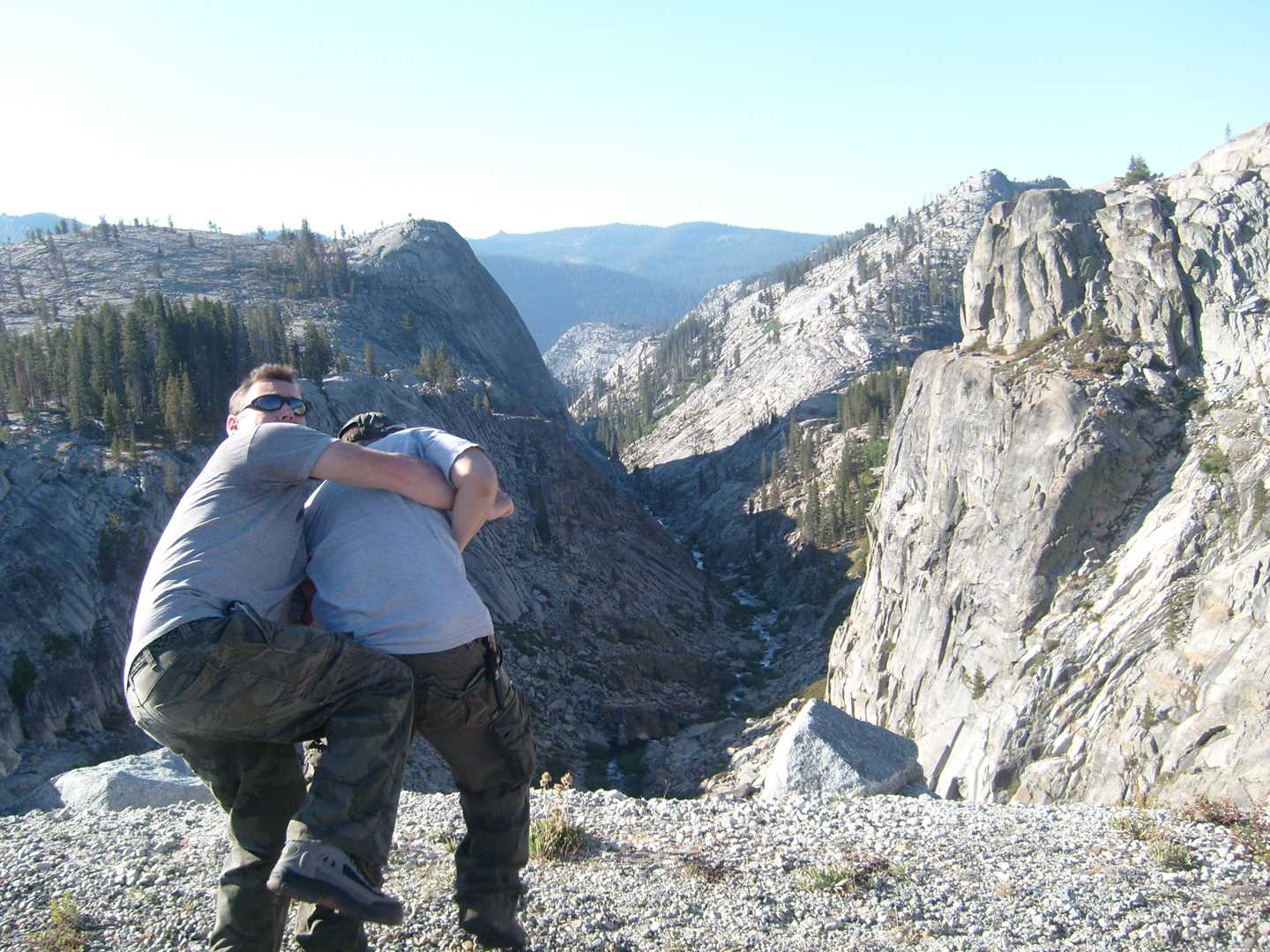
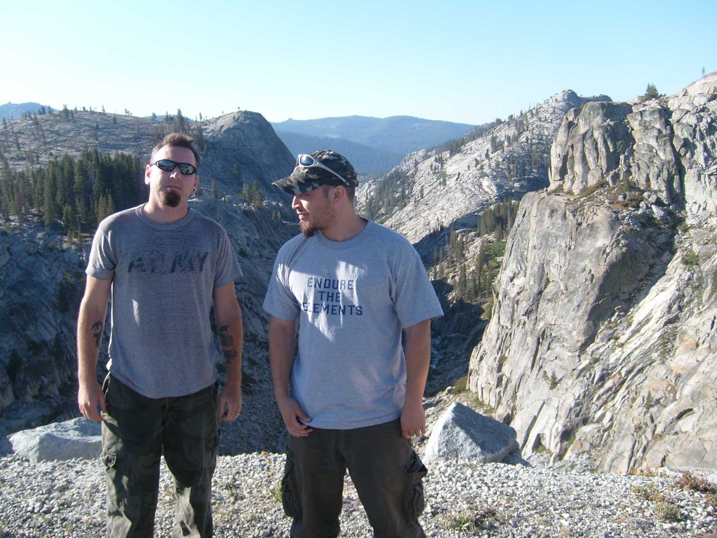
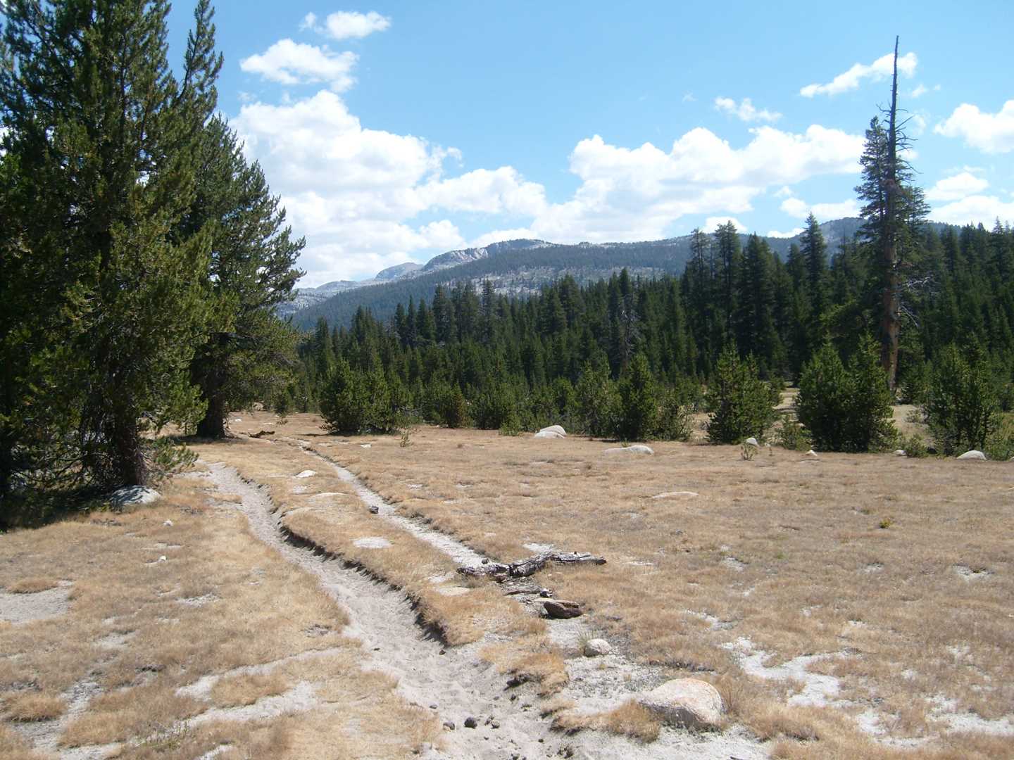
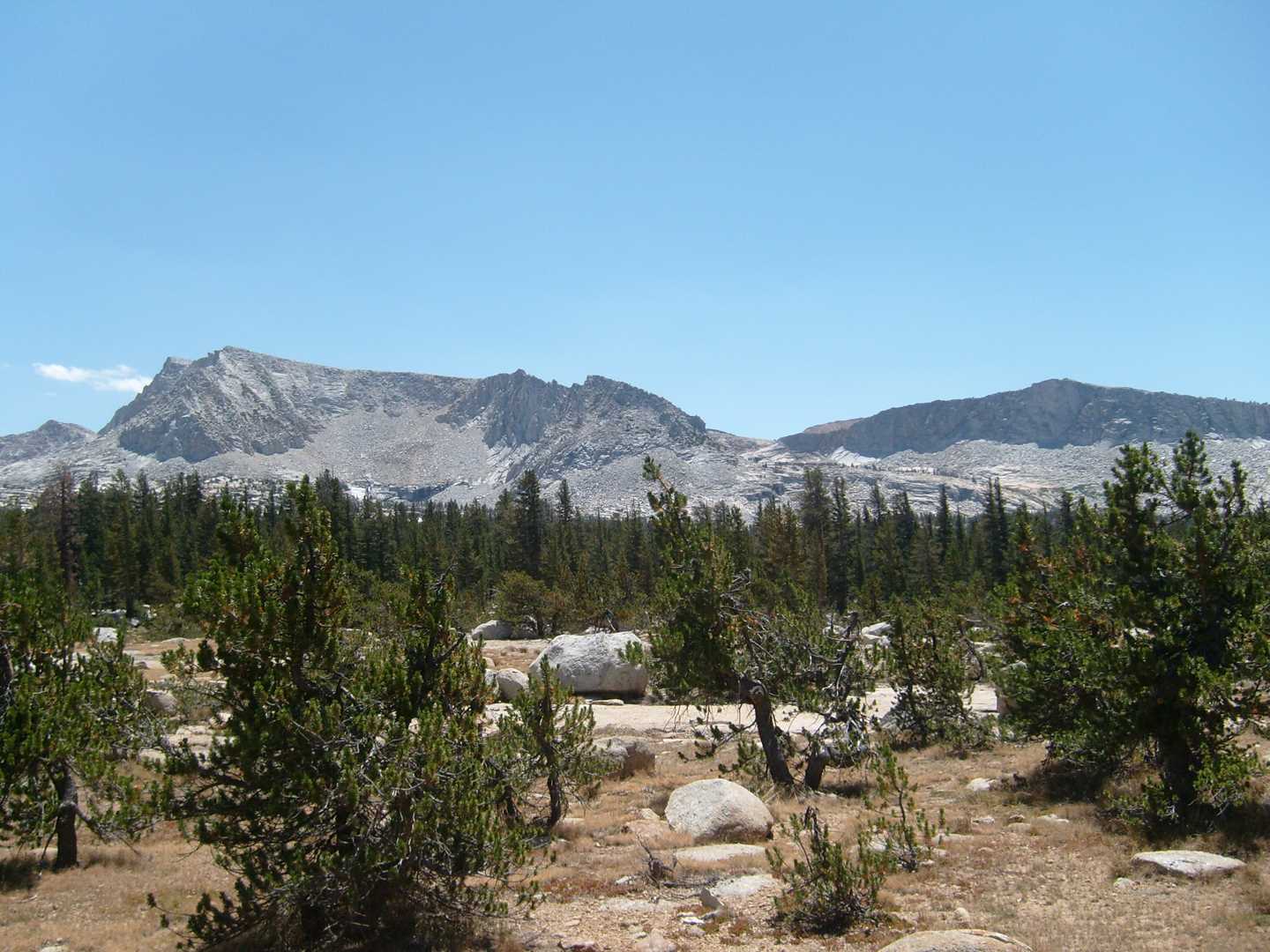
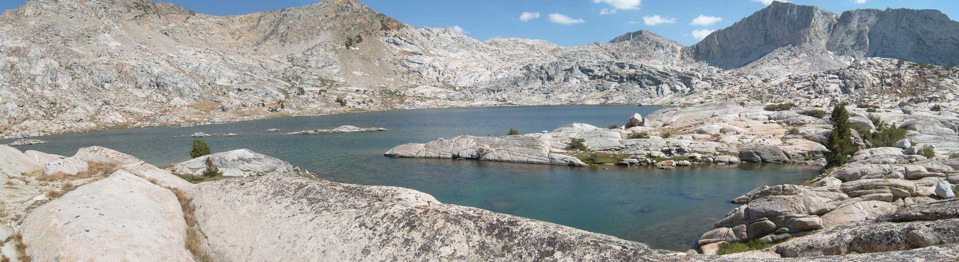
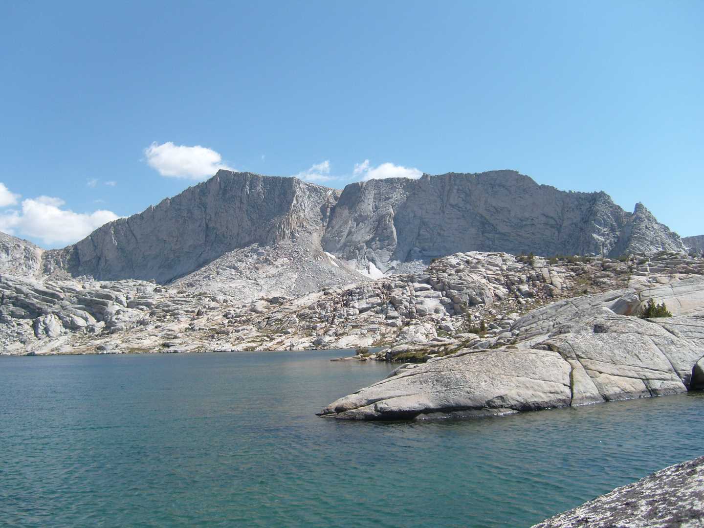
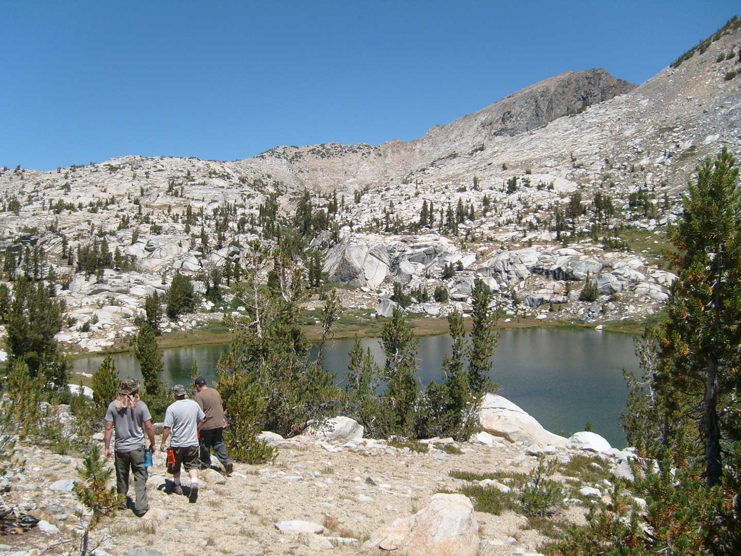
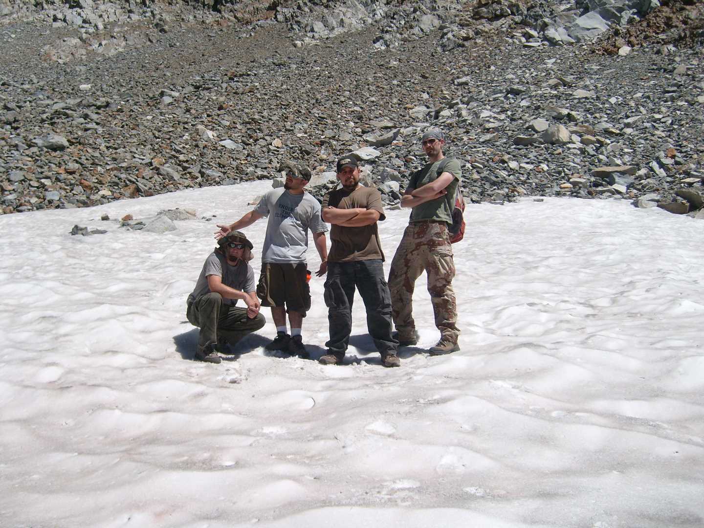
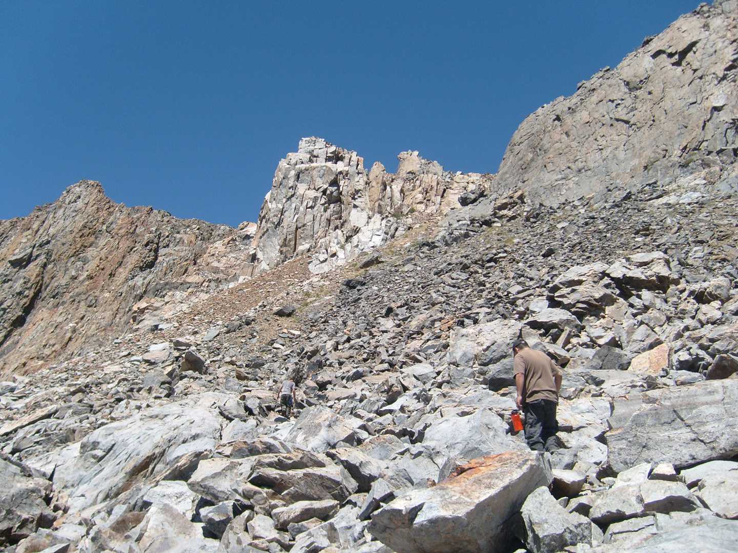
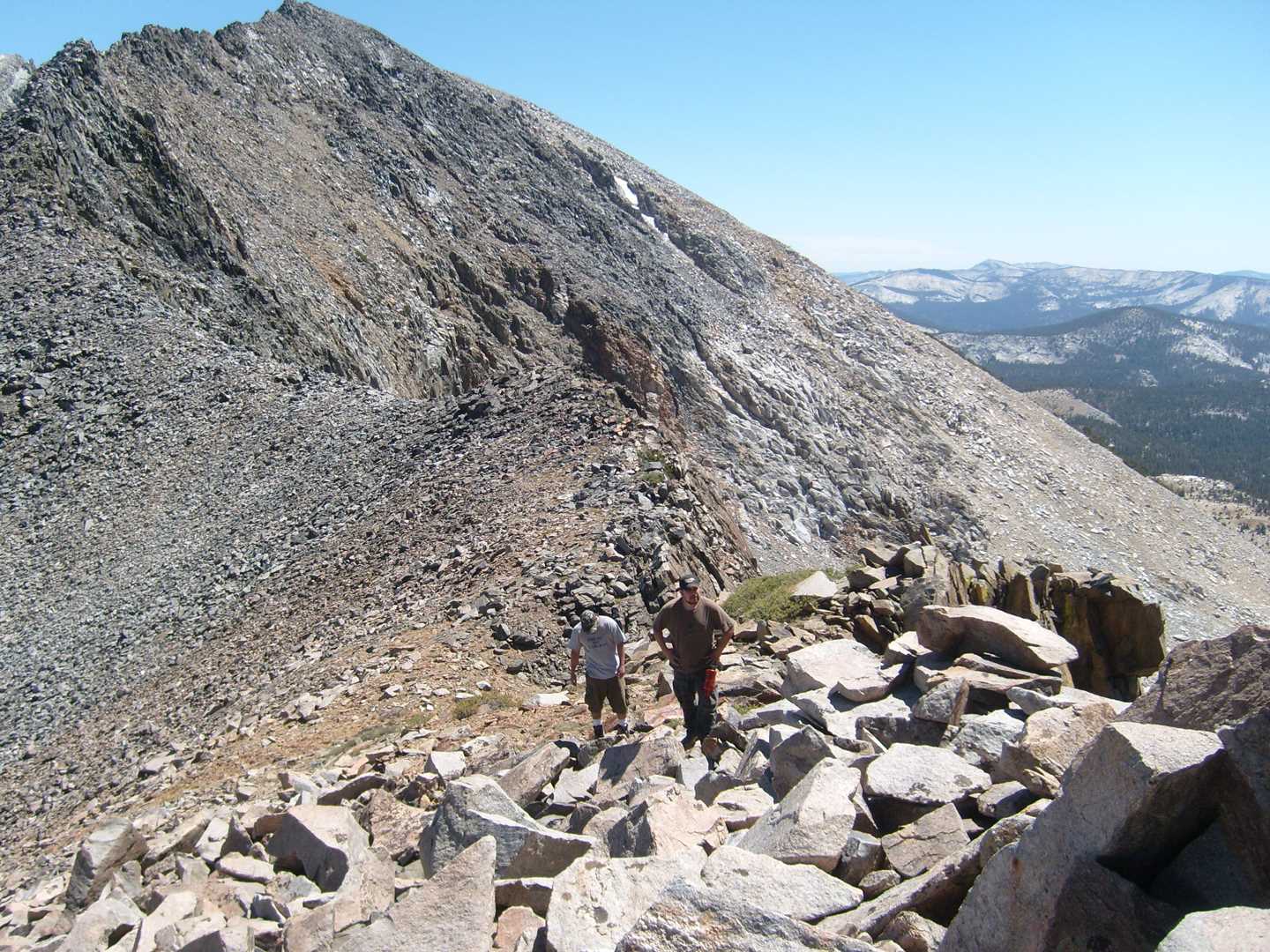
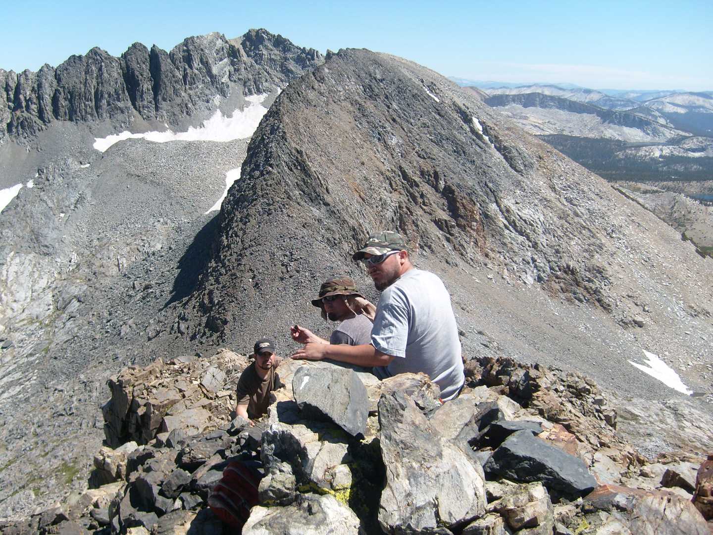
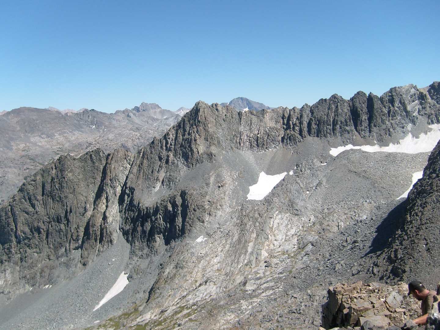
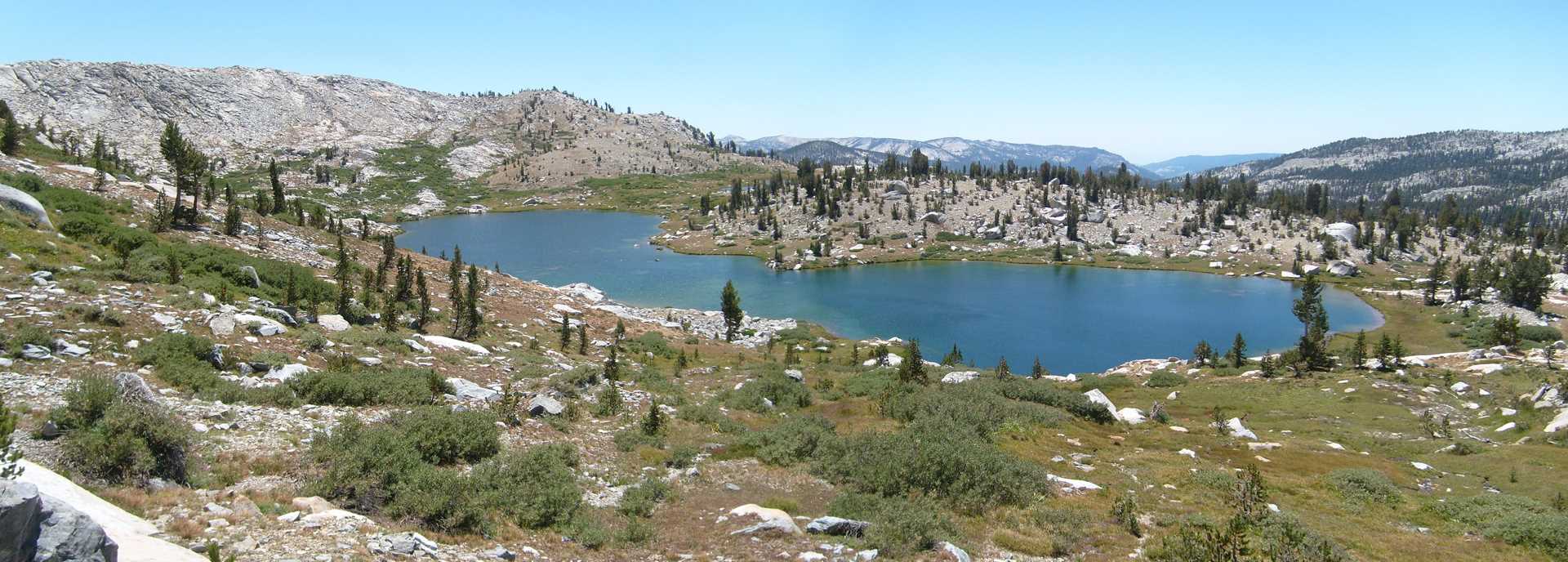
On day three, we decided to climb a section the LeConte Divide north-west of Red mountain. Below this section is Davis Lake which was the gateway to our climb. After hanging out at the top for awhile, we ventured down the far side of the mountain to Lower Indian Lake and then Rae Lake. Tonight we finish off the whiskey and prepare to head home the next morning.
Day 4 – Hike out
The last day is always hard. It was a good trip with lots to see. This is some of our favorite hiking grounds and hopefully we can make a third visit again in the future.