Evolution Valley 2010
Google Earth KMZ – Evolution Valley
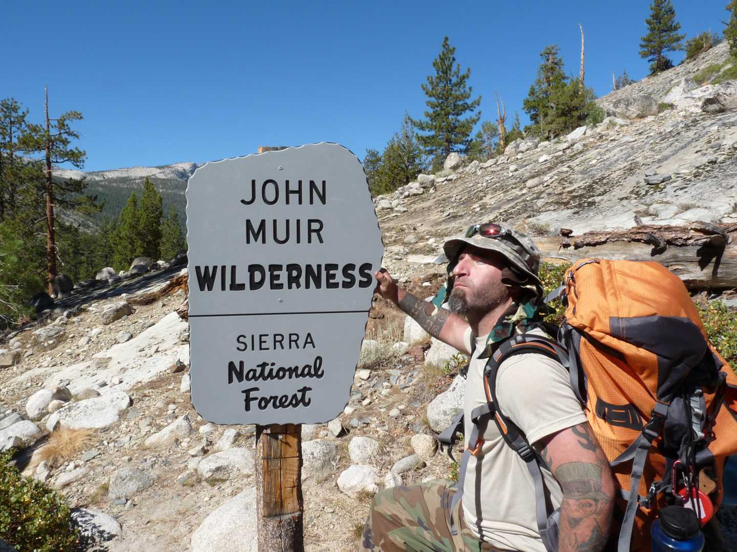
Wilderness: John Muir Wilderness
Park: Kings Canyon National Park
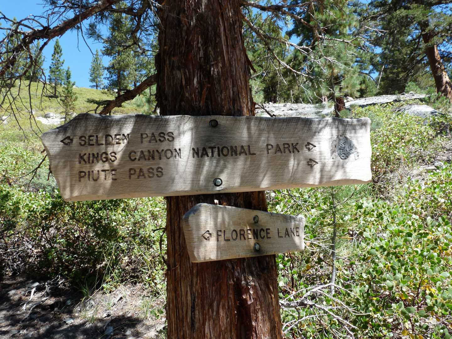
Trail System: Florence Lake Trail & JMT/PCT
Latitude: 37.1119
Longitude: 118.4506
Elevation: 9,545 feet
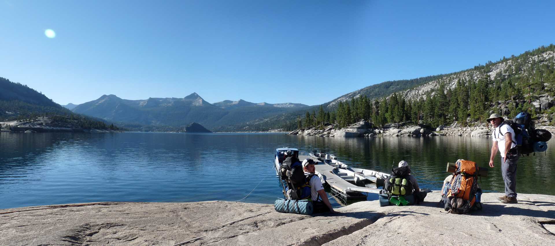
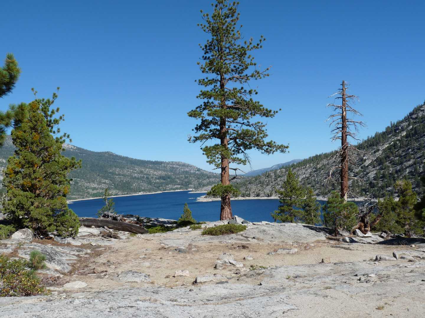
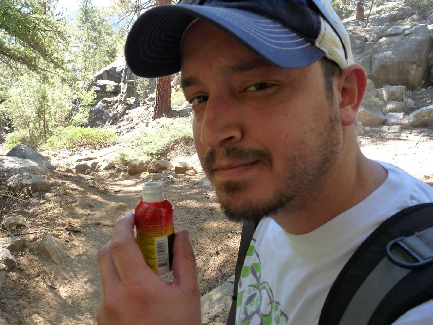
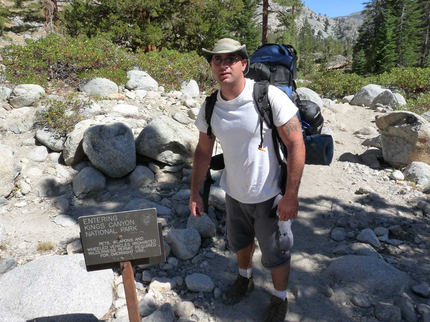
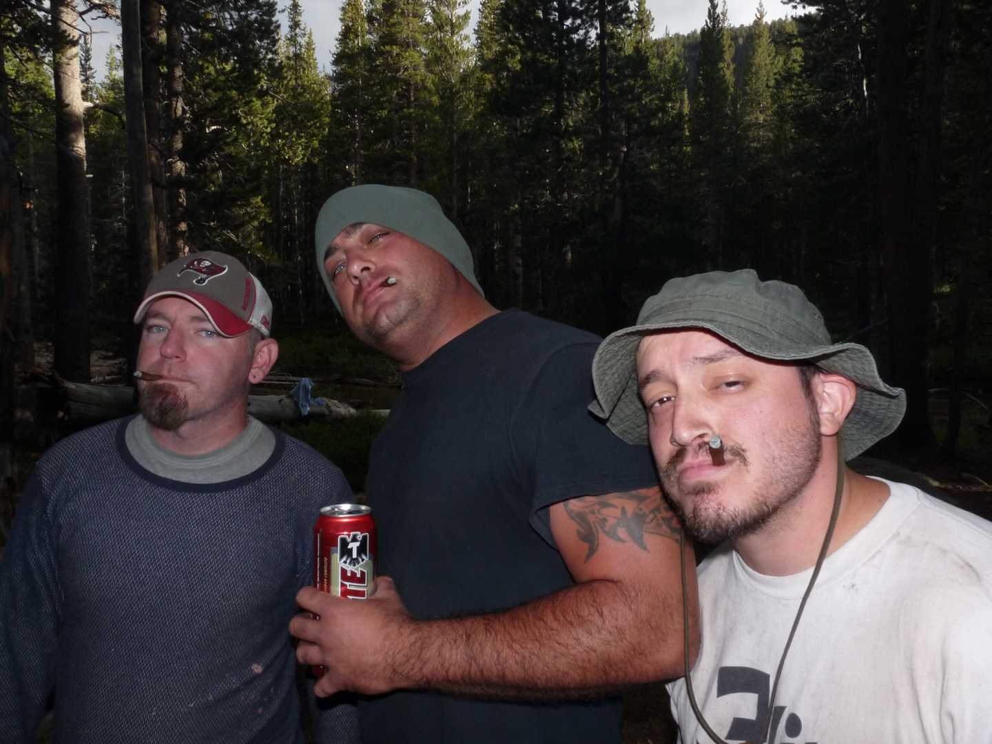
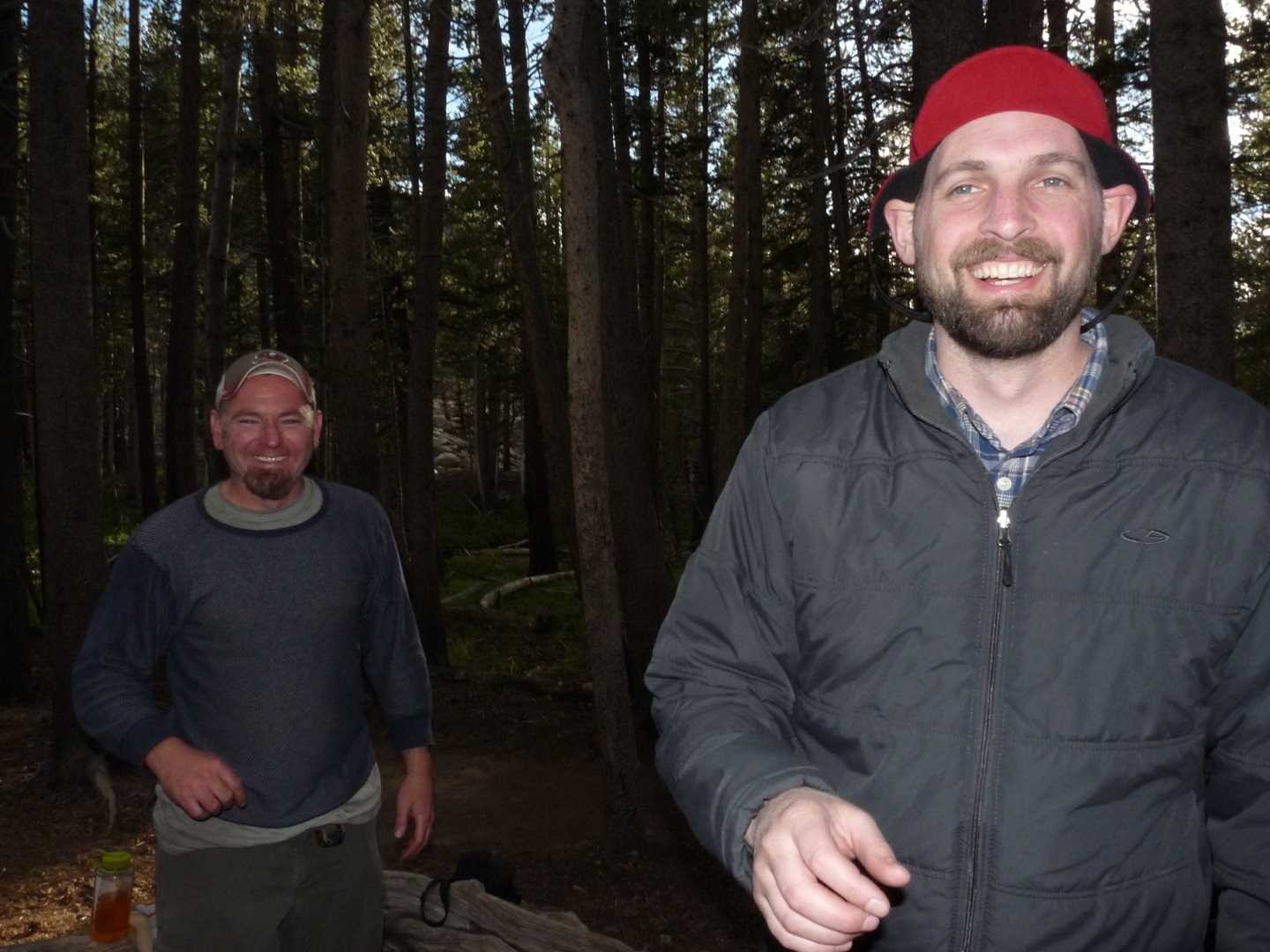
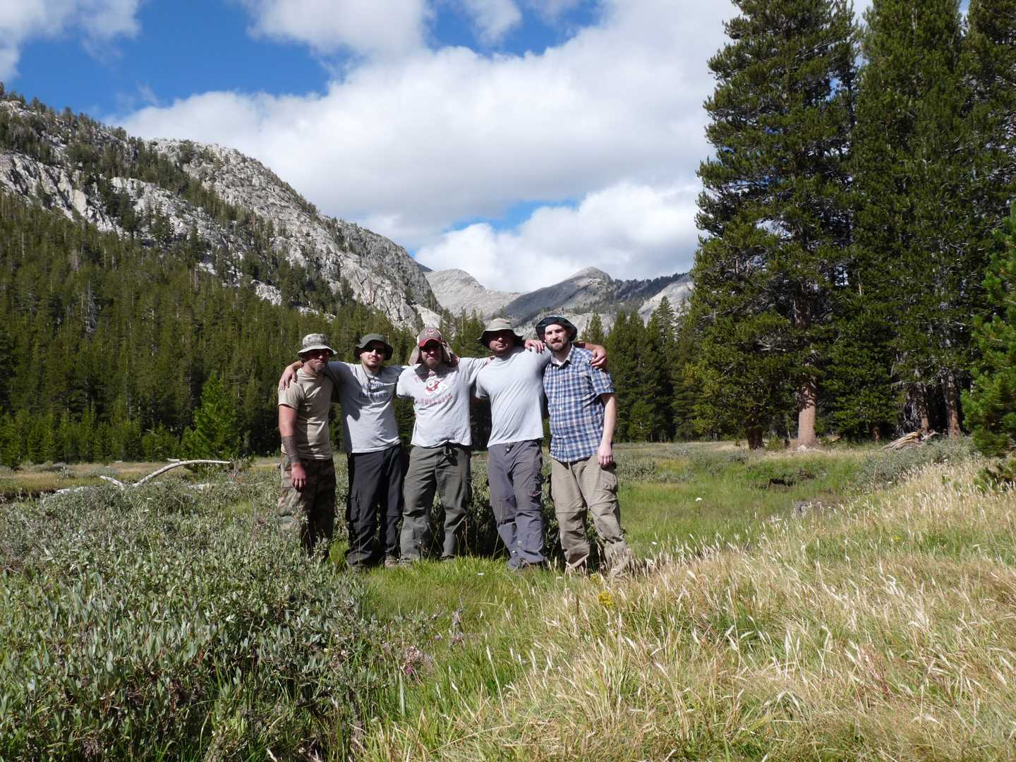
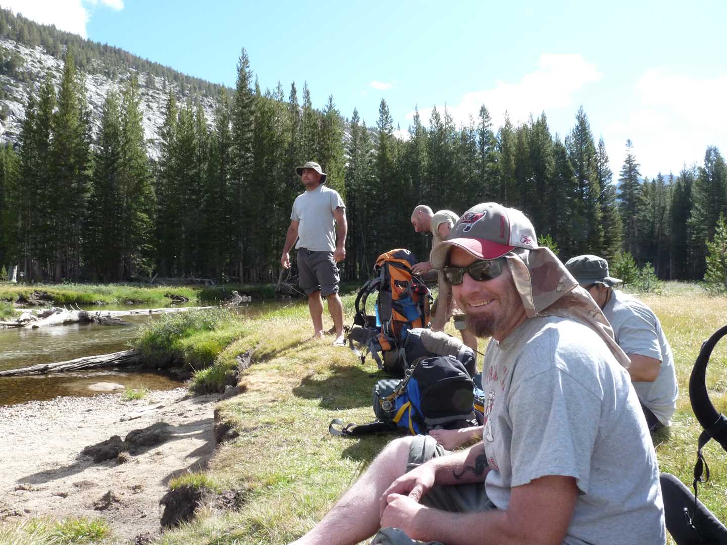
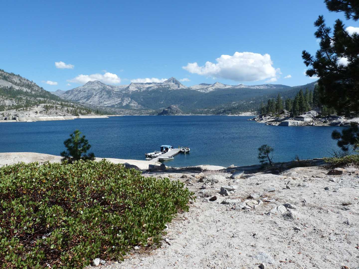
The hike this year begins at Florence Lake which can be accessed using the Kaiser Pass road. The drive to Florence Lake from Fresno takes about 3 hours if you stop a few times. Once at the lake, you can take the ferry across the lake saving you about 4 miles of hiking. There are two trail systems to get to Evolution Valley. One is the Florence Lake trail and the other is the JMT/PCT trail (John Muir Trail/Pacific Crest trail). Most of our gear weighs around 55 lbs because this trip, although was longer in mileage, was not the steep of a climb. This enables us to pack more items like beer and fresh food. The group consists of five people this year; Chris, Chris, Chris, Jason and Erik. This is Jason’s first year. The trip begins on August 27th and ends on August 30th
Day 1 – Hike in
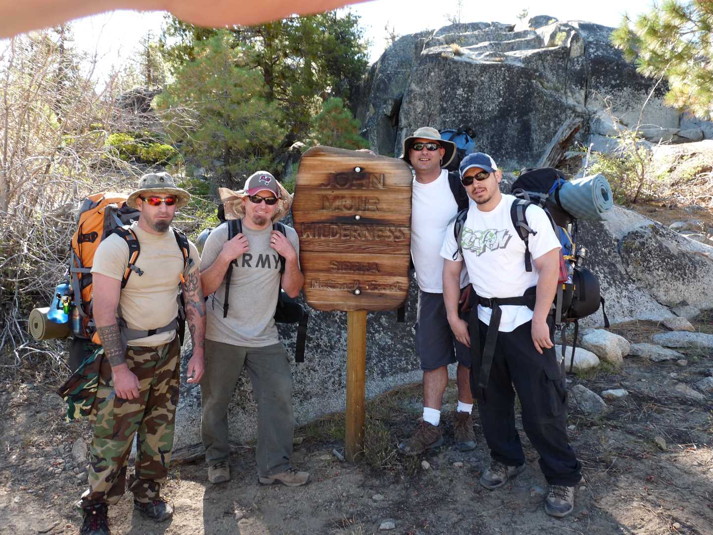
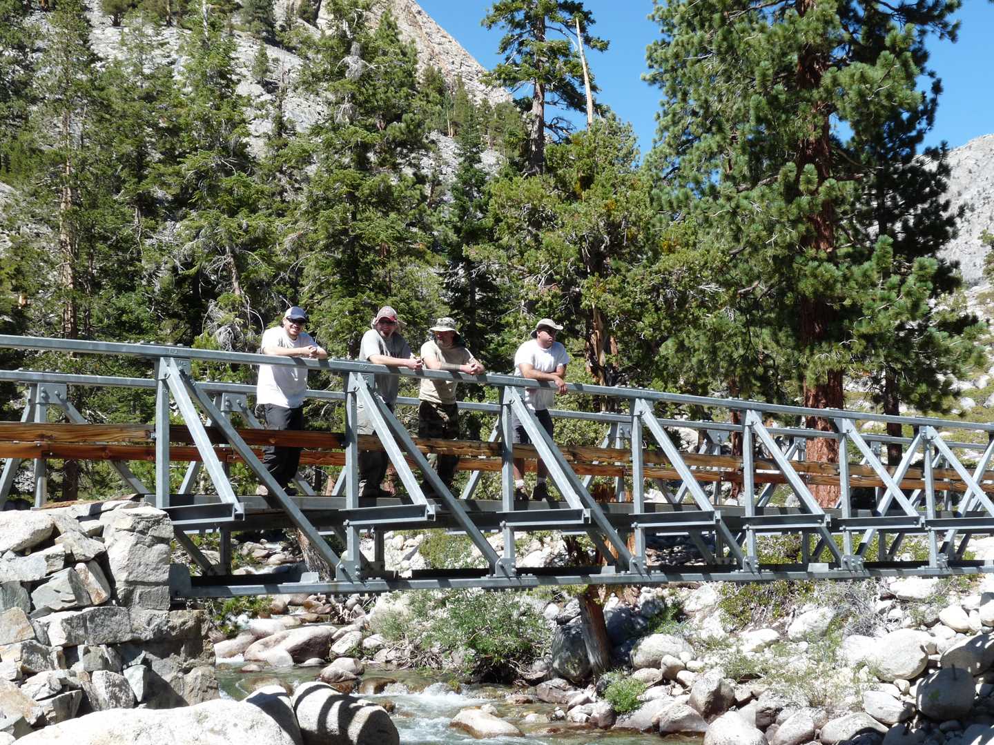
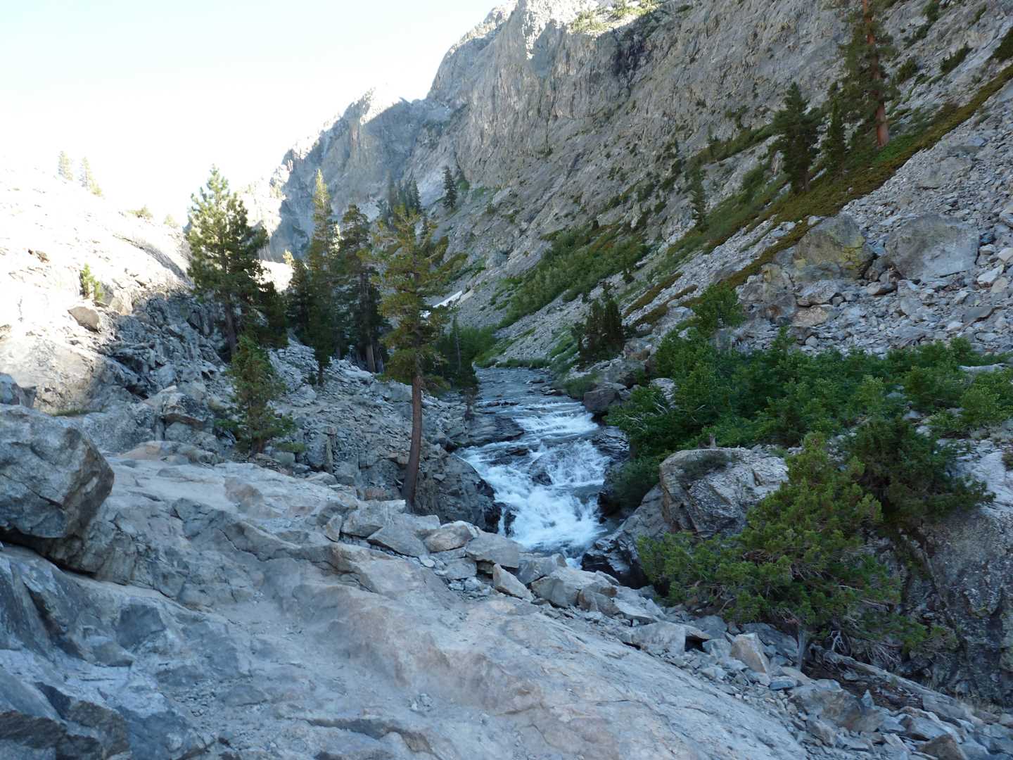
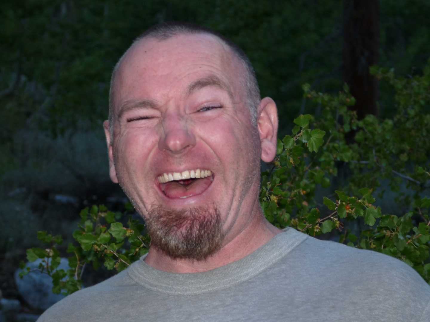
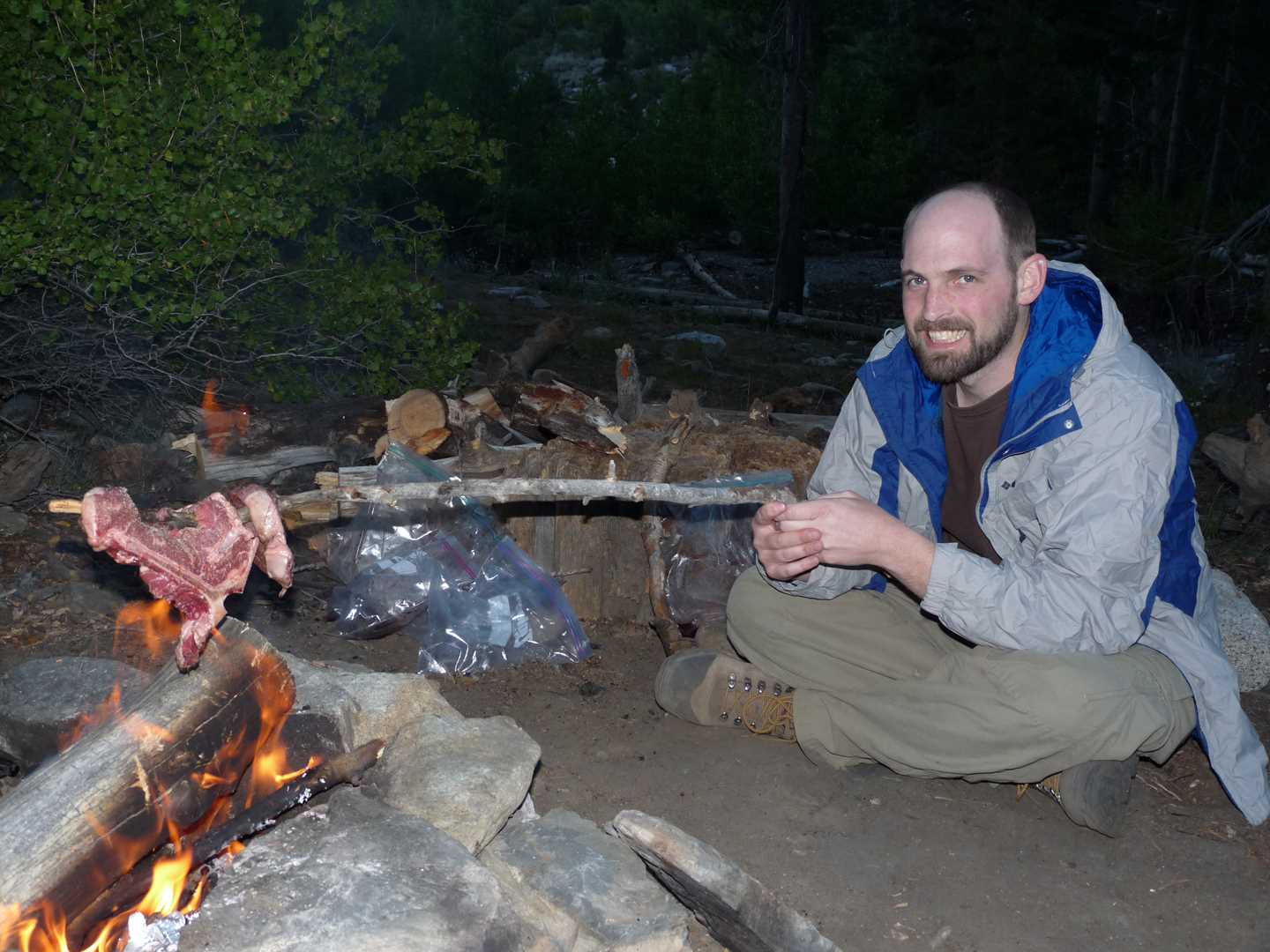
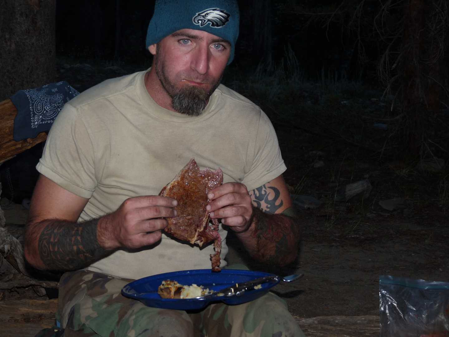
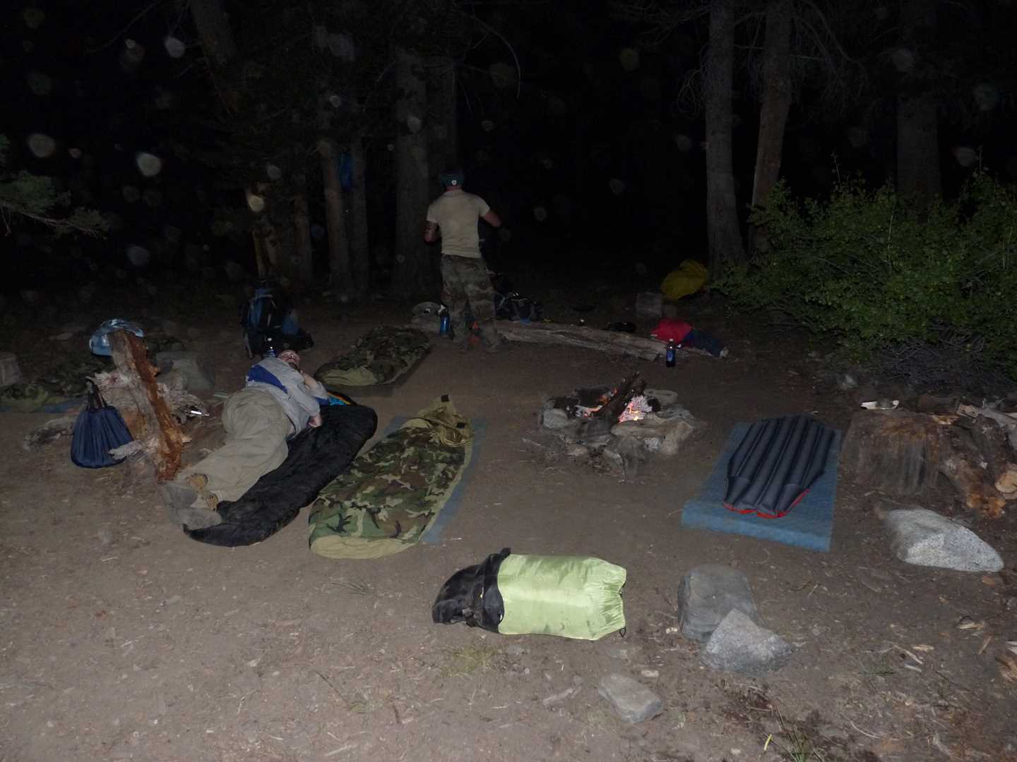
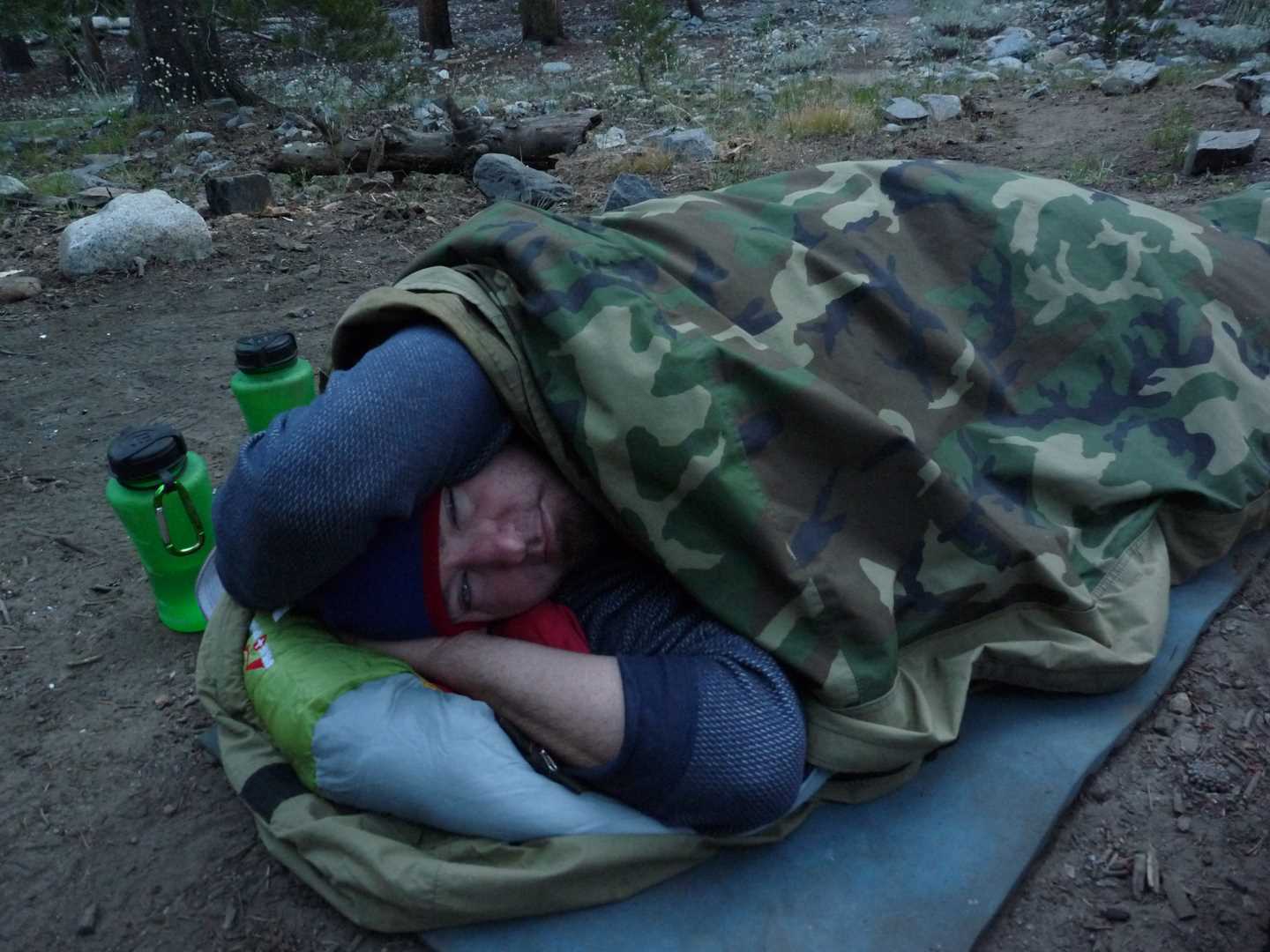
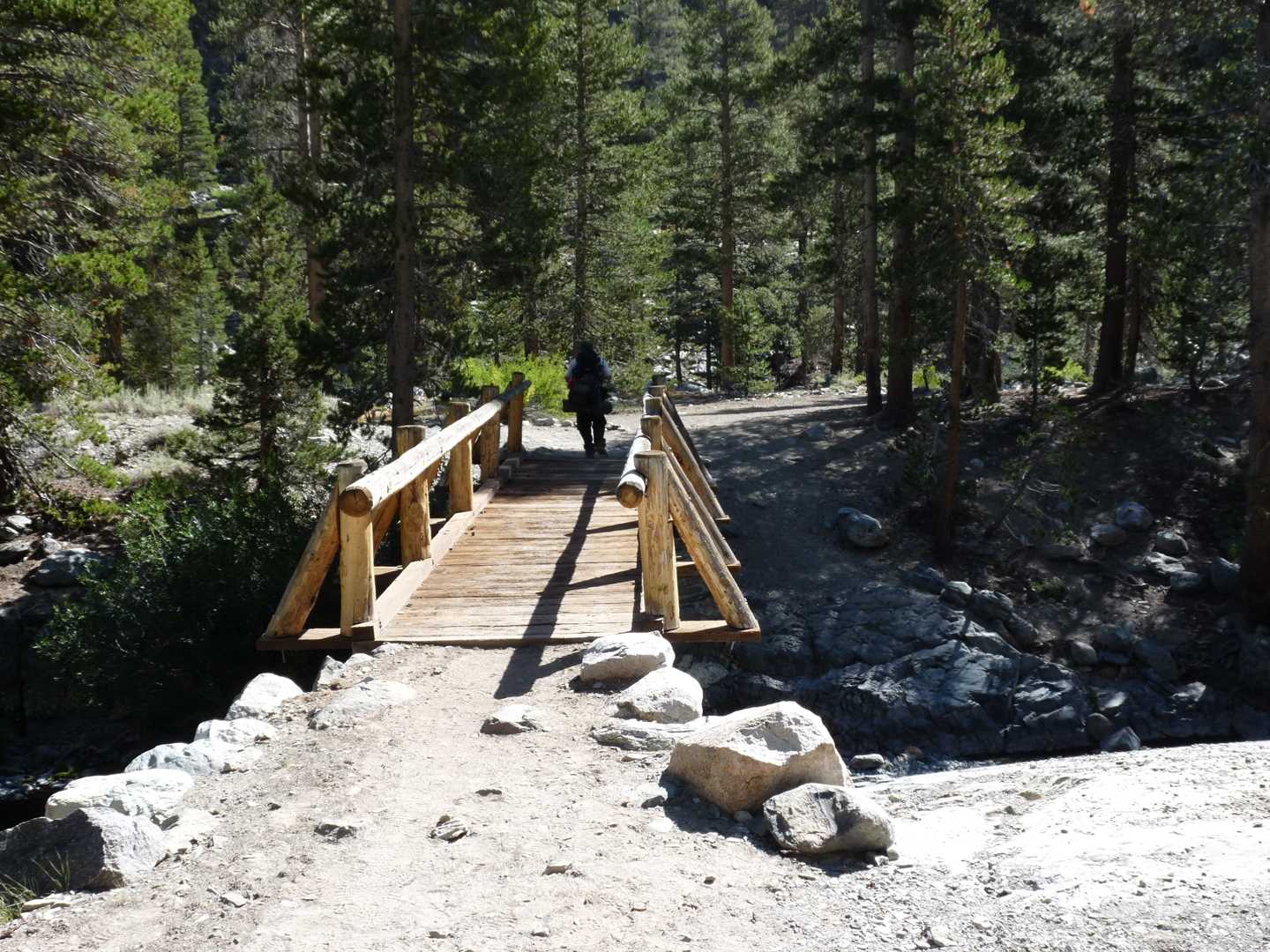
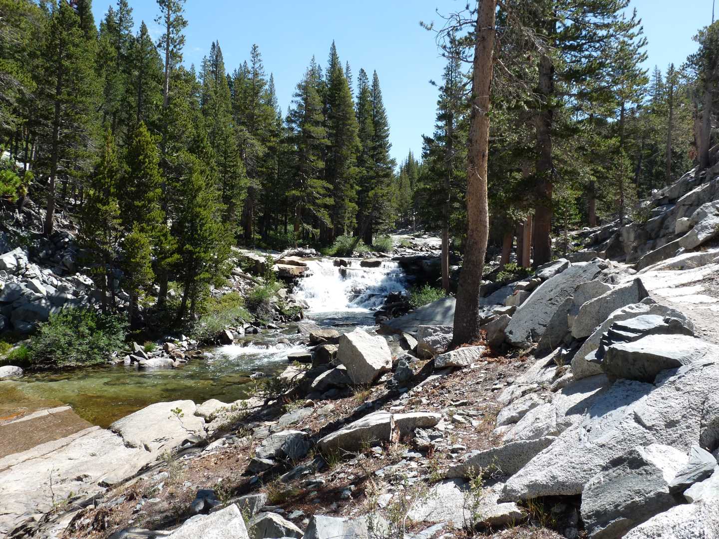
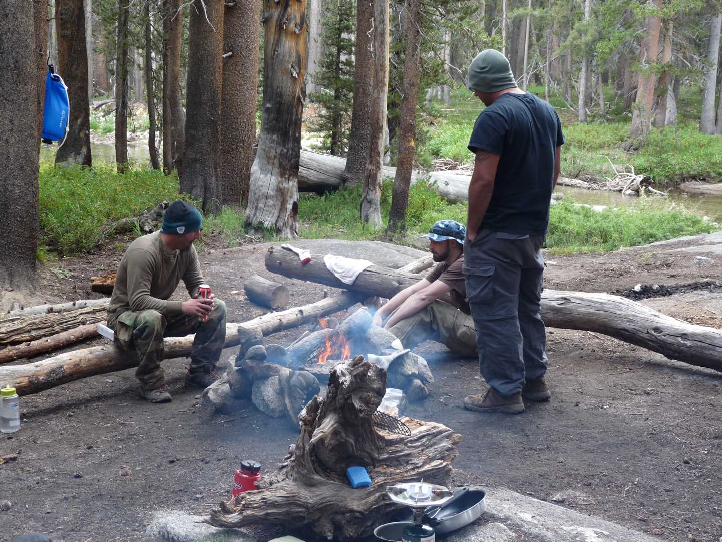
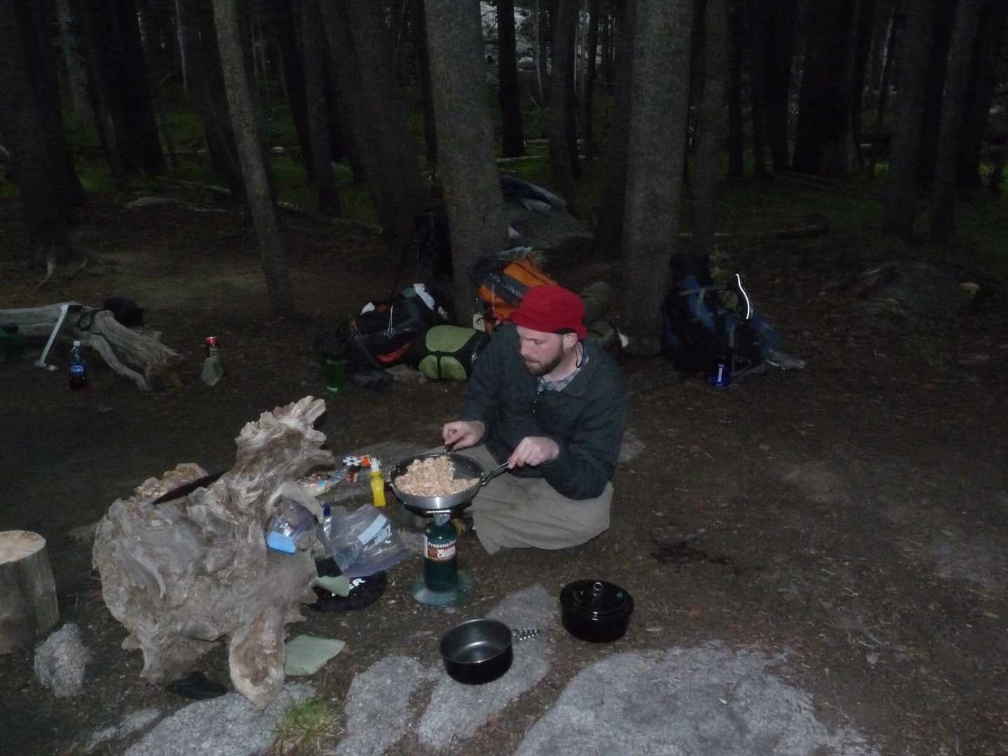
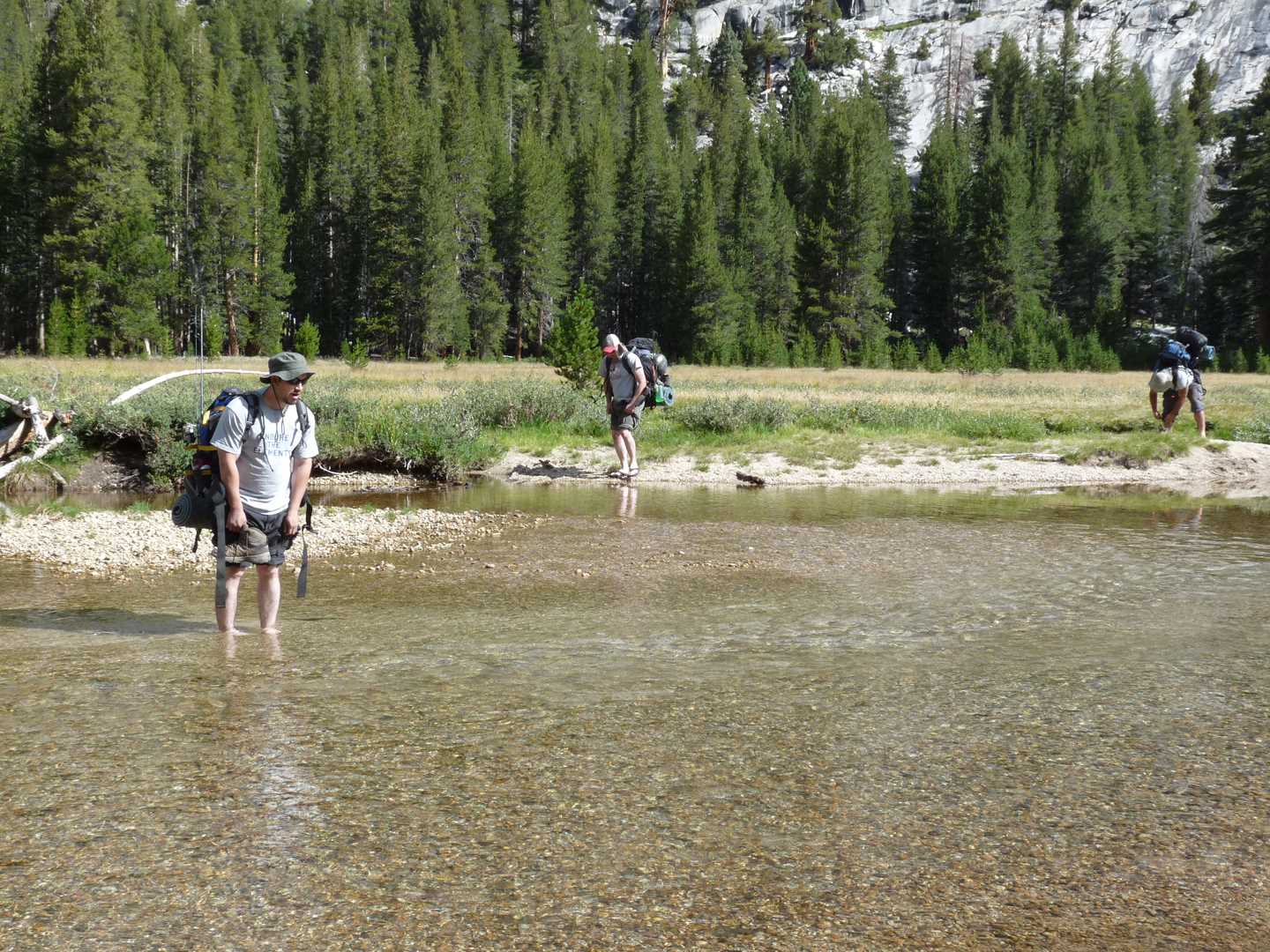
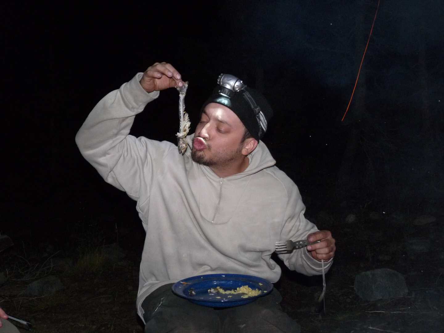
The trip starts in Fresno where we all meet and divvy up the community goods. The drive to Florence Lake takes about 3 hours with a few stops. Once at the lake, you can purchase ferry tickets at the marina for $20 round trip. Using the ferry cuts off about 4 miles of hiking around the lake. Once across the lake, you hit the Florence Lake Trail. This is the first section of trail up to the Kings Canyon national Park. Our goal the first day is to get as far as we can because we know that we will not be able to reach Evolution the first day. The first section of trail passed two meadows called Double Meadow and Blayney Meadow and then you come up on the Muir Trail Ranch. From the Muir Trail Ranch, you travel about another 4 miles to reach the park boundary and the Piute Bridge. After having some lunch, we entered into the park and followed the San Joaquin River for another 3 miles or so to some nice camp spots where we ended our day. There are two bridges that cross the San Joaquin in this section of trail, but we only reached the first one as it was getting late and I was dead tired. After getting some wood and having a nice steak dinner, we hit the sack to get some rest.
Day 2 – Fish the river
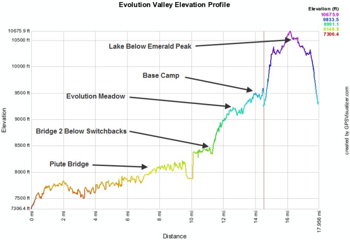
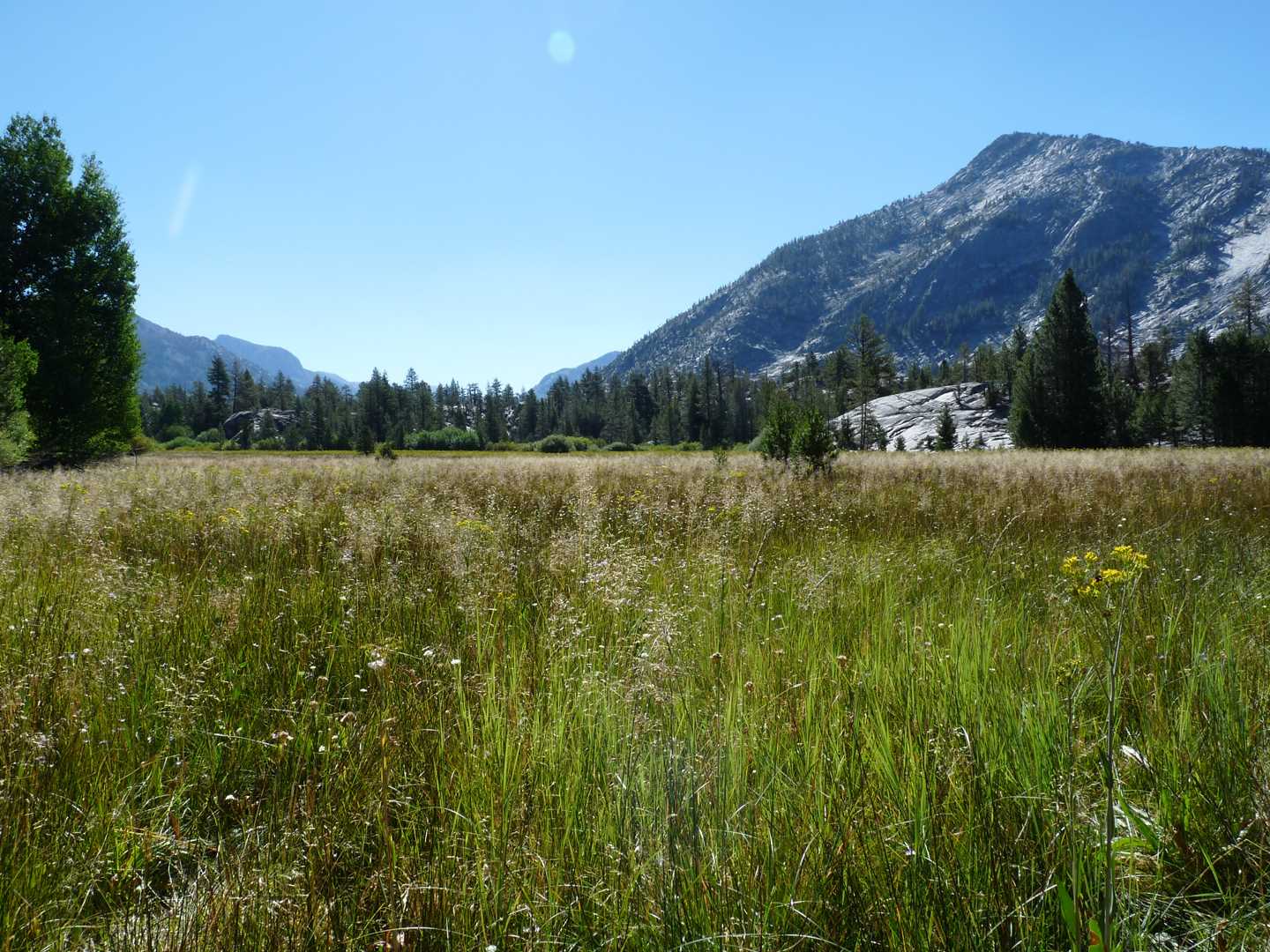
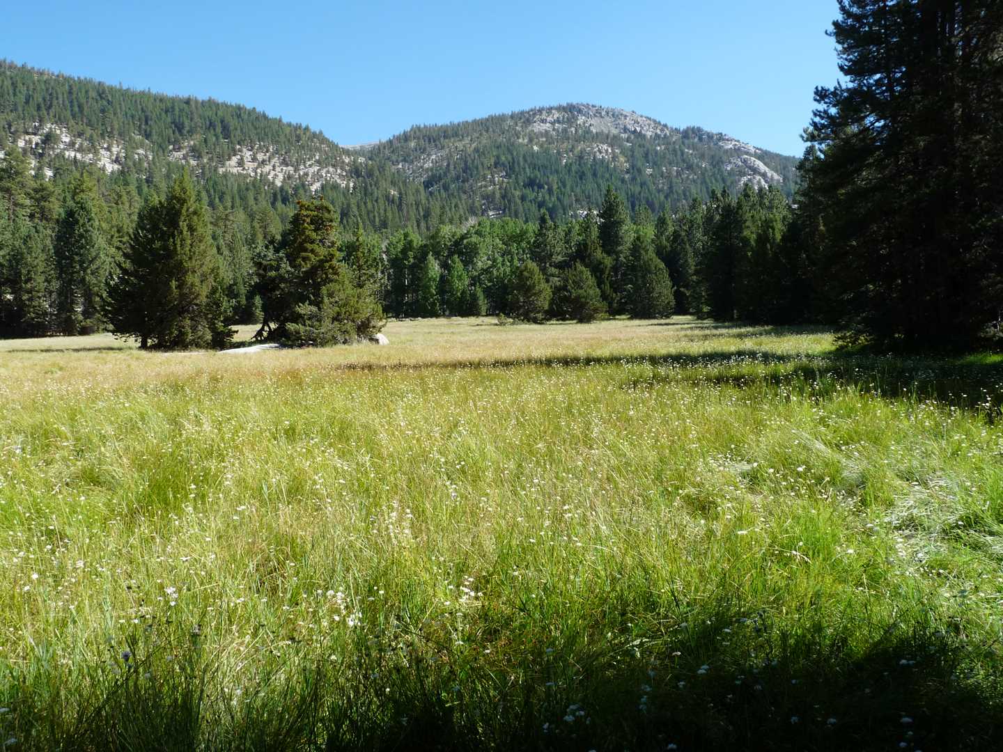
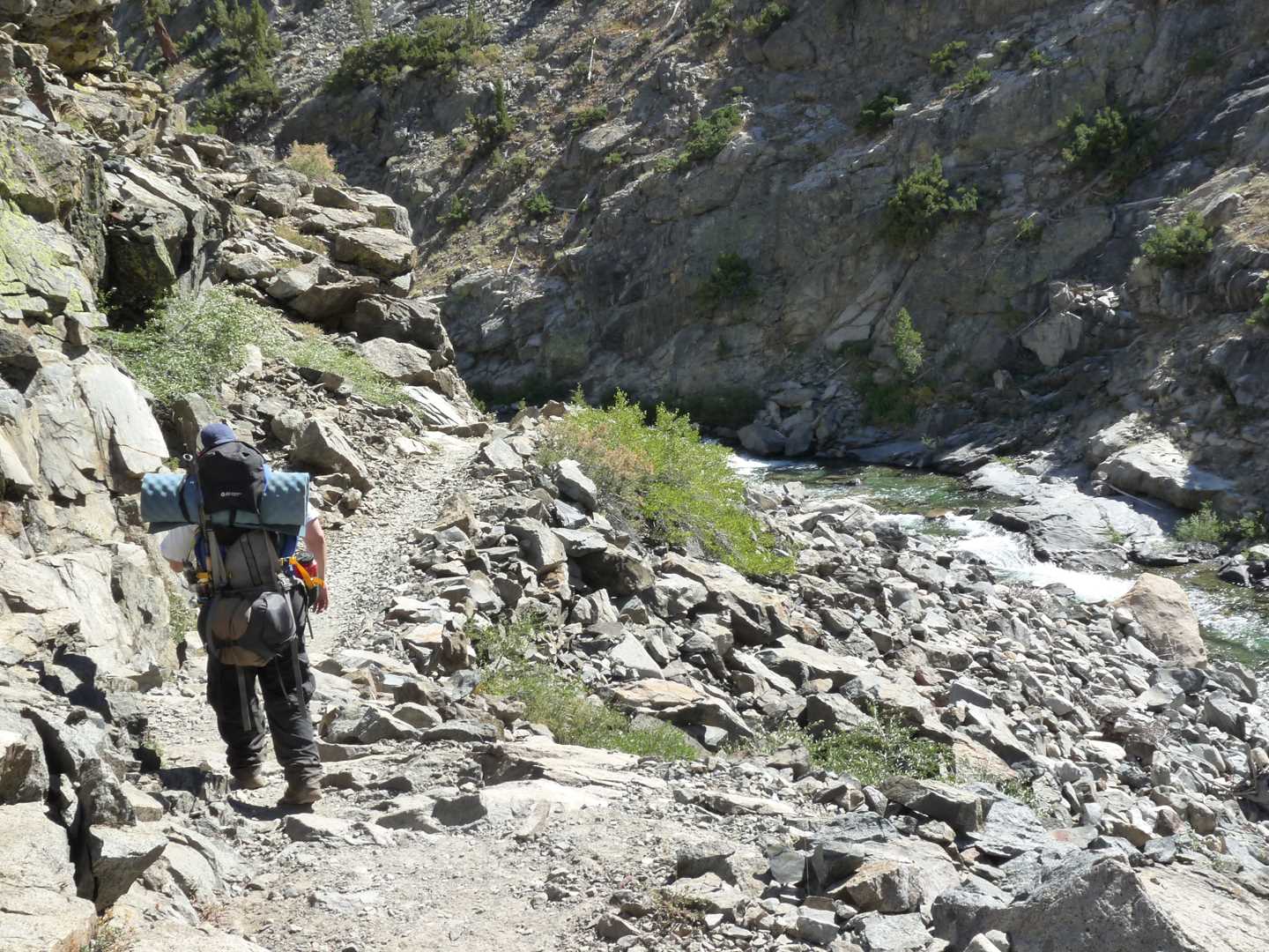
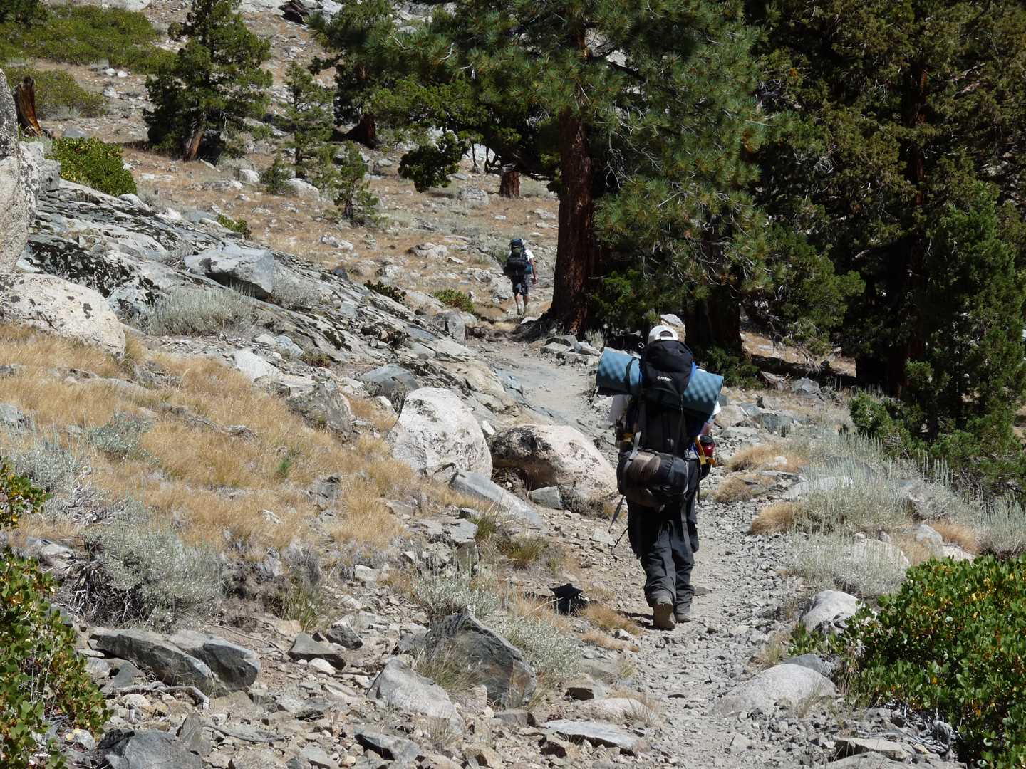
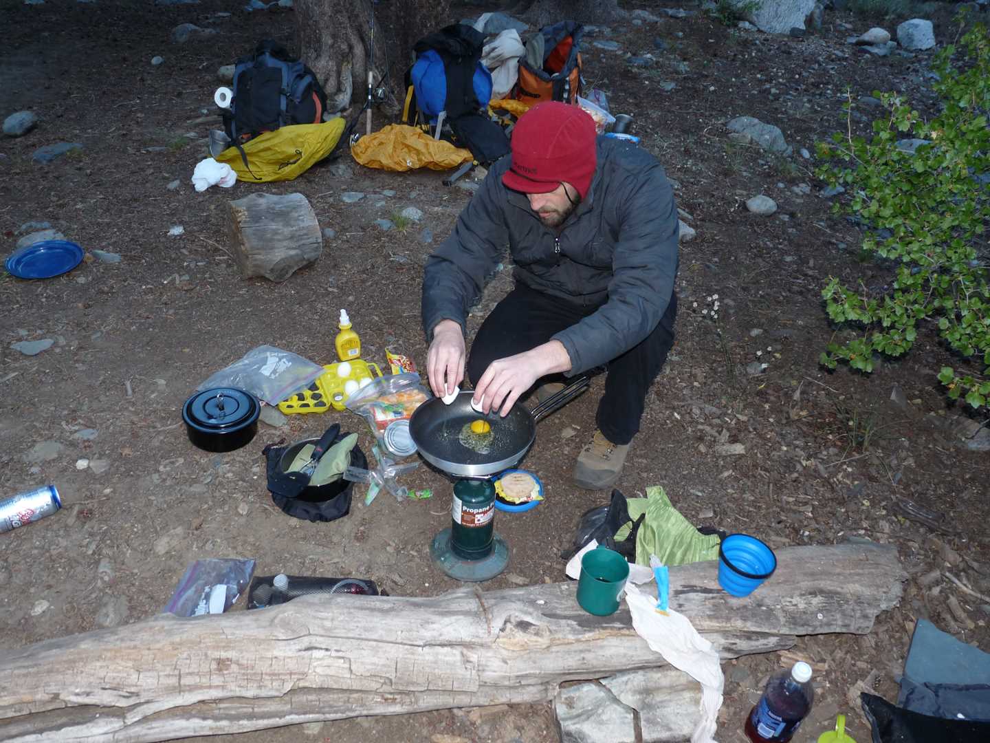
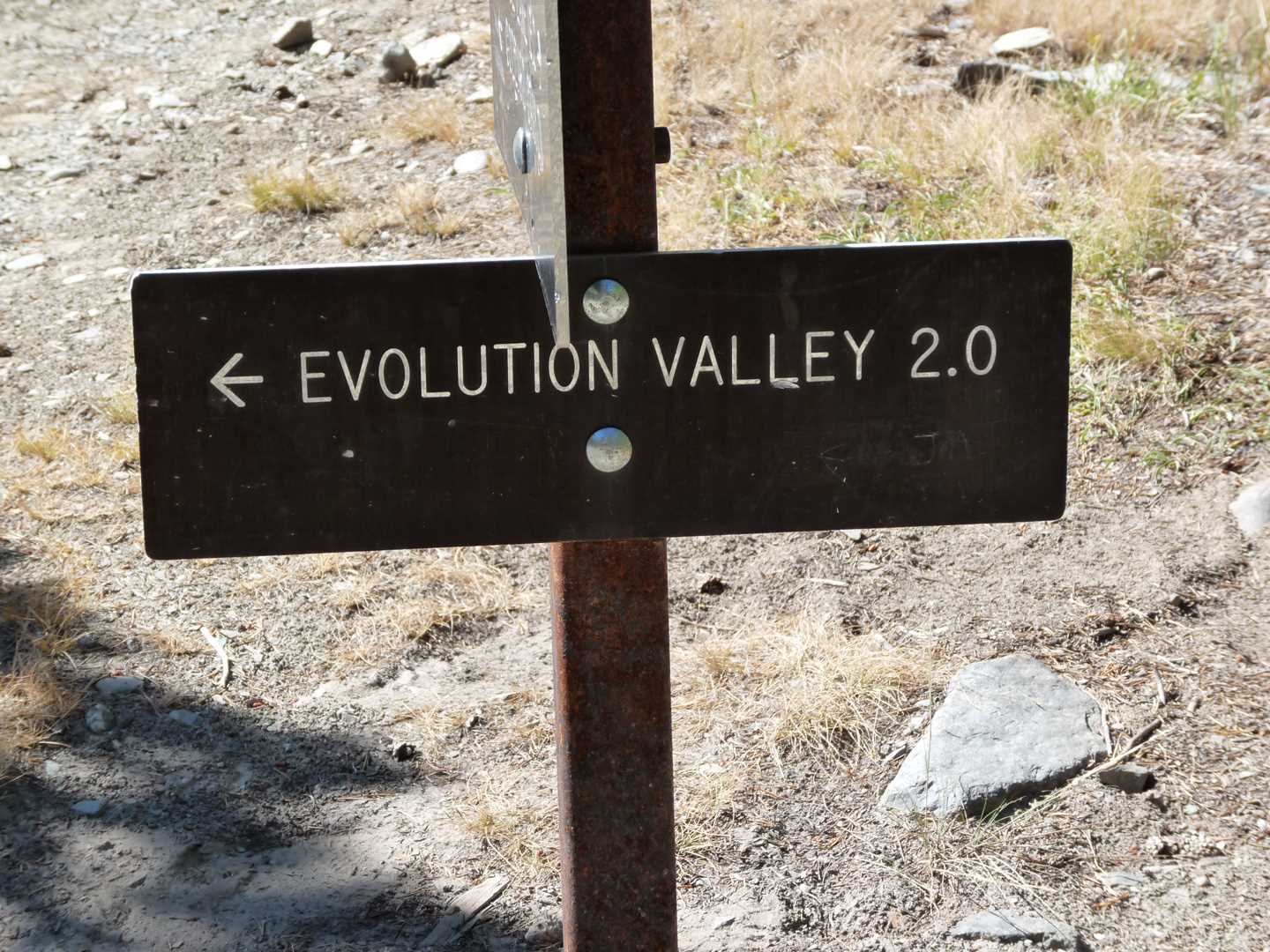
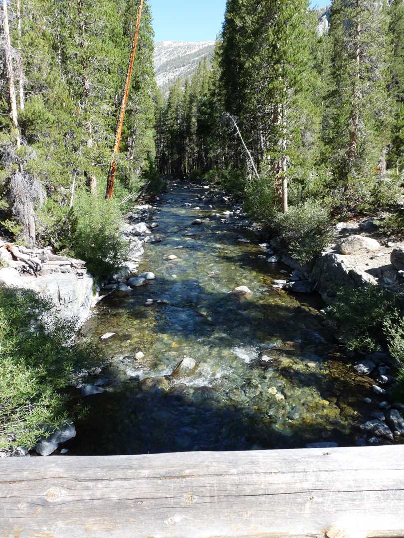
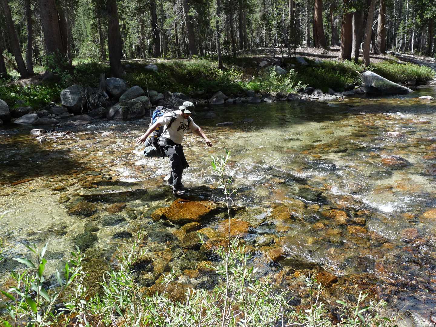
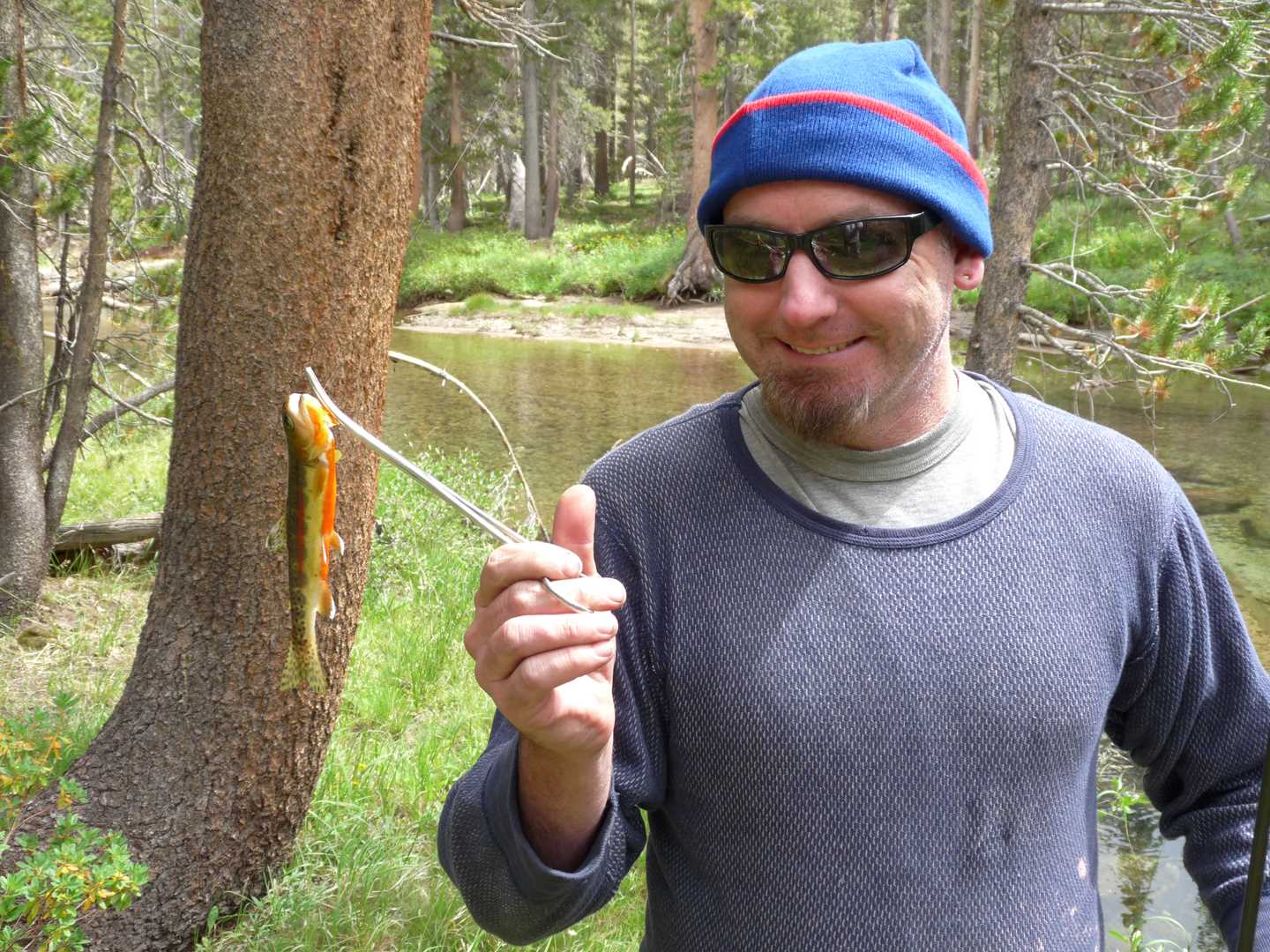
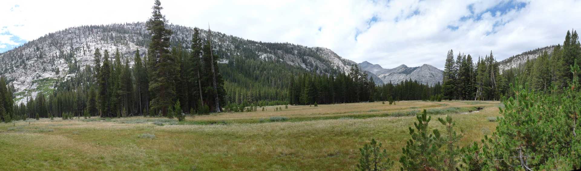
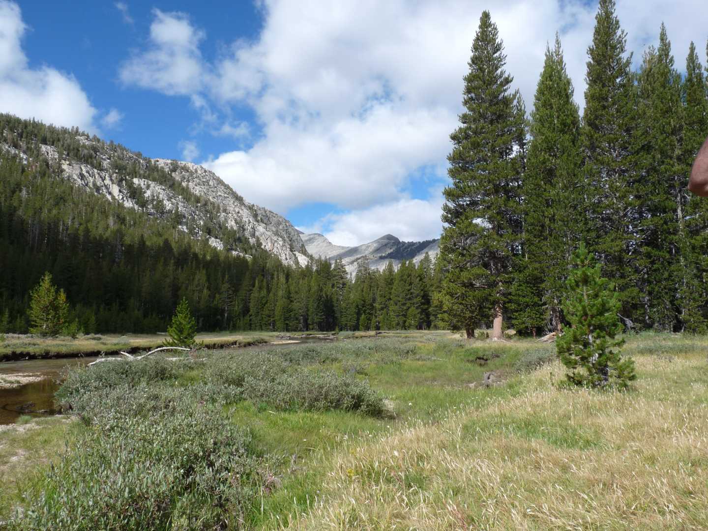
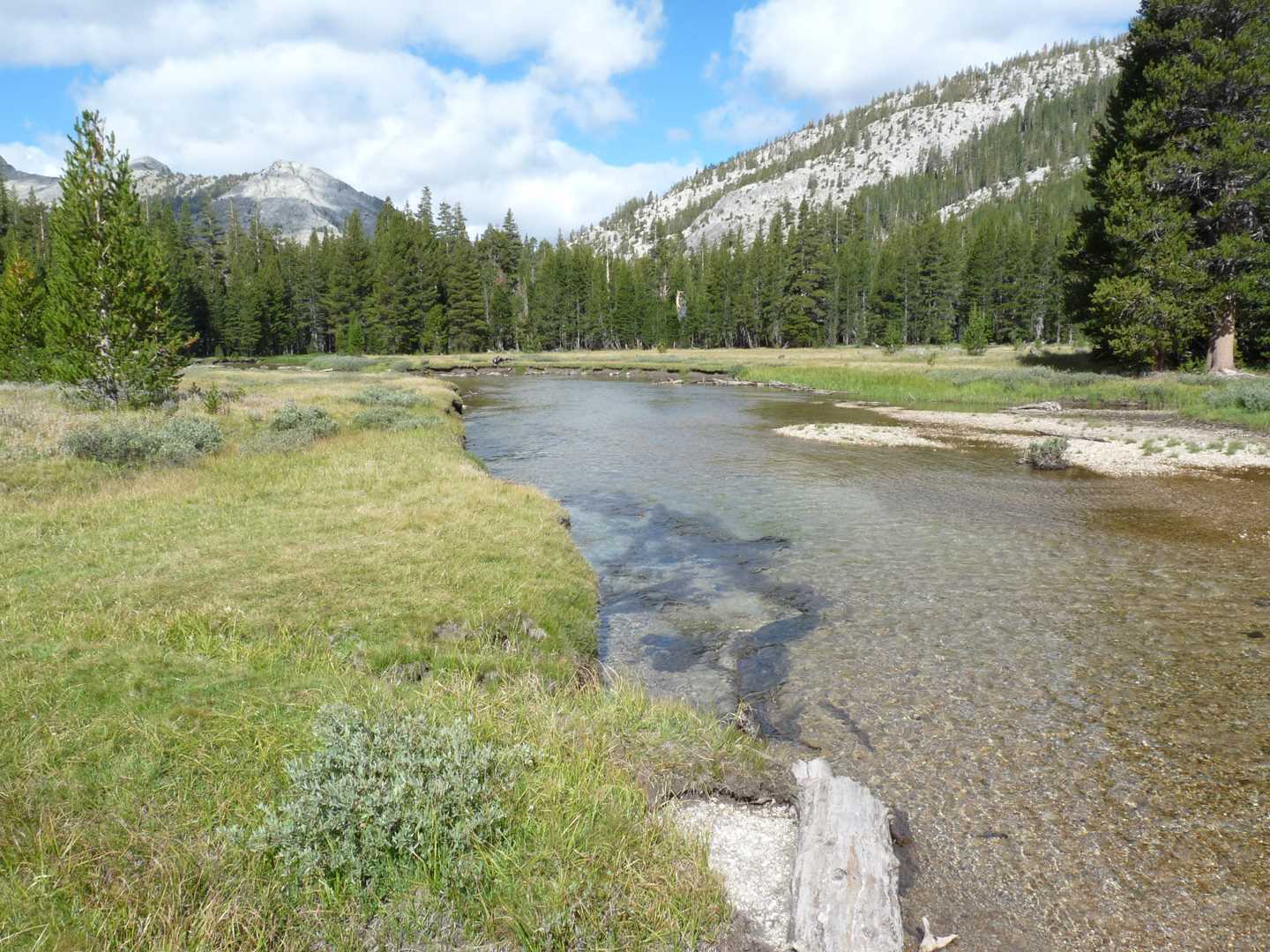
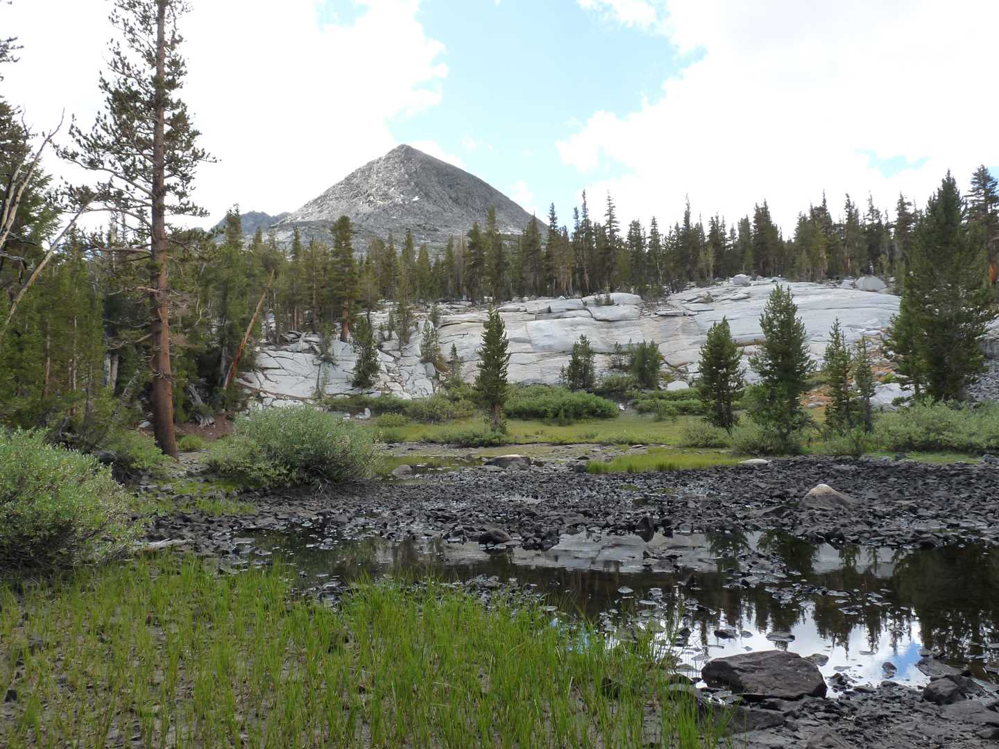
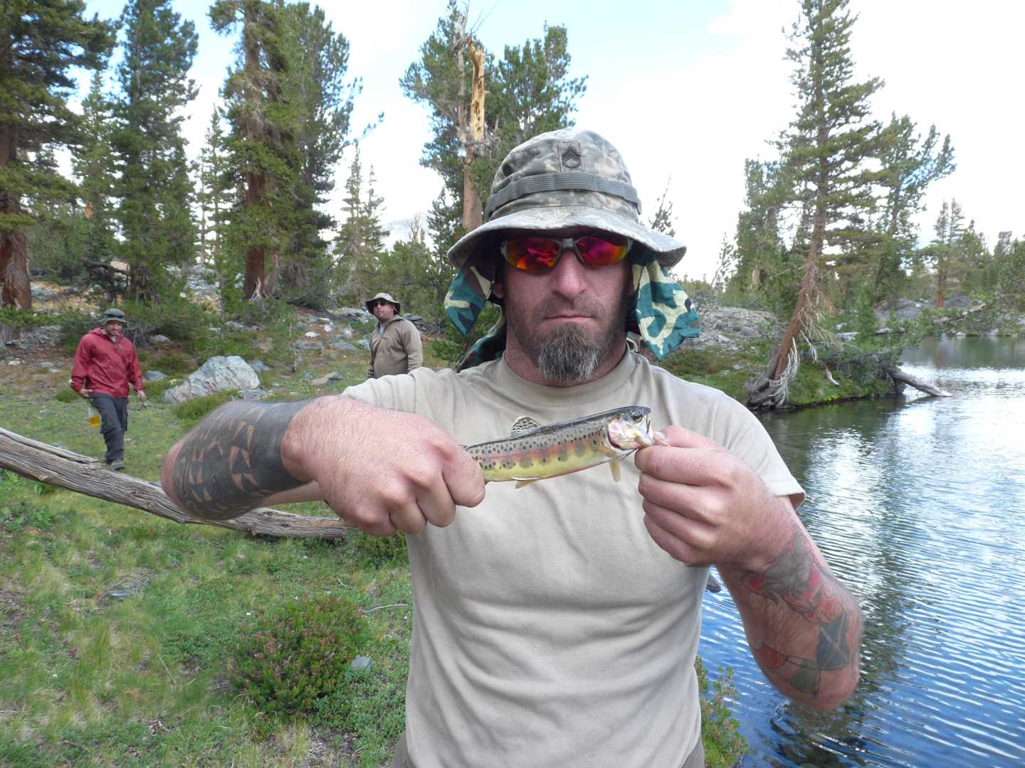
Day 2 starts out with a nice warm breakfast as we get ready to make the push to Evolution Valley. After getting cleaned and dressed, we head off down the trail another ½ mile to reach the second bridge. The second bridge is at the bottom of the switchbacks leading up into the valley. From this bridge, it is about 2 mile until you are officially in Evolution Valley so we hit it hard and start climbing. At the top of the switchbacks, it levels out some and gradually climbs up to Evolution Meadow which is another mile from this spot. Our goal is to find a base camp just before McClure Meadow to avoid traffic and mosquito. Once we reach the meadow, we push forward another 2 miles or so and reach our destination. For the remainder of the day, we fished the river and just relaxed.
Day 3 – Climb the mountain
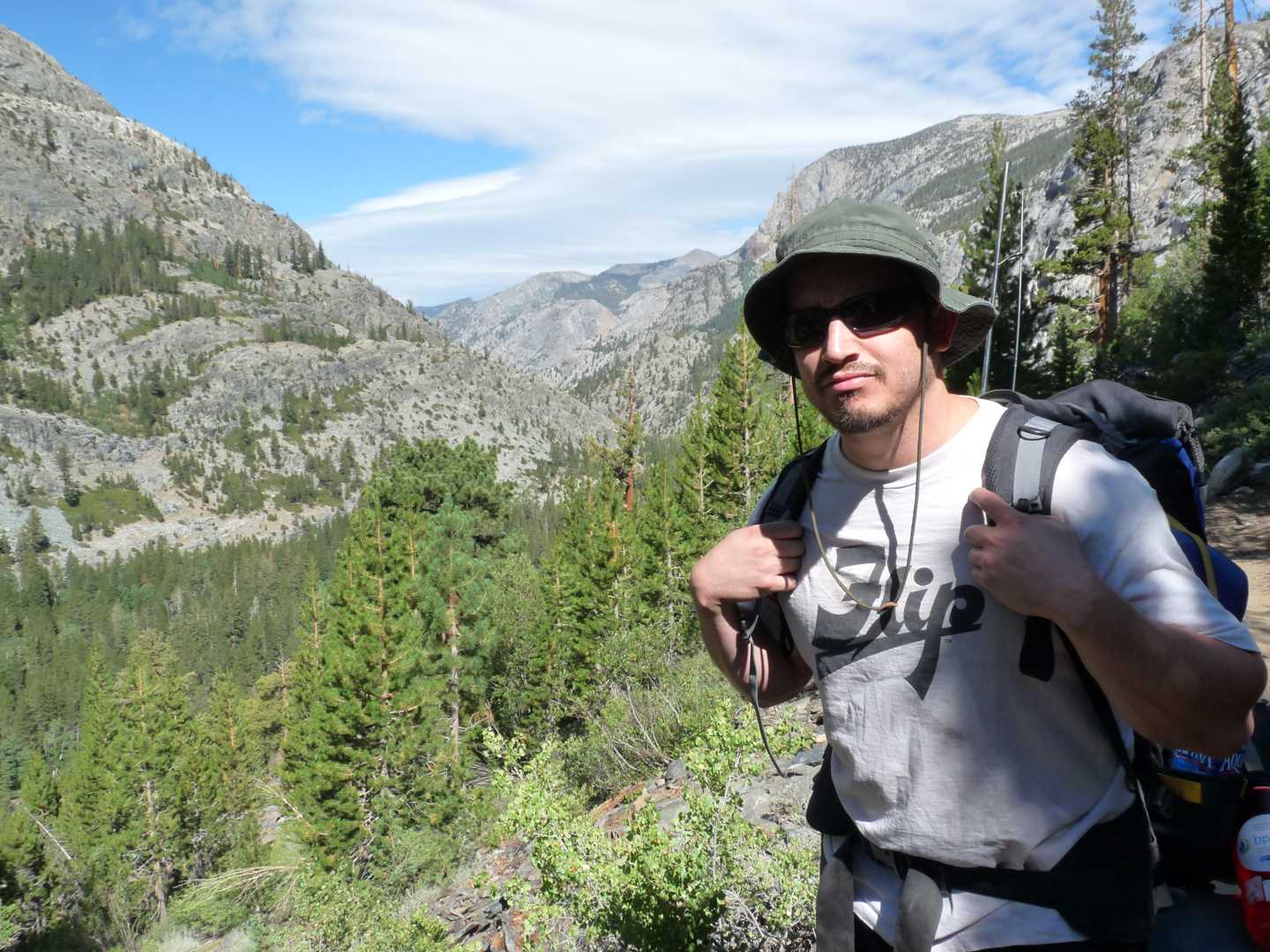
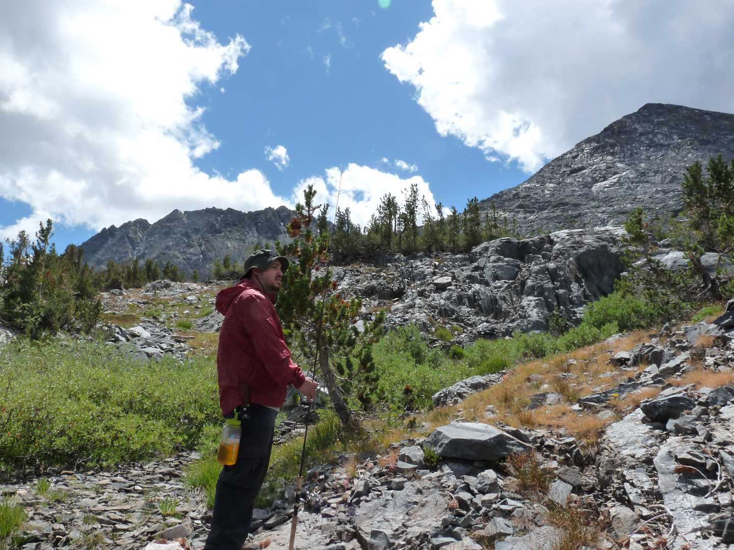
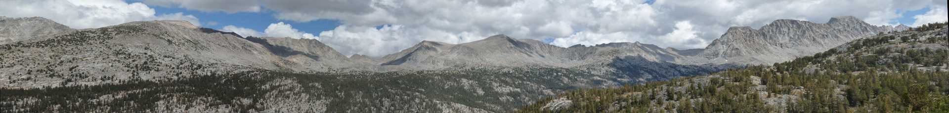
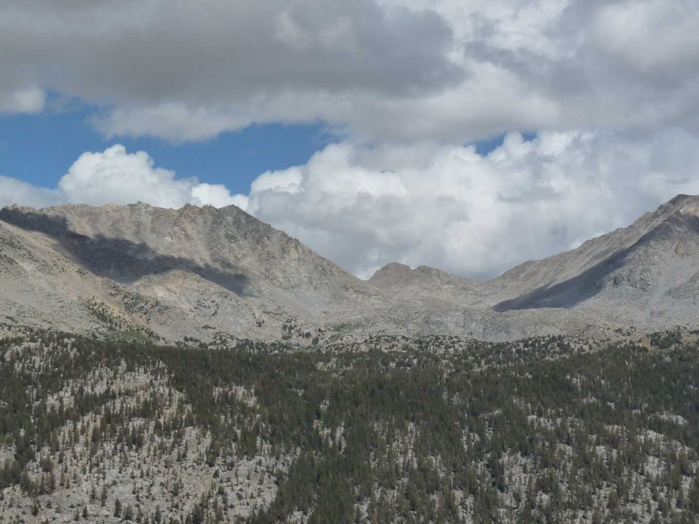
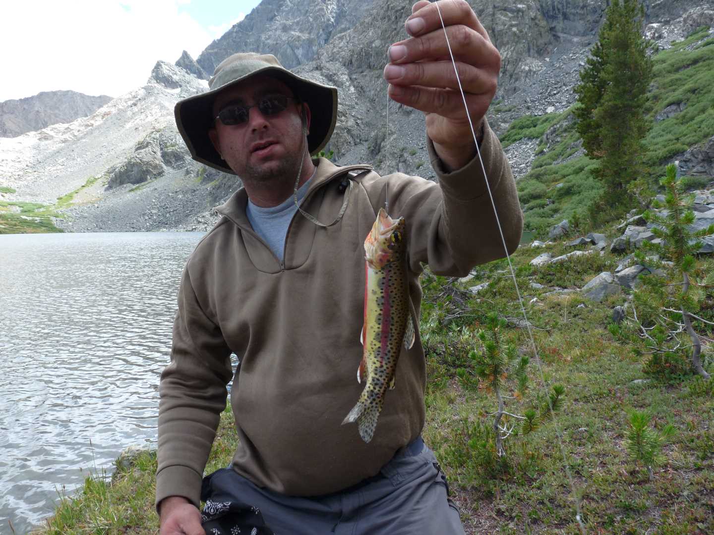
The morning is chilly, but we make it to day 3. On this day, we are heading towards Emerald Peak to fish a little lake below it. This will require us to climb straight up a mountain about 1000 feet. We back up our bags and head back down to Evolution Meadow where we will begin the climb. It is still early and a little chilly but the minimal cloud coverage isn’t too much of a nuisance yet. We climb for about 1.5 hours until we reach the top. The view is awesome as you can see the entire valley and the whole of the Glacier Divide. From here, we travel along the ridge until we reach the un-named lake. The fishing is good but short lived as clouds move in and start dumping snow on us. It snowed for about 1.5 hours as we made our way back down the mountain, but stopped once we hit the bottom. From this point, we start hiking out as far as we can to make the trip easier tomorrow. Once we reach our first camp, we drop our bags, dry off and relax.
Day 4 – Hike out
This day was really just spent driving and hiking. The day was rather nice with few clouds so it make the views along the trail crisp and sharp. We also got to to see a dedication cabin build in honor of John Muir. See you next year…
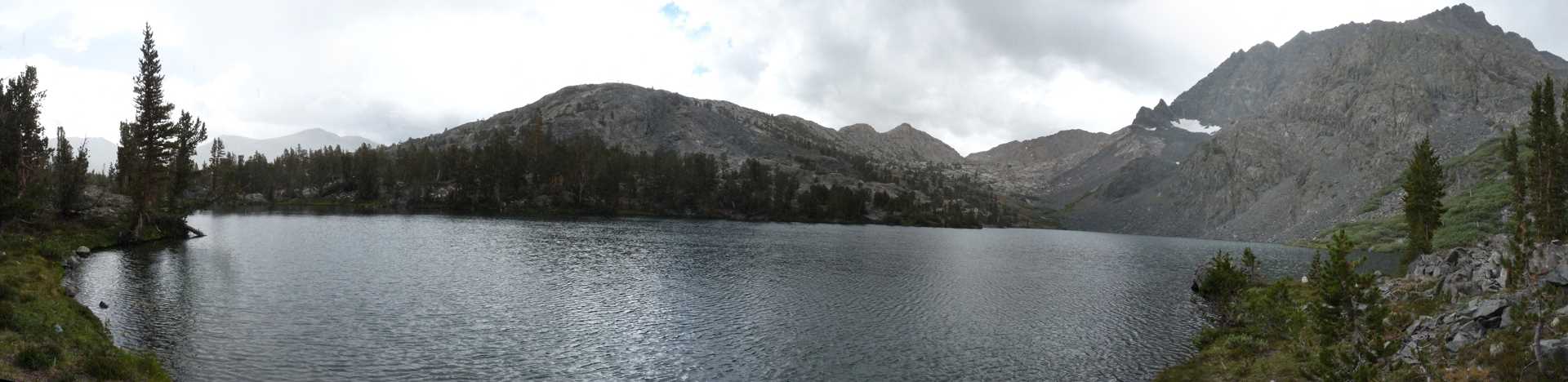
This is a 360 degree panorama image. Just click on the image and drag your mouse. Shift and Ctrl to zoom in and out.