Jackass Lakes 2013
Google Earth KMZ – Jackass Lakes
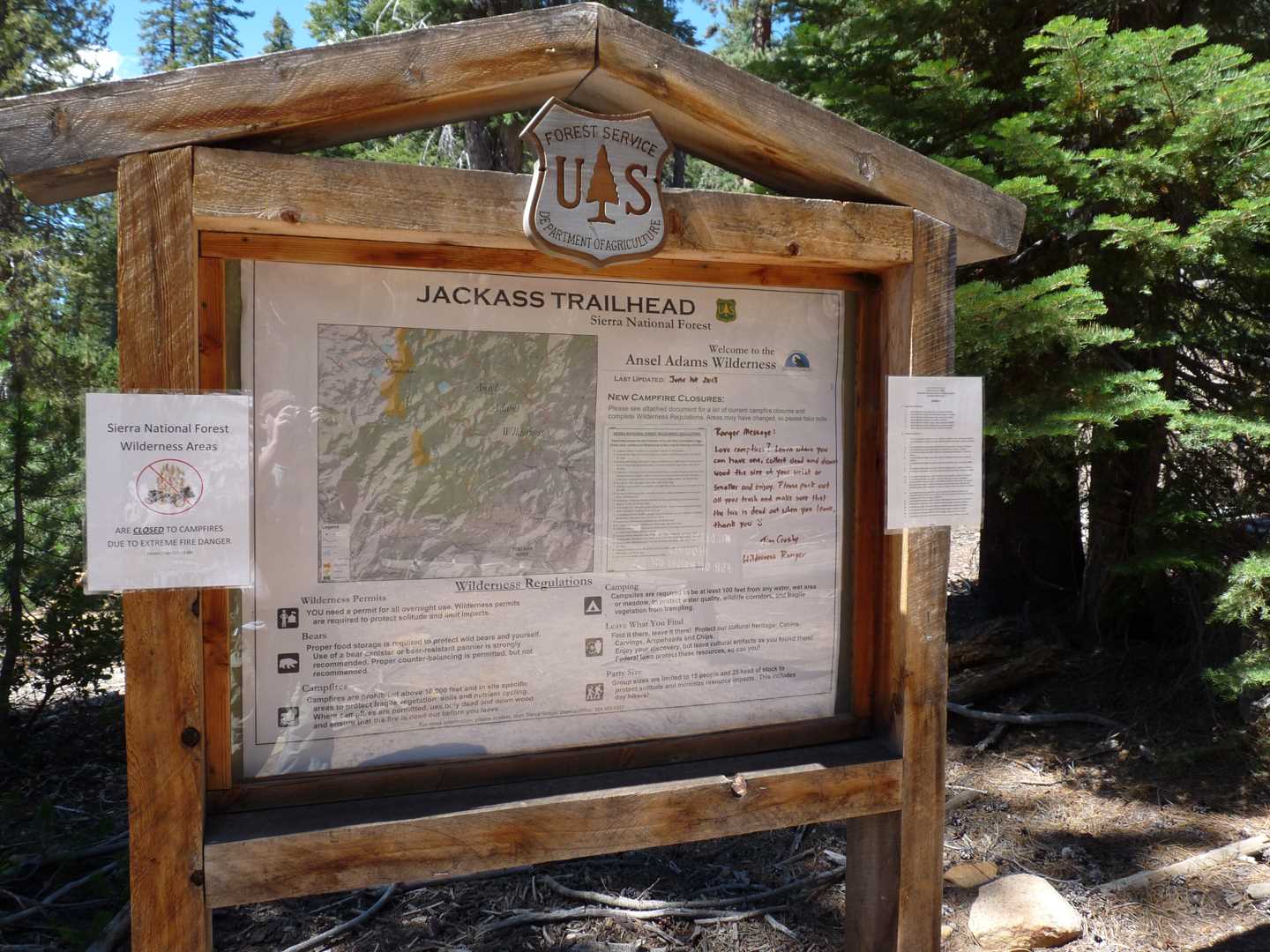
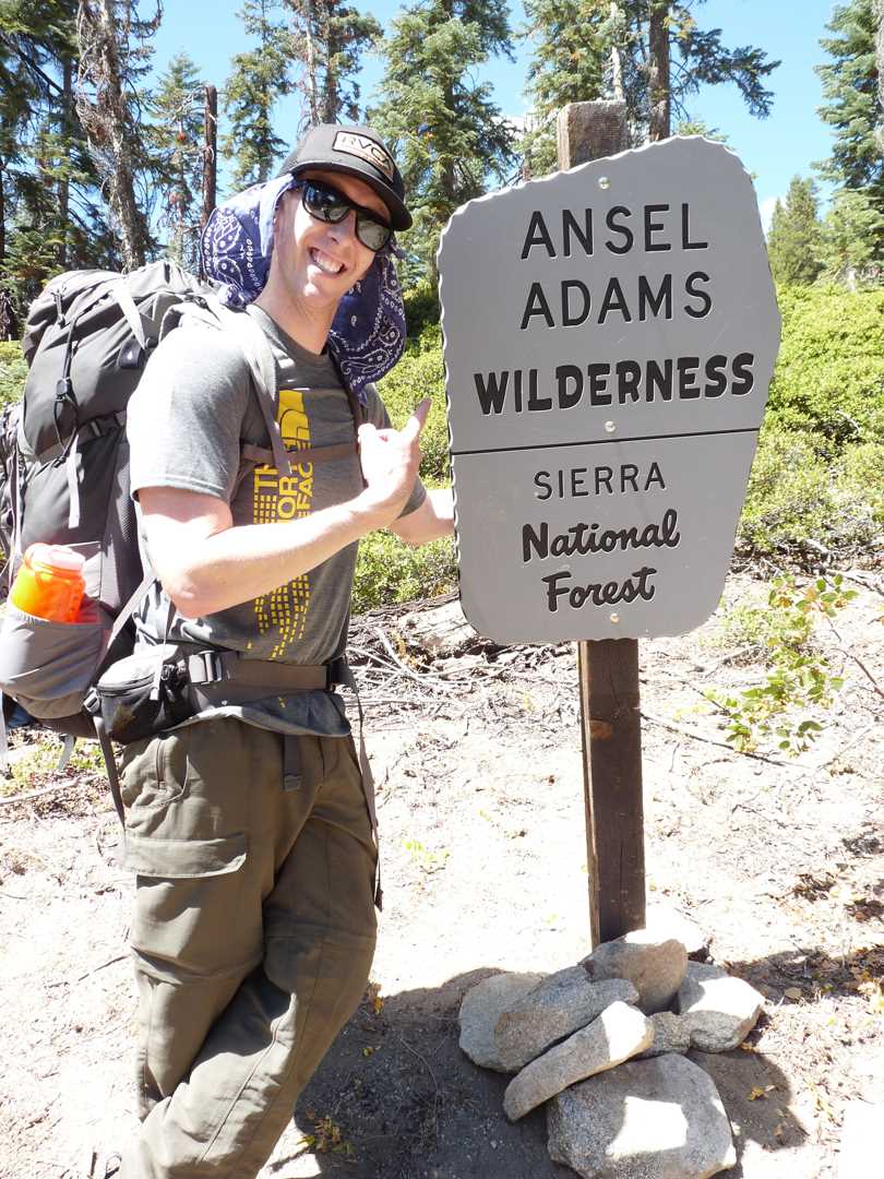
Wilderness: Ansel Adams Wilderness
Latitude: 37.5269
Longitude: -119.3557
Elevation: 8,921 feet
Day 1 – Hike in
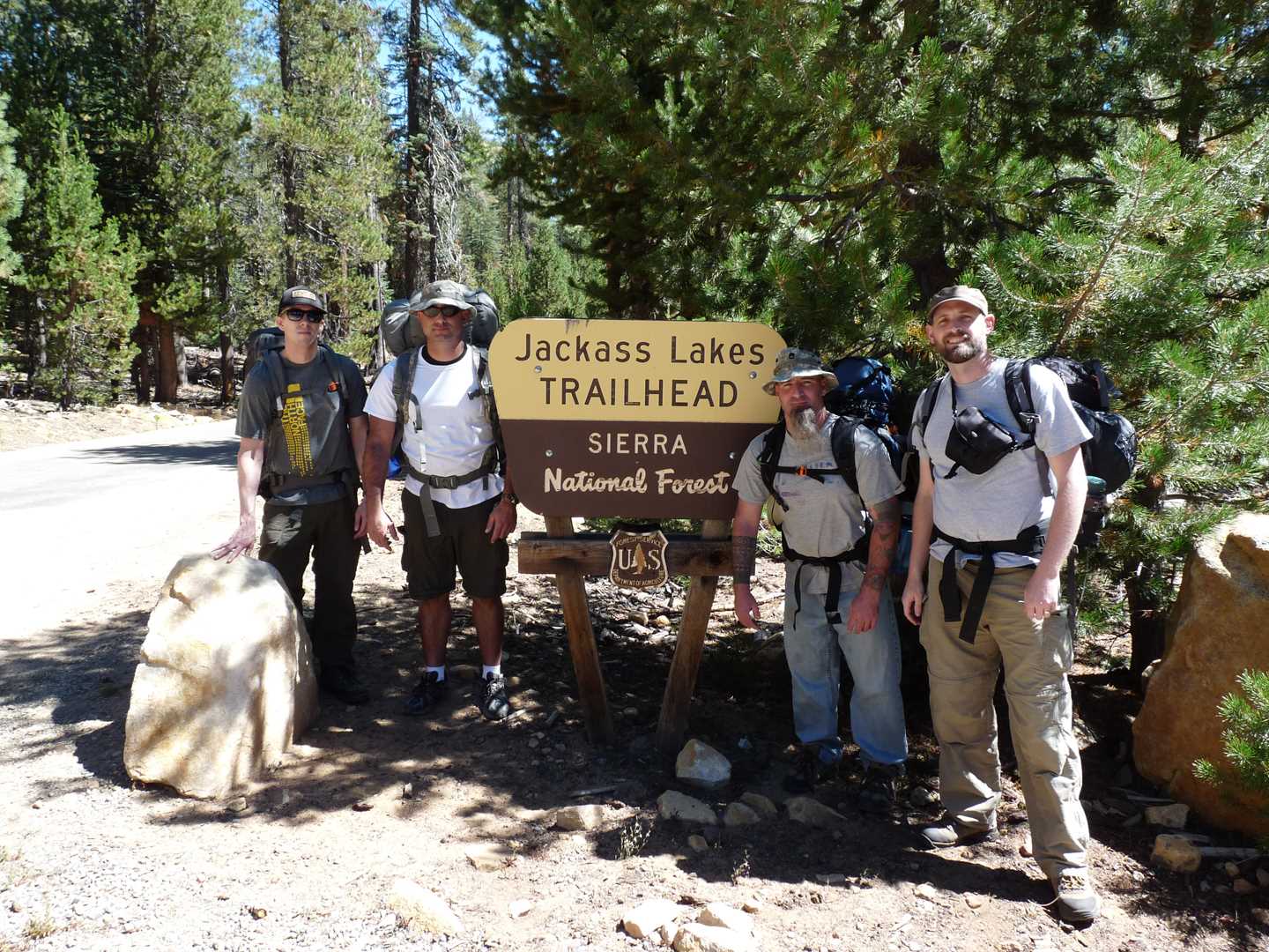
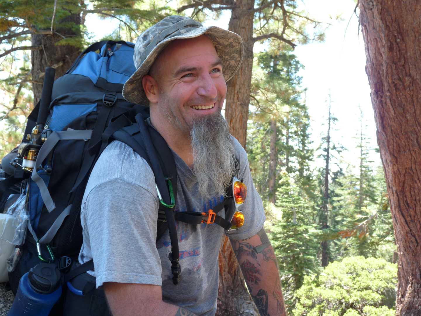
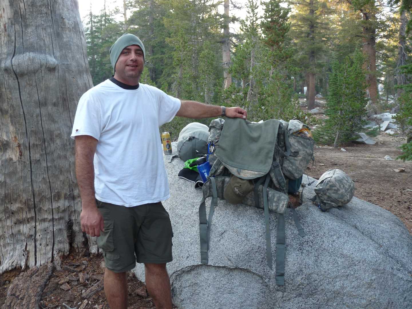
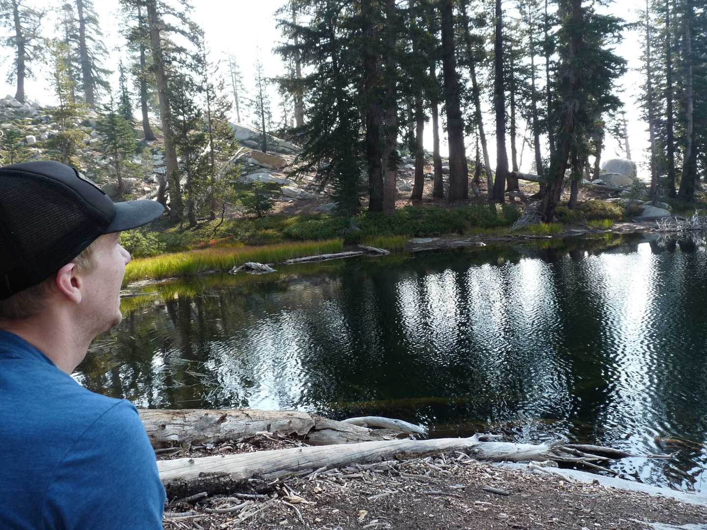
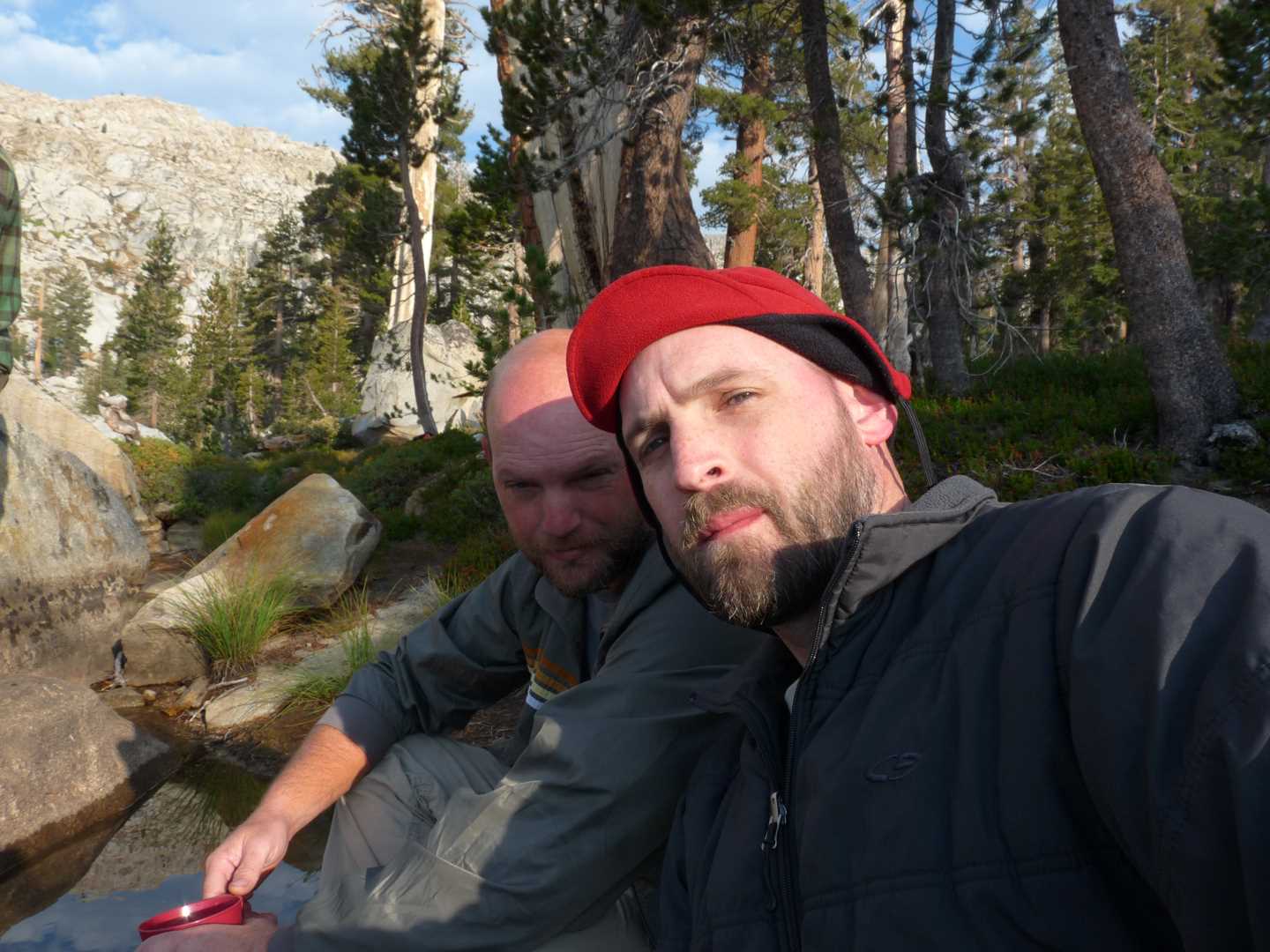
Jackass lakes is one of those areas I never wanted to visit because I always thought it would be to easy to get to and overrun with tourists. Now that I am pushing 39, it seemed like a good fit for someone who hasn’t been on the trail in a while. This year, there were 5 of us attending the trip – Chris, Chris, Jason, John and Adam. All of us have been on this annul trips before, but this was Johns first backcountry trip.
We all met at Adams house and piled in the truck. The road to the Jackass trailhead takes us up highway 41, to Bass Lake and then up Beashore road. From Adams house to the trailhead, it took about 2 hours as Beashore road isn’t in the best condition. Once we arrive at the trailhead, we eat some lunch, throw on our packs and start hiking.
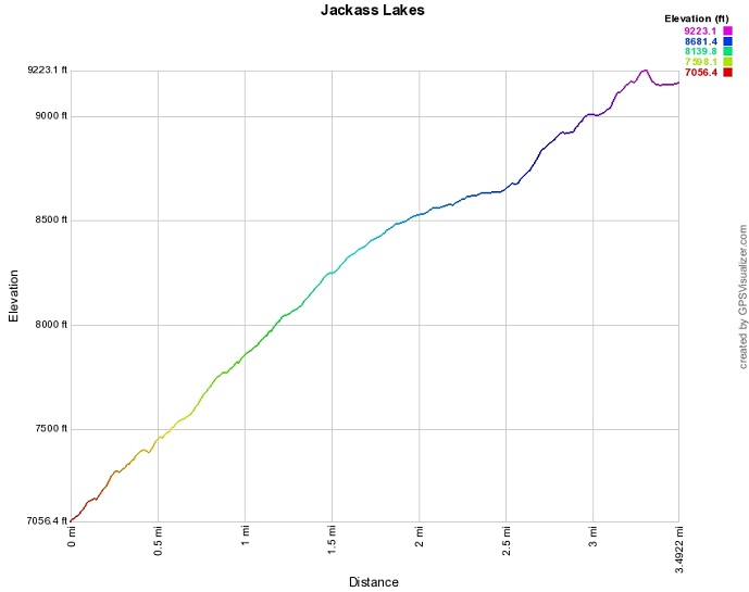
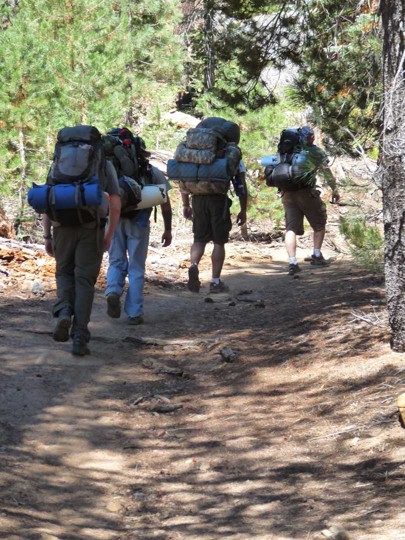
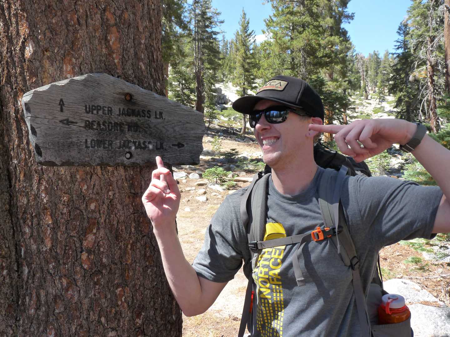
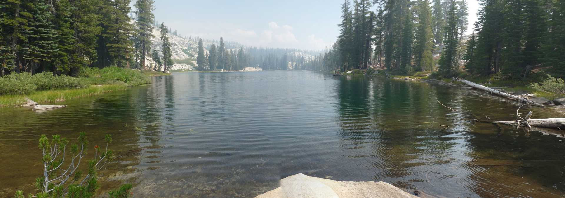
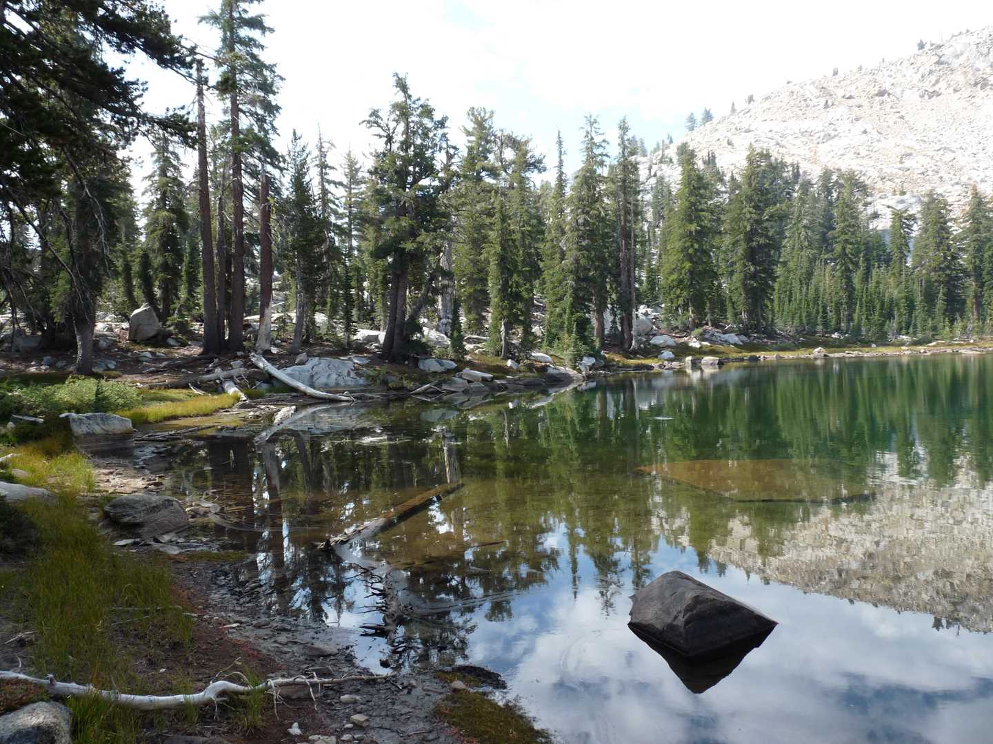
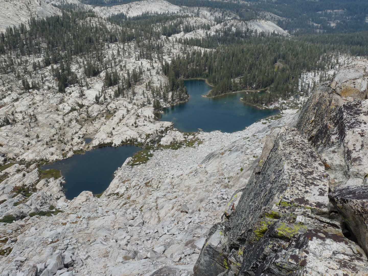
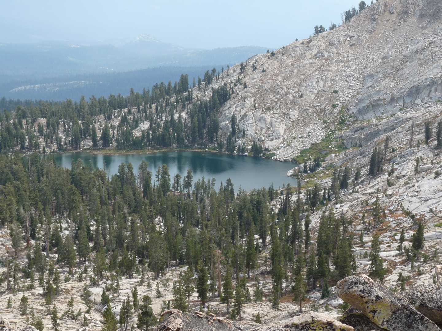
The trail is pretty much straight up the whole way. Being only 3.5 miles to the Upper Jackass lake made it manageable. We didn’t visit Lower Jackass on the way in as it was off of the main trail. Instead, we continued on to the middle lake where we took a 20 minute break before heading the rest of the way to Upper Jackass.
The trail from middle lake to upper lake is incredibly hard to follow as there is no official trail. You need to look for trail markers the whole way which are hard to discover just by looking. At most times, we just gave up on the official route and cross-countied up the side of the mountain.
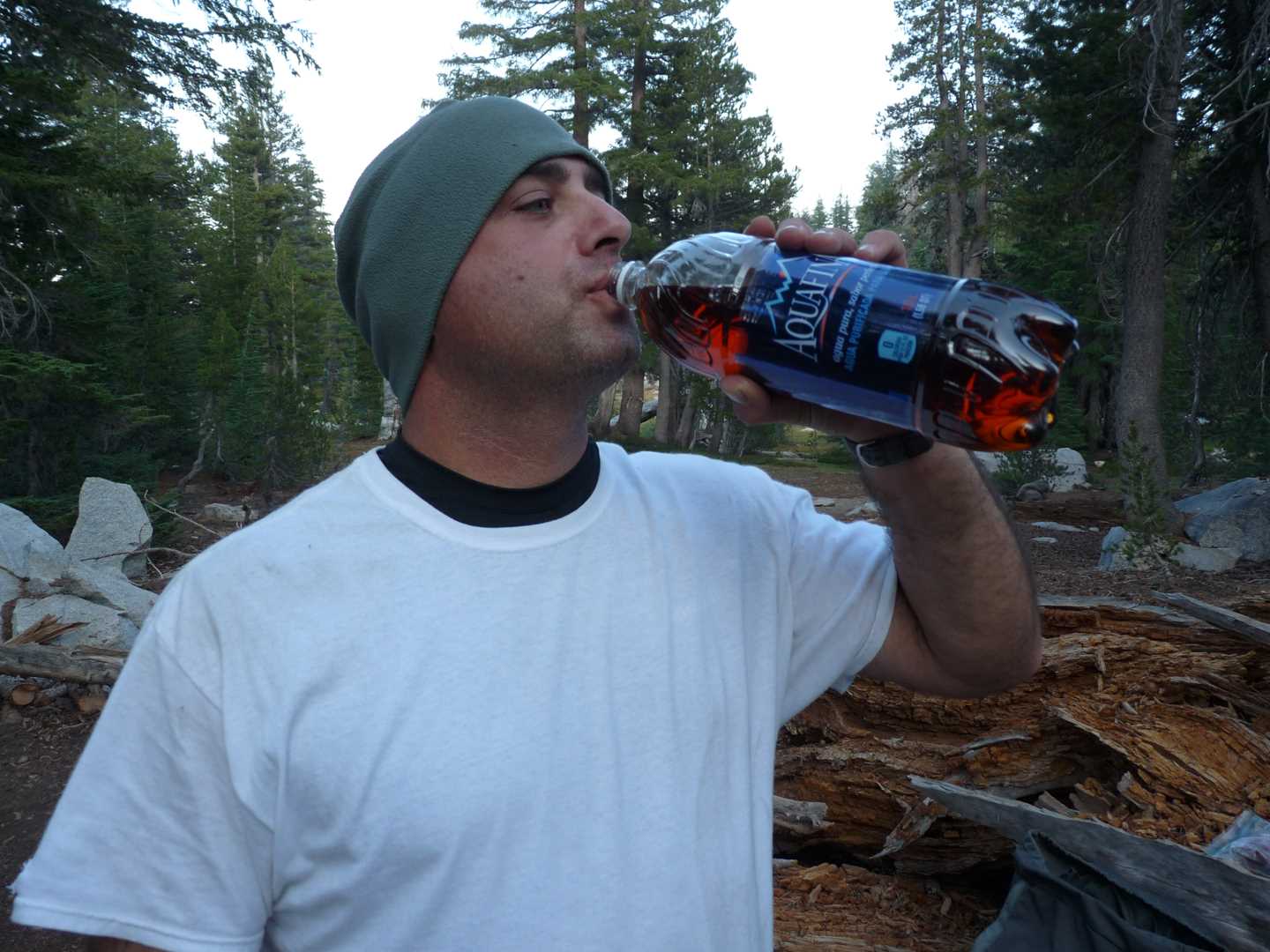
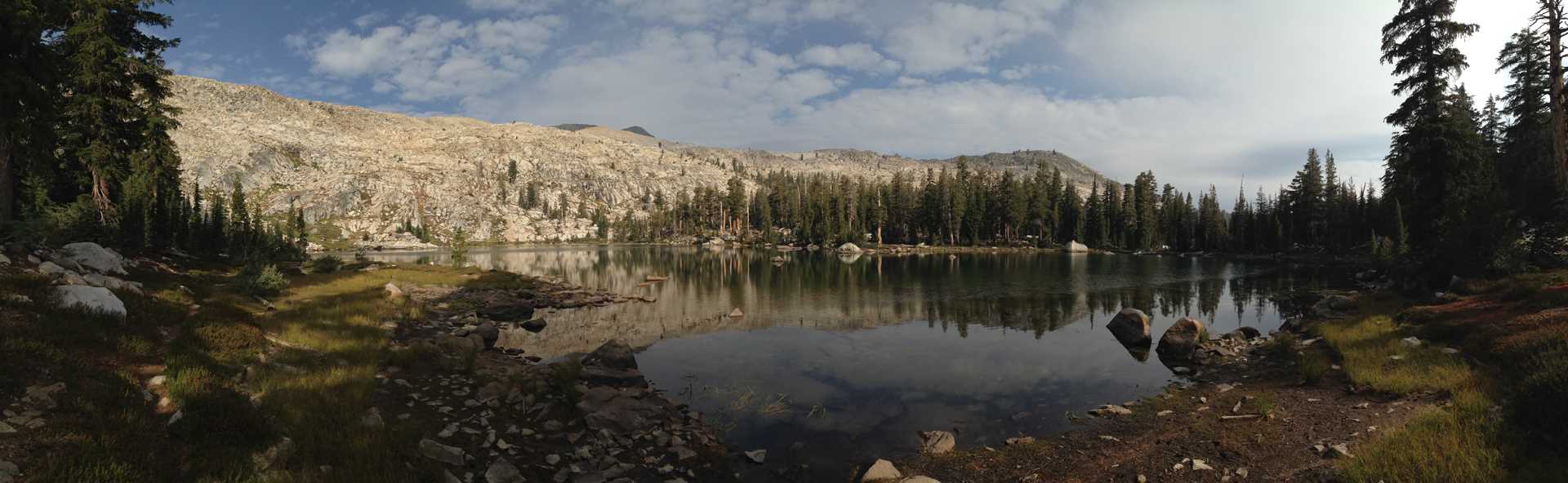
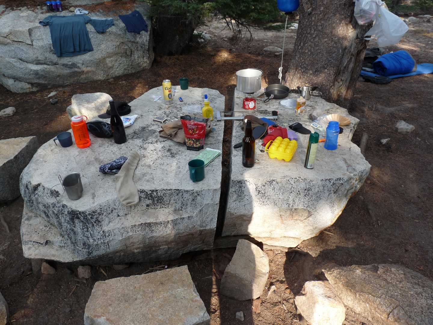
After arriving at Upper Jackass lake, we found a spot to setup camp. We then relaxed the rest of the day. That night we had steak and potato’s for dinner.
Day 2 – Fish the lakes
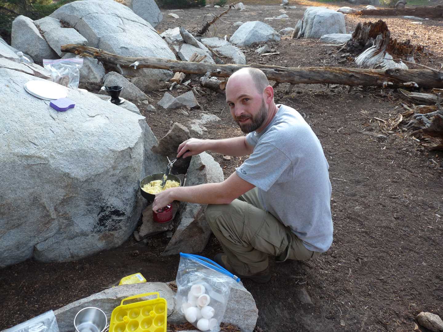
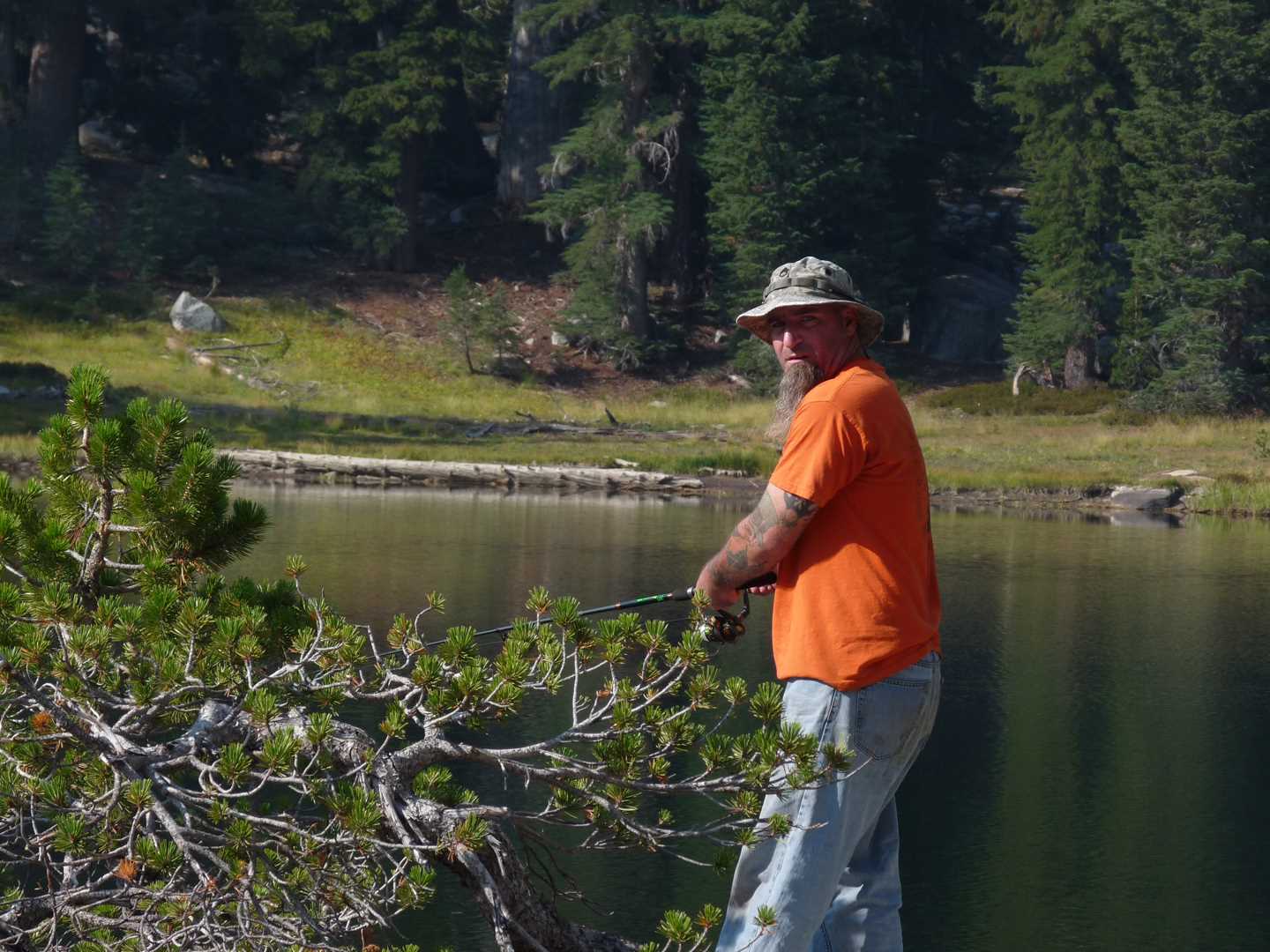
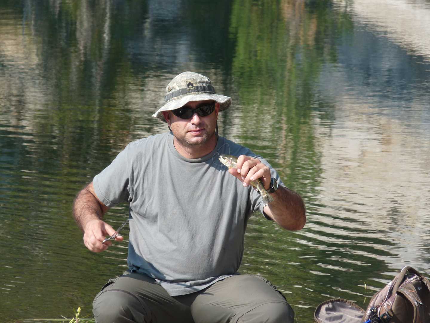
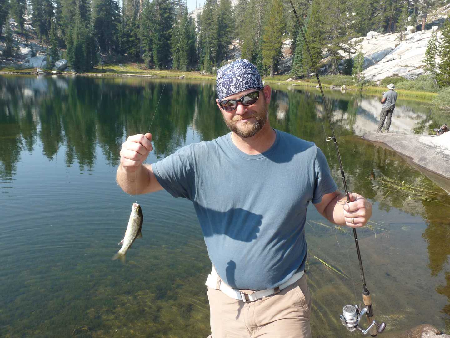
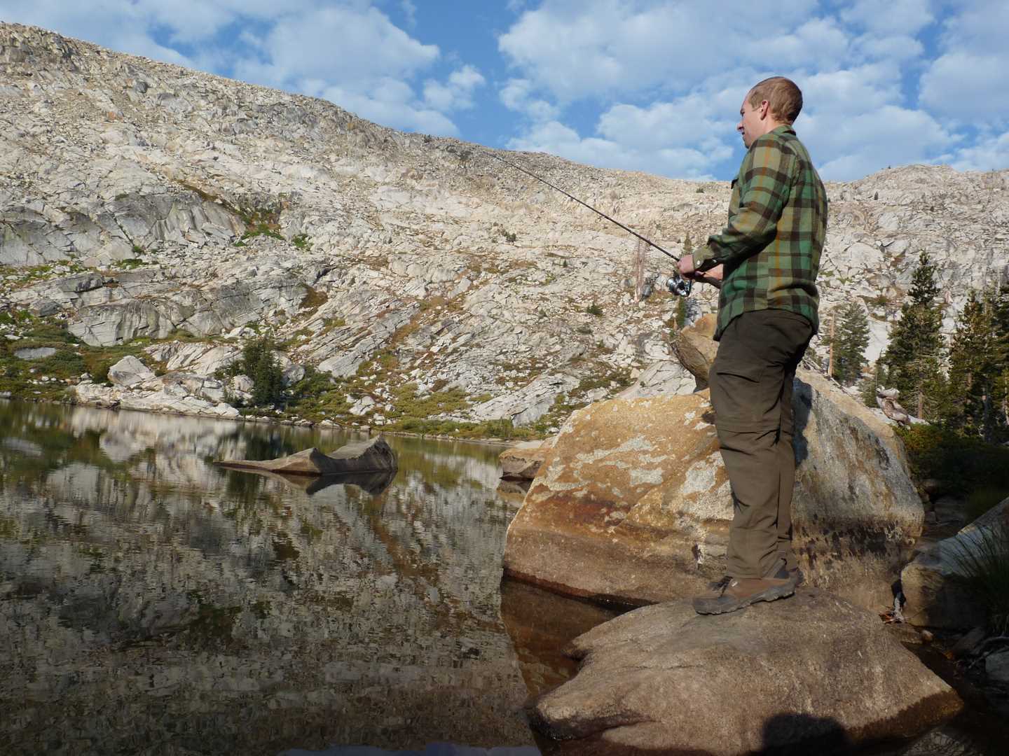
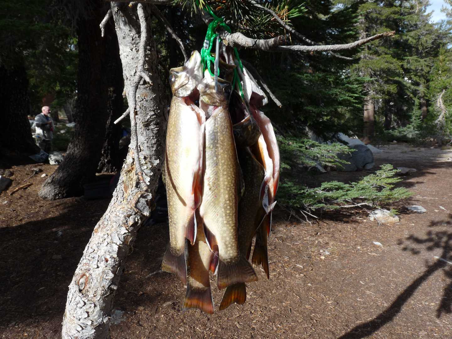
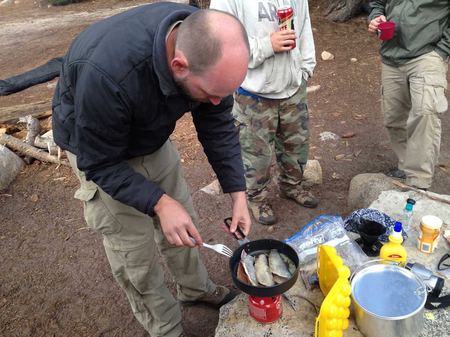
One of the big daily events while on the pack trip is to fish. This year however, we will be doing it covered in smoke from the Rim Fire. There are three Jackass lakes that we needed to fish so we started at the middle lake. After the middle lake, we moved on to the lower lake and then back to the upper lake were we finished up the day. We had success fishing all the lakes. Also, the premier campsite that someone else was staying at opened up so we moved our camp. That night we had spaghetti and garlic bread for dinner.
Day 3 – Climb the peak
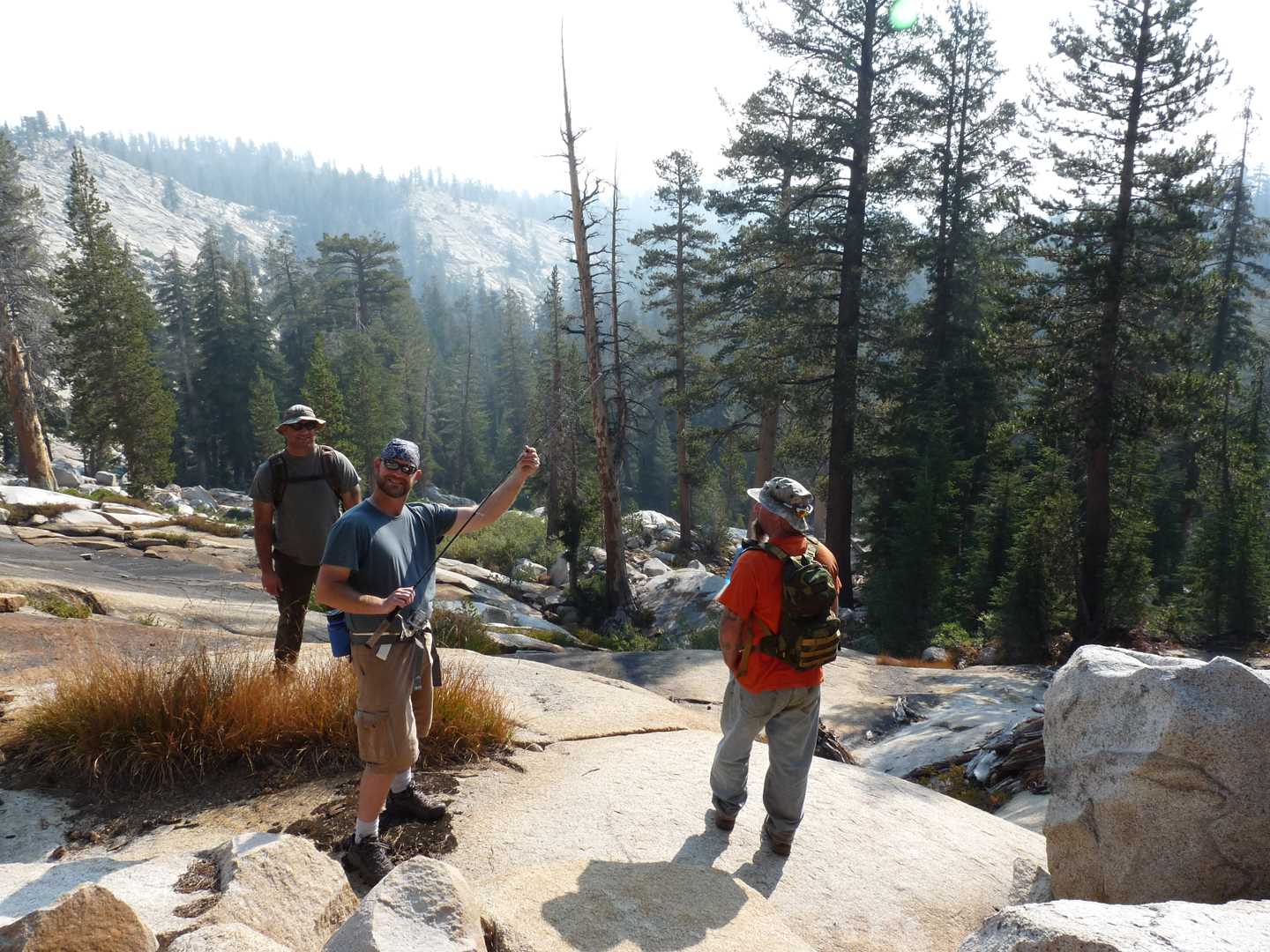
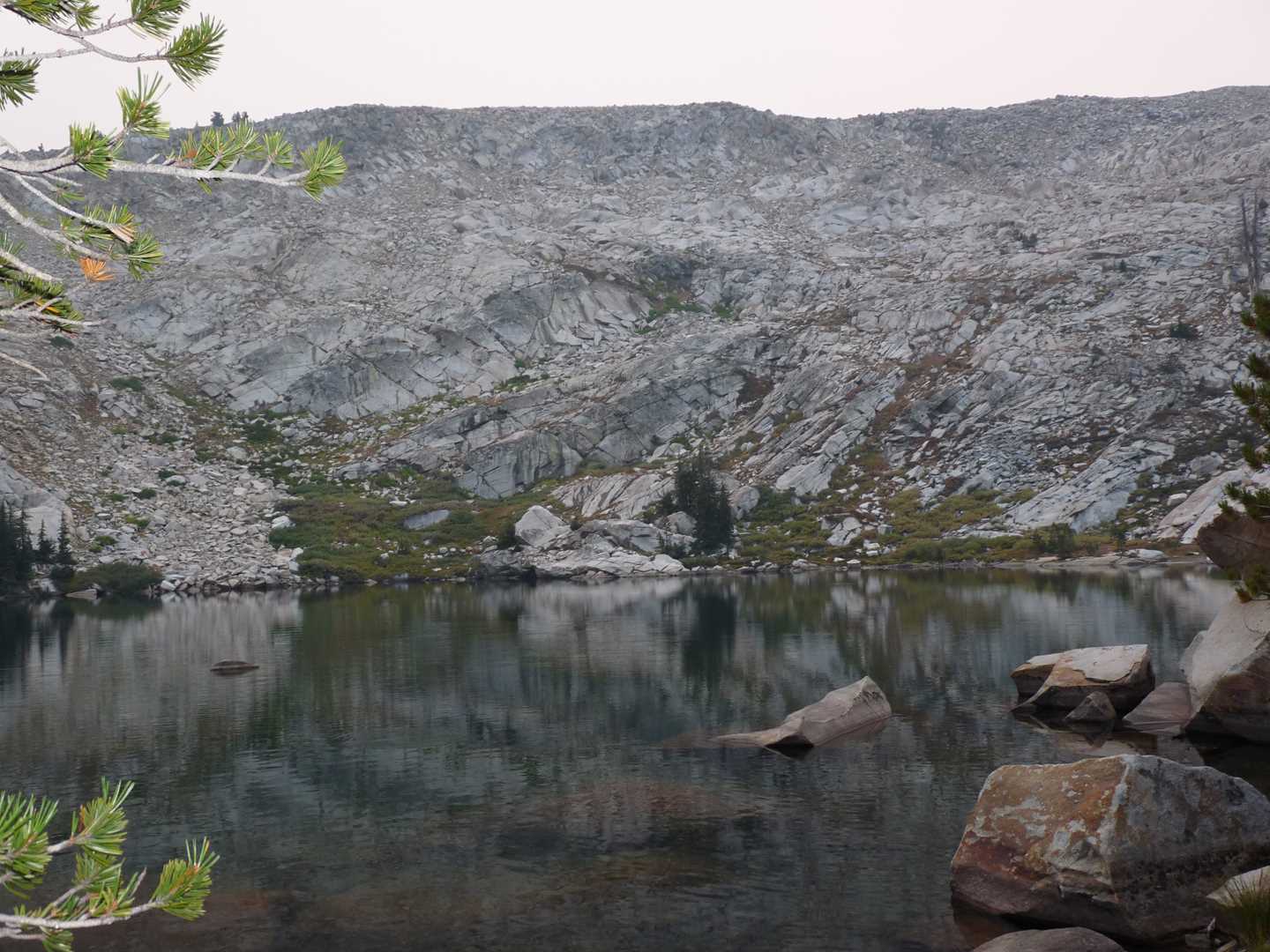
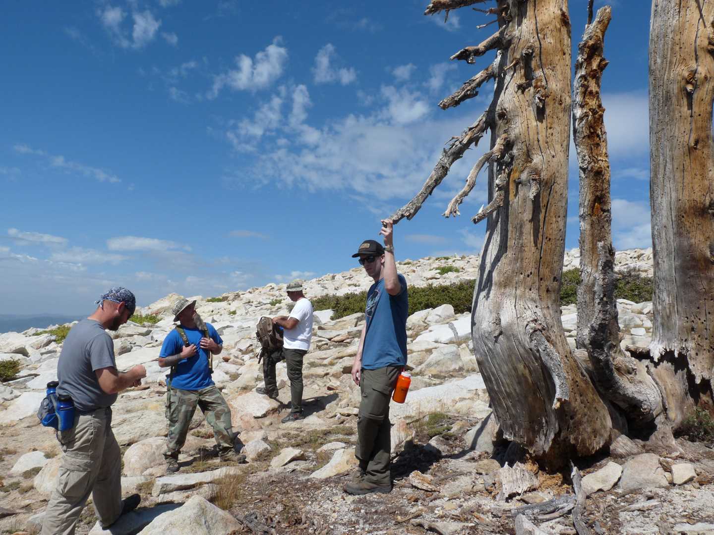
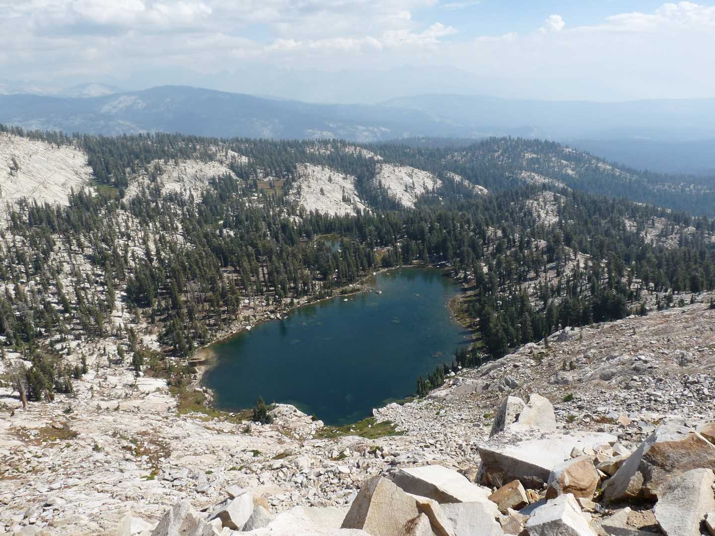
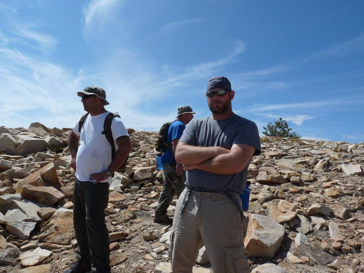
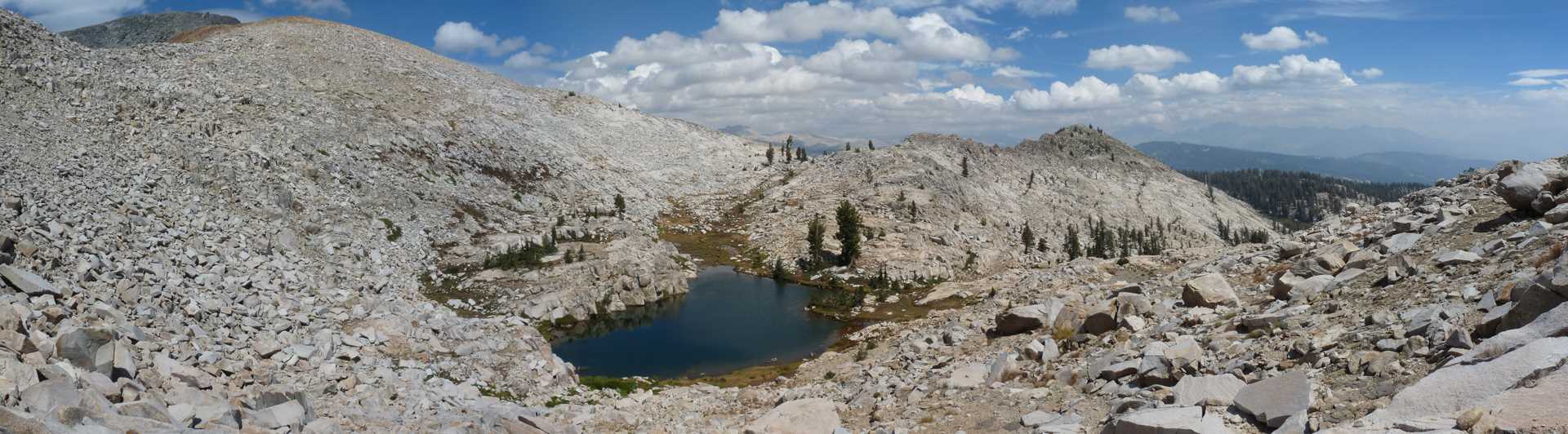
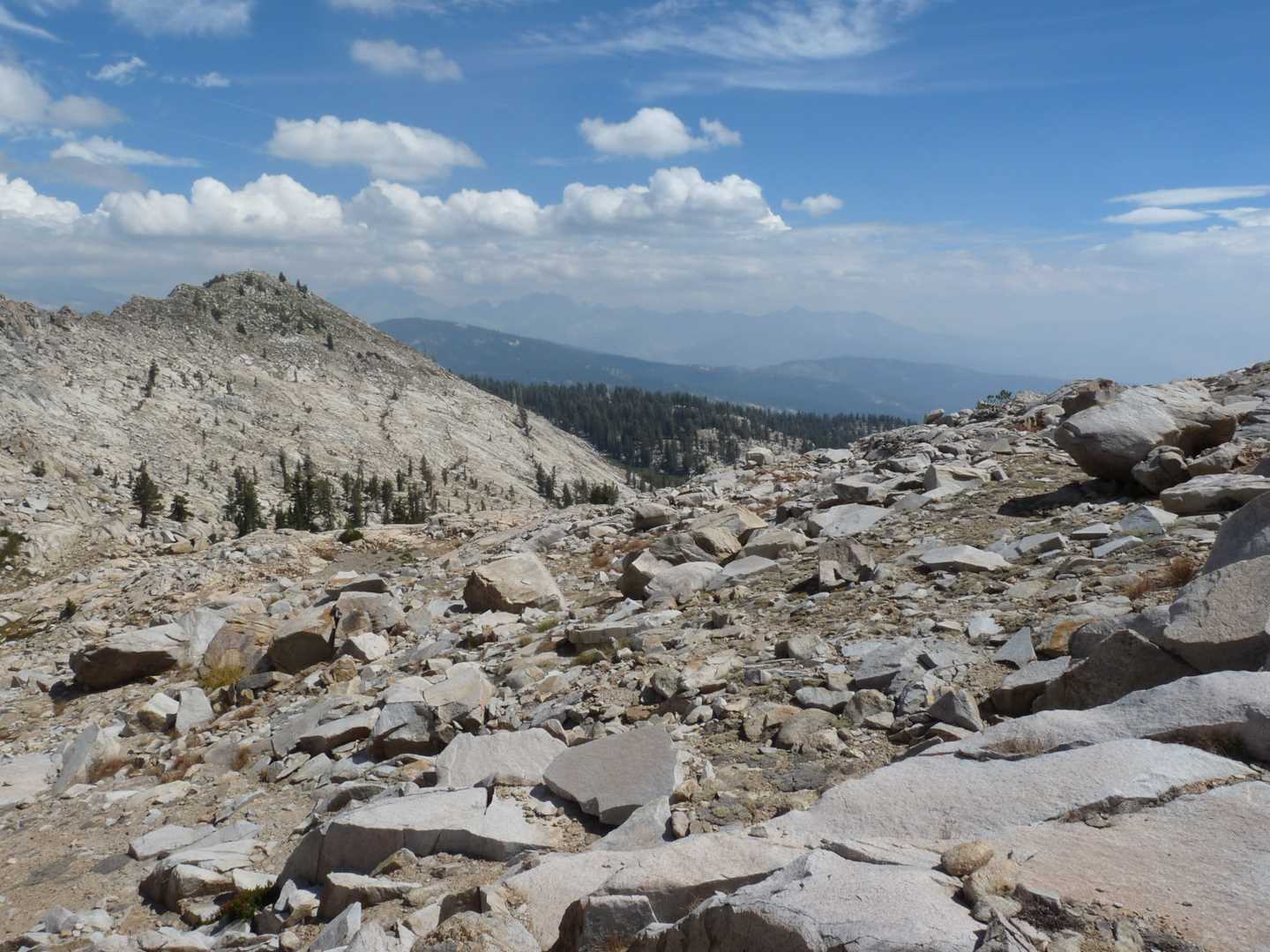
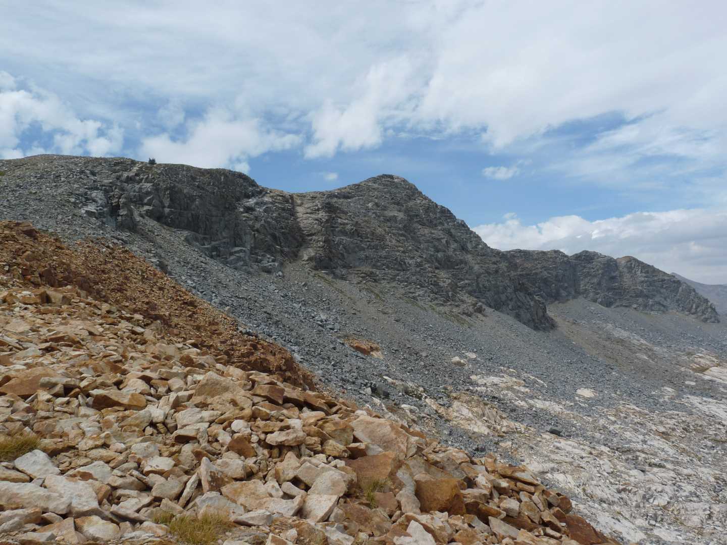
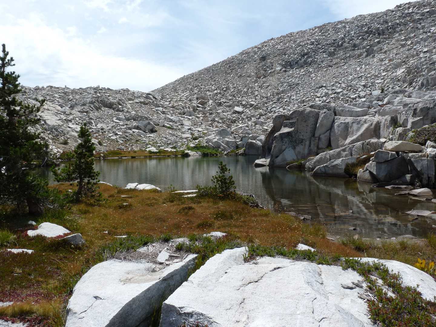
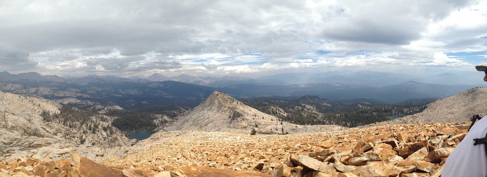
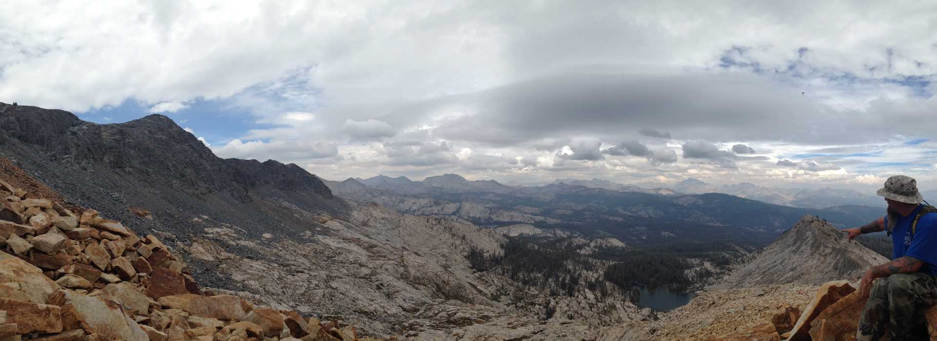
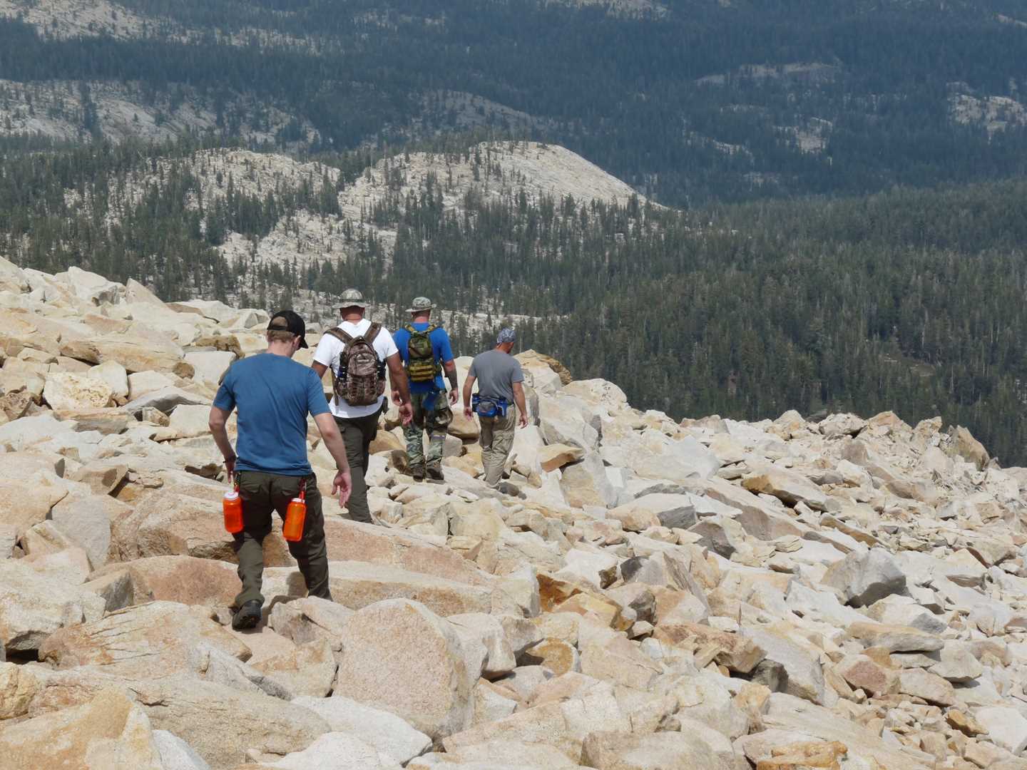
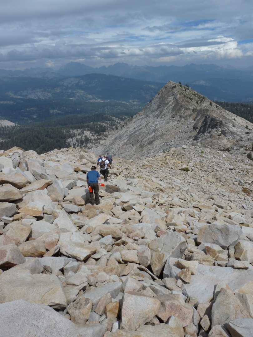
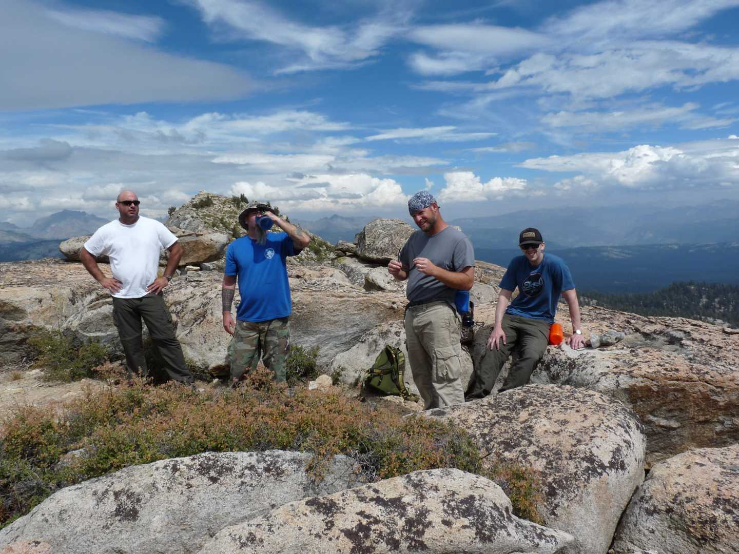
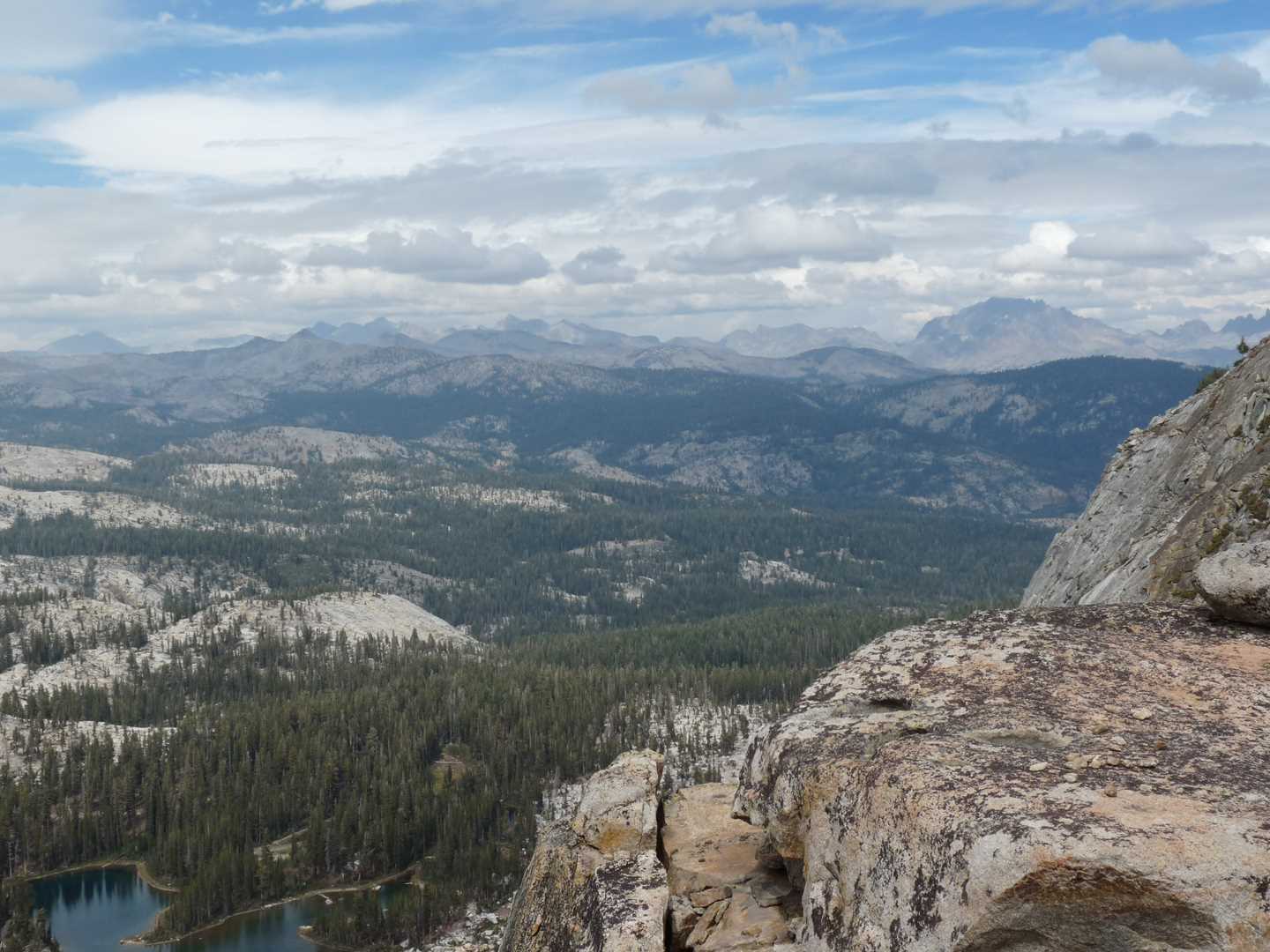
Our goal this year was to climb Madera Peak. It is about two miles from Upper Jackass. There were two approaches to get to Madera Peak. The route that we thought would be easiest was also the longest and the rockiest. We hooked around the left side of Upper Jackass lake to the top of the ridge and then followed the ridge towards Madera Peak. On the way to Madera Peak, we found a little watering hole named Burro Lake. We stopped there to eat lunch and fill up on water. After eating we headed back up towards the peak but had to stop short about ½ mile as it started raining. In fear of being caught on the slick rocks, we decided to head back to camp. Although we didn’t reach the peak, we did get high enough to get a 360 view of the surrounding area. We ate fish from the lake and rice that night.
Day 4 – Hike out
We left camp about 10:00 am. Driving down the hill is very quit as I think the guys are bummed that we are leaving. Until next year.
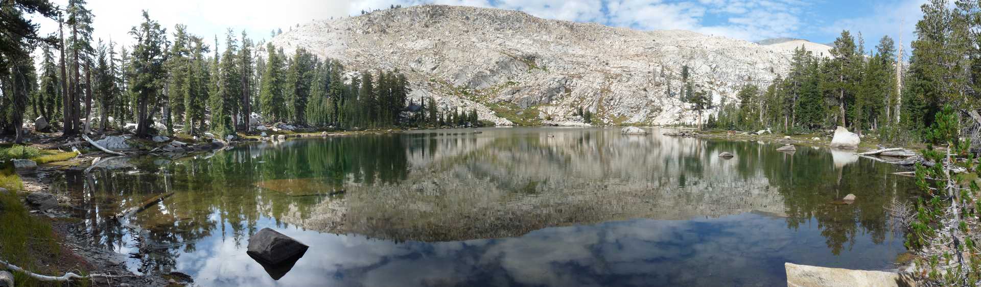
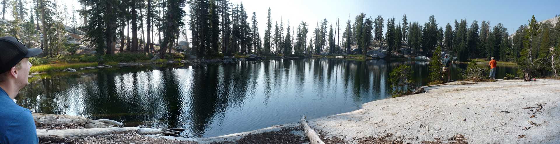
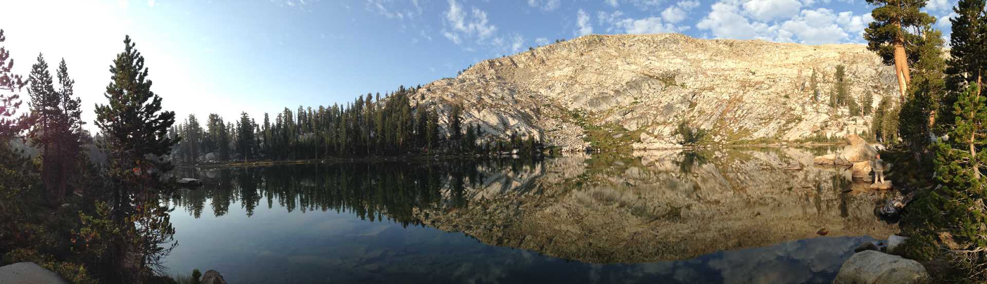
This is a 360 degree panorama image. Just click on the image and drag your mouse. Shift and Ctrl to zoom in and out.