Hell for Sure 2017
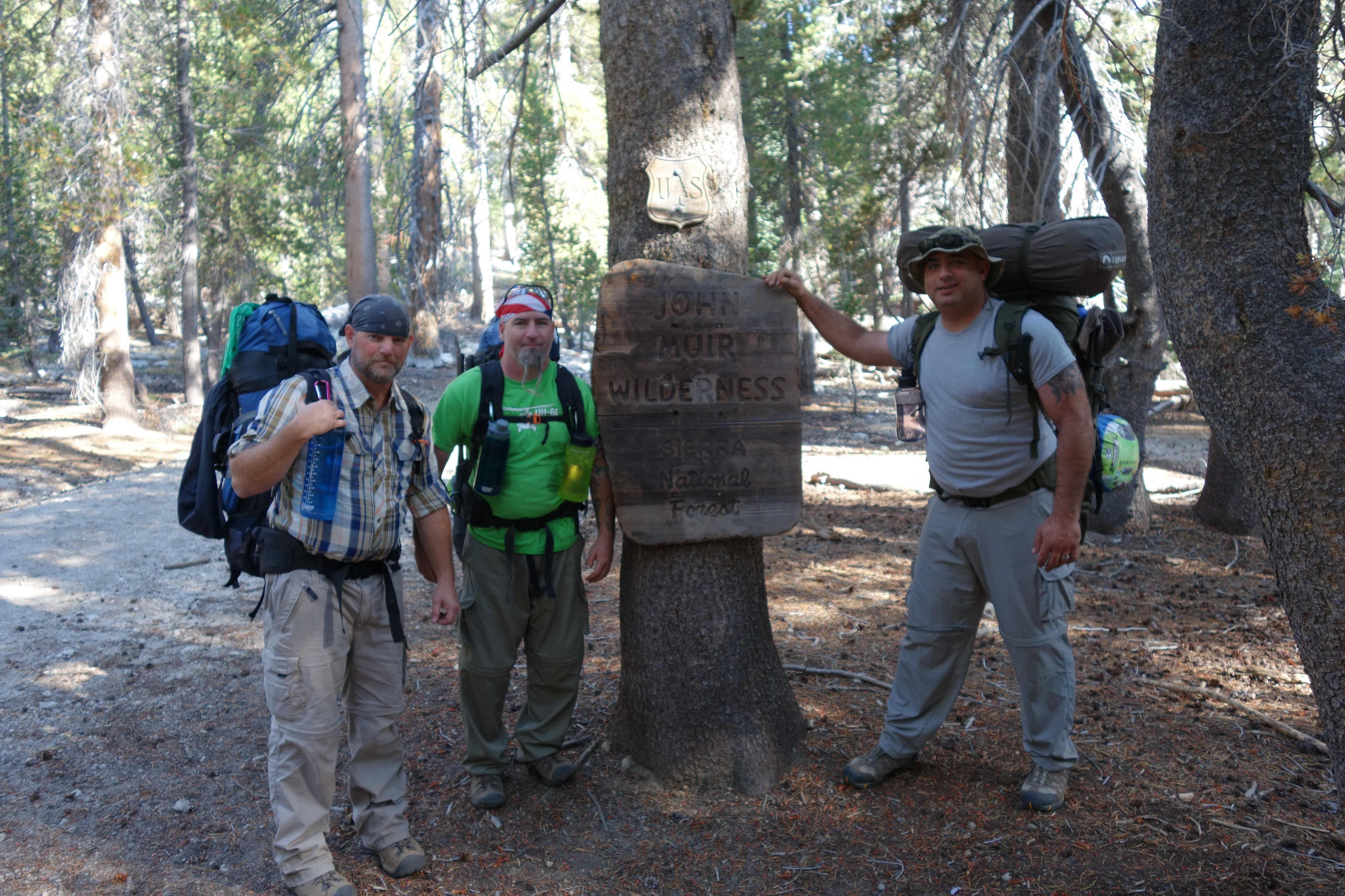
Wilderness: John Muir Wilderness
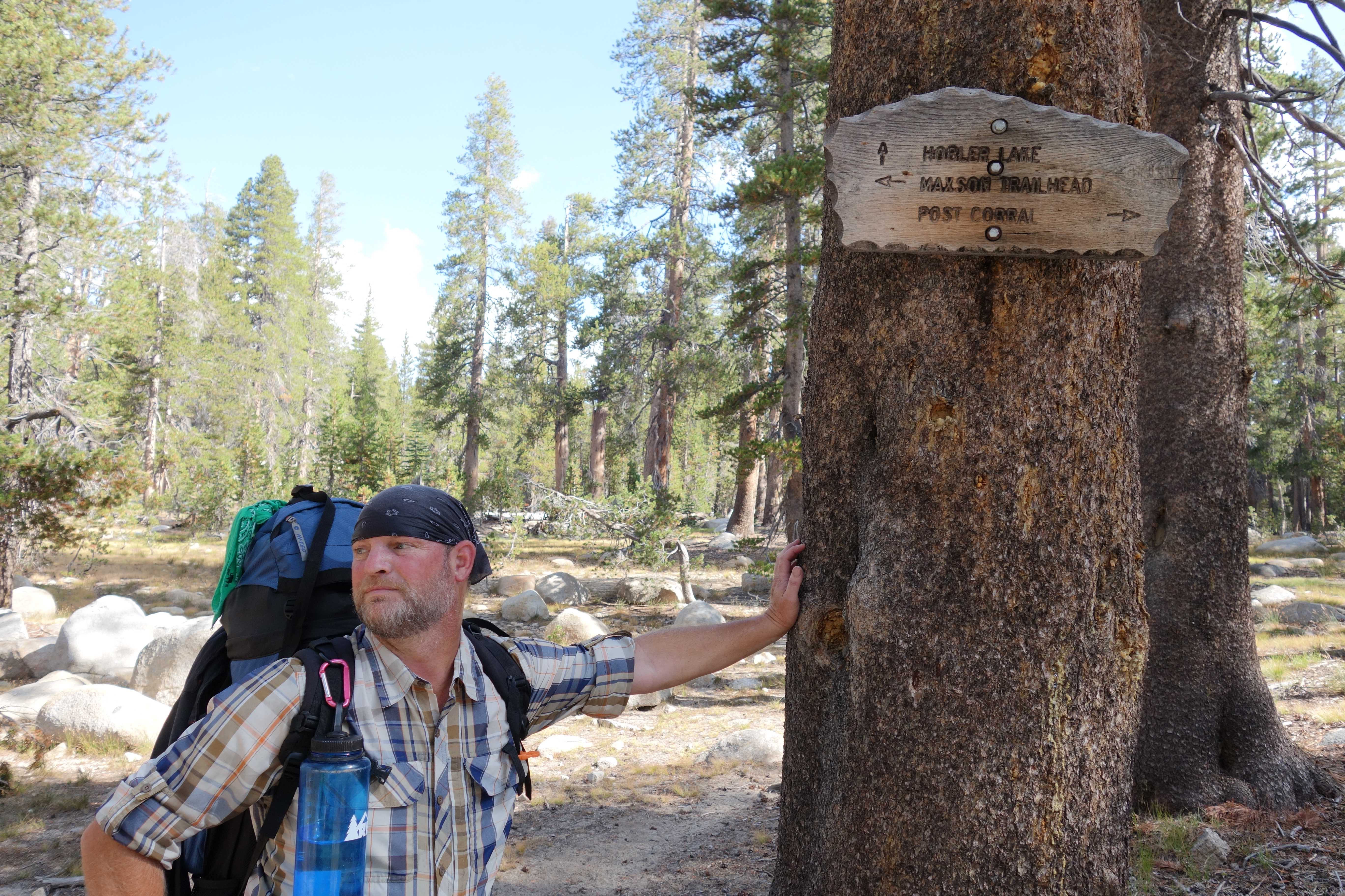
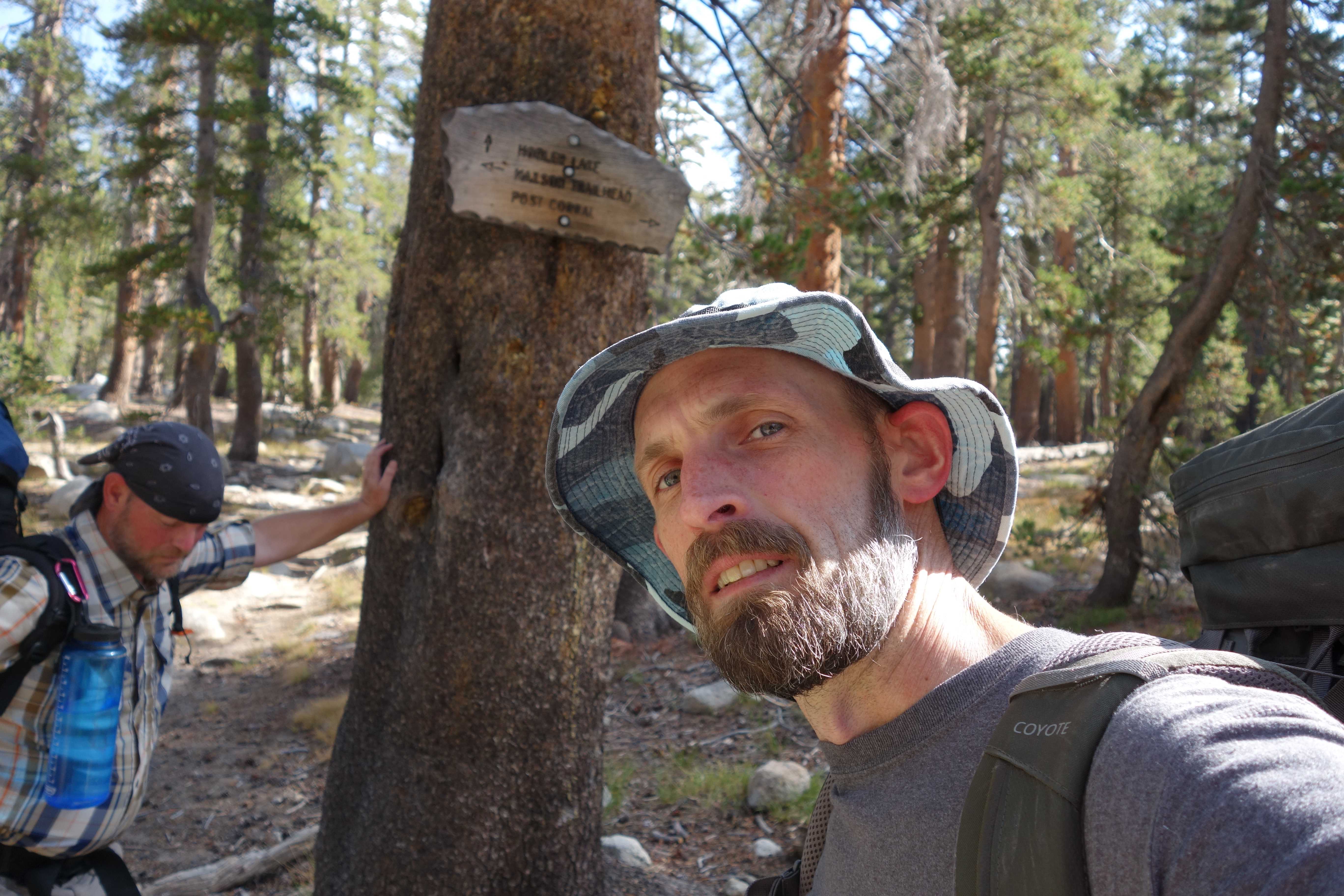
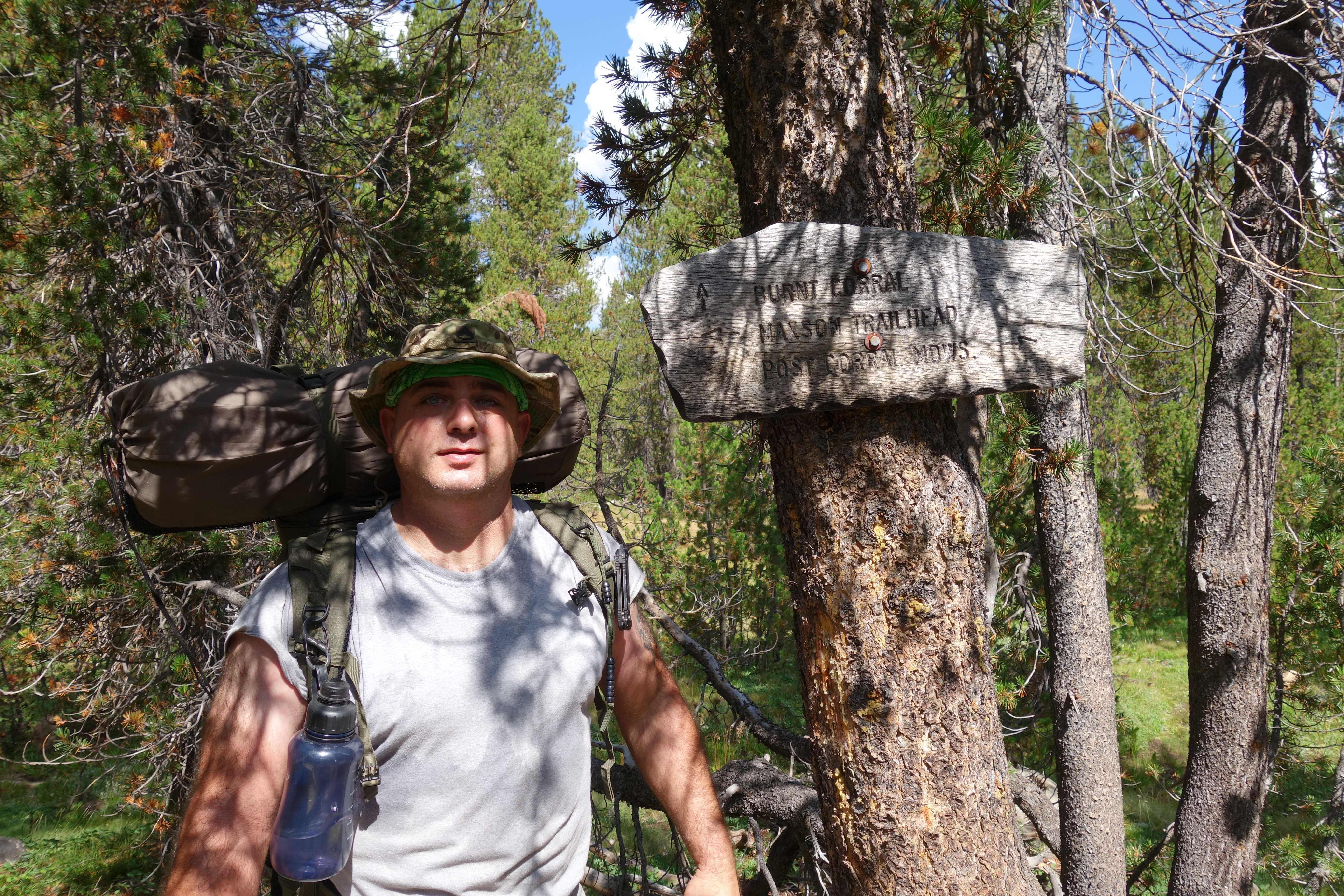
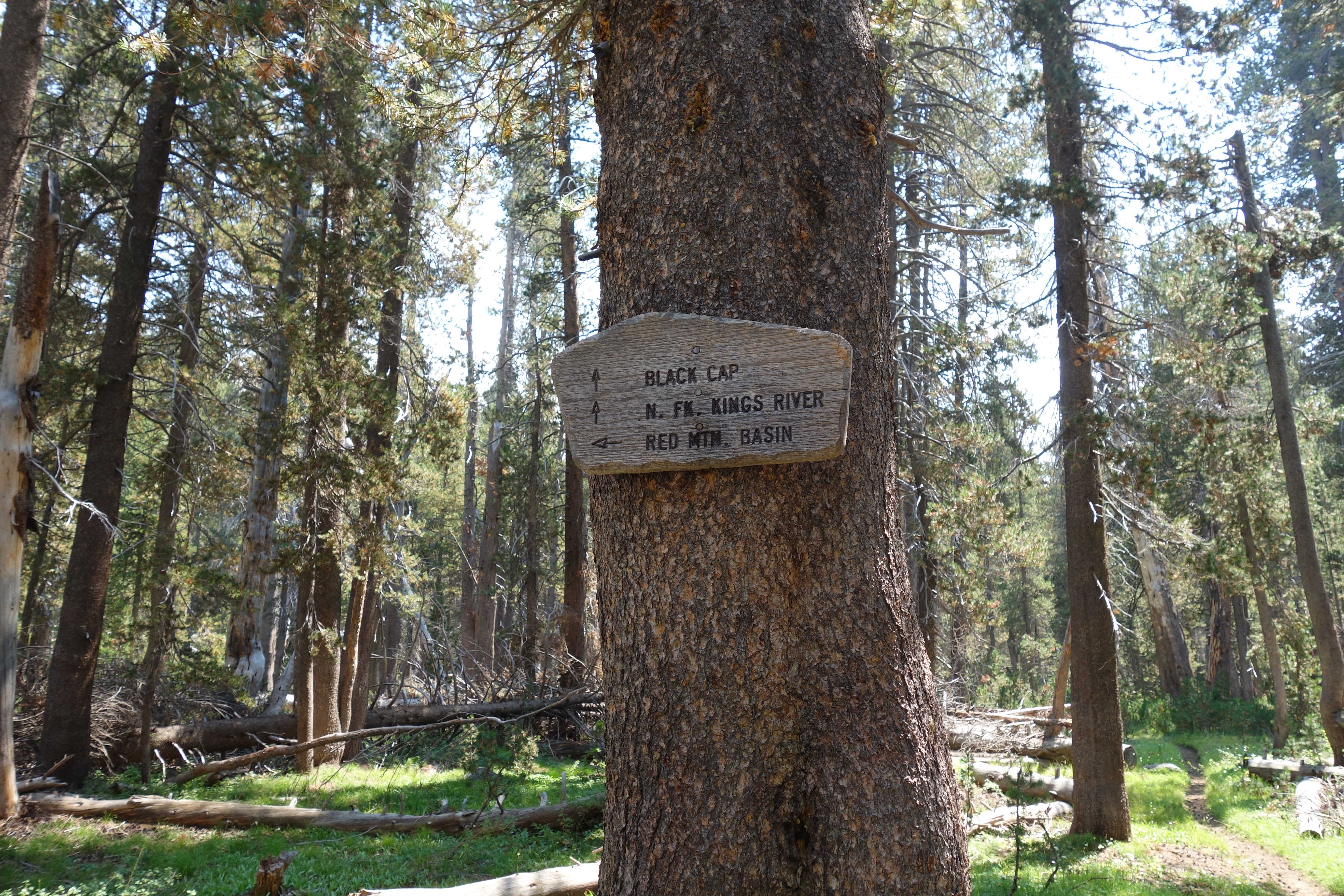
Trail System: Maxon Trail
Latitude: 37.0842
Longitude: 118.5106
Elevation: 9,740Feet
Google earth KML – Hell for Sure, Trail Head to Fleming
Google earth KML – Hell for Sure Day 3
Google earth KML – Hell for Sure Day 4
Google earth KML – Hell for Sure (Entire Trip)
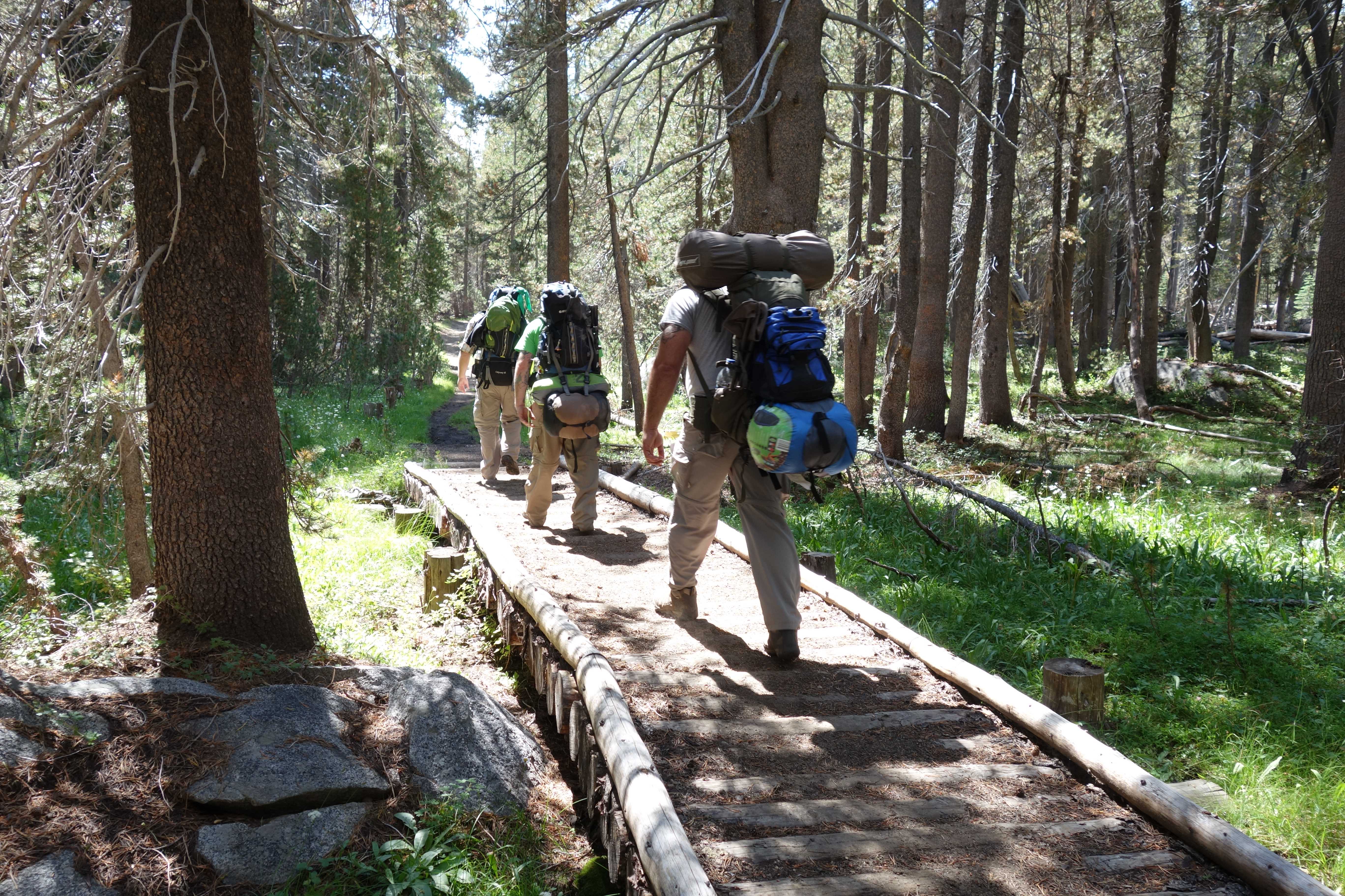
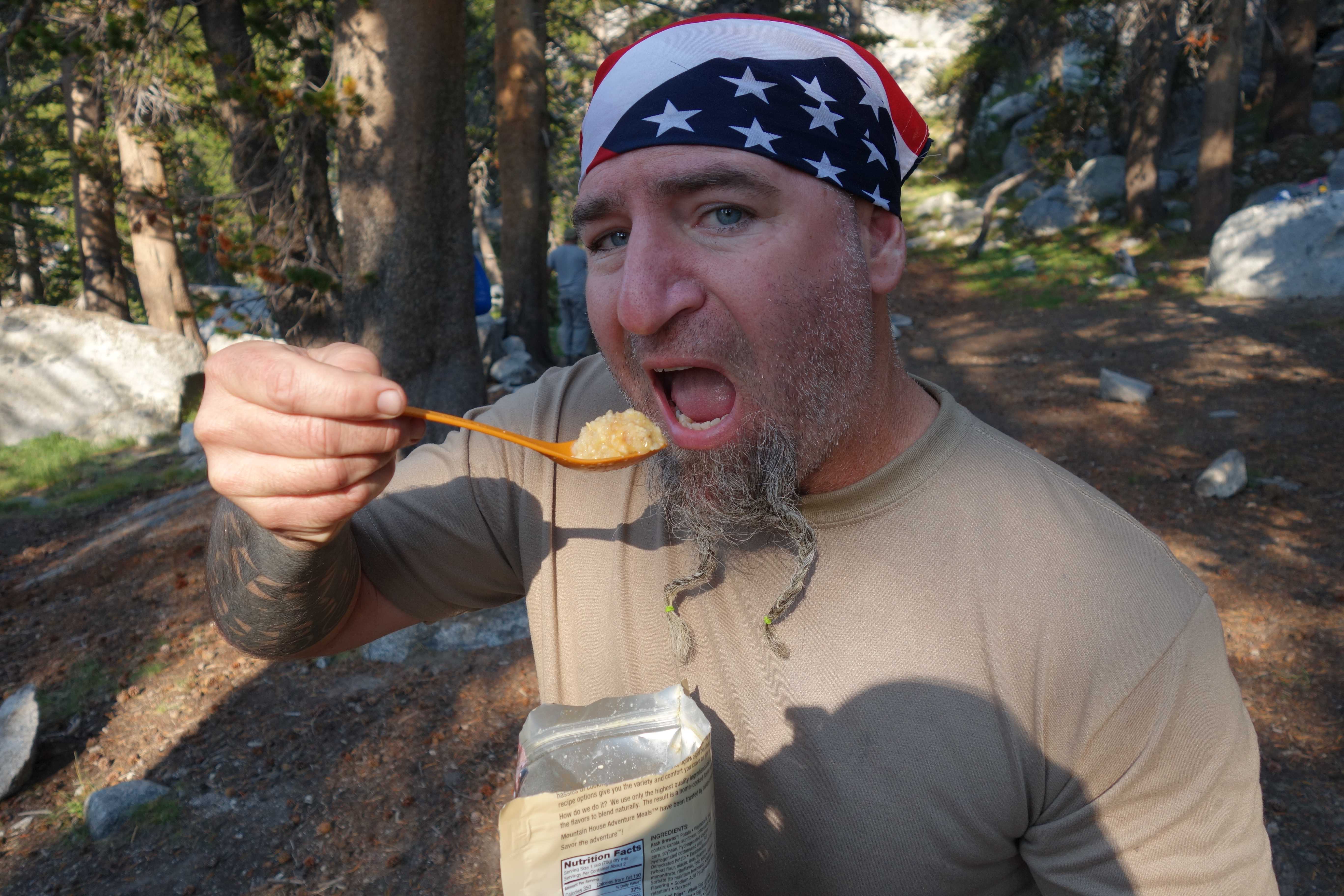
Taken During the Hike Out:
Trip Time: 4 hours, 54 minutes
Moving Ave.: 2.5 mph
Trip Distance: 10.4 miles
Time Moving: 4 hours, 9 minutes
Day 1 – Hike in
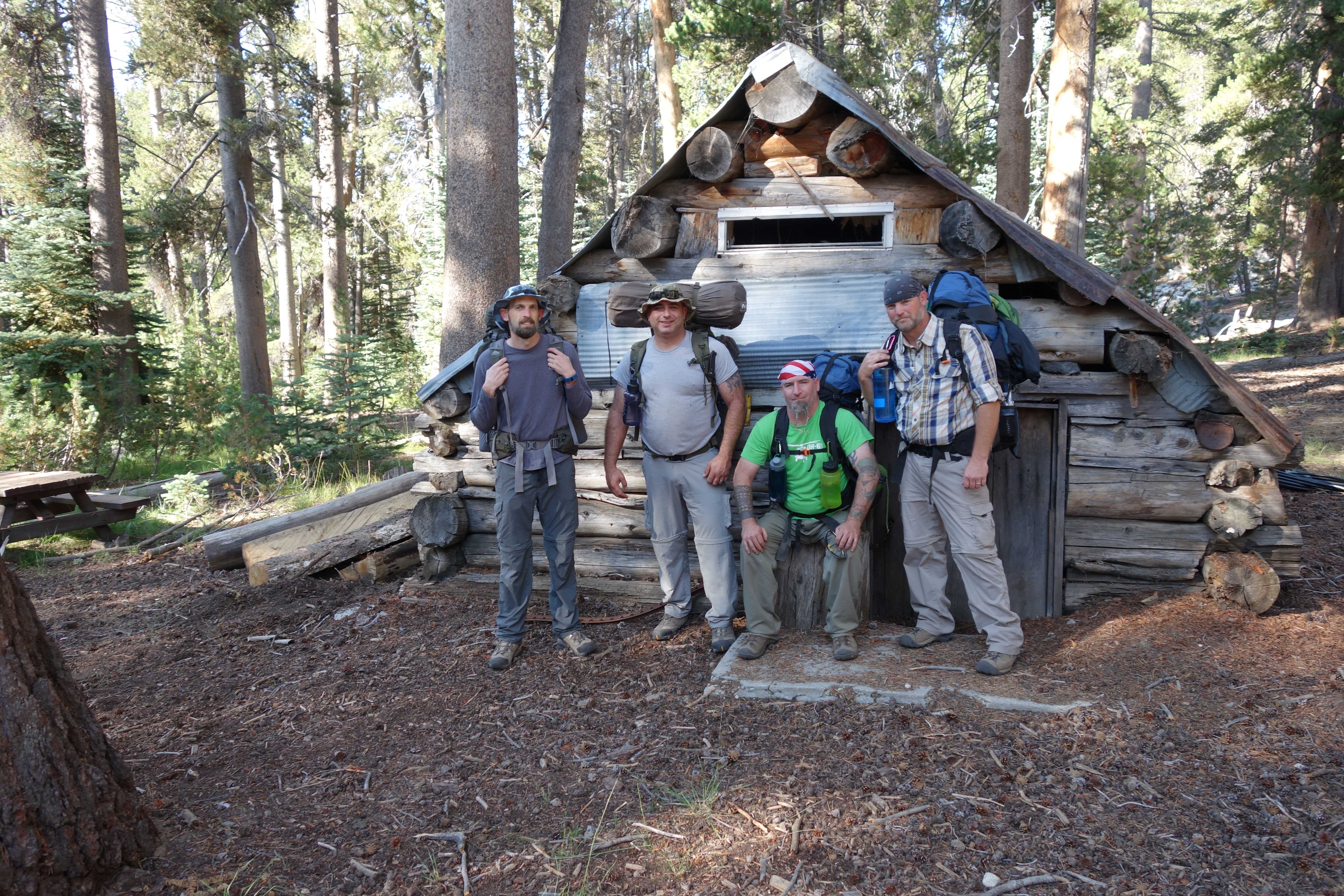
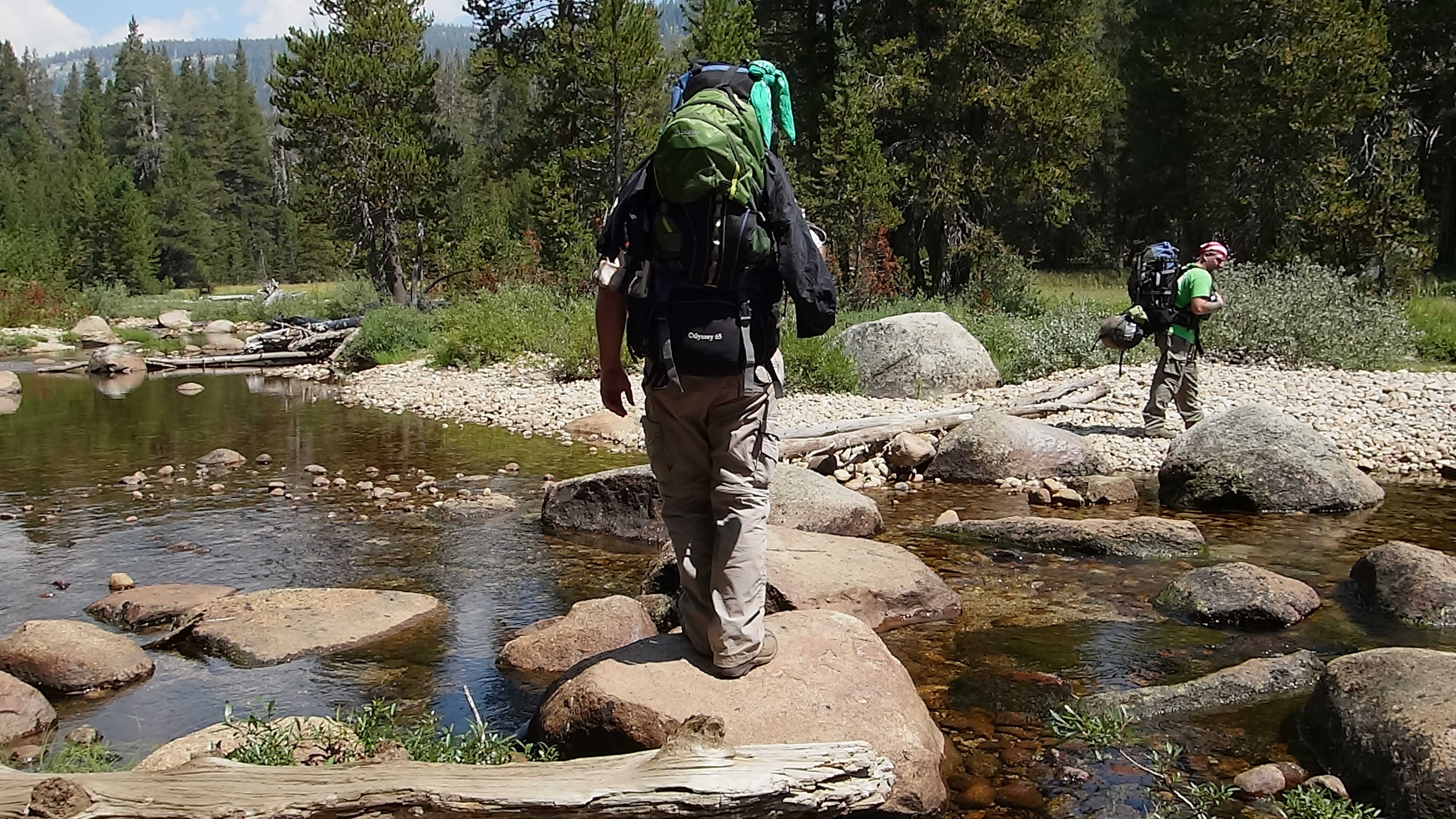
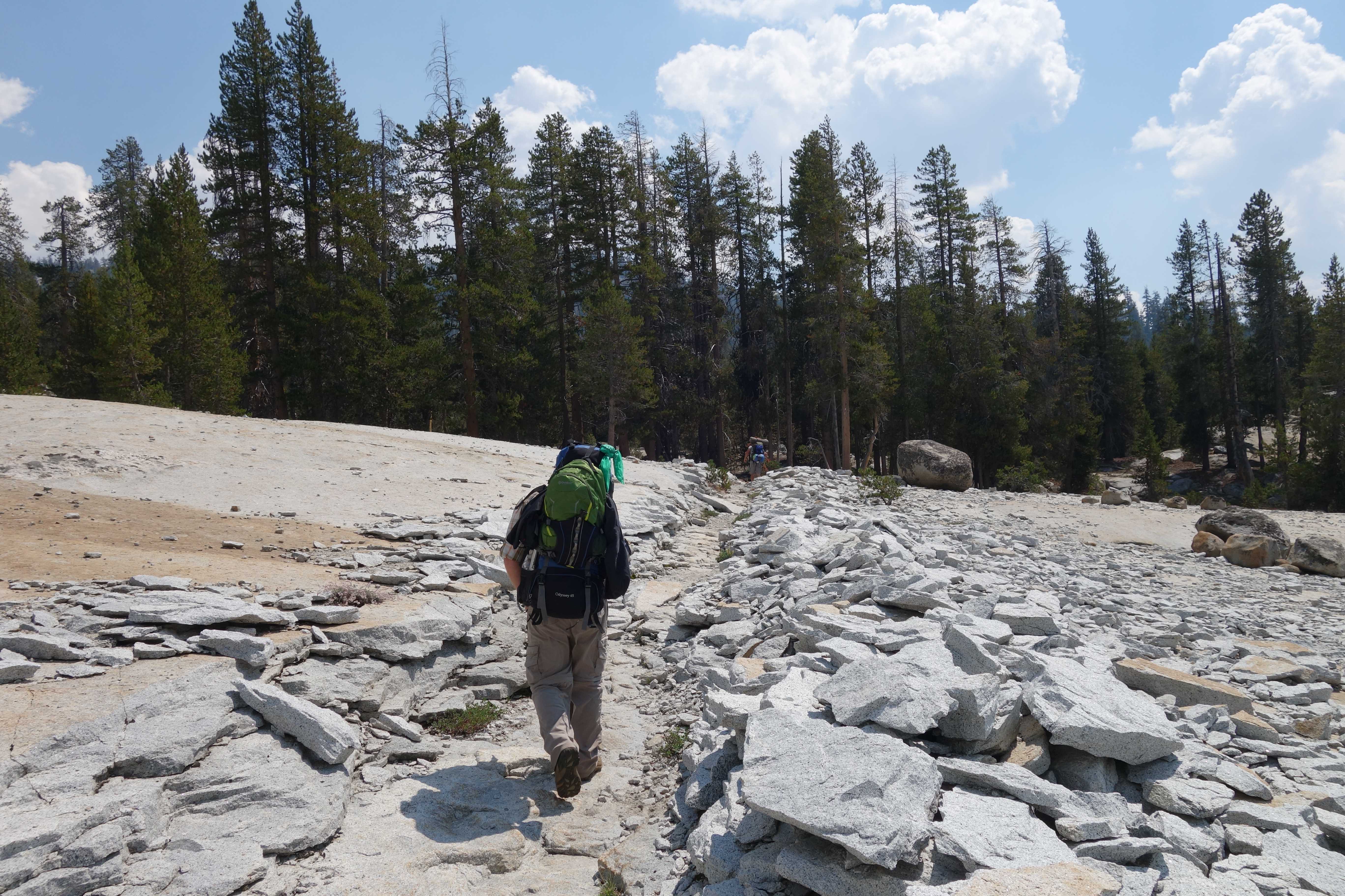
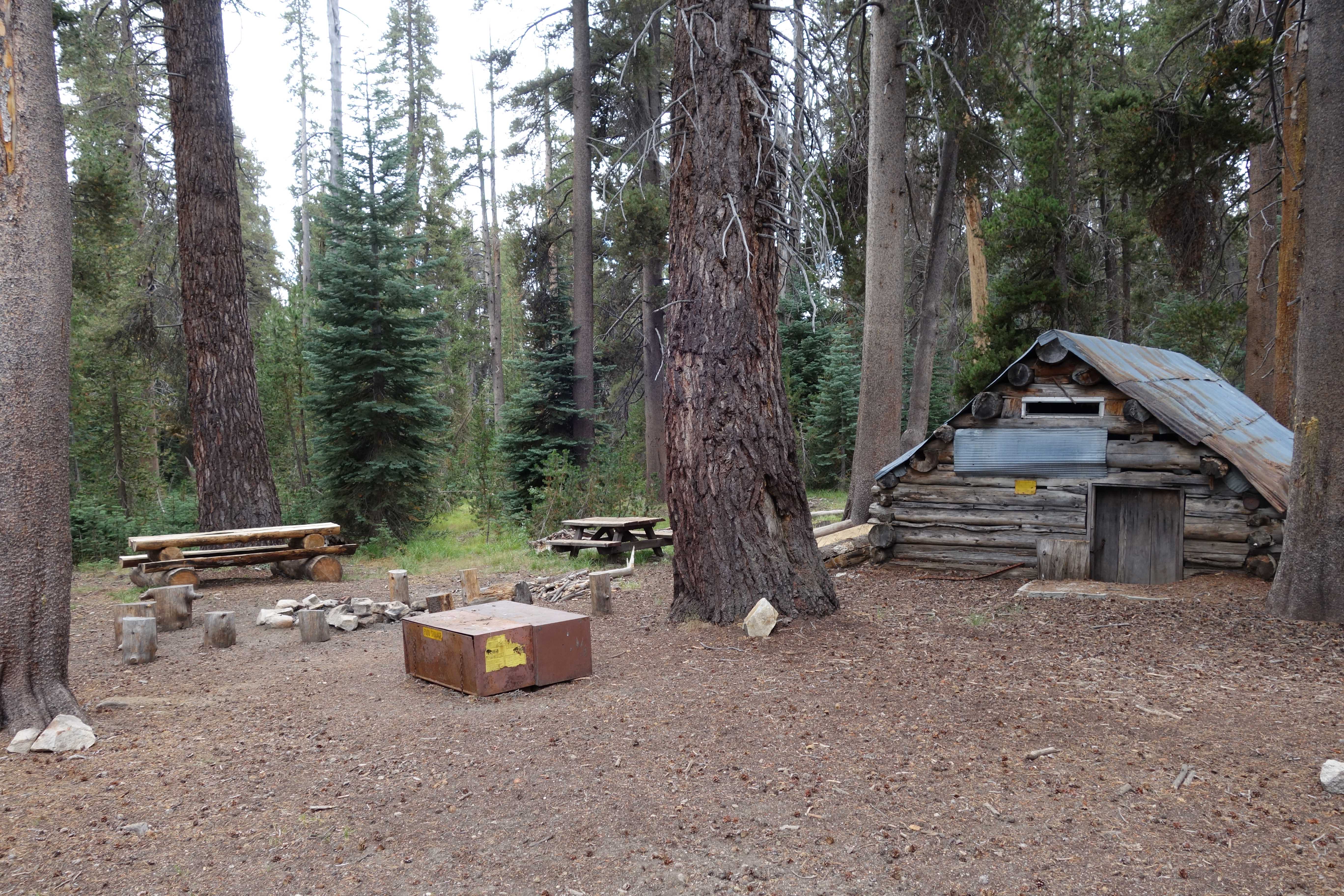
From Courtright, take the Dusey-Ershim 4×4 trail to Voyager Rock campground. Park your vehicle at the back and find an old metal gate laying on the ground. Follow the trail/road to Chamberlains camp where you meet up with the Maxon trail at the wilderness boundary. Leaving from Voyager shaves about 2 miles off your hike. If you are unable to drive to Voyager, you can park at the Dusey trail head and hike the 4×4 route until you meet up with the trail.
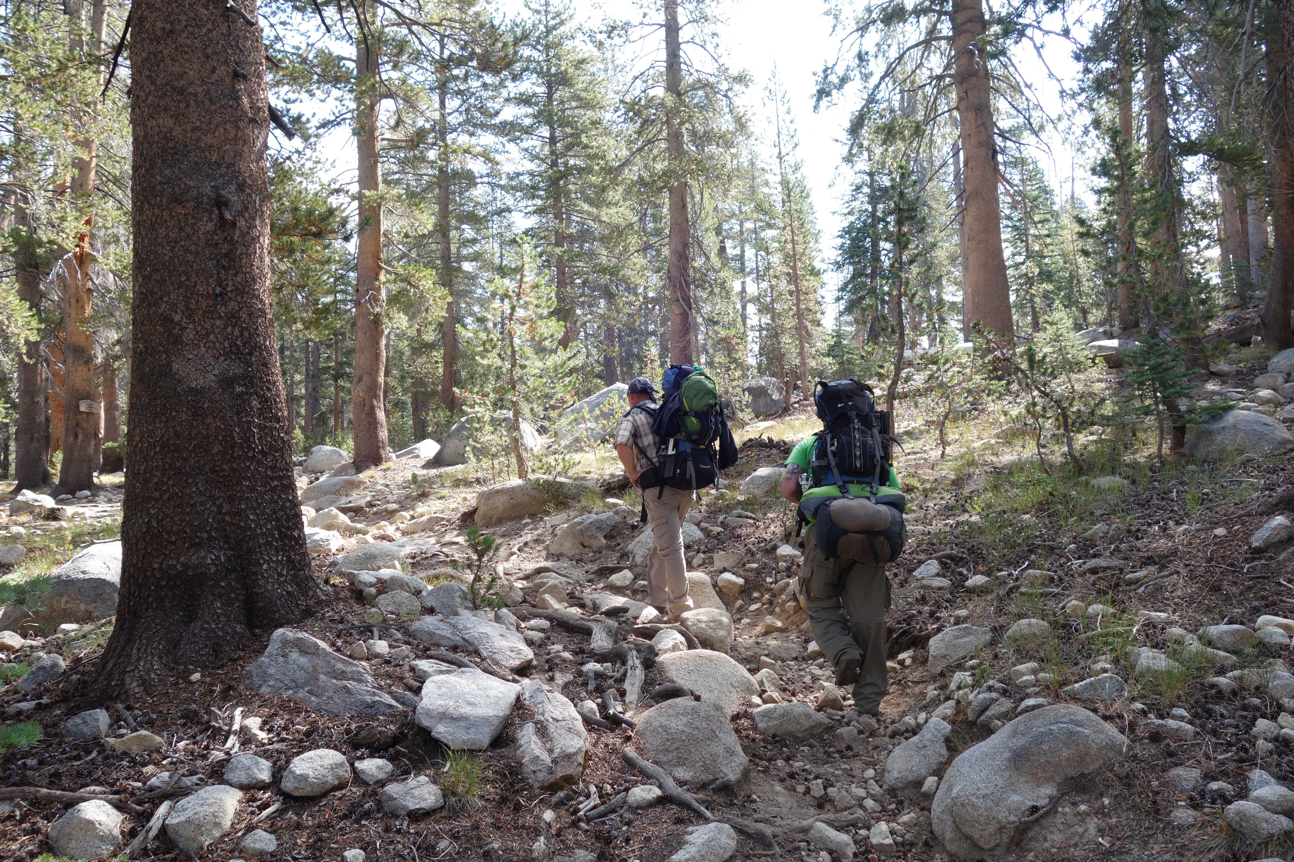
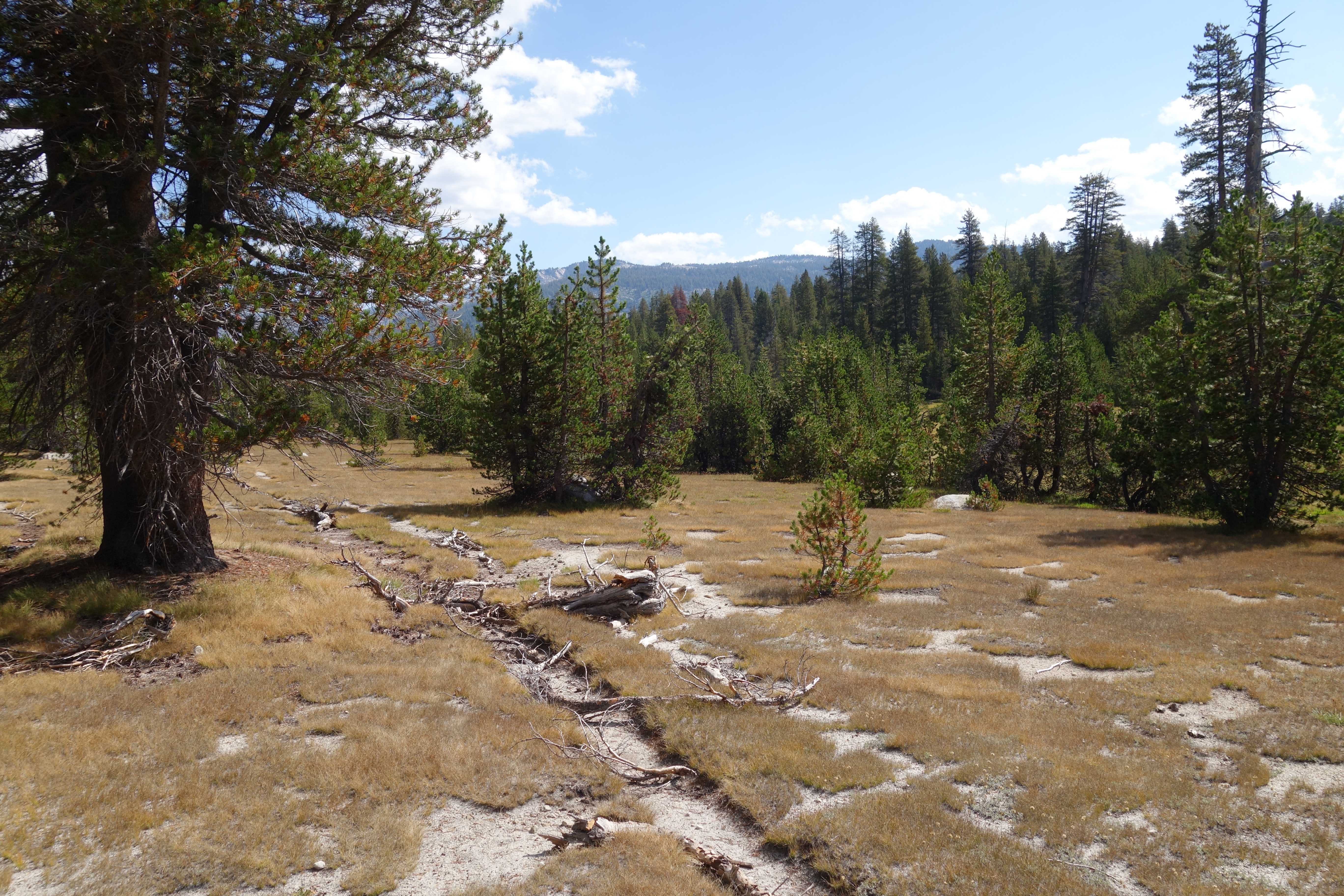
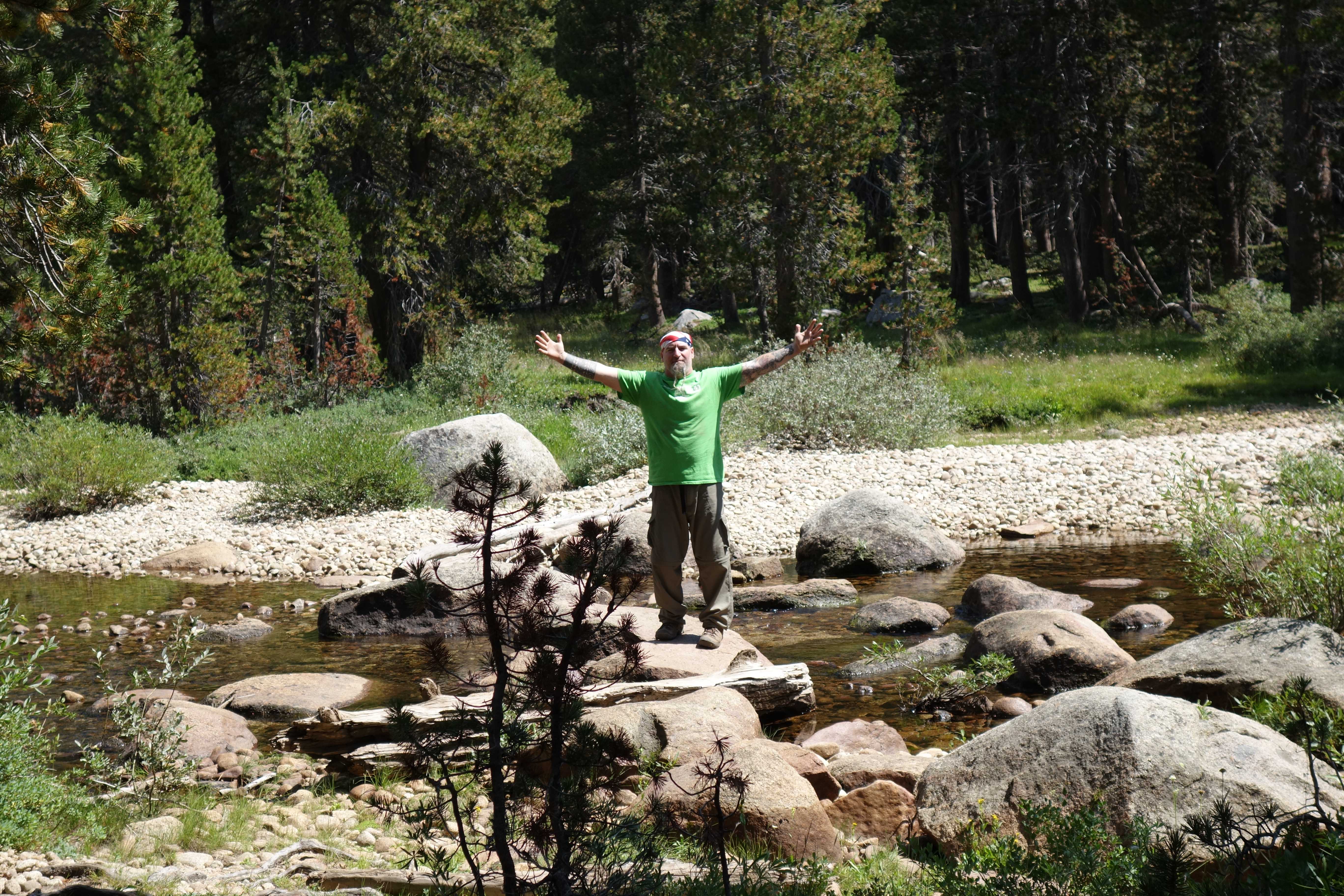
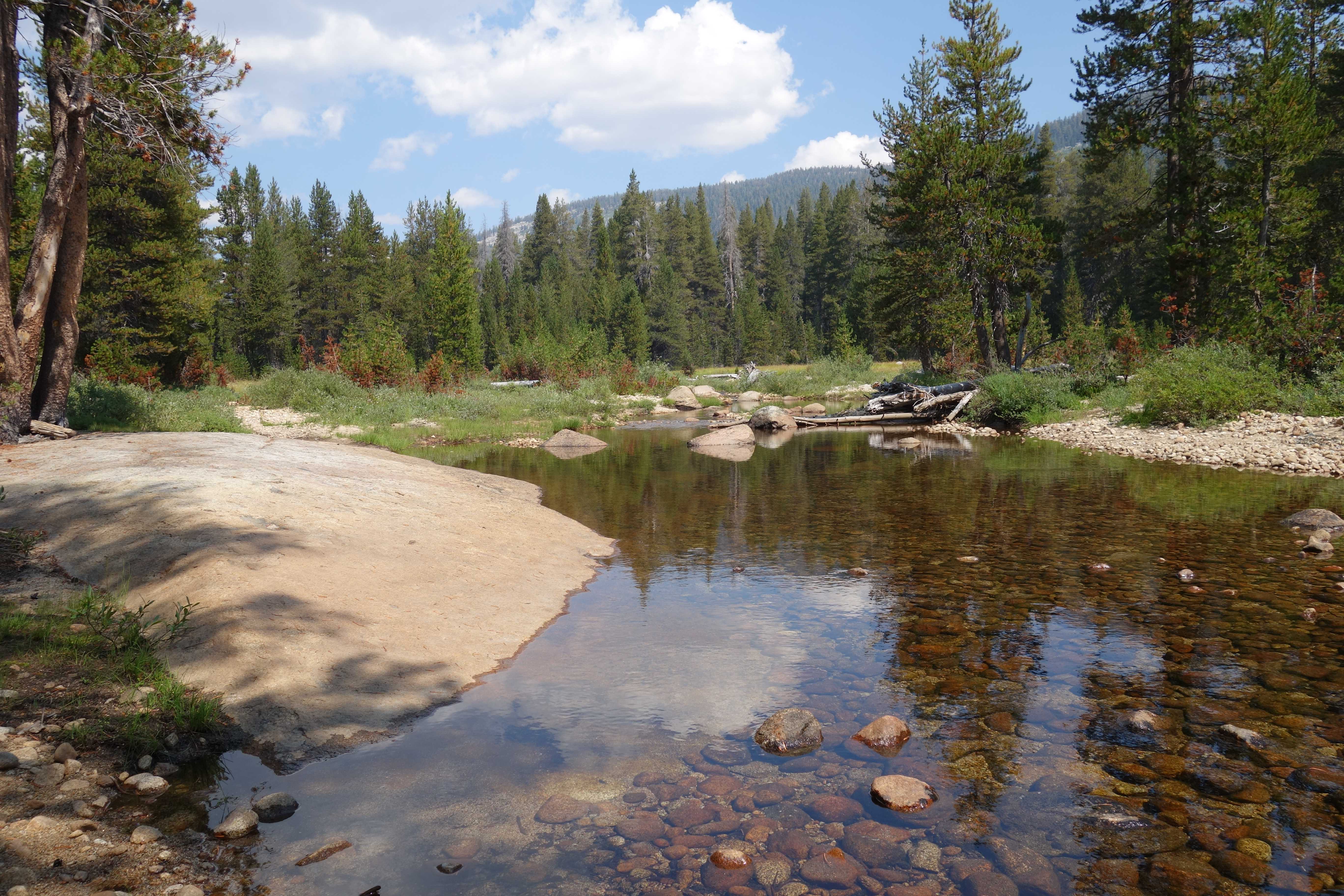
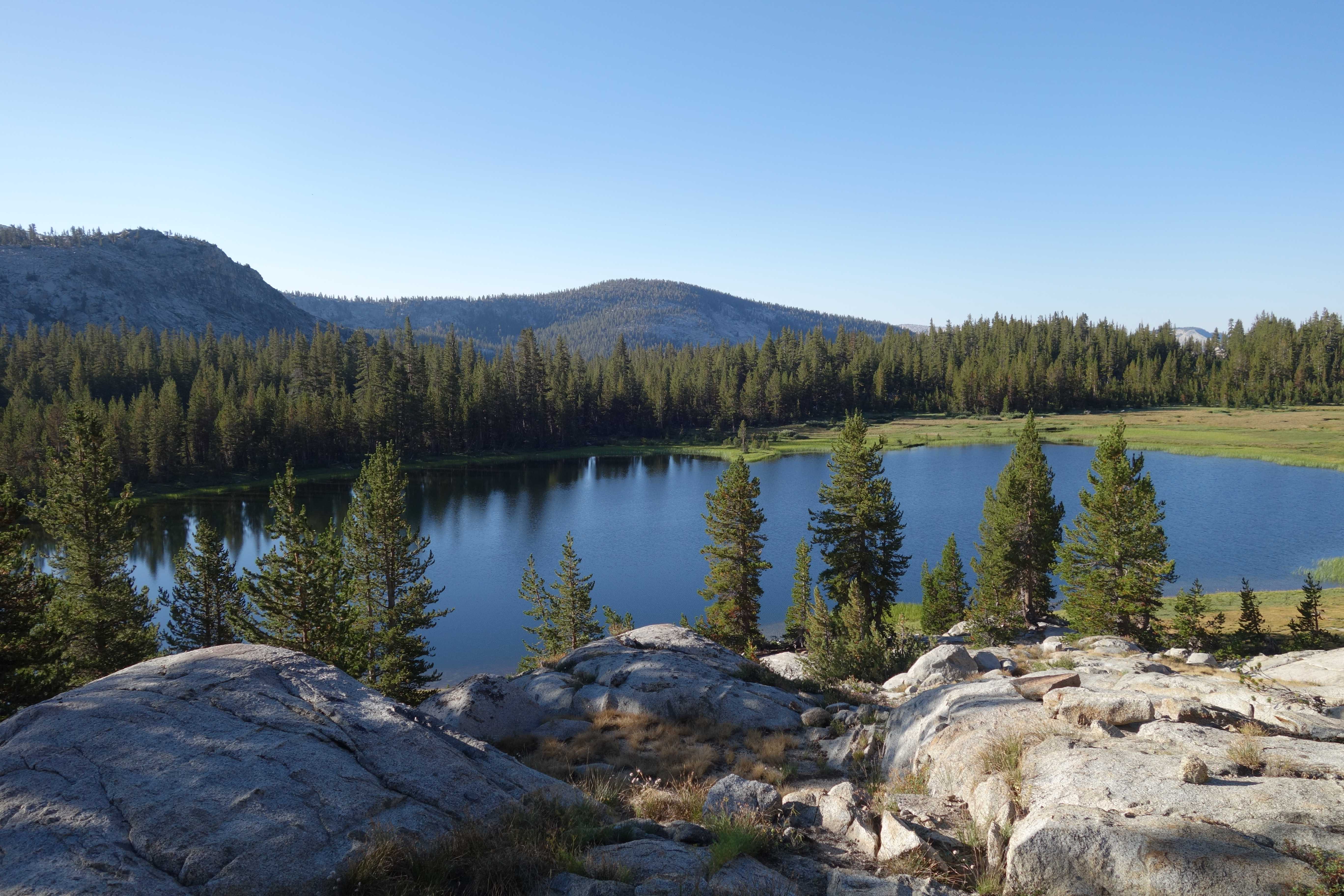
The trail from Voyager to Fleming lake is about 10.5 miles. In the beginning, you will hike up the mountain until you hit the fork that goes to Hobler lake. Stay right and continue down the trail another 4 miles until you come to the Post Corral creek. From here you are at the half-way point. It’s all uphill from here and contains the hardest part of the trail. Once you reach the top, you will find Fleming lake.
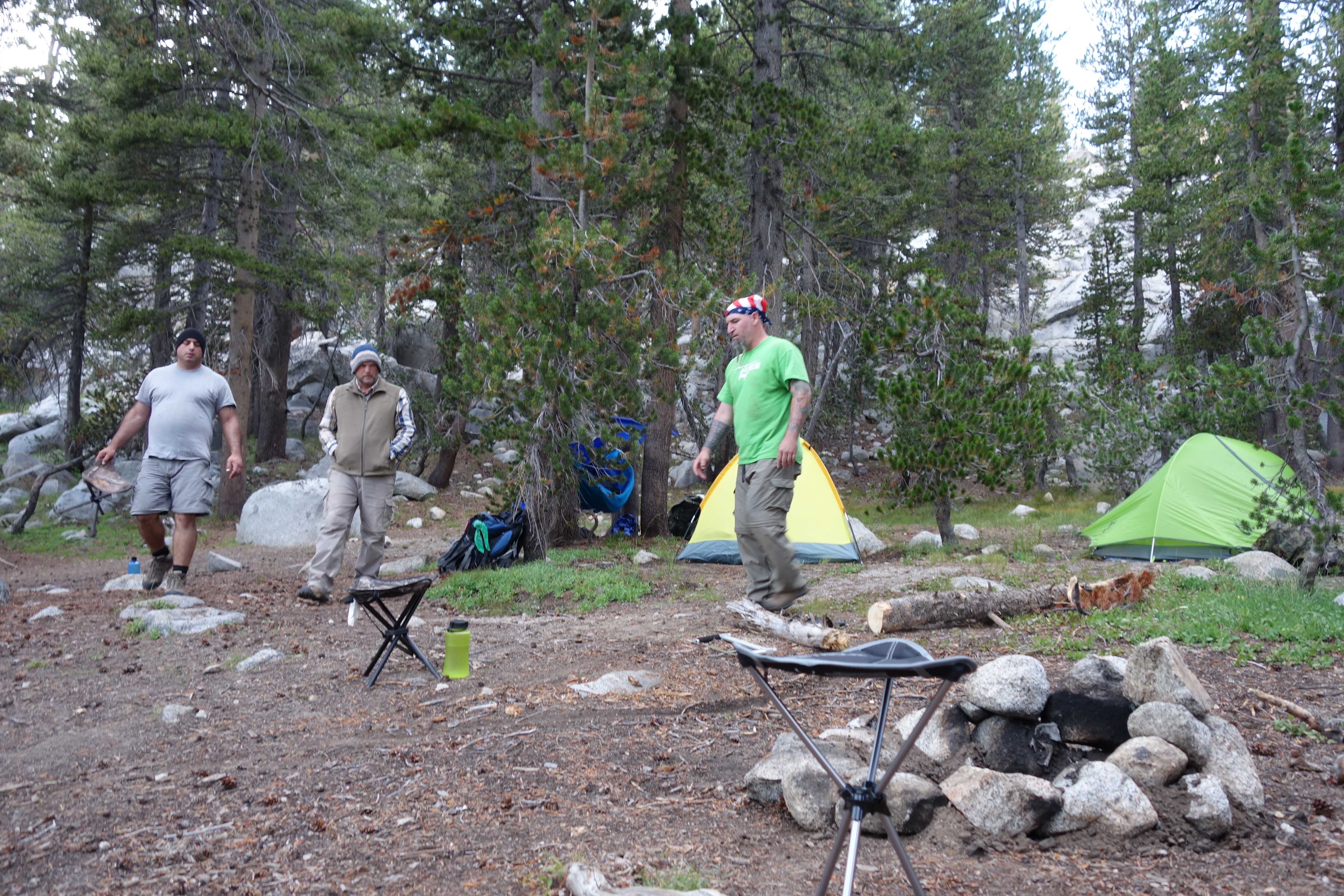
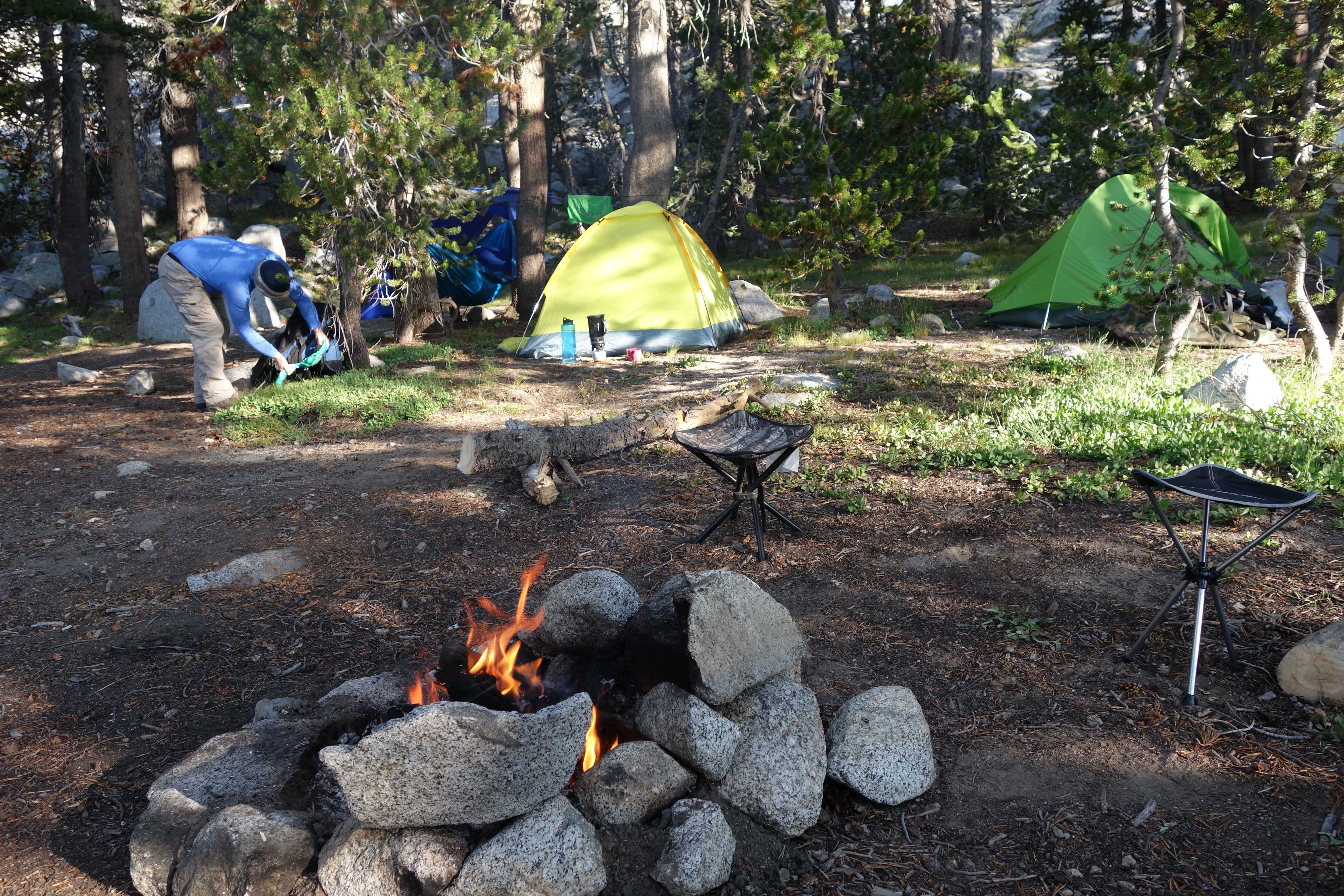
We camped at the back end of the lake up on the hill about 600 feet from the lake.
Day 2 – Acclimate
Aside from fishing Fleming, we just relaxed the whole day and healed up.
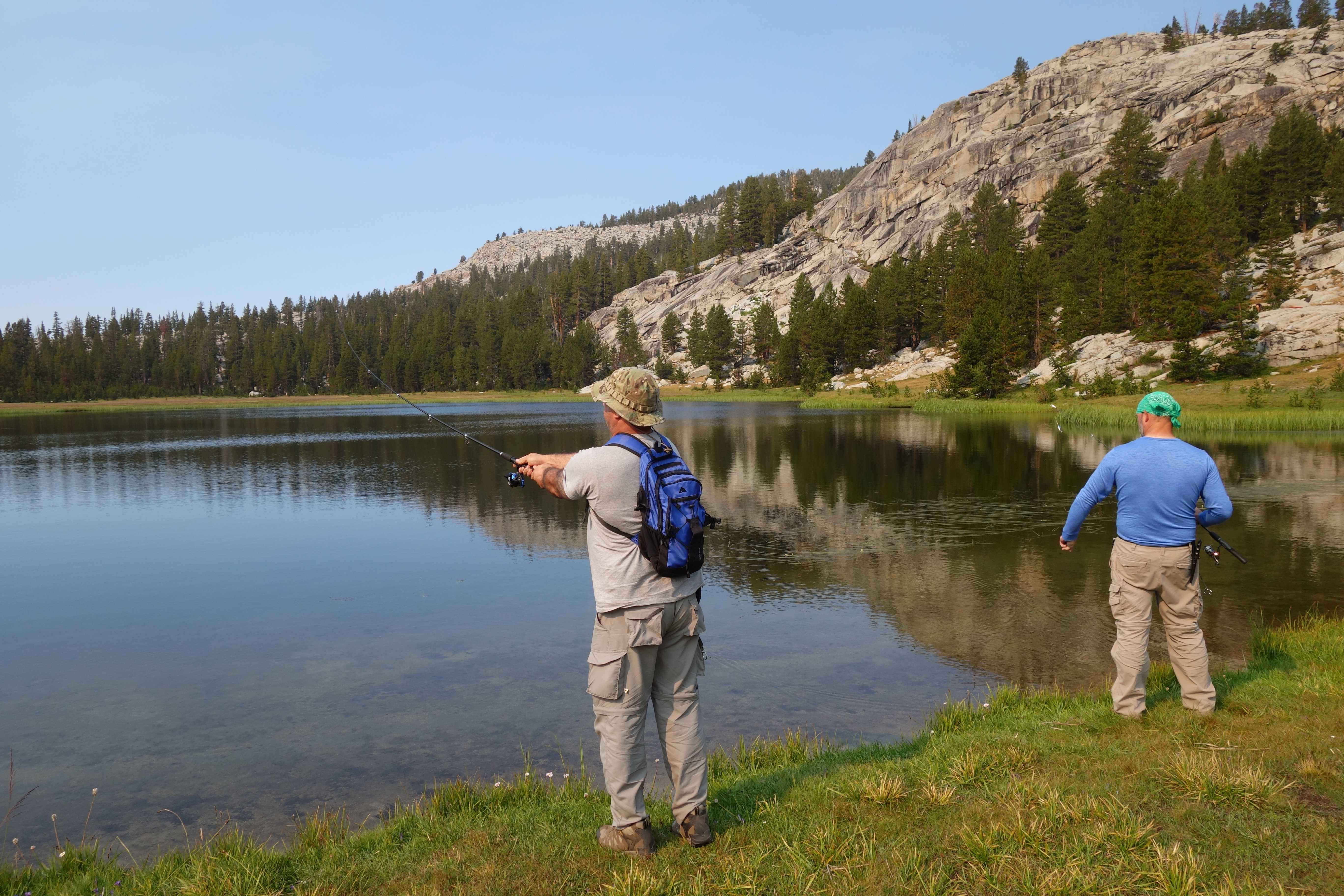
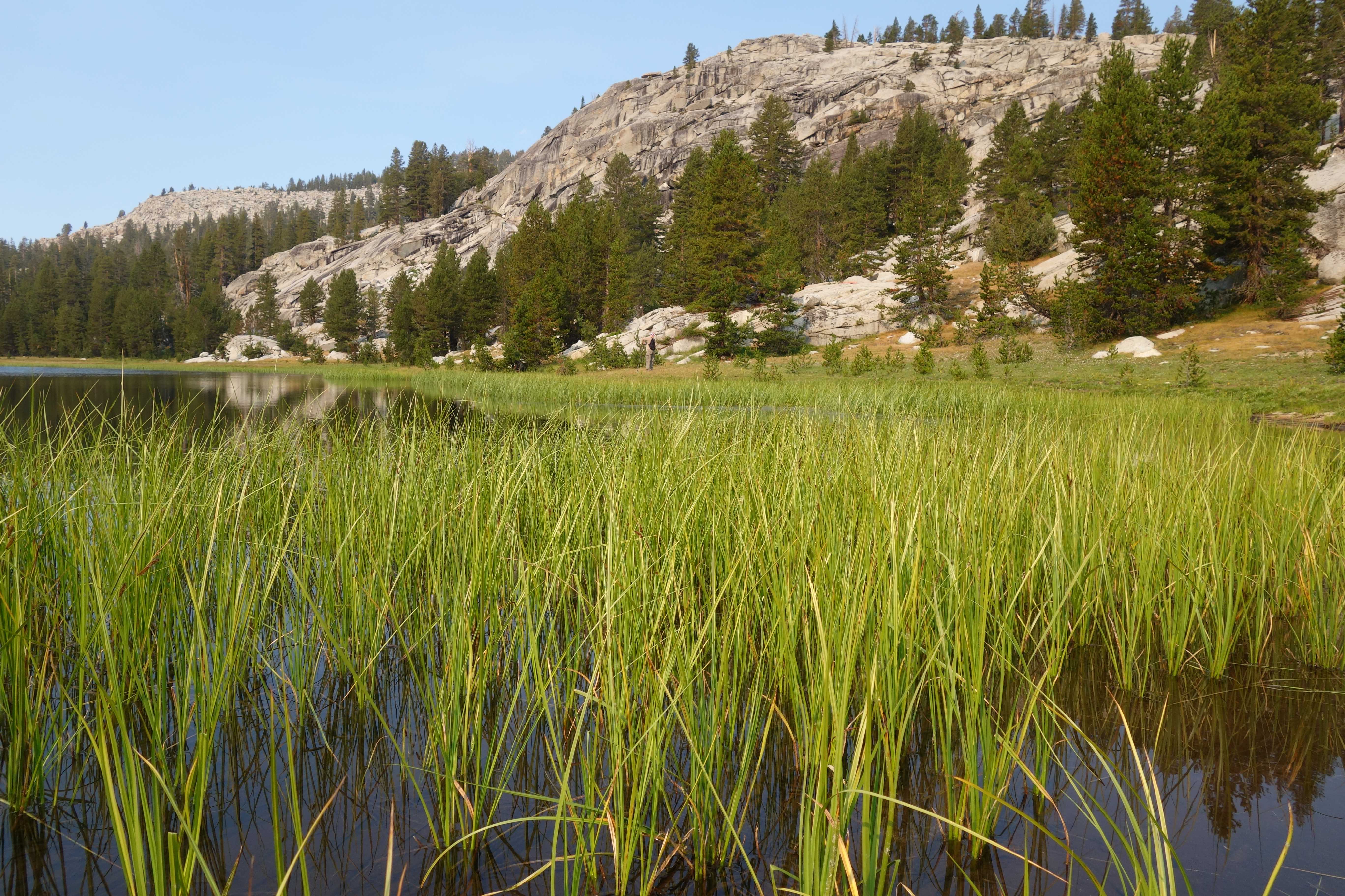
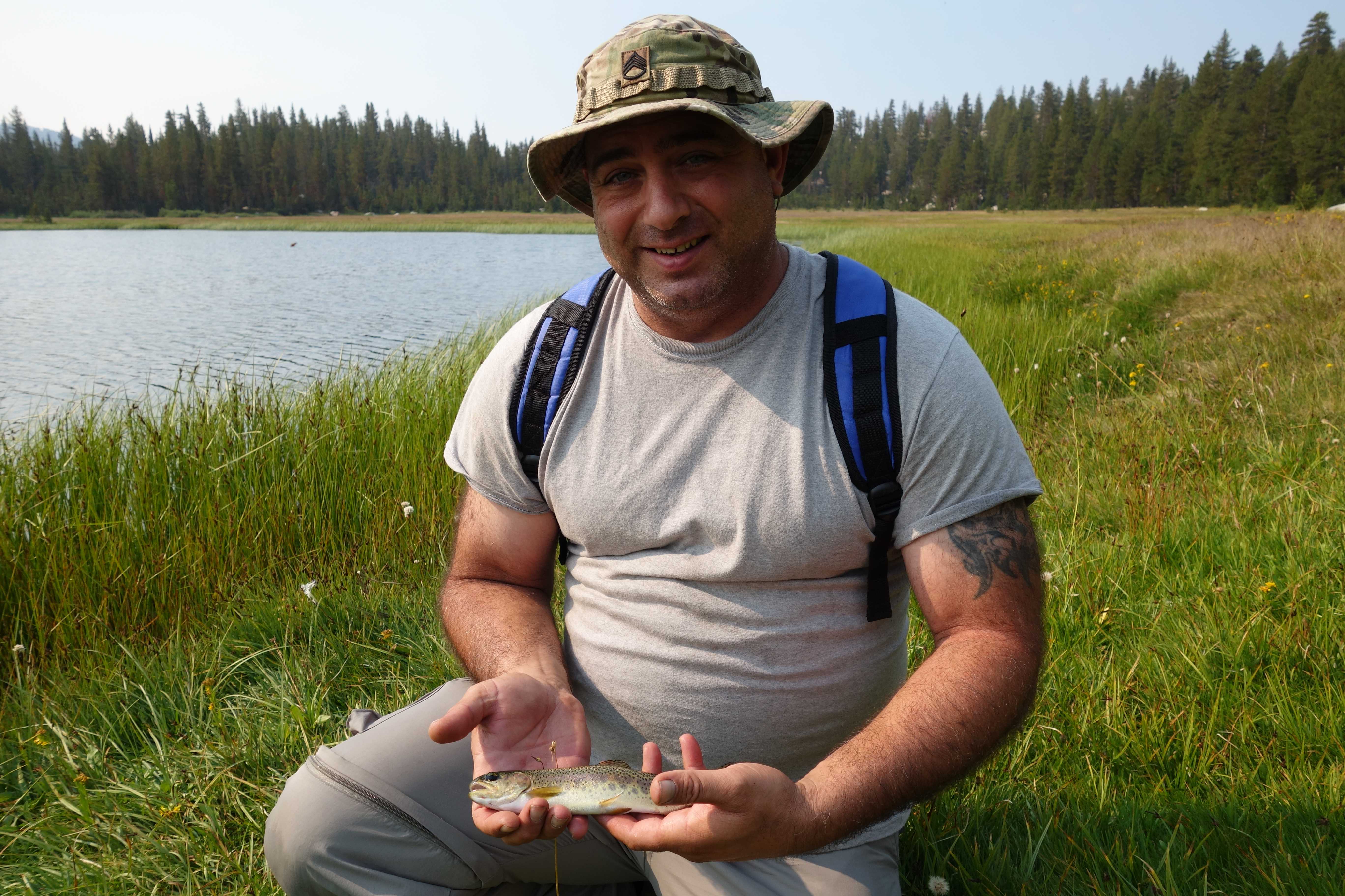
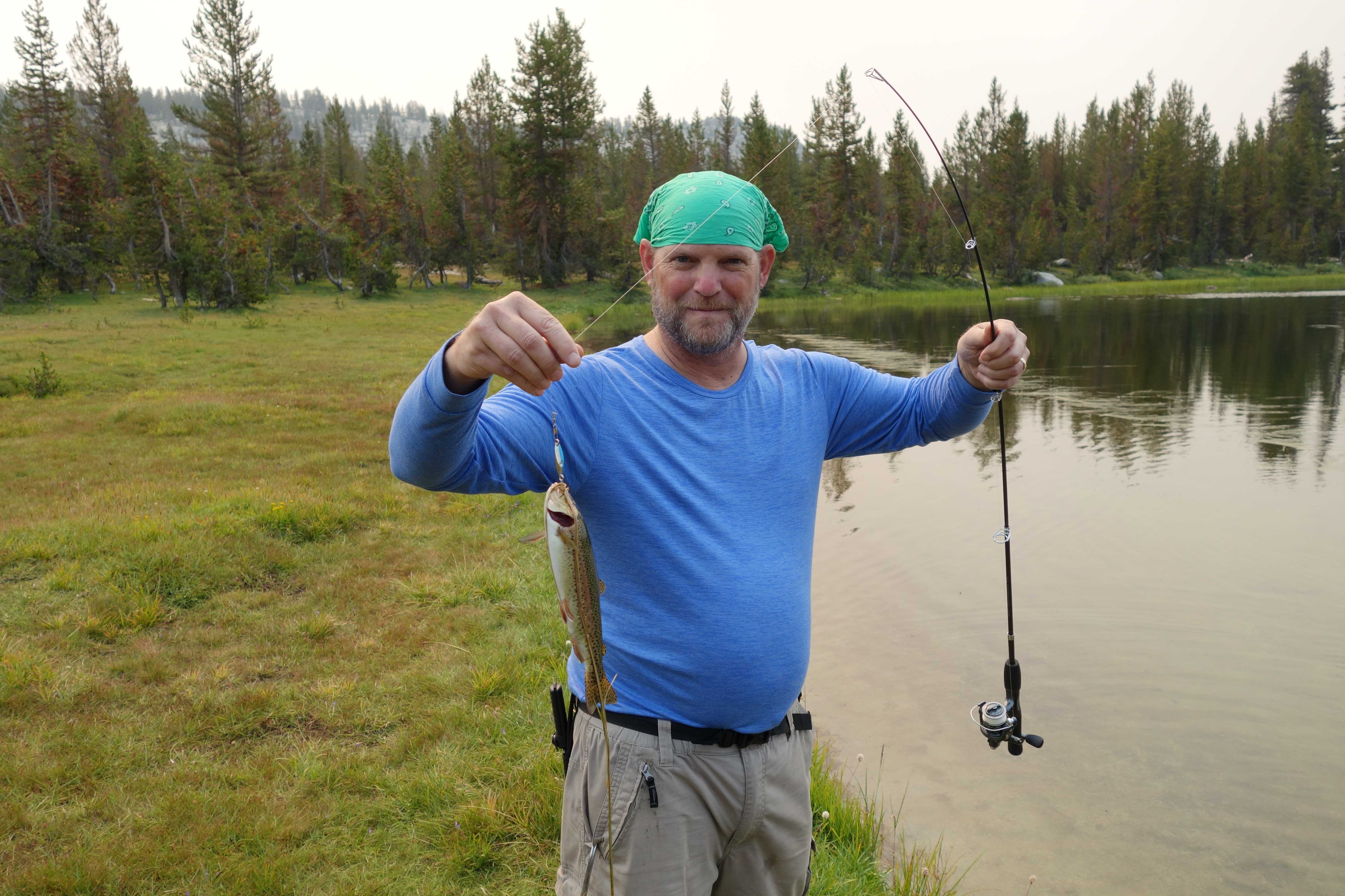
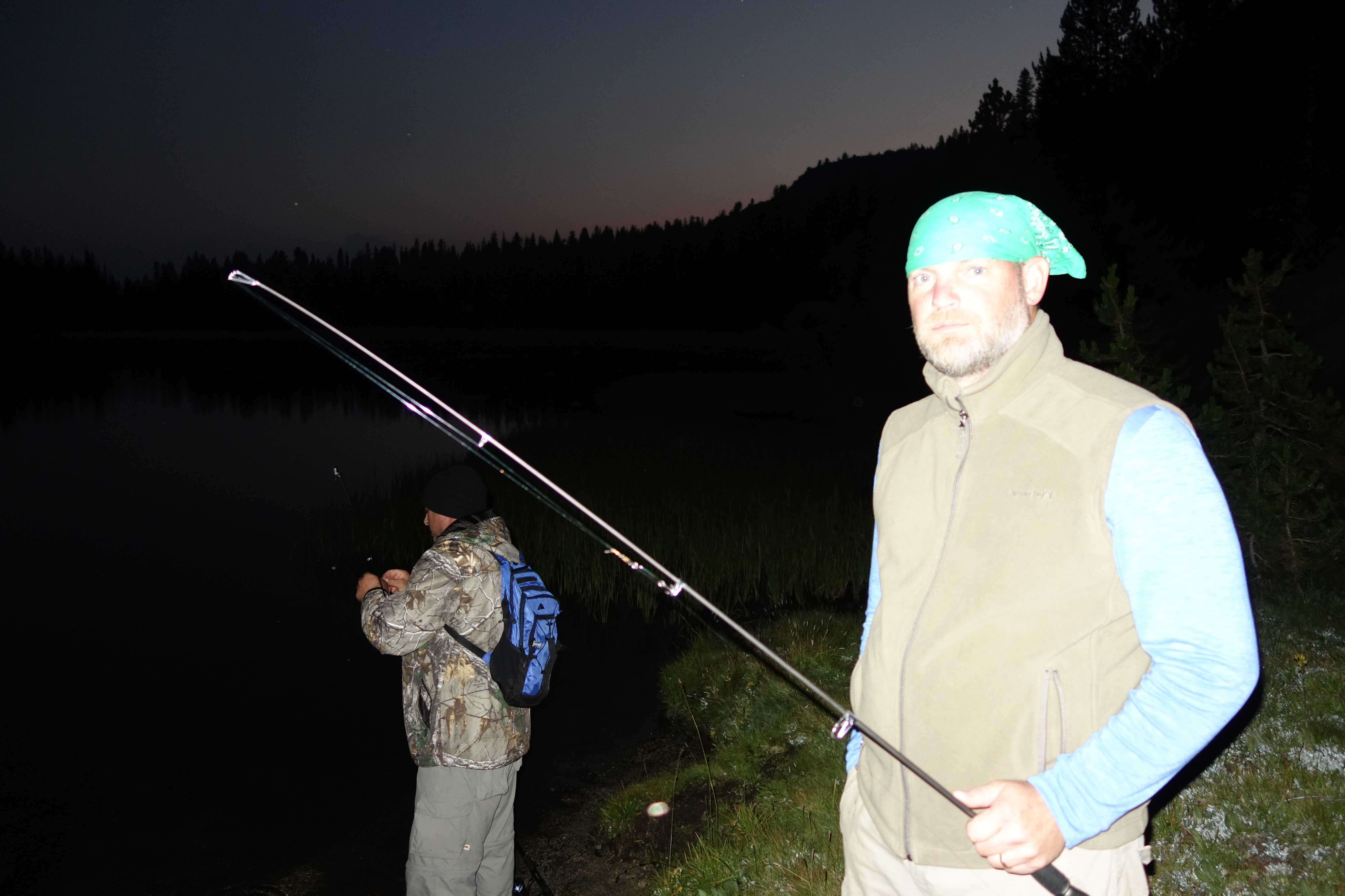
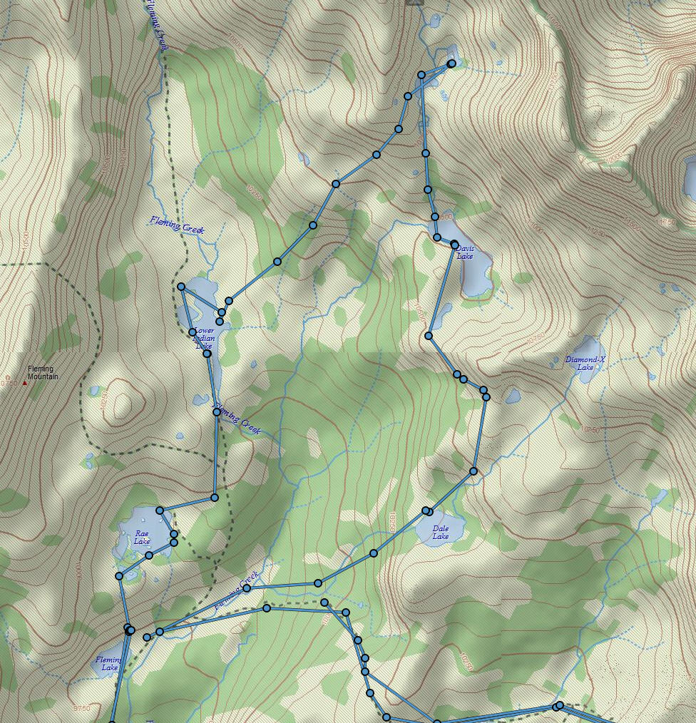
Day 3 – Lake Fishing
After getting sufficient R&R, we decided to do a loop that traveled up to Rae and then to Lower Indian. From there we traveled to Turf, down to Davis and then to Dale. Turf had an abundant amount of snow at the base of its mountain which was fun.
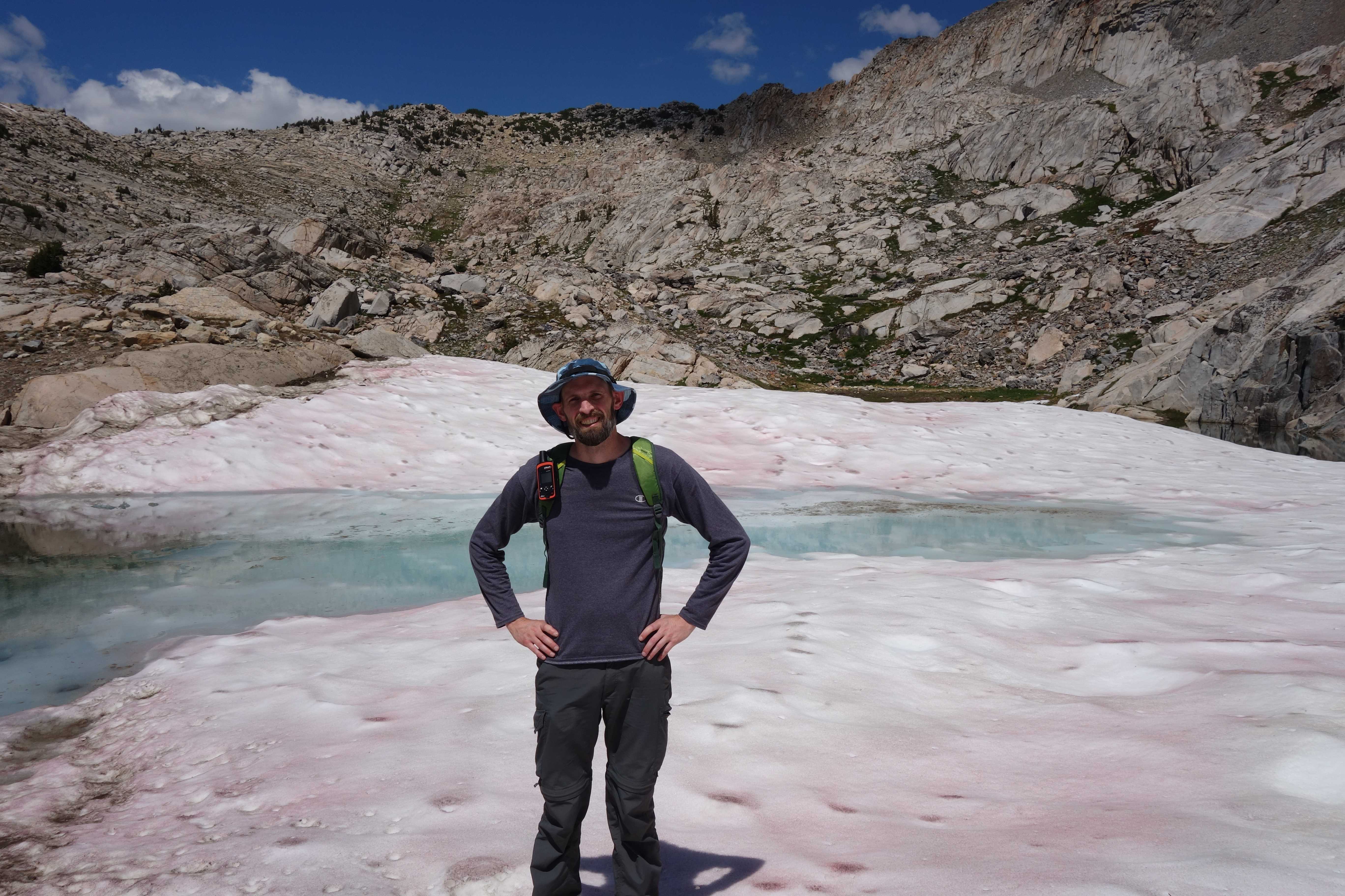
Day 4 – Peak Day
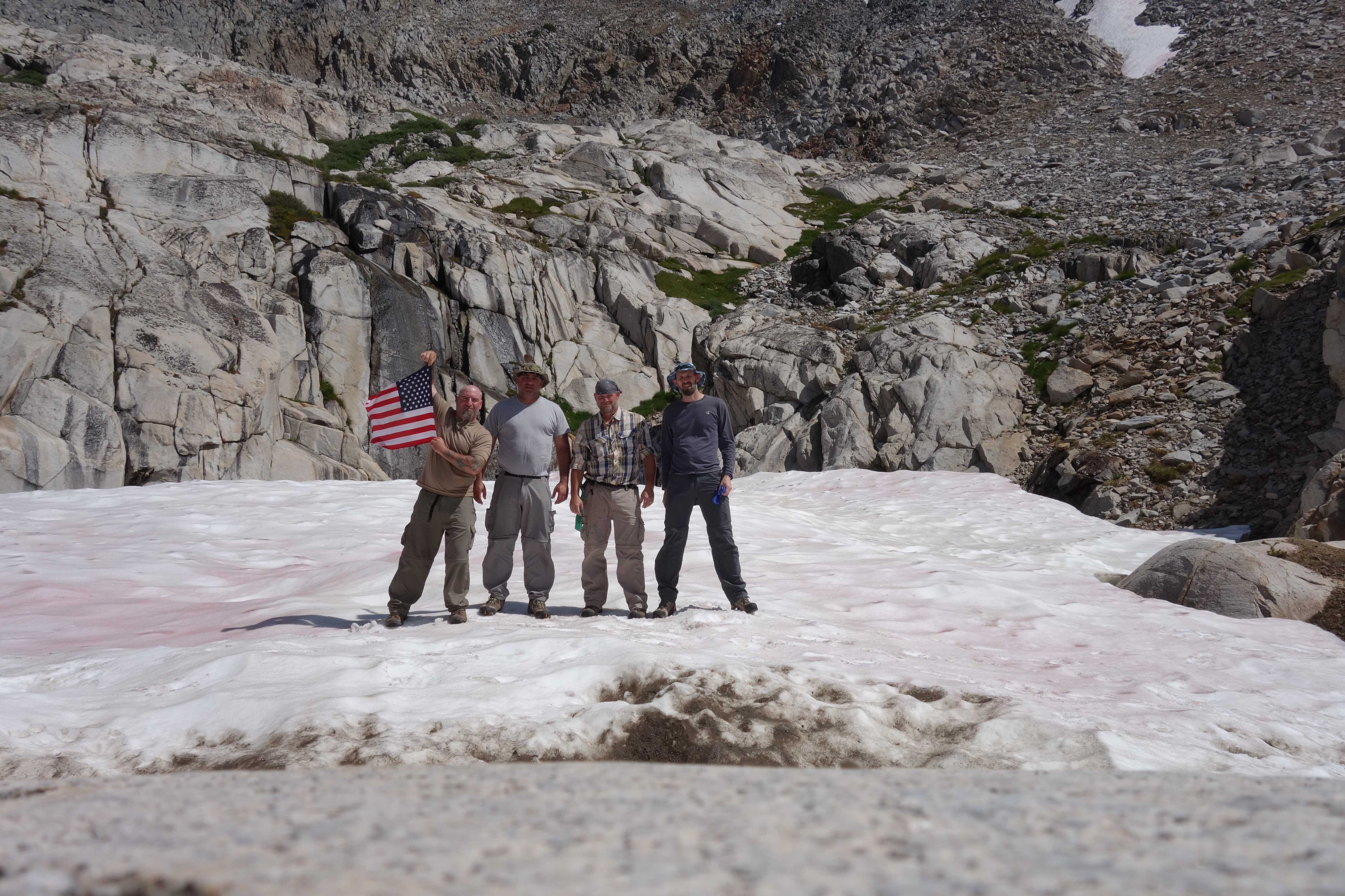
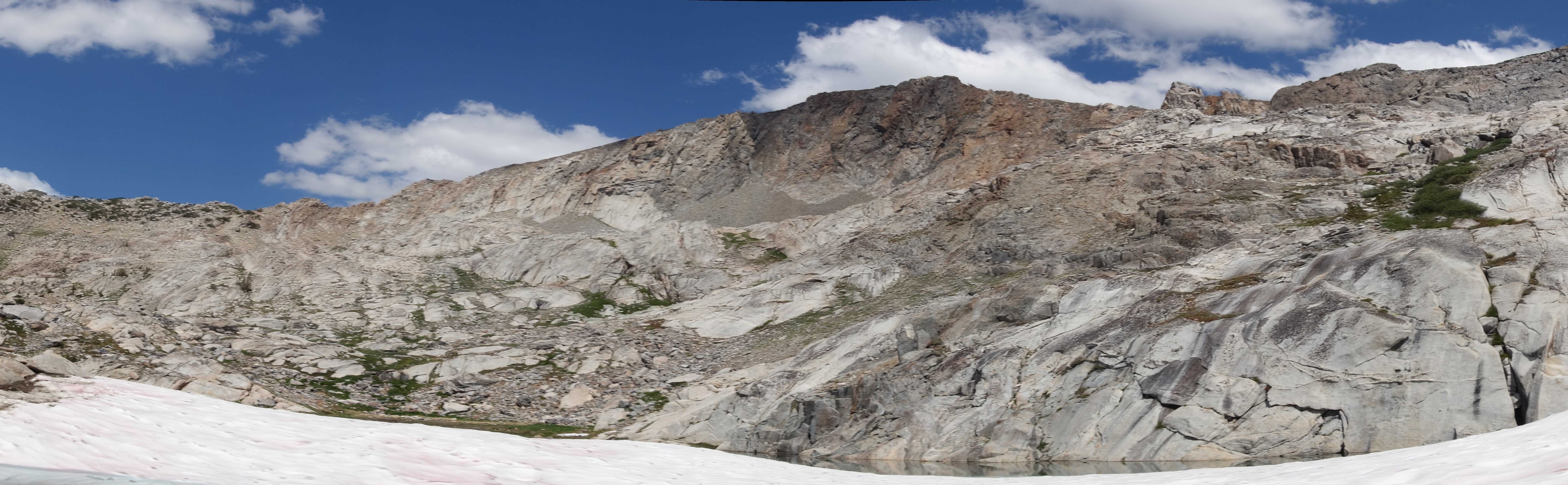
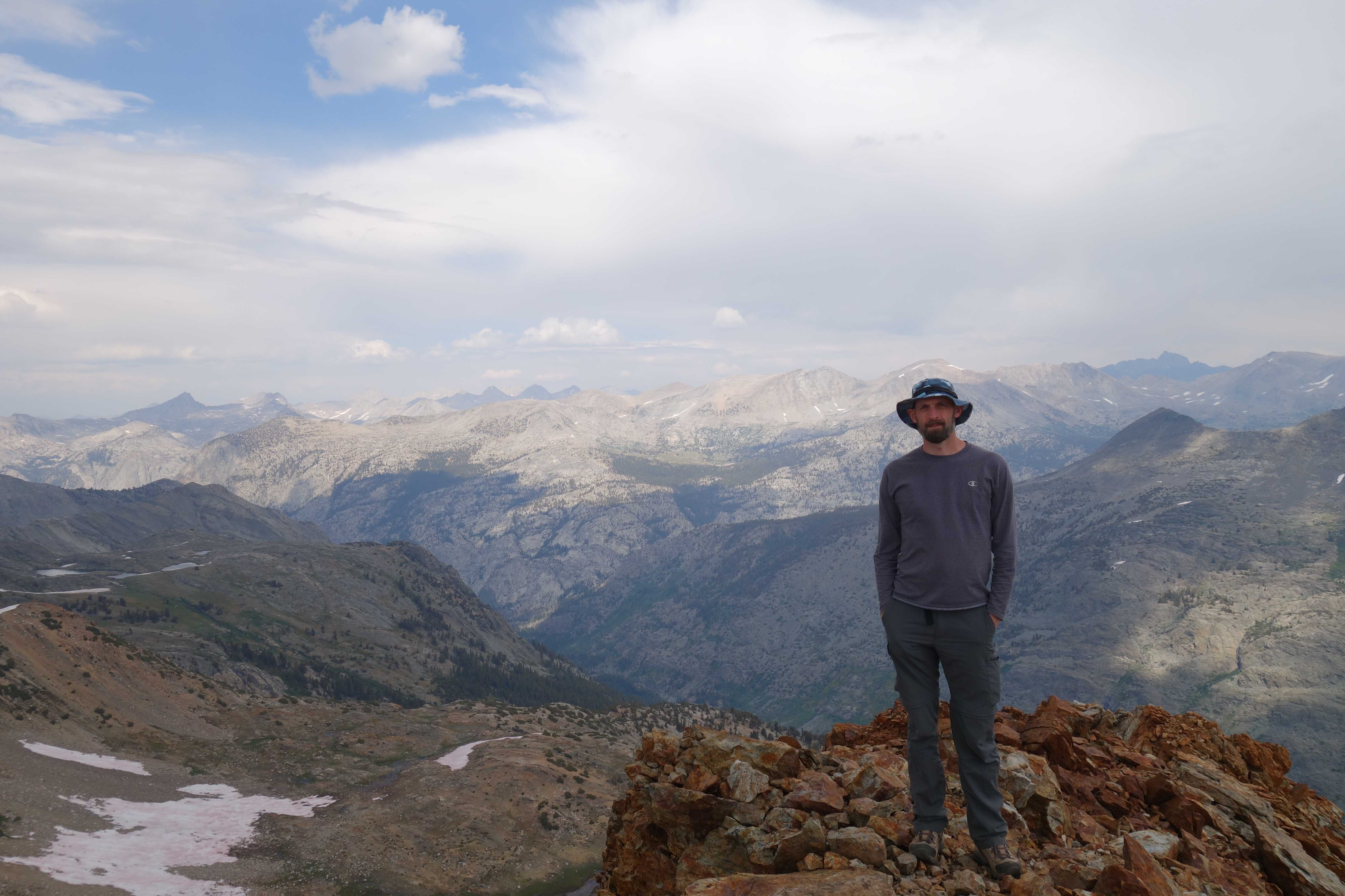
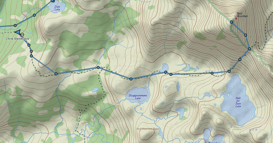
Clouds started moving in early so we knew we would probably be in for rain later. To head it off, we left early up the trail towards Disappointment lake. After spending some time there, we continued up the trail to Hell for Sure (and all the little lakes on the way). From Hell for Sure, we continued climbing the mountain to reach Hell for Sure Pass.
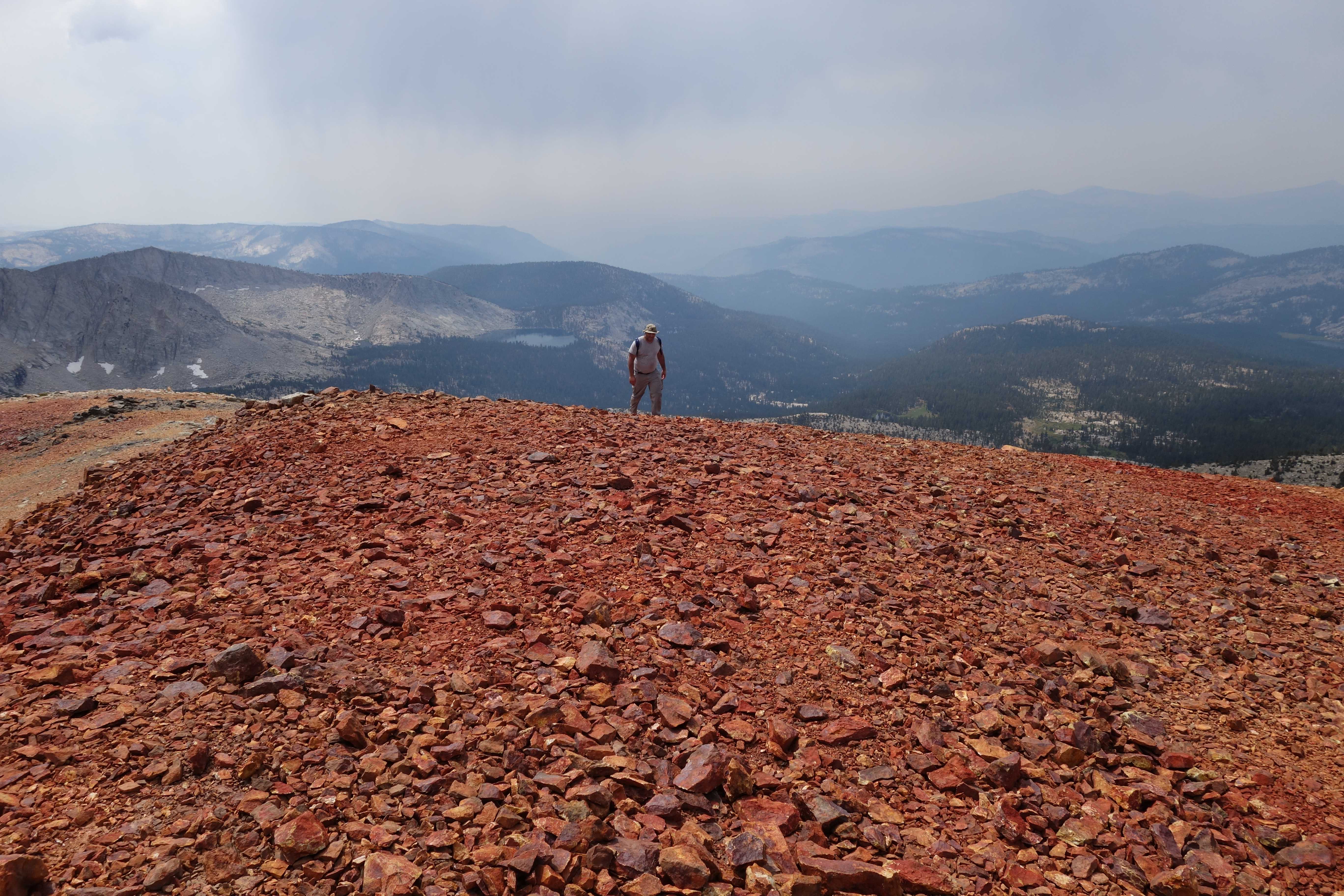
After spending some time at the pass, we then climbed Red Mountain which reaches an elevation of 11,950 ft. The entire mountain is red from iron deposits and the view is spectacular. Off in the distance you can see and hear a thunderstorm rolling up so we decided to get off the mountain.
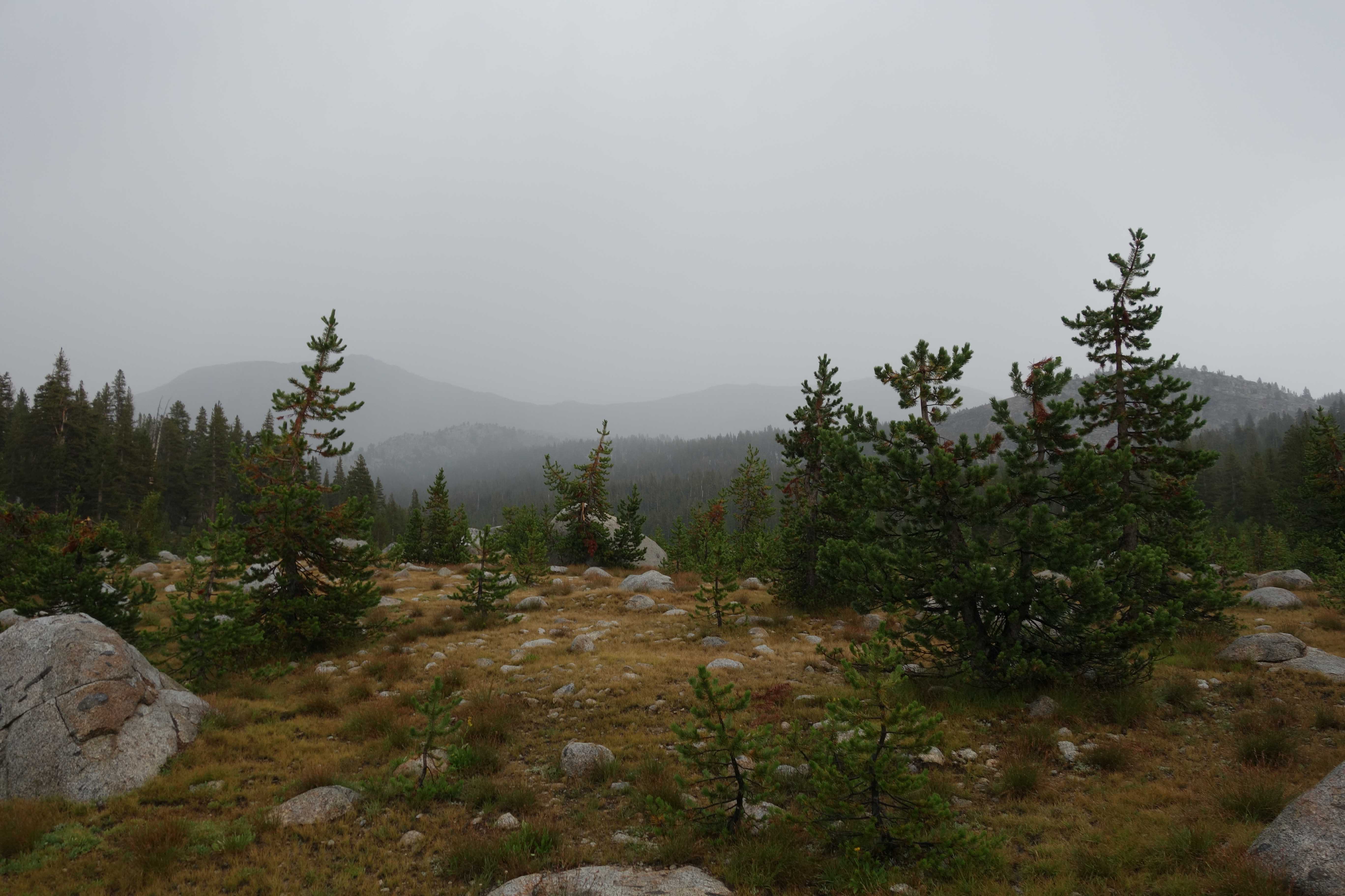
On the way back down to Fleming, we finally got hit by the thunderstorm. We were drenched before we got back to camp but dried off quickly when the sun came back out.
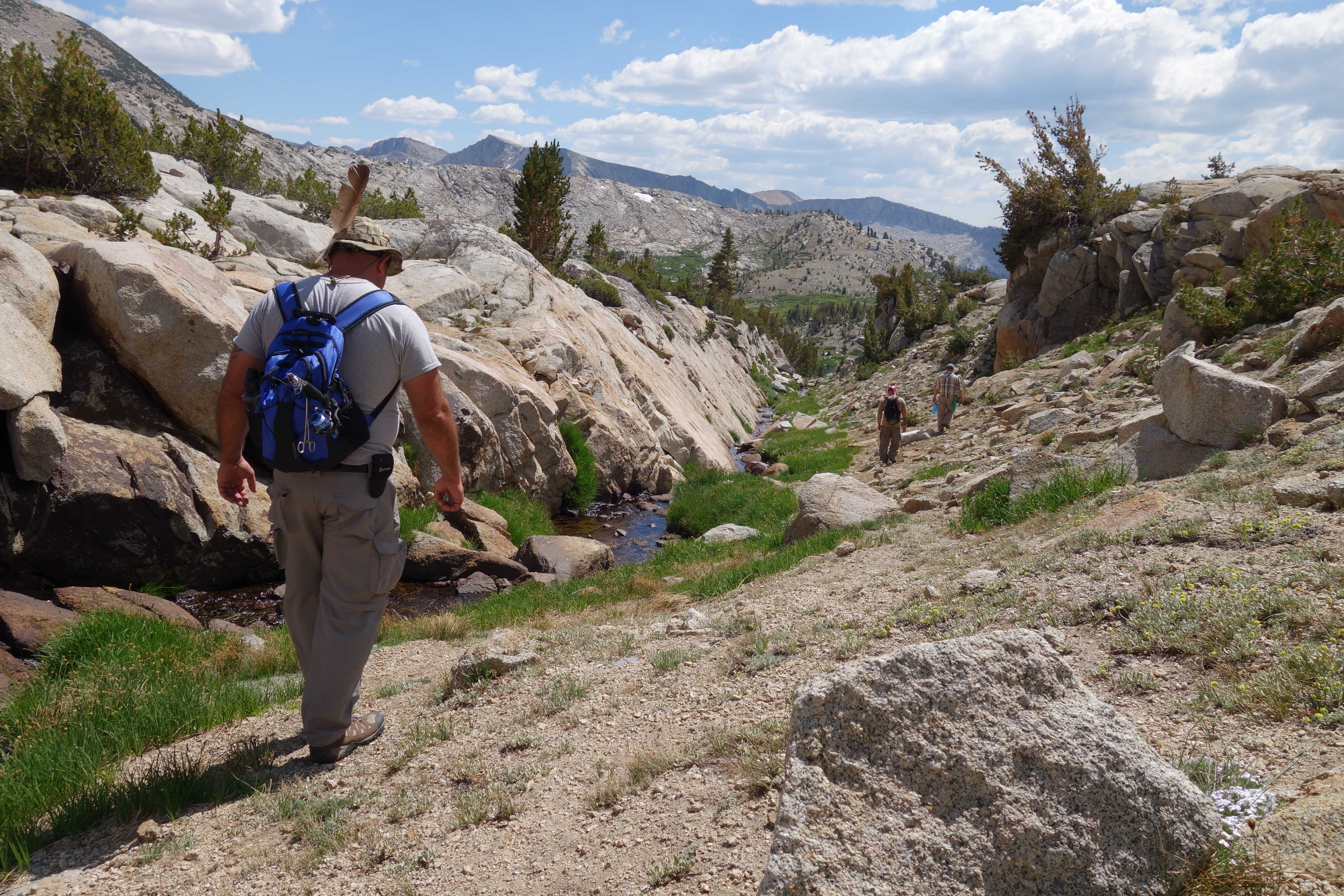
Day 5 – Hike out
This is still one of my favorite areas in the Sierras. It’s a shame we only get to come once a year.
The hike out is slightly easier but brutal on the legs and steep part that we came up 4 days ago, we now have to come down. After Post Corral creek, we get some relief as we climb back up the hill to reach the vehicles.
Weather & Fishing
Afternoon temperatures averaged from 62 F
Morning temperatures averaged from 41 to 56 F
Minimal rain Thursday night. Thunderstorms on Saturday lasting for about 2 hours.
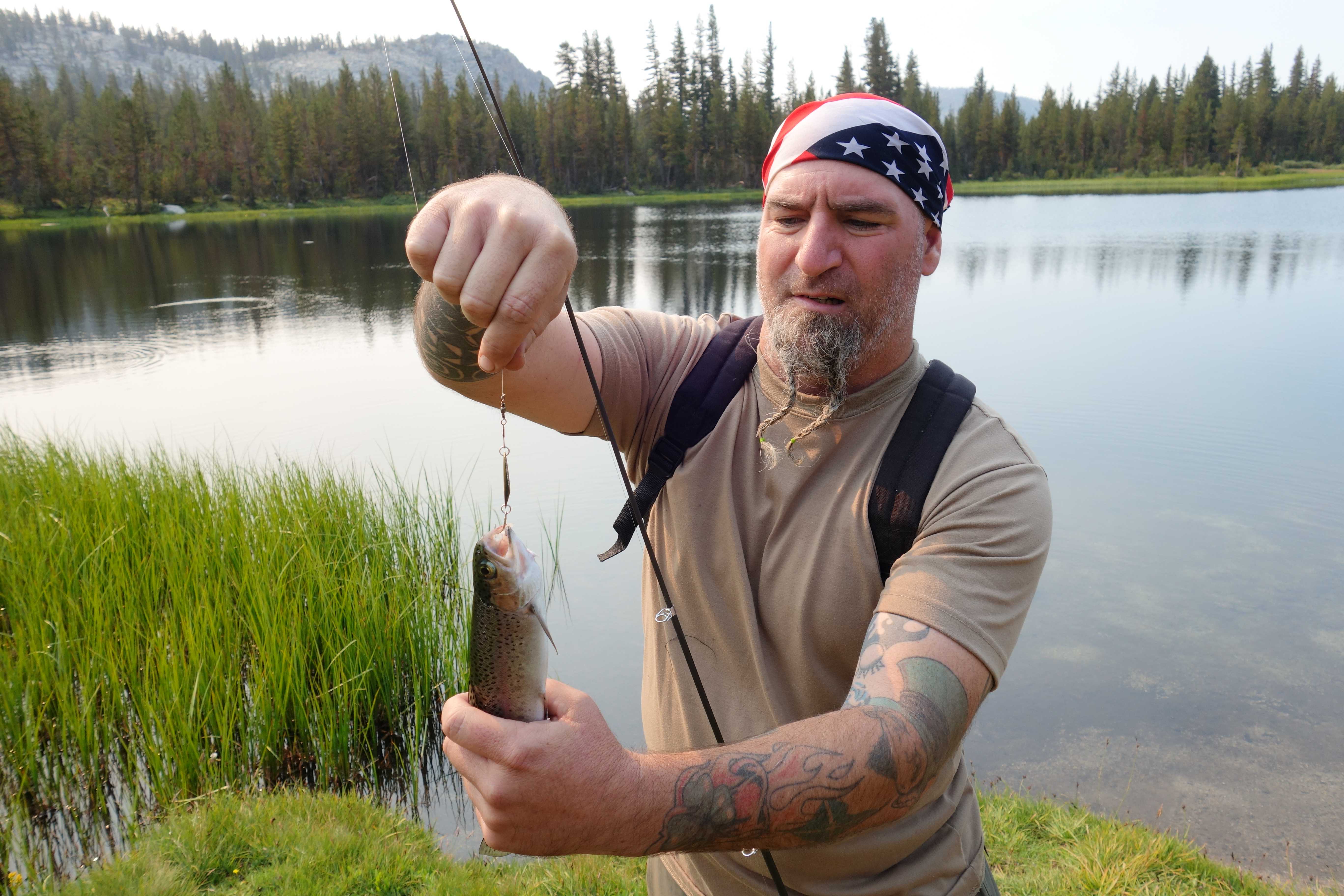
Fishing was excellent at Lower Indian Lake (golden/brown 6-8″). Fishing was good at Fleming (brow/brooke/rainbow 6-8″) and Davis (german/brooke/golden 4-5″). No fish where caught at Rae (but there were fish visible).
FitBit
Thursday – September 31st
Steps – 35,511
Distance – 16.97
Calories Burned – 4,981
Active Minutes – 436
Floors – 310
Friday – September 1st
Steps – 11,840
Distance – 5.69
Calories Burned – 3,429
Active Minutes – 132
Floors – 29
Saturday – September 2nd
Steps – 26,235
Distance – 12.53
Calories Burned – 4,280
Active Minutes – 284
Floors – 155
Sunday – September 3rd
Steps – 31,295
Distance – 14.96
Calories Burned – 4,545
Active Minutes -310
Floors – 261
Monday – September 4th
Steps – 29,807
Distance – 14.24
Calories Burned – 4,006
Active Minutes -355
Floors – 92