Hell for Sure 2002
Wilderness: John Muir Wilderness
Trail System: Maxon Trail
Latitude: 37.0844
Longitude: -118.4749
Elevation: 11,284 feet
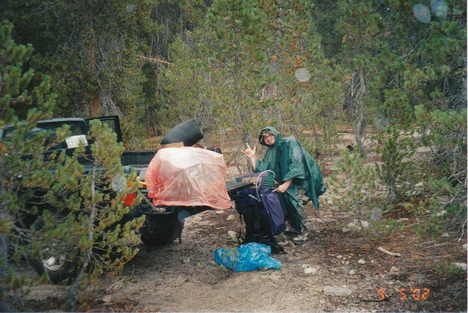
Day 1 – Hike in
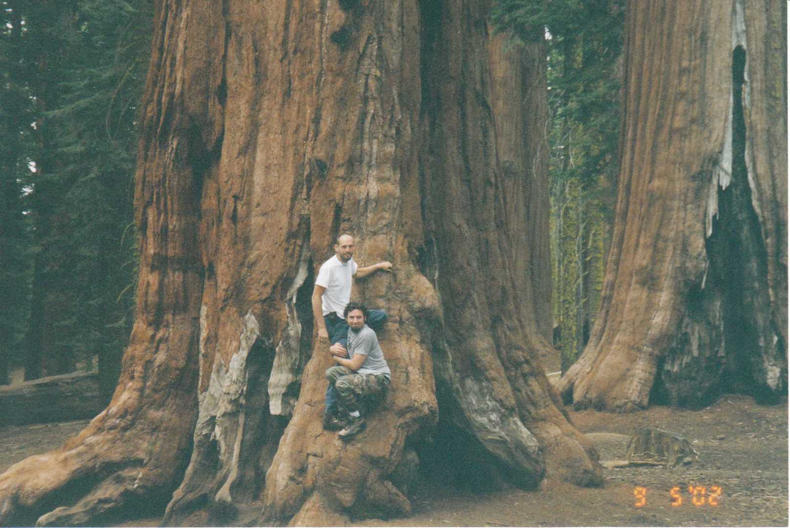
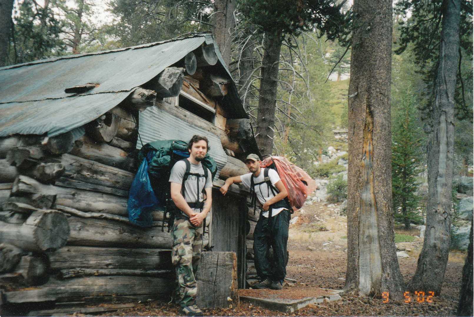
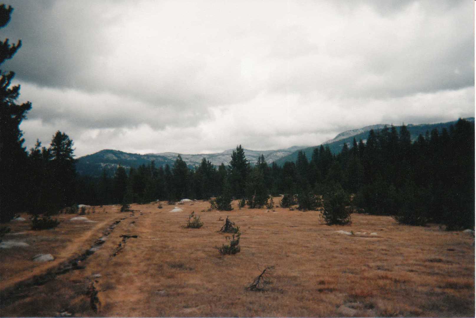
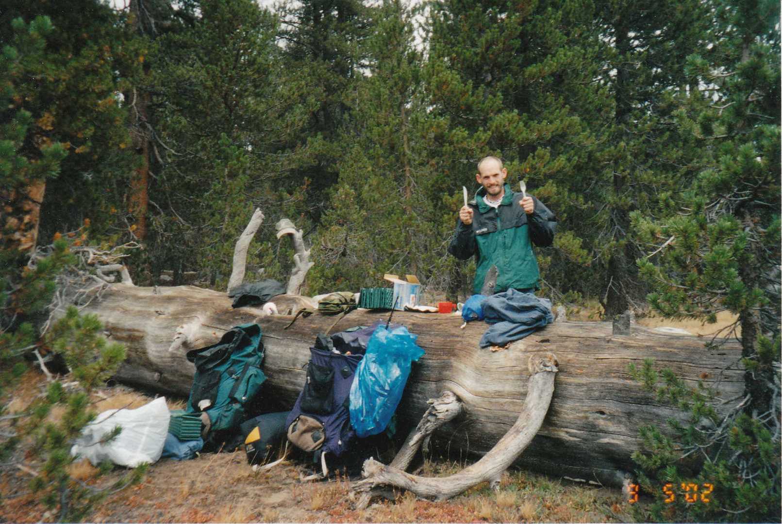
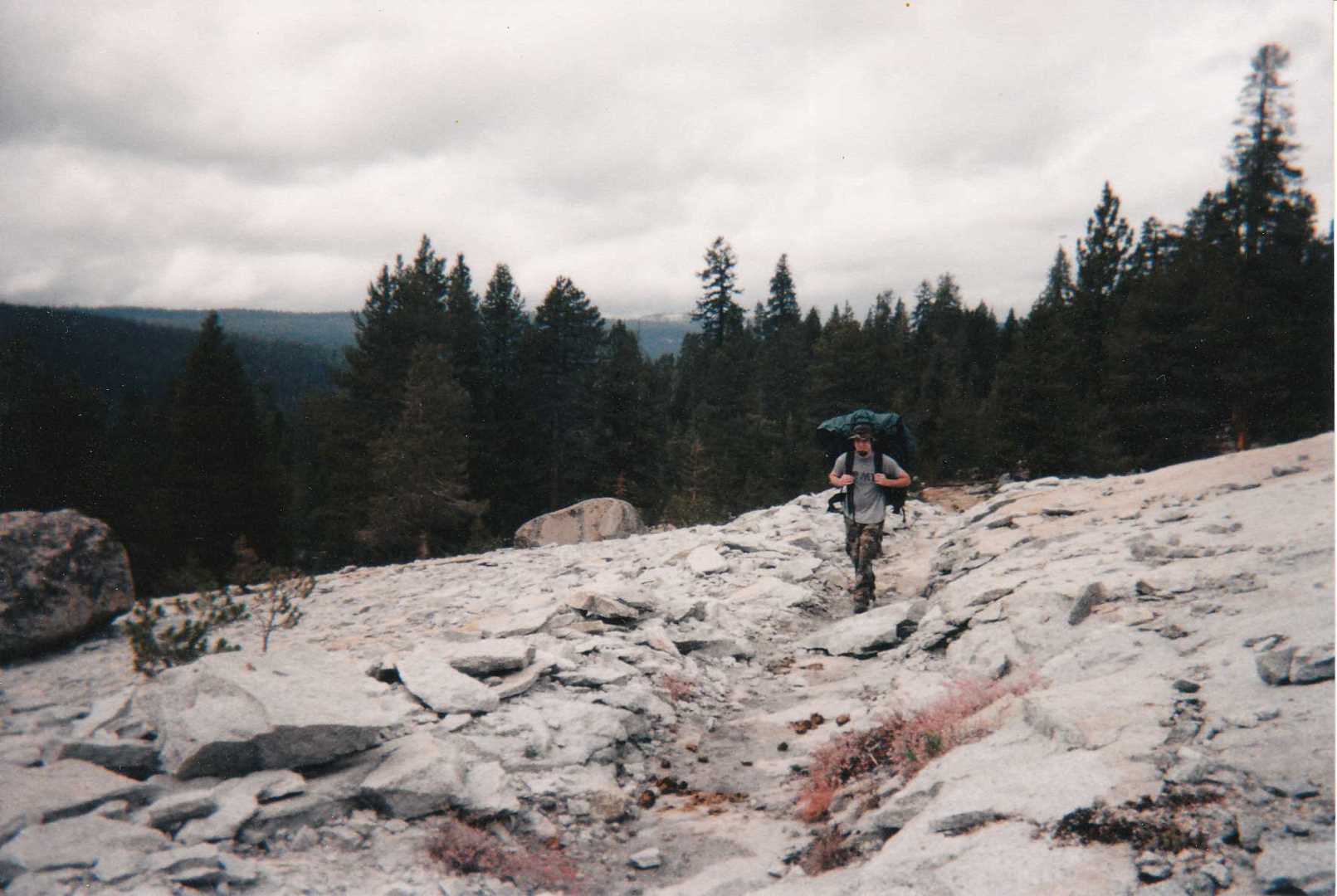
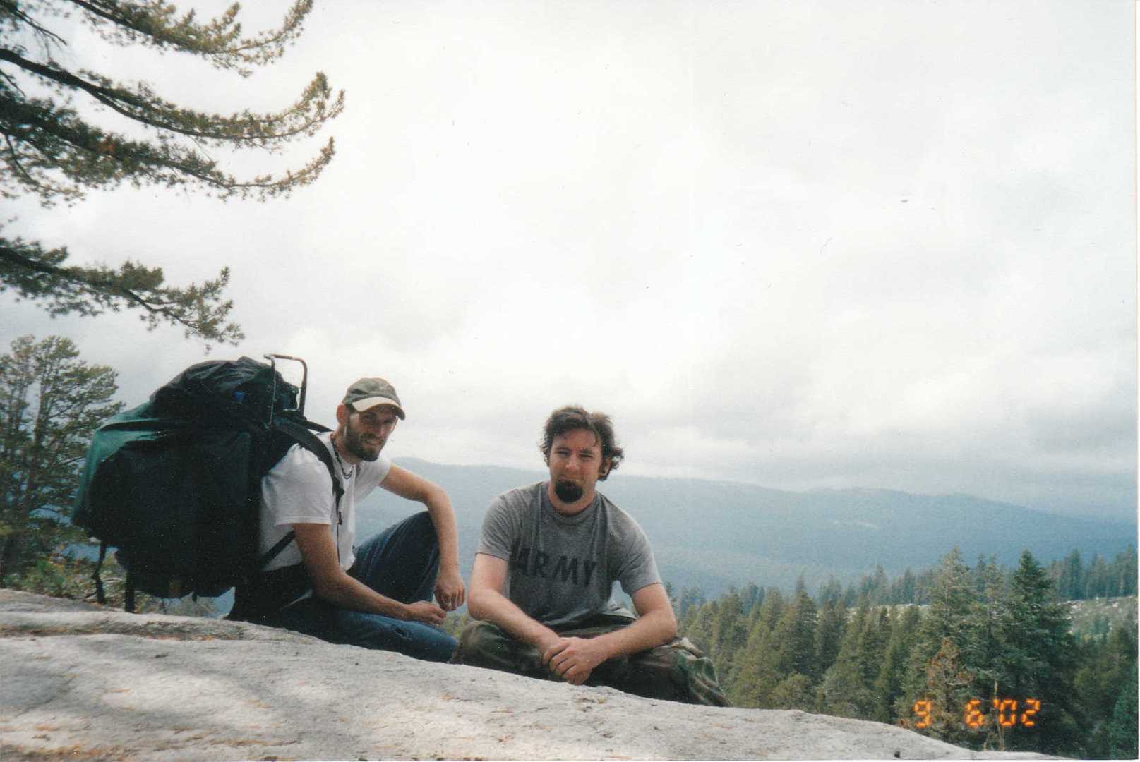
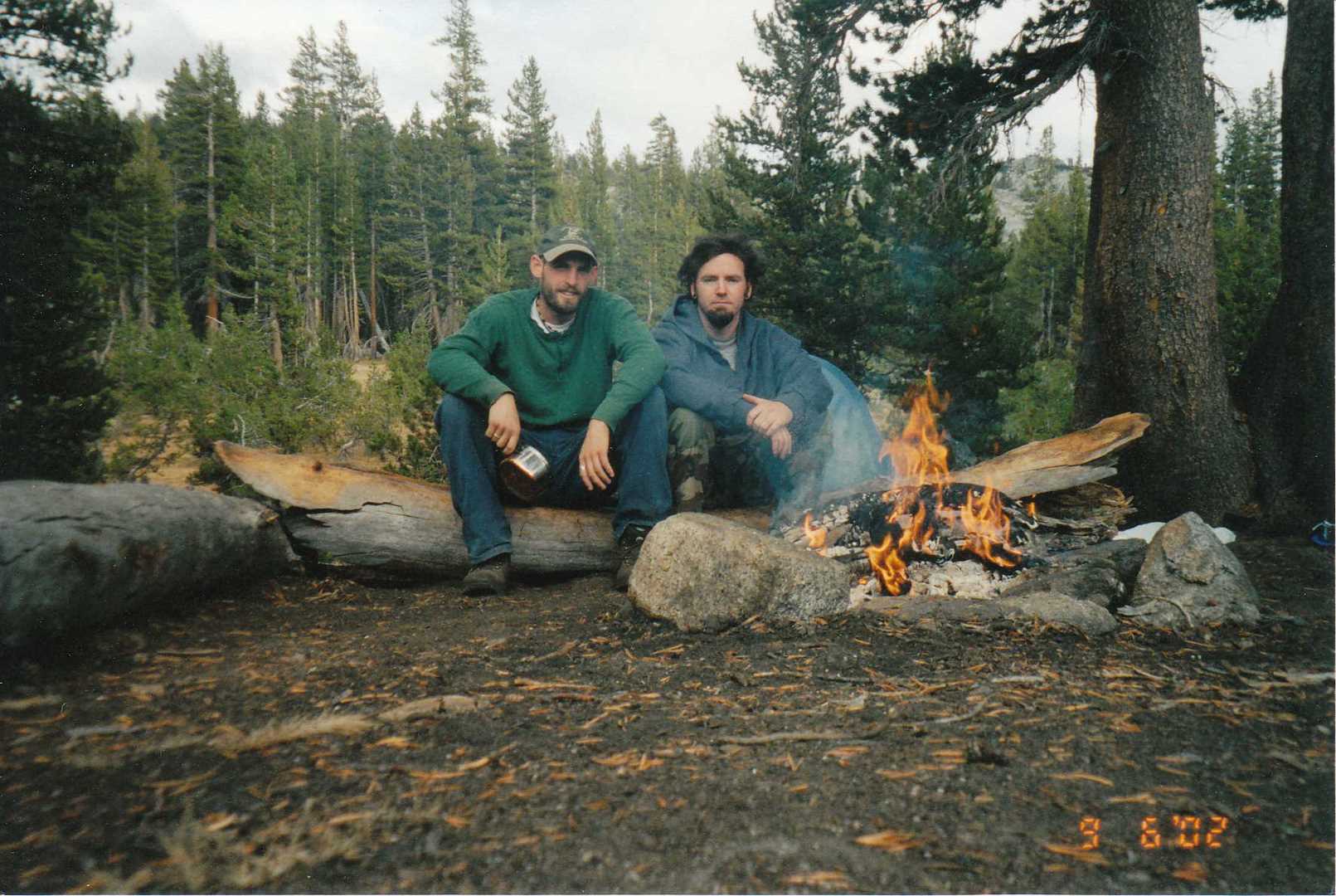
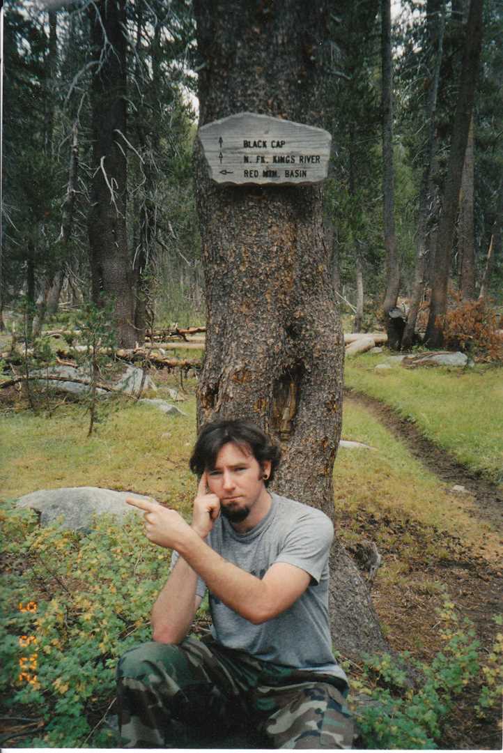
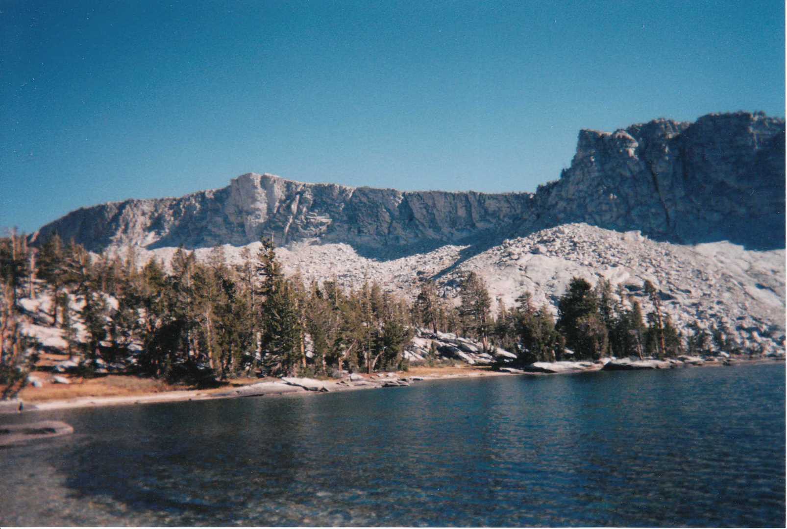
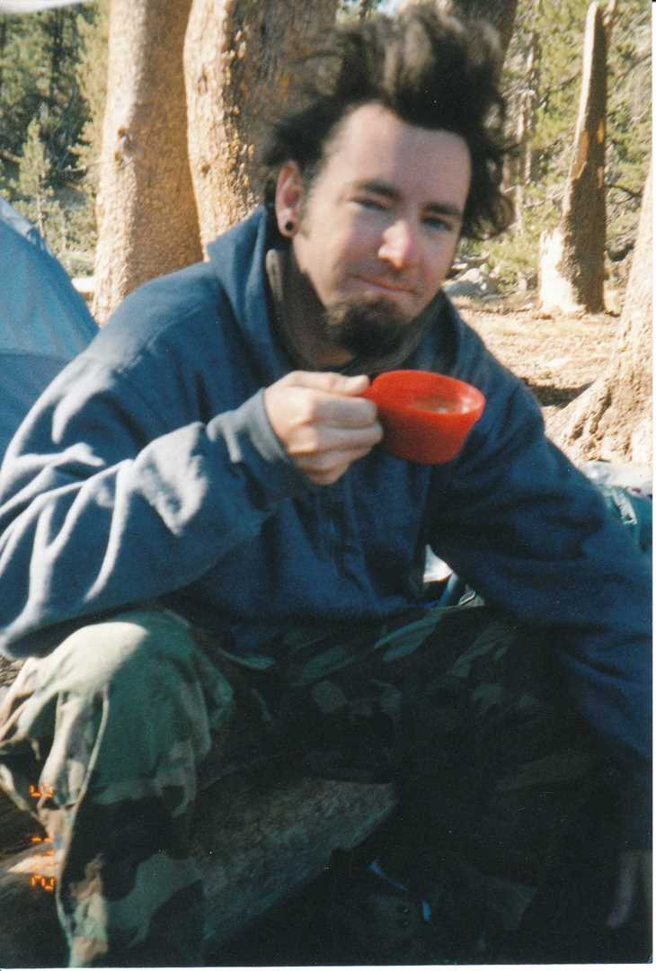
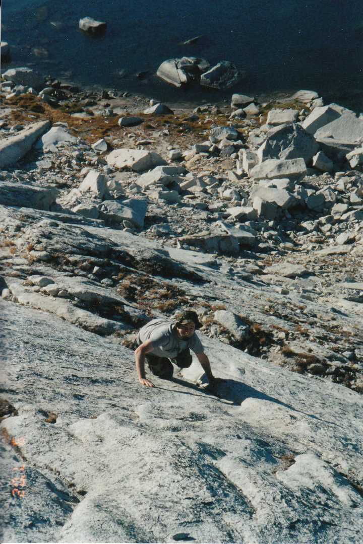
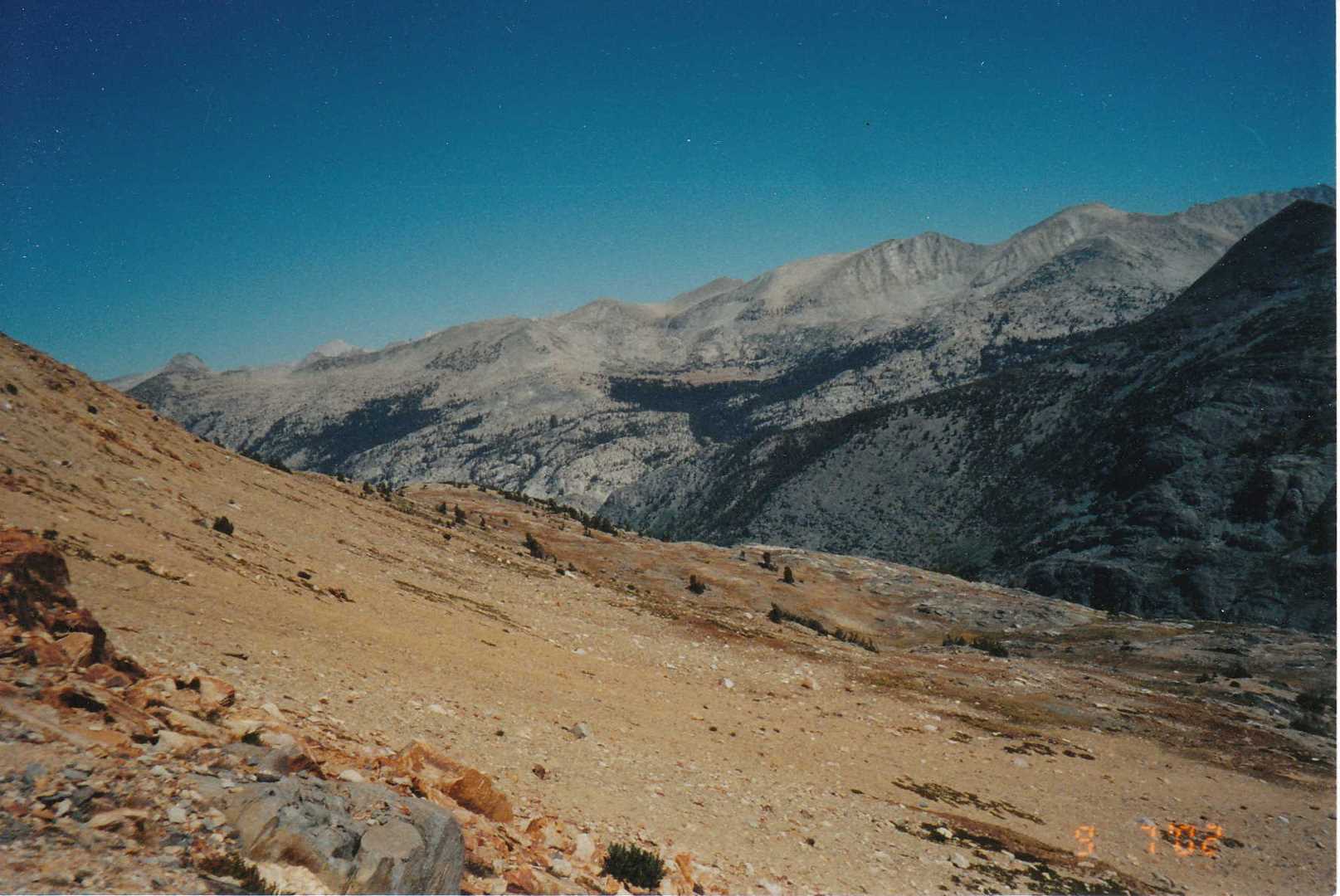
We start our trip at the back end of Courtright Lake which can be reached by a 4×4 trail named Dusy/Ershim. The actual hiking trail starts off of the road and then up the hill to our first break spot called Chamberlains Camp. This is an old Forest Service cabin and begins the boundary into wilderness territory. After taking a quick break, we head up the trail 3.1 miles until we reach the Hobler Lake junction. We head north-east towards Post Corral Meadow and then another 2.0 miles and then east at the next junction which takes you through Post Corral meadow. After traveling 2.4 miles through the meadow, we then head north at the Fleming Lake junction and travel finally another 5.2 miles to end at our Base camp at Fleming Lake. Fleming Lake will be the base camp for the remainder of the trip. The camp spot we are located at has a creek on one side and the lake on the other. The first day ends with a few shots of Yukon Jack.
Day 2 – Fish the lakes
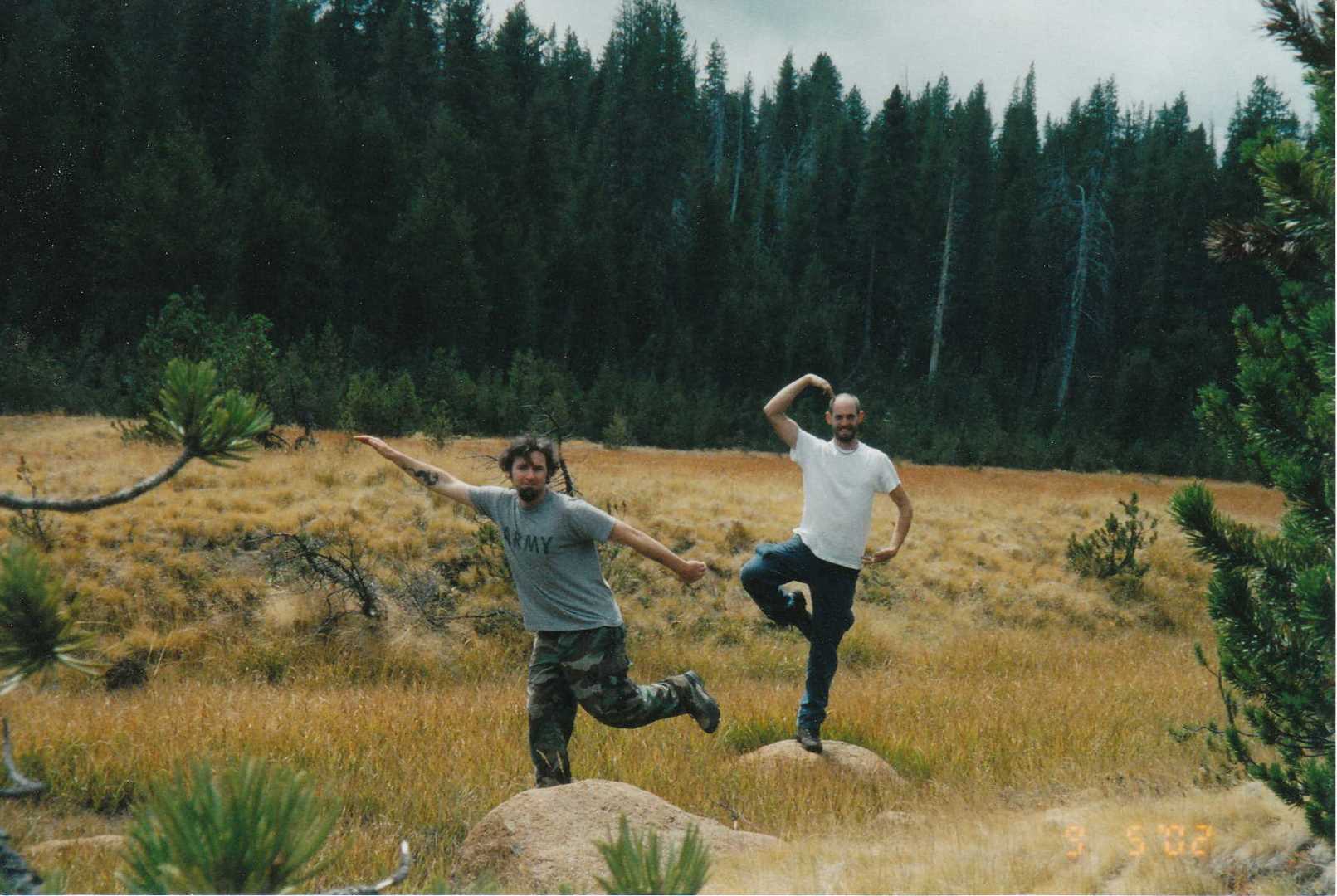
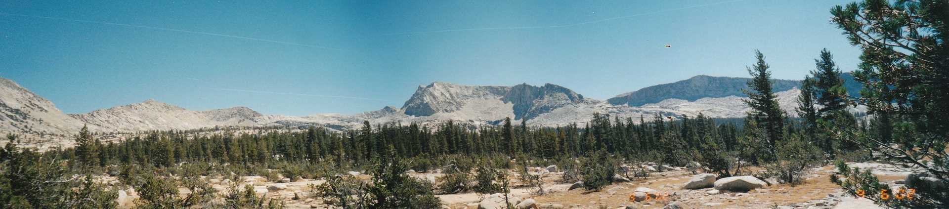
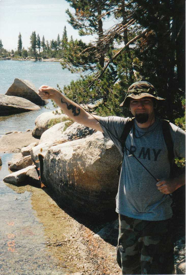
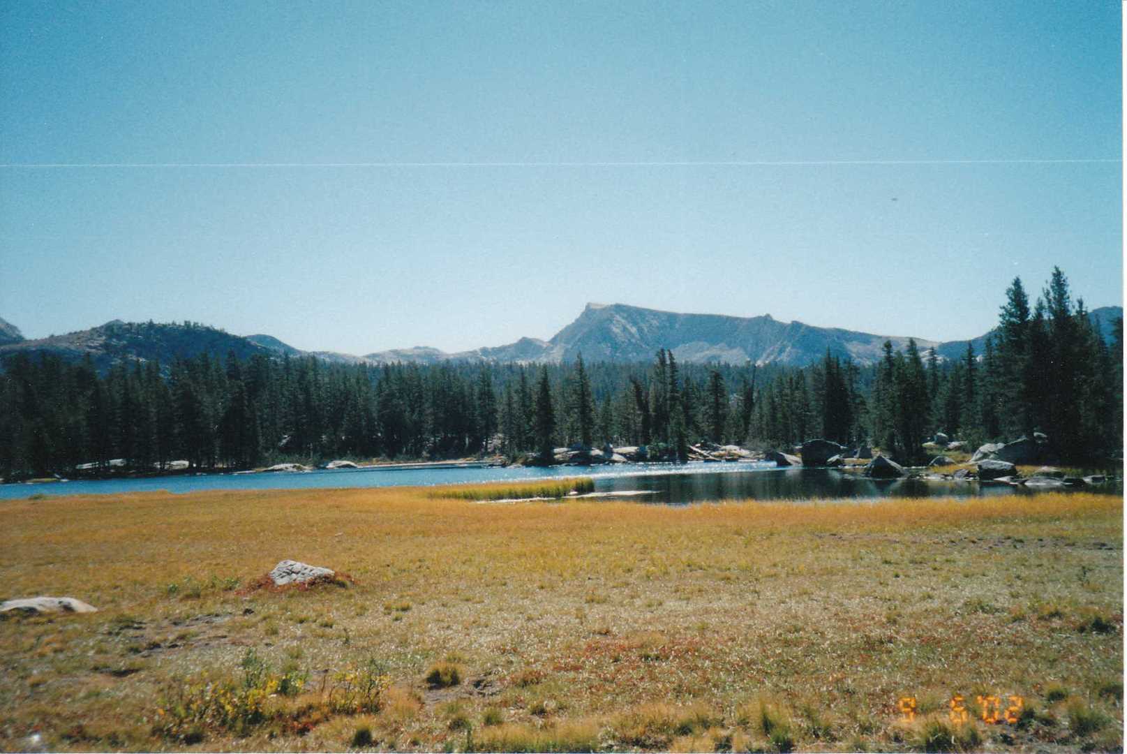
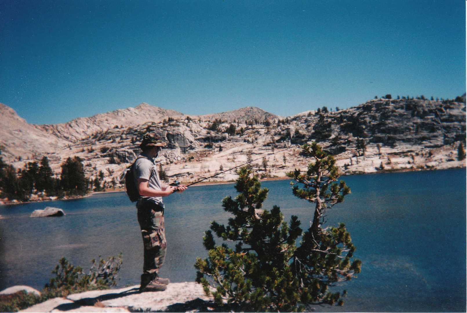
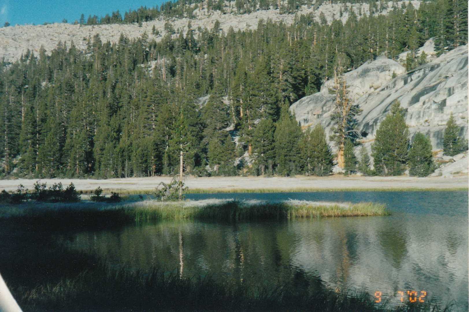
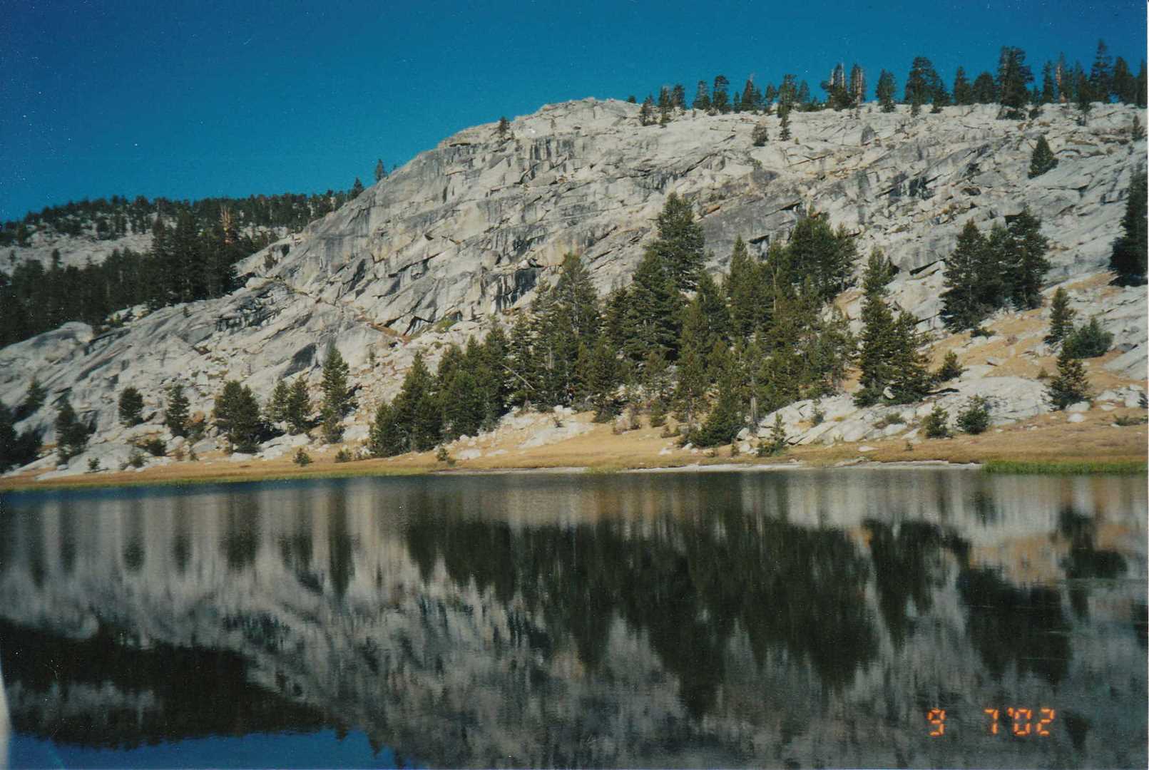
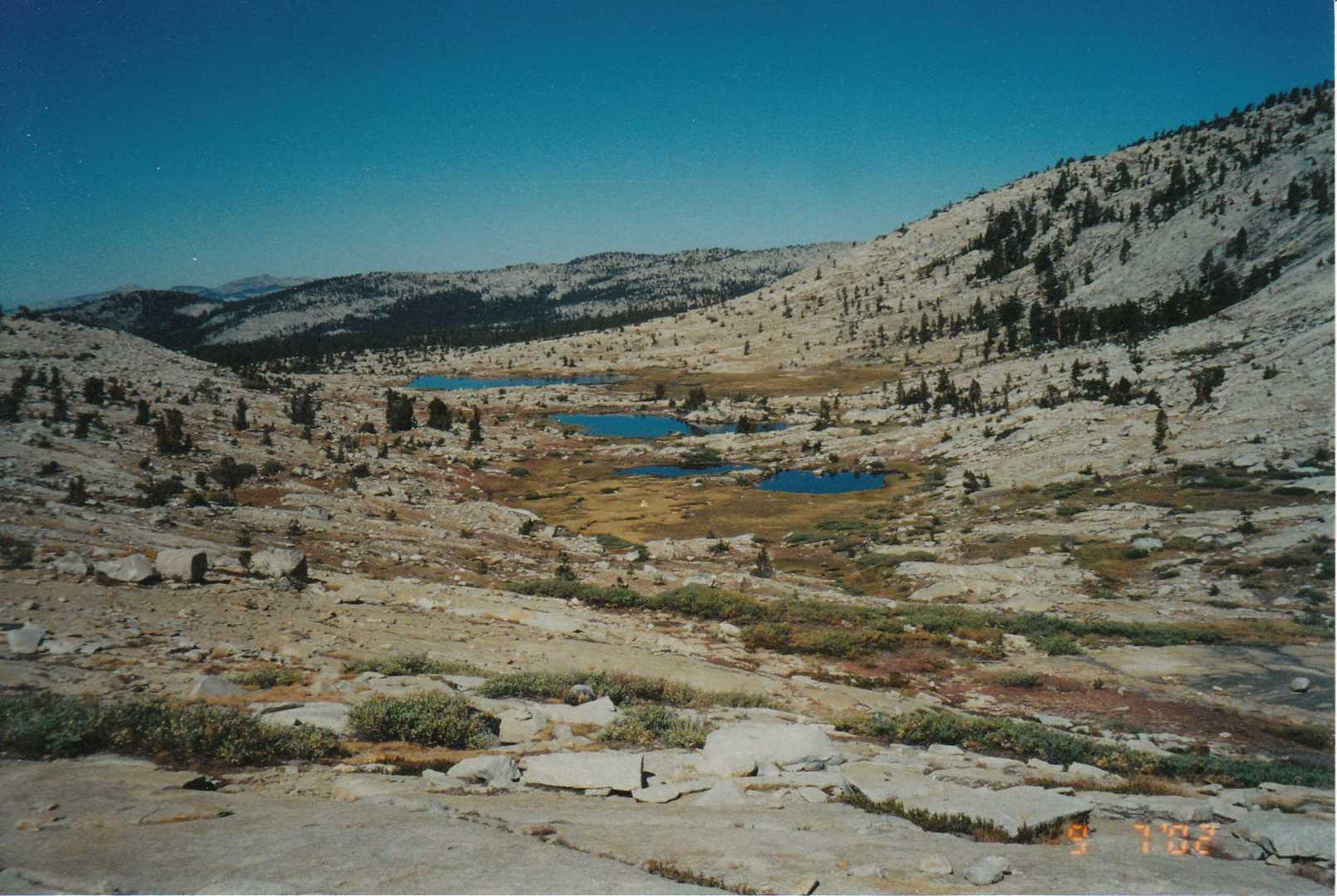
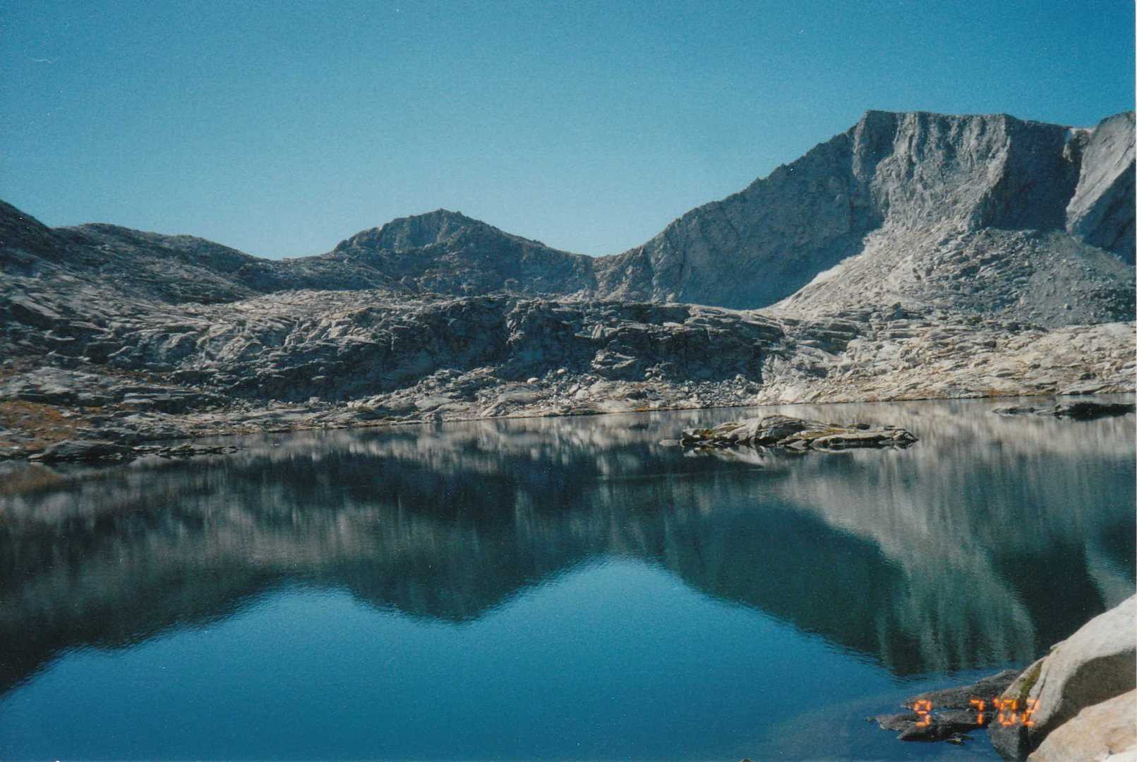
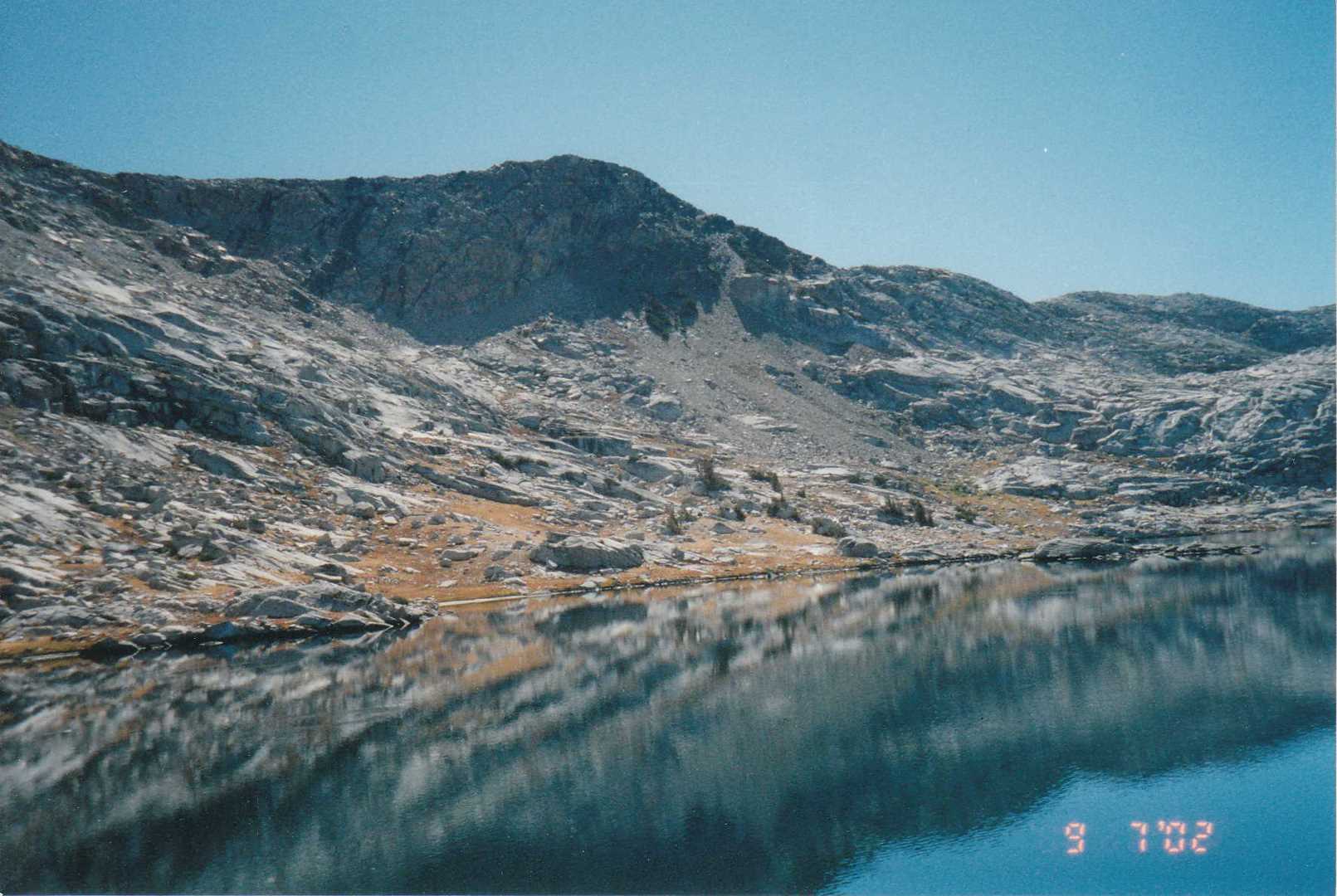
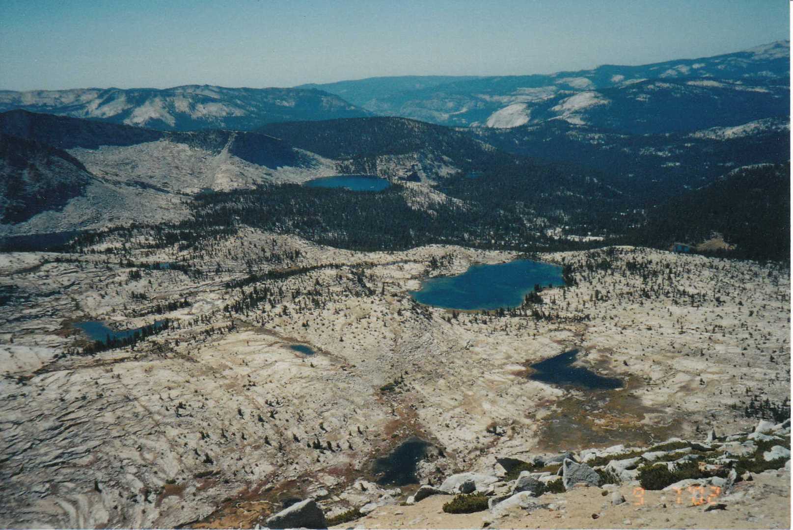
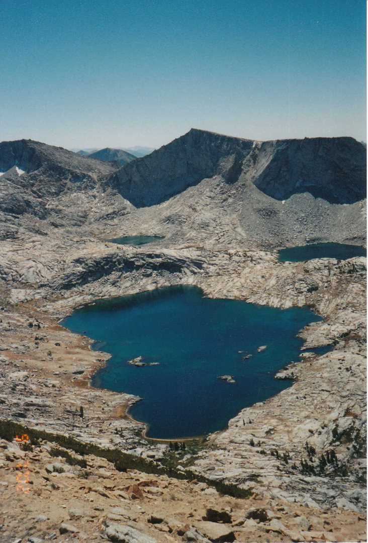
Day two is fishing day. Chris fished Disappointment Lake and Devils Punchbowl both with success. We also bounced around in the valley below the two lakes for awhile looking at the different peaks and taking a nap in the meadow. Very relaxing.
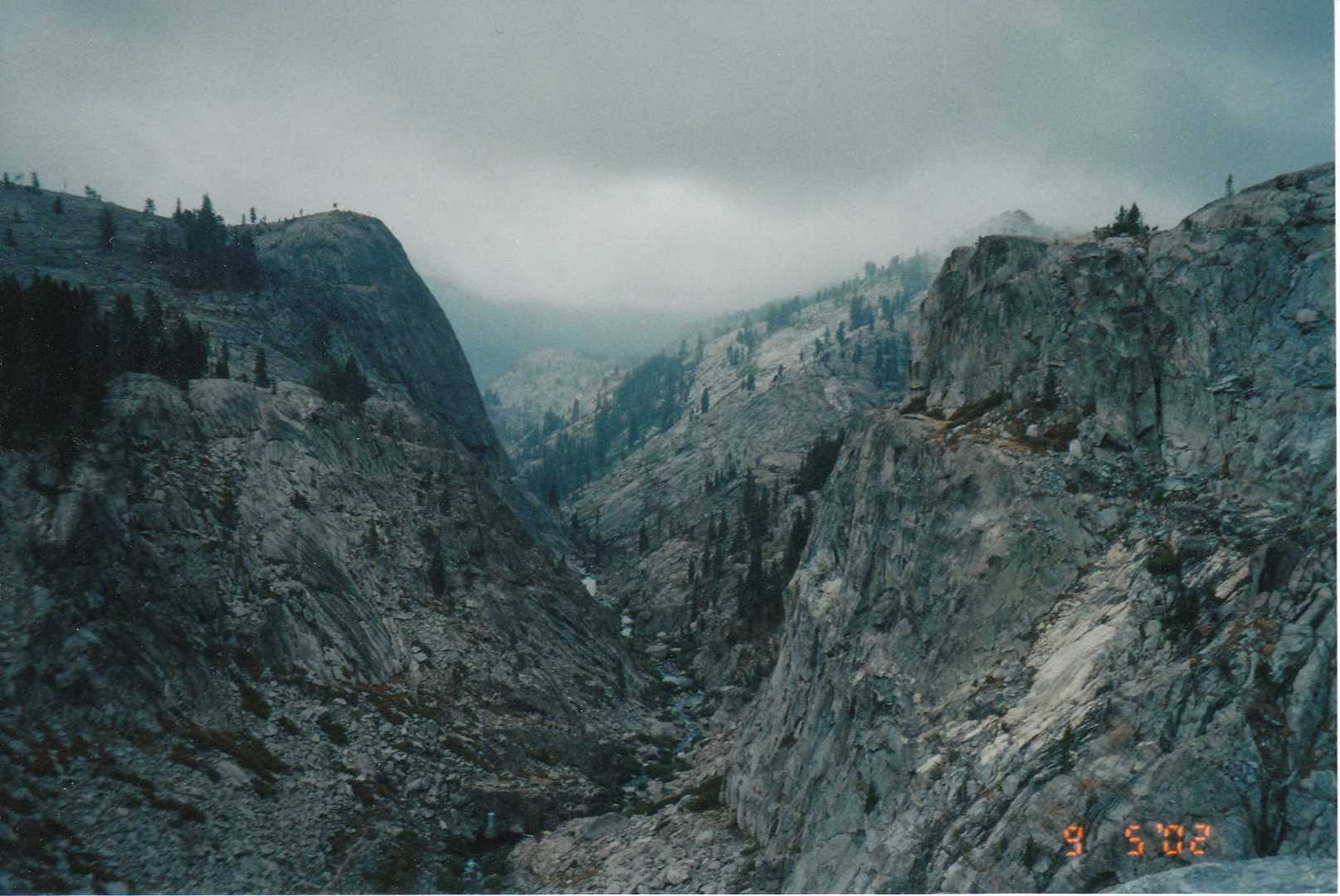
Day 3 – Climb the peak
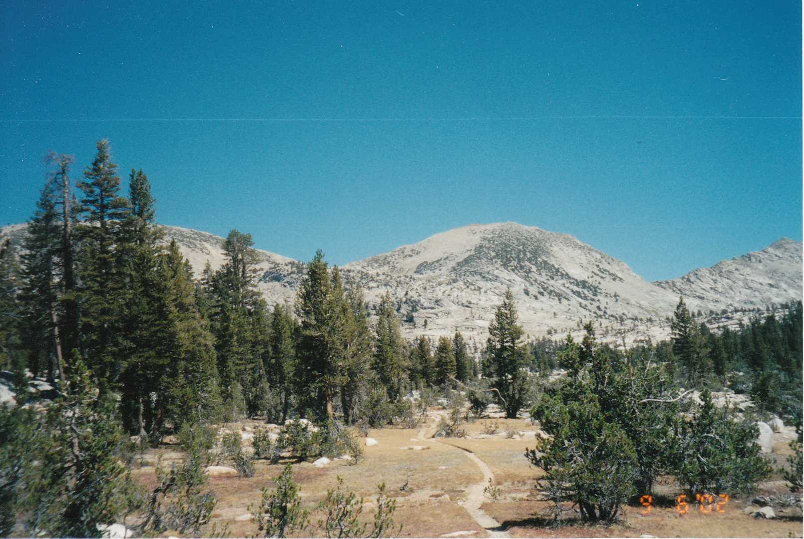
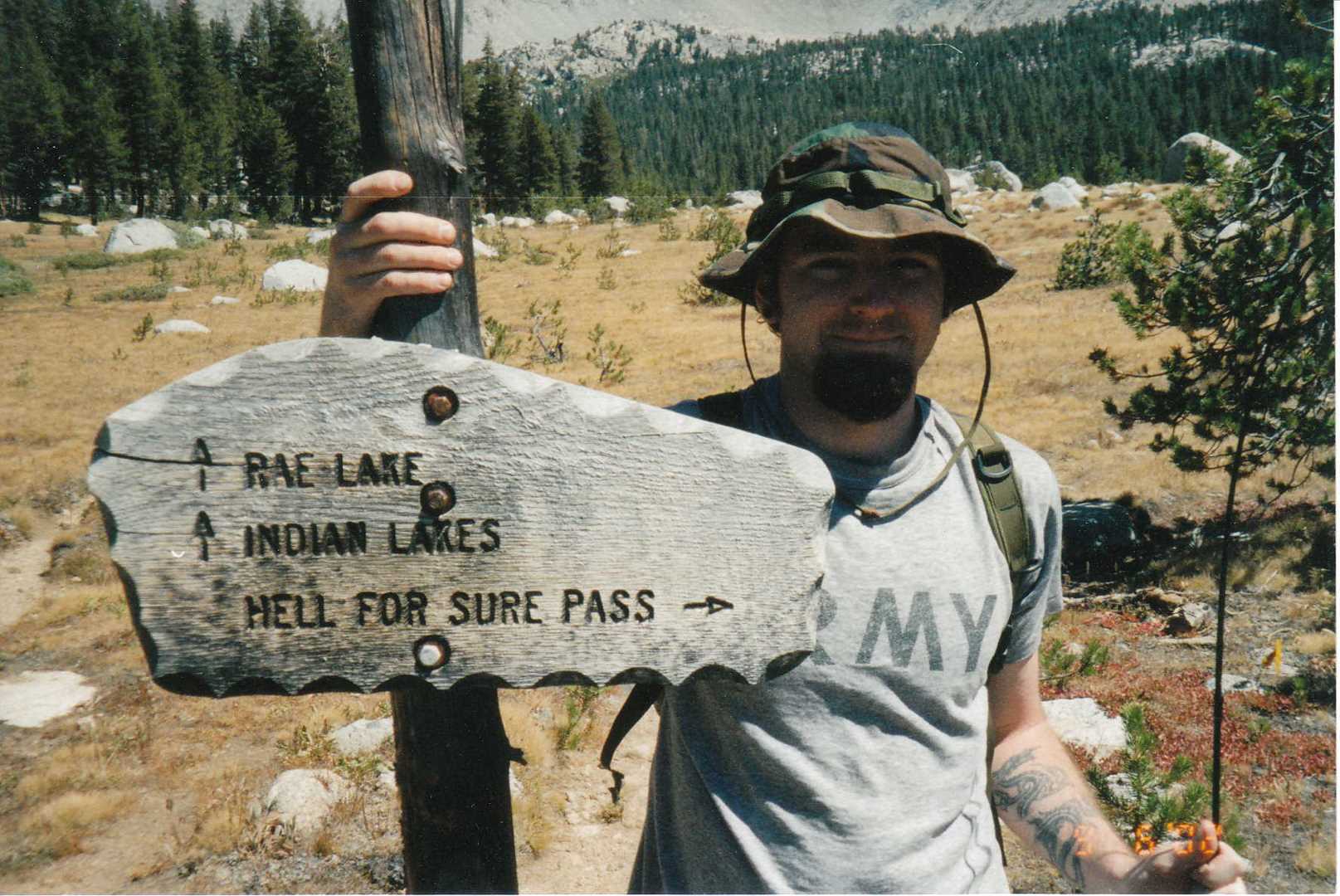
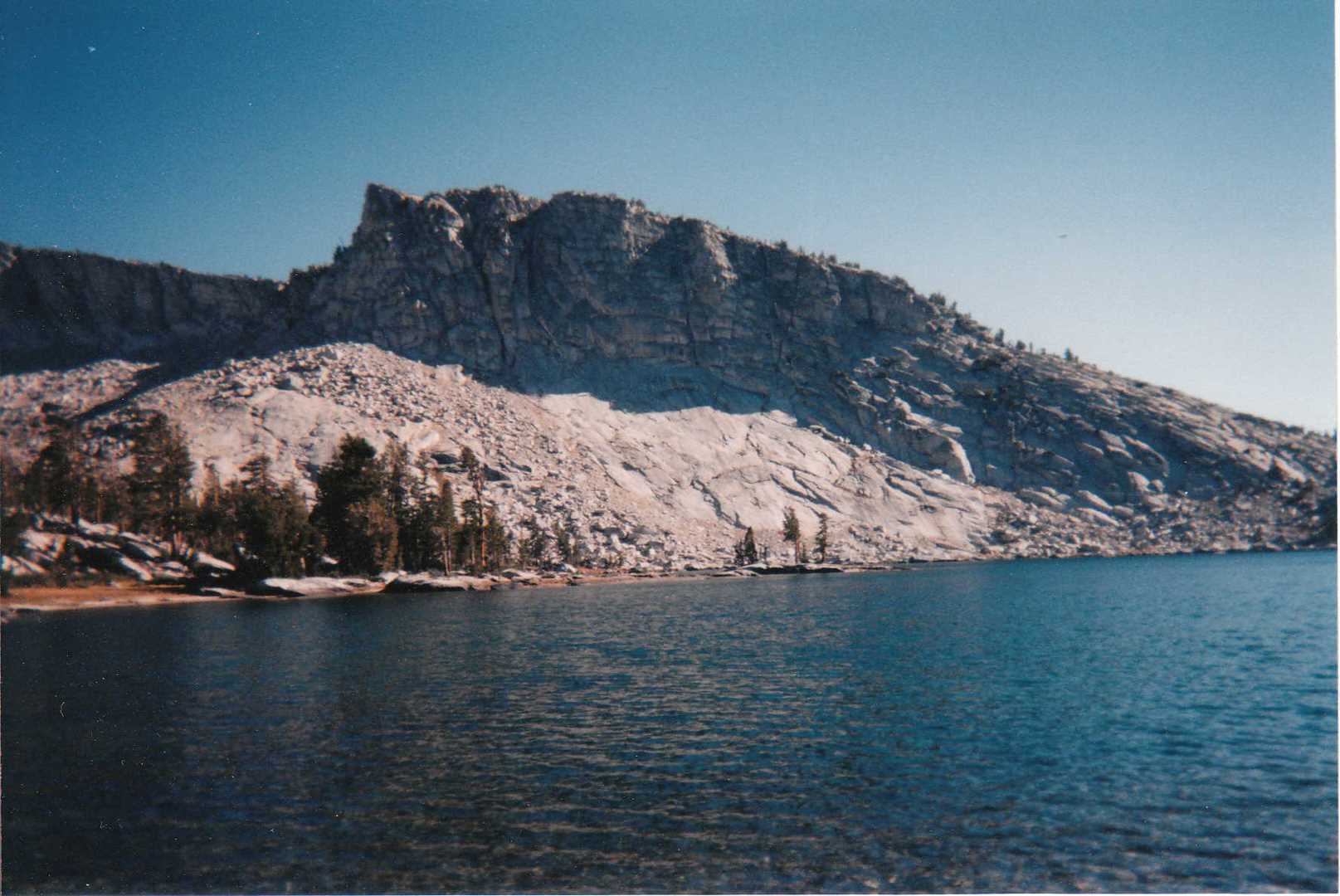
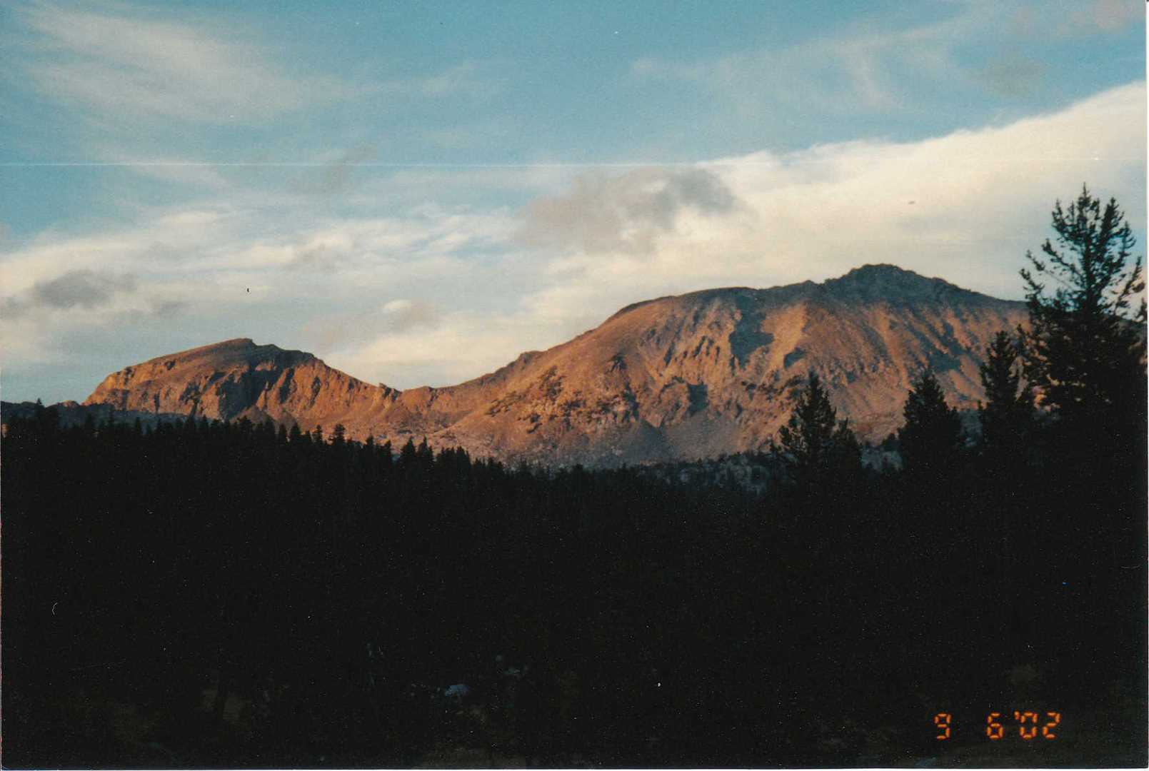
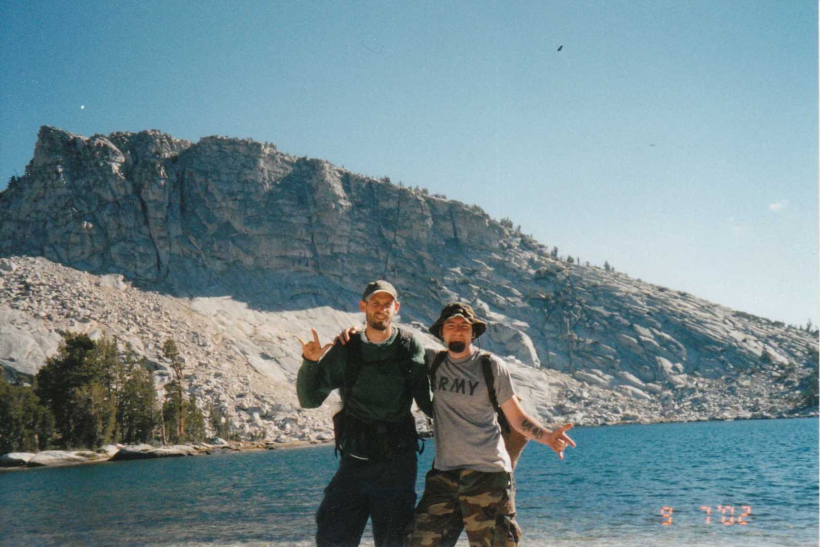
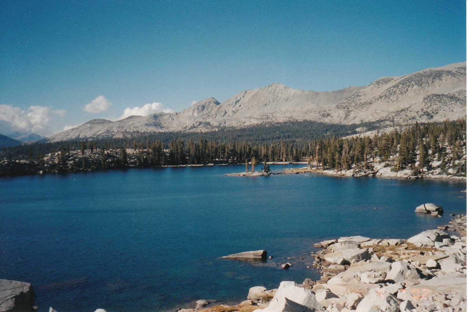
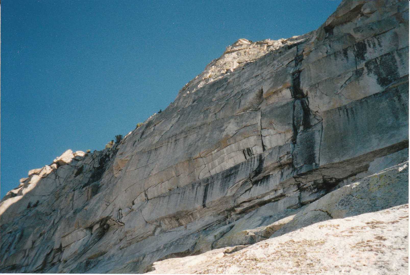
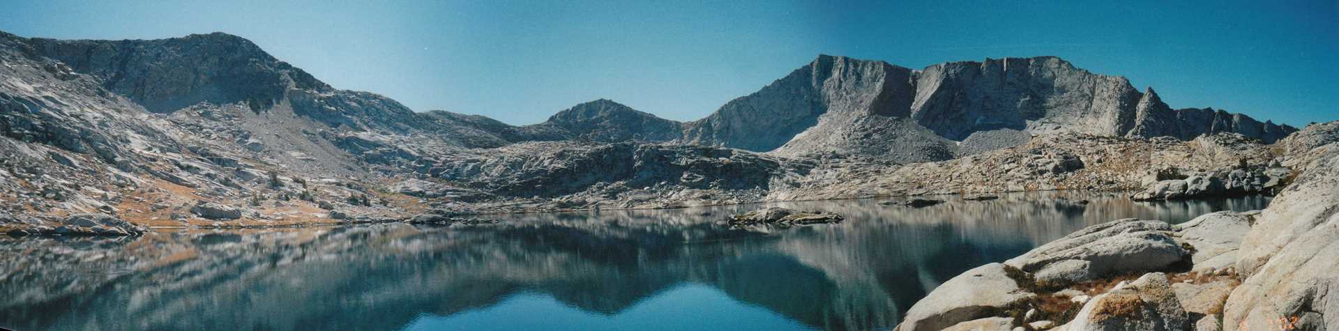
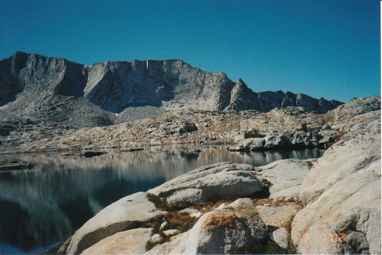
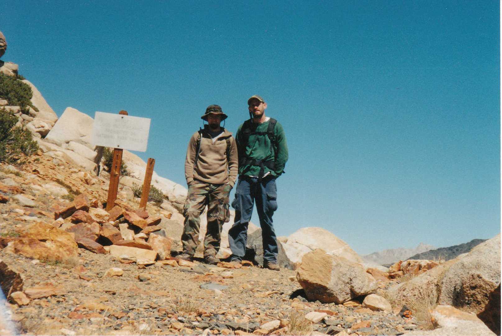
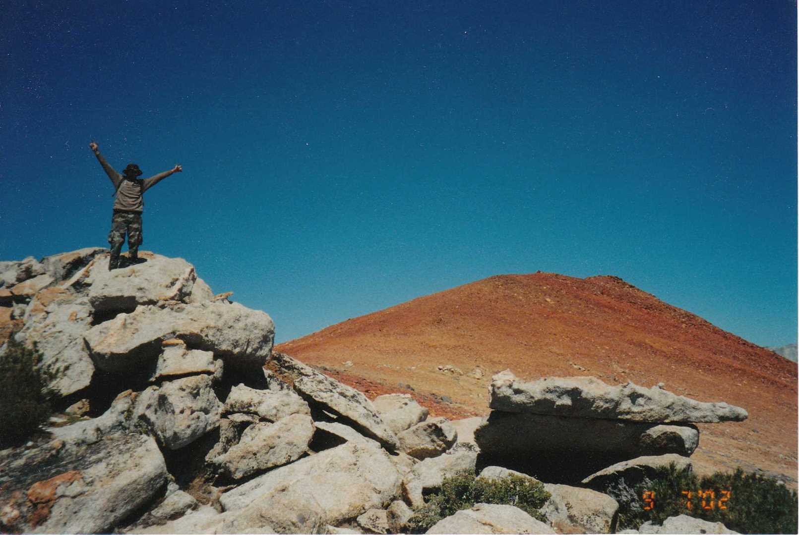
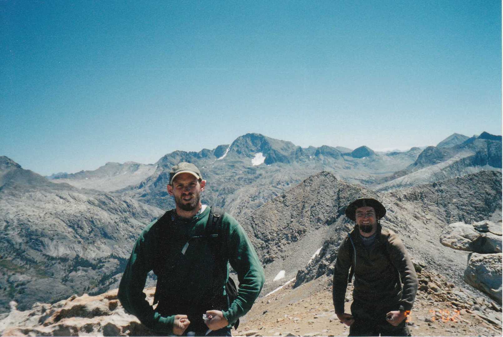
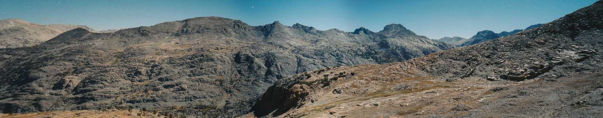
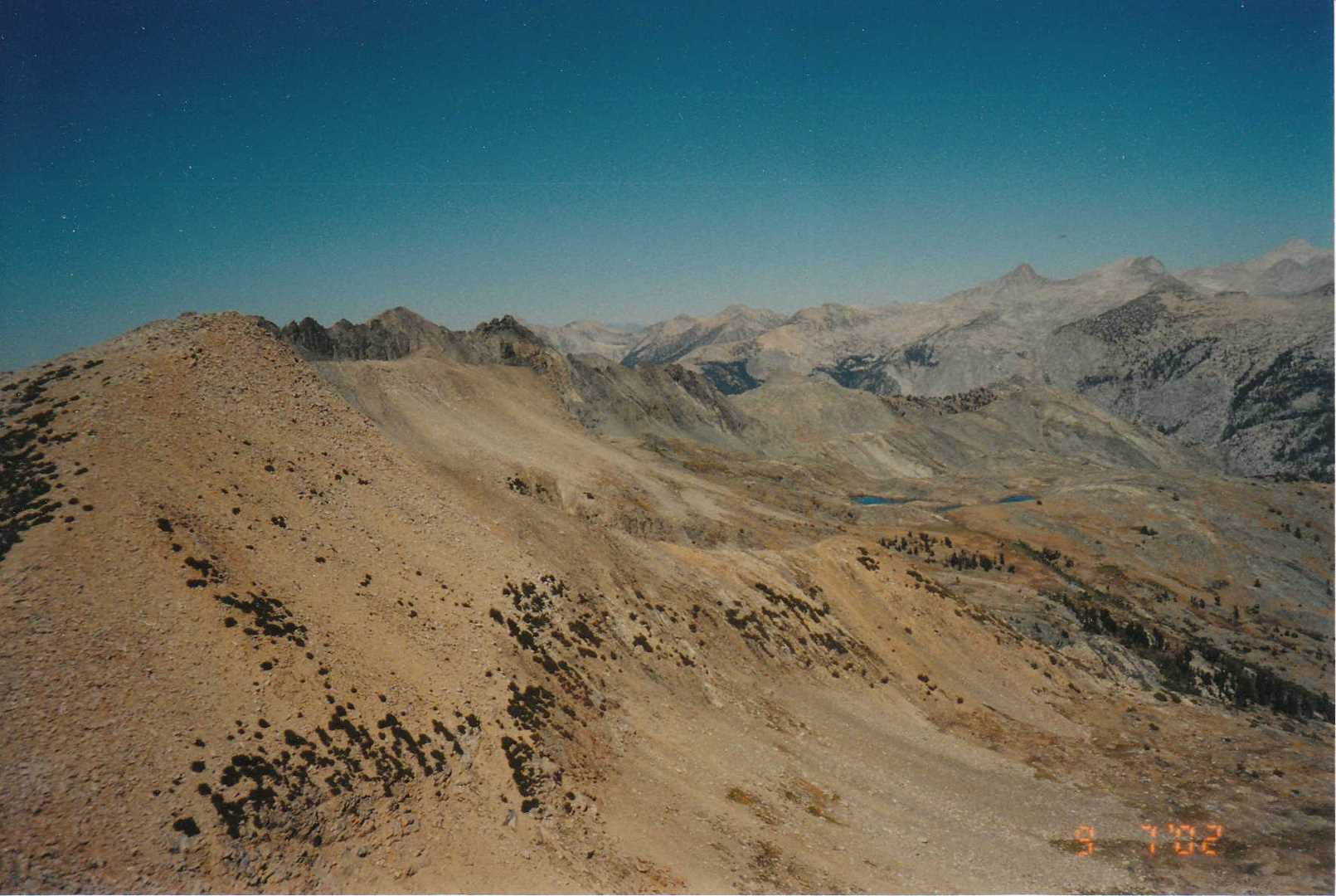
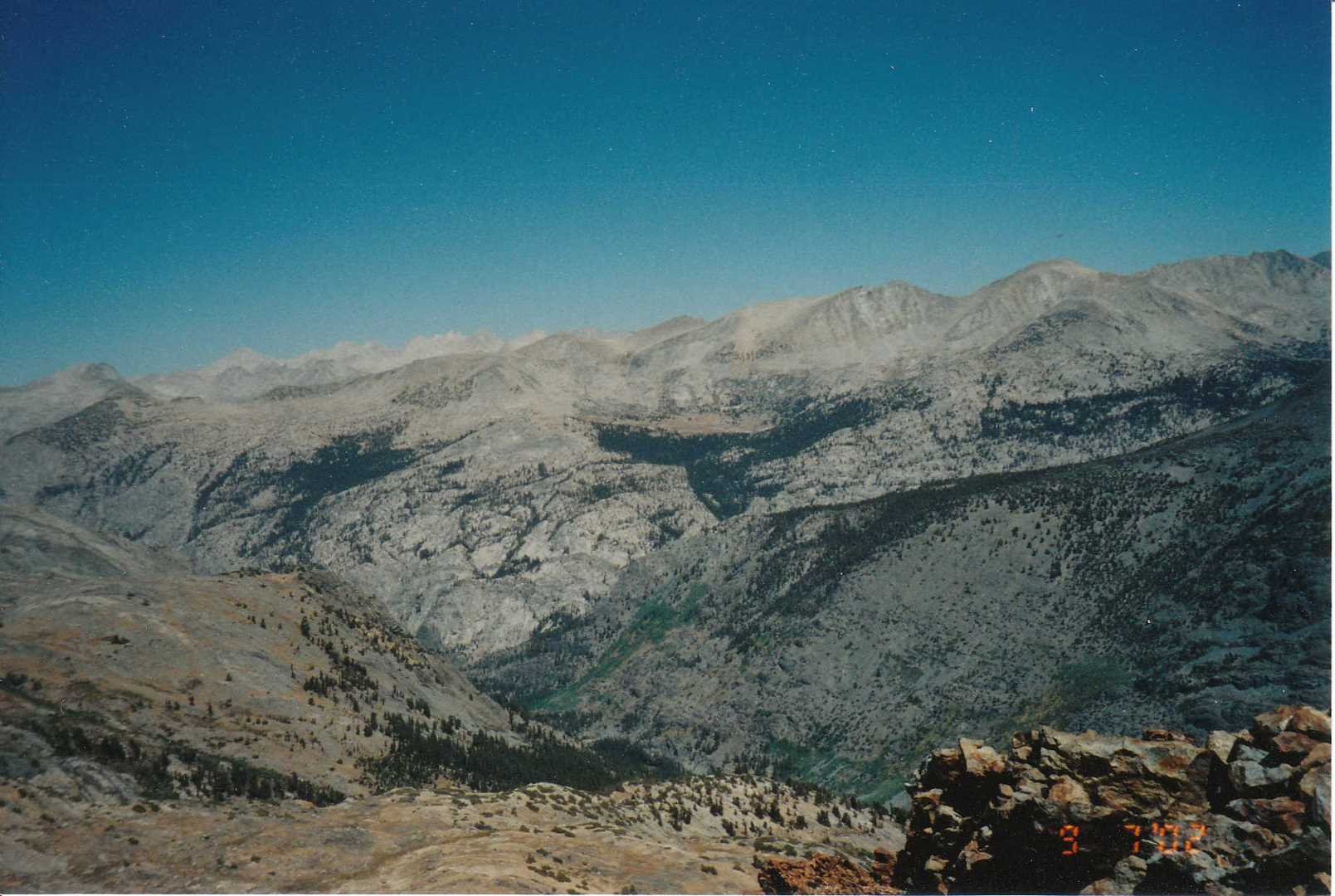
On day three, we decided to do a little fishing at Devils Punchbowl again and then climb Red Mountain via Hell For Sure Pass. From Hell For Sure Pass, you can see a lot of the Kings National Park. After hanging out at the pass for a bit, we proceeded to climb Red Mountain which sits at about 11,965 feet. The oxygen is thin up there so we don’t stay too long and head back to camp.
Day 4 – Hike out
The last day is always hard. It was a good trip with lots to see. This is some of our favorite hiking grounds and hopefully we can make a second visit again in the future.